Fox River State Trail: De Pere to Green Bay
It is six miles on the Fox River State Trail from Voyageur Park in De Pere to downtown Green Bay. The path follows close to the Fox River most of the distance, offering spectacular vistas all along the way. It also passes through several parks that provide perfect places to relax and enjoy even more panoramic views of the river and its surroundings.
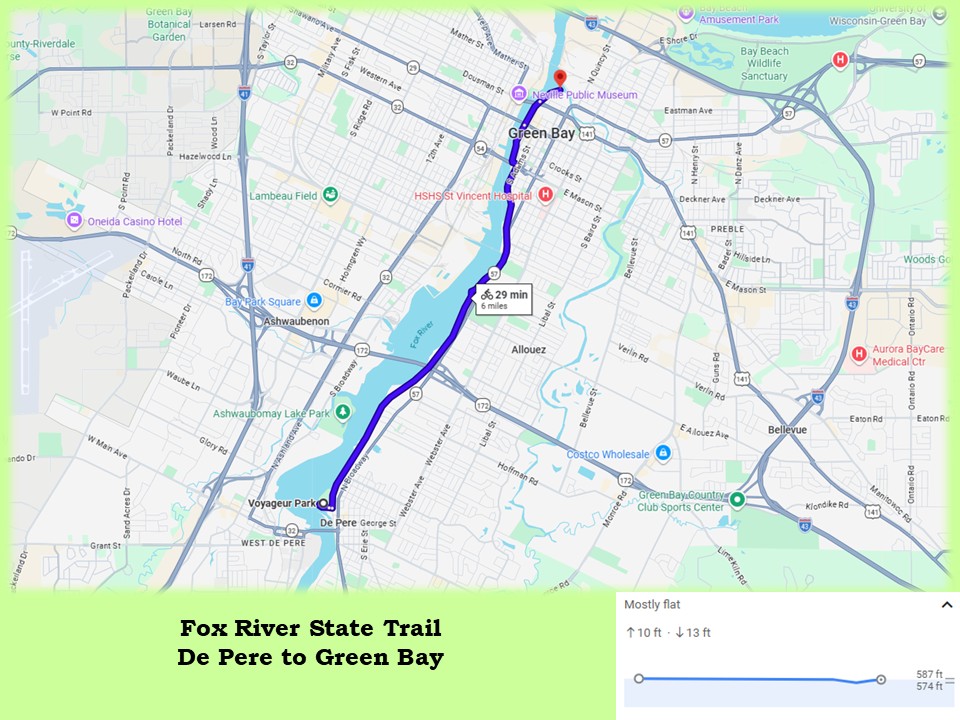
The Fox River State Trail officially ends in Green Bay at Porlier and Adams Streets. From Voyageur Park in De Pere, this distance is 4.5 miles. But the path continues north along the river for another 1.5 miles. It advances through Green Bay’s downtown and ends at the confluence of the Fox and East Rivers. There, the path becomes the East River Trail.
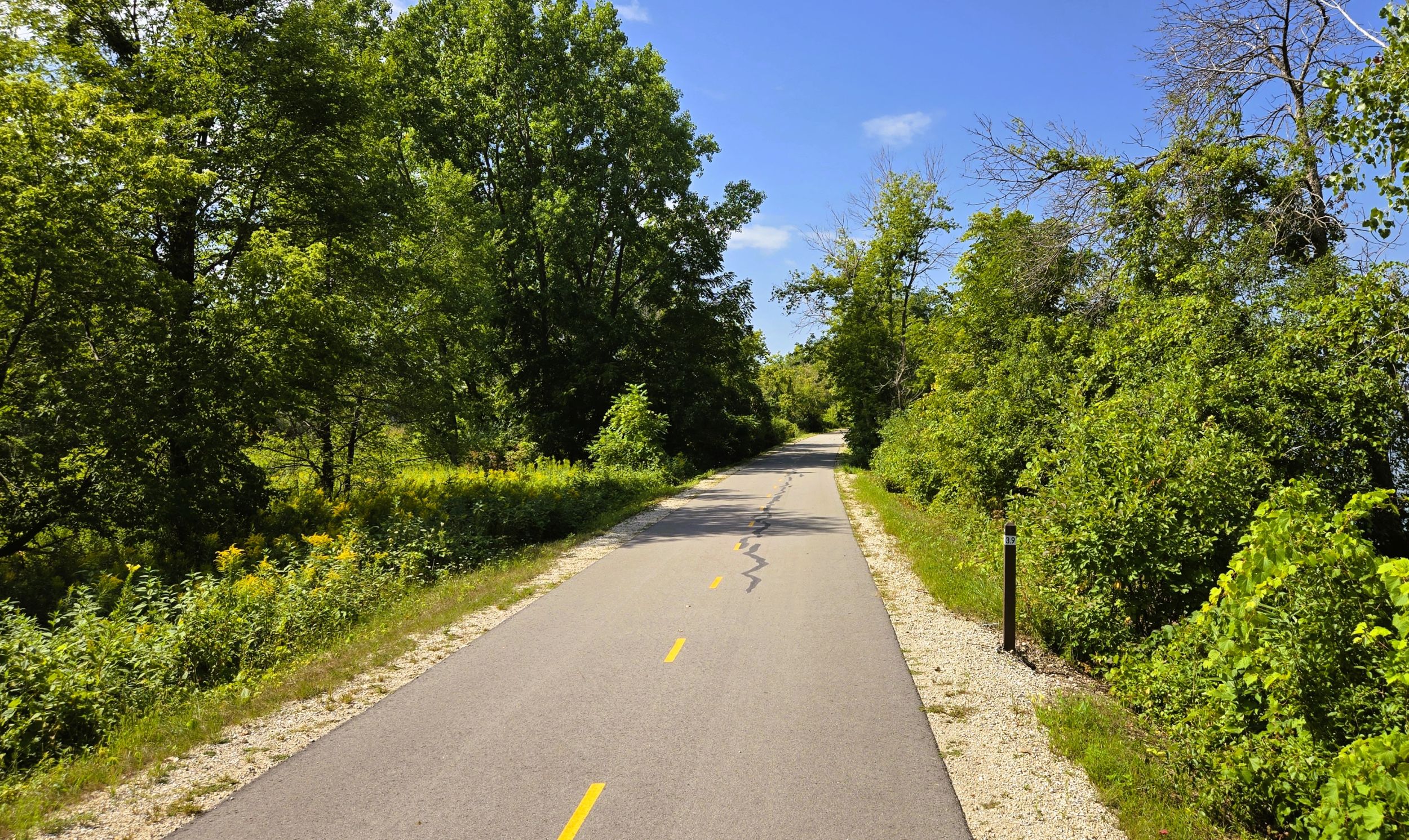
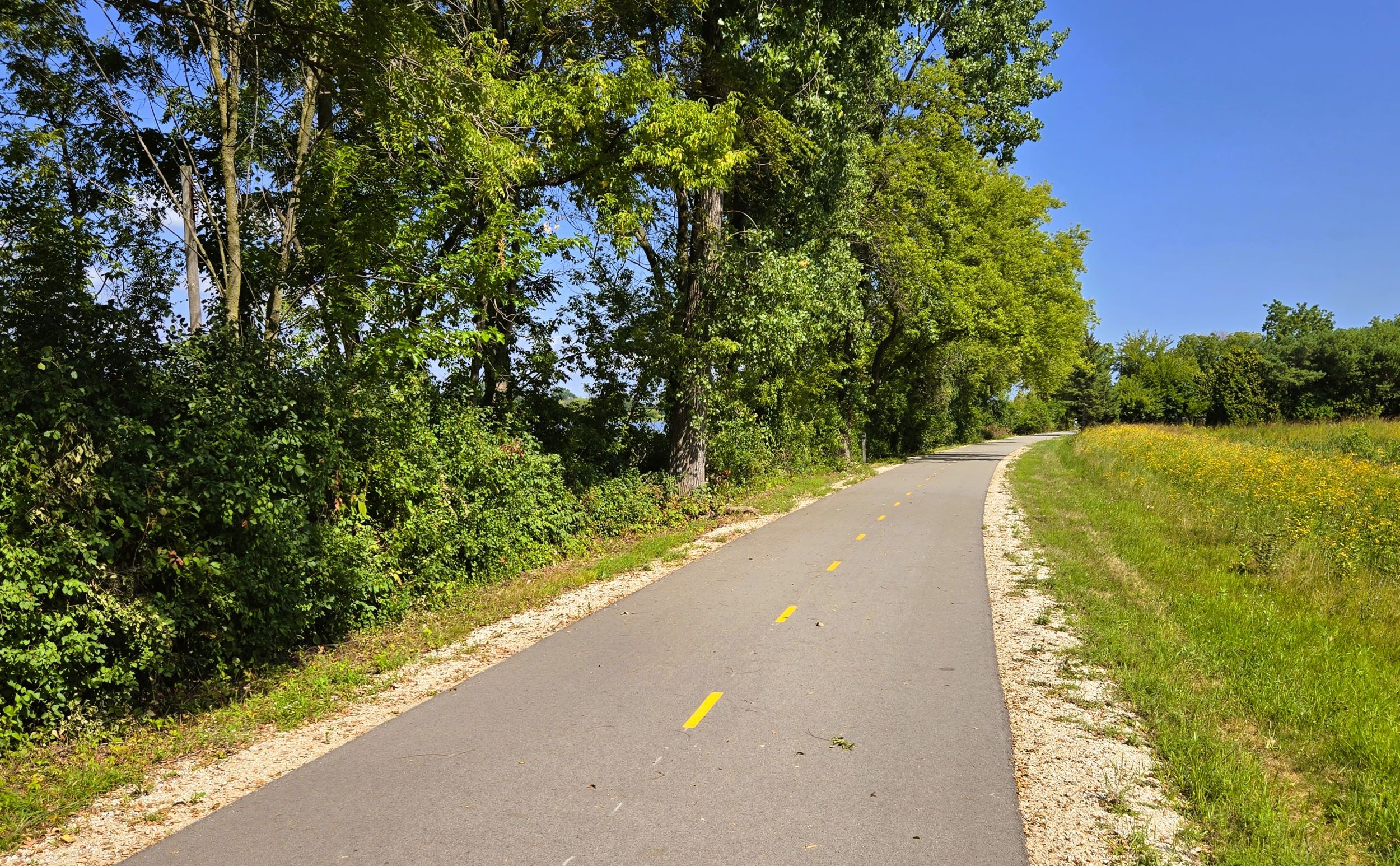
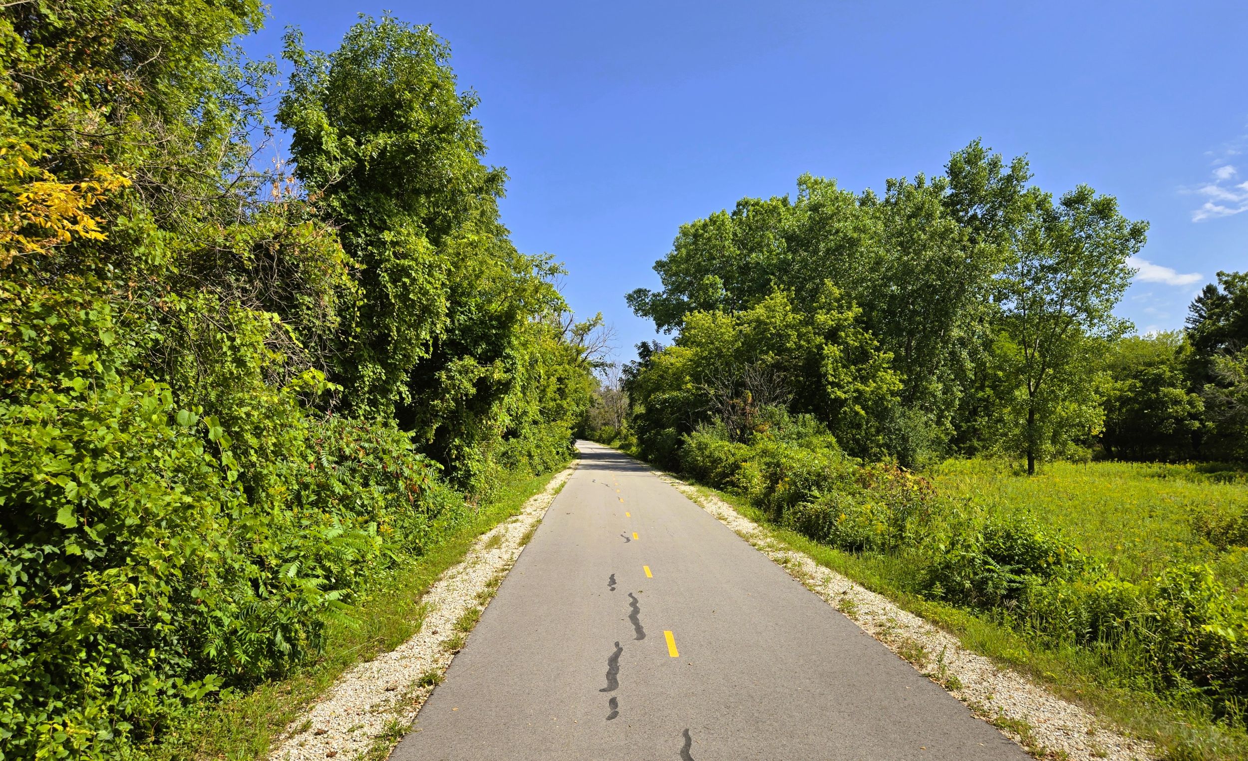
The surface of the Fox River State Trail in this section is paved with asphalt, in excellent condition. Center lines divide trail traffic into two lanes. The path is well-marked, including mileage posts and speed limit signs. Because this trail section is heavily used, a maximum speed of 15 miles per hour is prescribed. The path is especially busy on weekends in the summer. Nonetheless, this short ride is quite scenic and enjoyable.
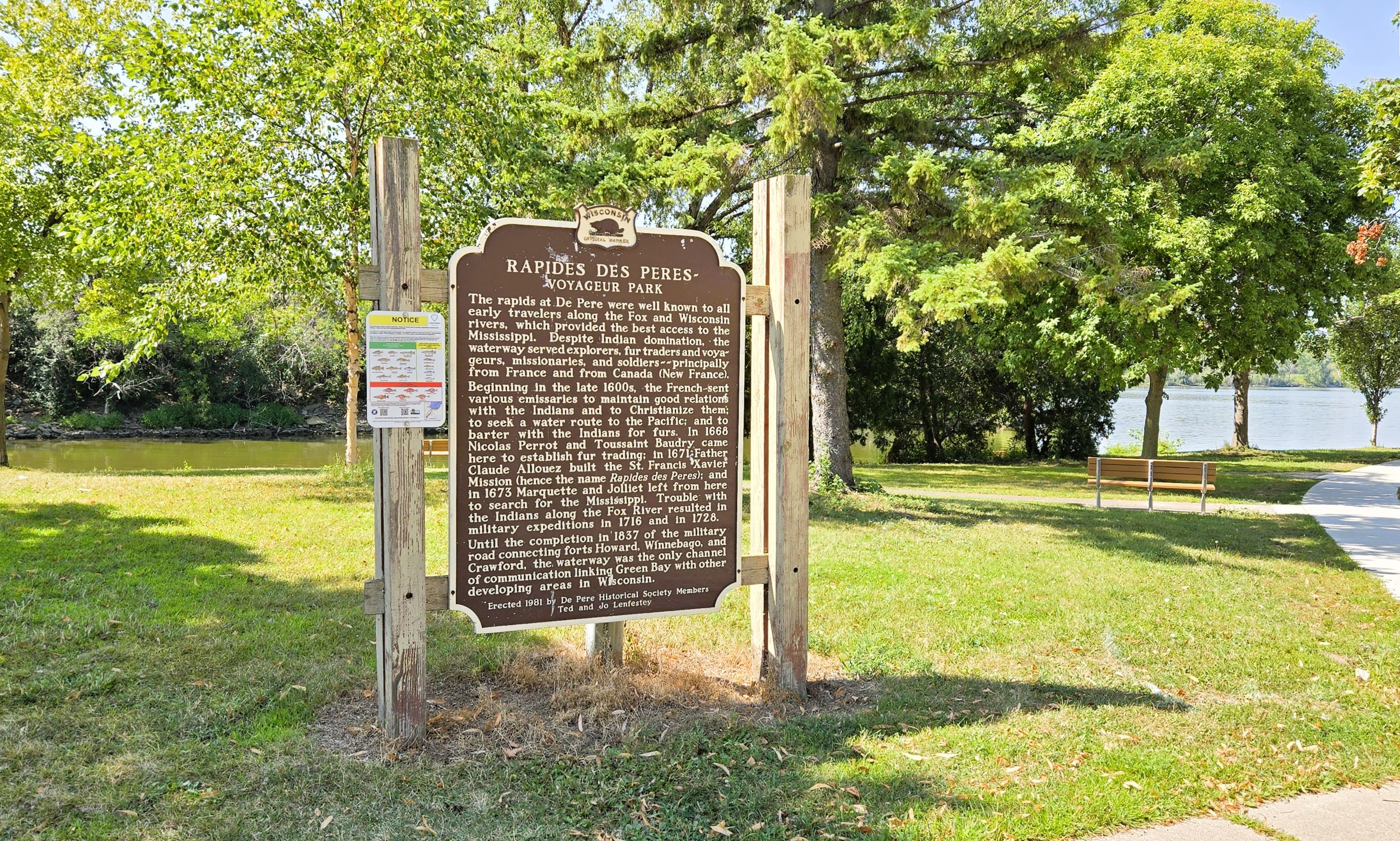
Voyageur Park in De Pere works well as a trailhead. The park is nearly 22-acres and sits on the bank of the Fox River in the De Pere Lock and Dam Historic District. Voyageur Park has ample parking, picnic tables, restrooms with flush toilets, drinking water, a playground, information kiosk, self-service registration station, and a self-serve bicycle repair station. Several historical markers there convey the unique story of this area of Wisconsin.
Native American nations lived along the banks of the Fox River for centuries before European contact. French fur trade Nicholas Perrot arrived in 1688 and built warehouses to store trade goods and furs on land that would eventually become Voyageur Park This area served as his base of operations in the wilderness. From here, he journeyed west to trade with Native Americans, or returned back east to Montreal with packs of furs.
Jesuit missionary Claude Allouez established St. Francis Xavier Mission at present-day De Pere in 1671, with the goal of converting Native Americans to Christianity. French missionary fathers (or Peres) lived near the waterfall on the Fox River, so the area became known as the “Rapides de Peres.” De Pere’s name comes from that early French expression. In 1673, explorers Father Jacques Marquette and Louis Joliet stayed at the mission before heading upriver on their famous journey to explore the Mississippi River.
Returning to modern-day De Pere, the city’s downtown area has a lot to offer visiting trail-goers. The historic Union Hotel and Restaurant is a popular place to eat and a step back in time. The Ennis Inn Hotel and Pub offers unique Irish fare. History lovers may want to tour White Pillars Museum, an enclosed historic building adjacent to Voyageur Park.
Coffee shops, bakeries, and a renowned candy store also tempt trail-goers in De Pere. Seroogy’s Chocolates has been making chocolates since 1899. Black Honey Hashery serves breakfast and a variety of delicious coffee drinks. Voyageurs Bakehouse and Delights Bakery and Café both offer fresh baked goods and tasty pastries.
Before or after a ride on the Fox River Trail, cyclists may want to visit the De Pere Riverwalk at Voyageur Park. The esplenade reveals stunning vistas of the area. The path crosses over the Army Corps of Engineers Lock and Canal. There are two historic lockkeeper houses by the canal. The Riverwalk continues onto a wildlife viewing pier that extends well into the Fox River. Eagles, cormorants, American White Pelicans, and other birds are commonly seen. The view of the city, river, and surrounding nature is impressive.
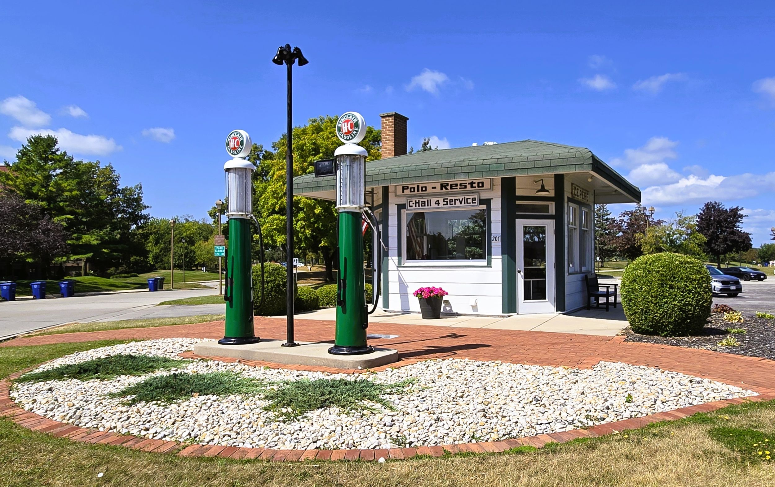
Voyageur Park is reached by car from Wisconsin State Highway 57 (N. Broadway) in downtown De Pere. Turn east onto William Street from the highway and drive straight into the park. Before heading north on the path, trail-goers may want to examine the restored Polo-Resto Service Station. Built in 1925 by Charles Hall, the station served motorists traveling through Allouez on old Highway 41, now Riverside Drive. North of the historic service station are two historical markers, one of which tells the story of the Polo-Resto.
After departing Voyageur Park, the Fox River State Trail moves north next to the river and past a neighborhood. Posted signs remind trail-goers that adjoining property is private. After nearly a mile, a spur trail leads right (east) up the hill to the Bike Hub. This local shop caters to the needs of bicyclists on and off the trail. It is located on Riverside Drive.
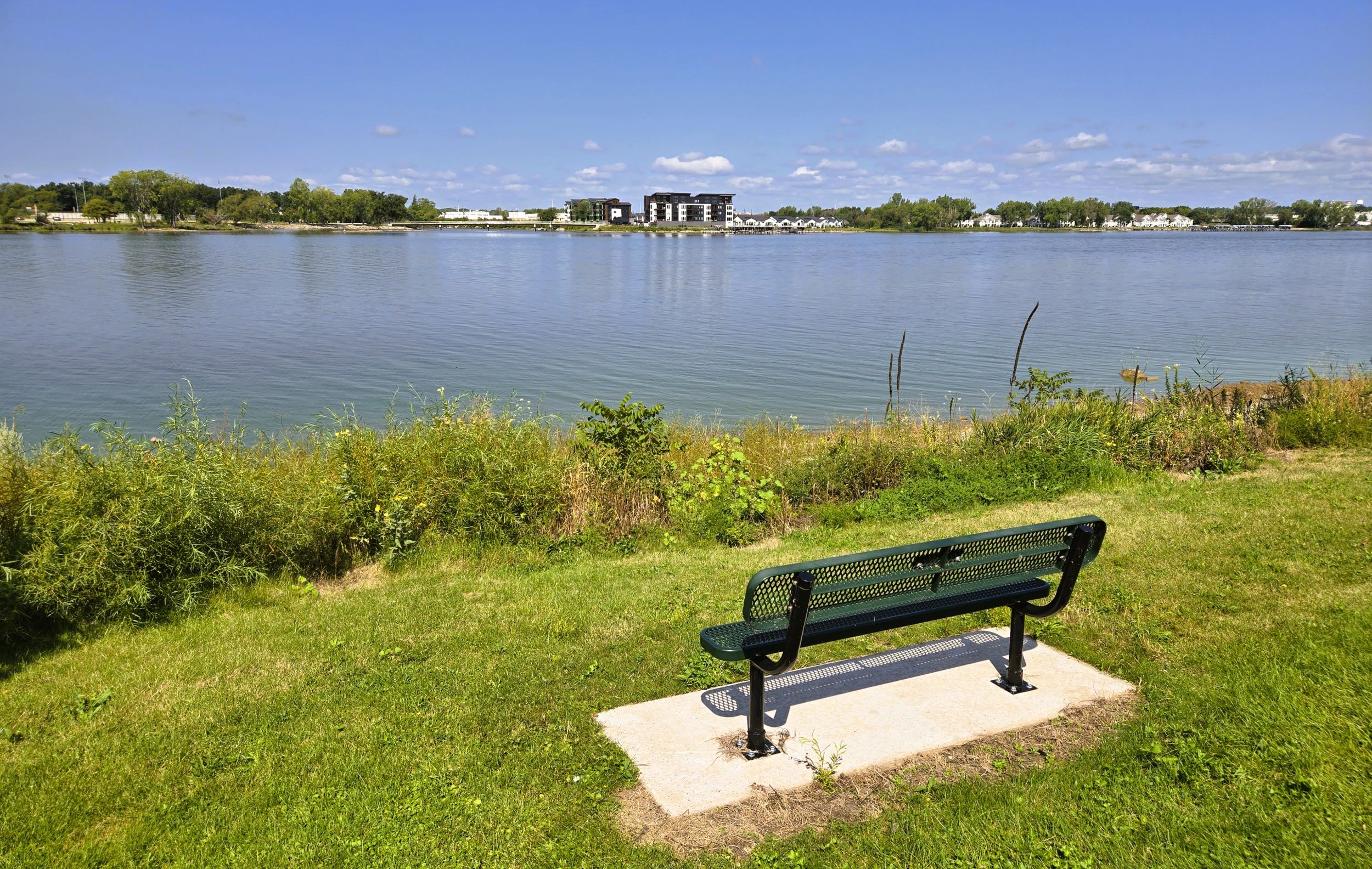
The trail then arrives at Fox Point Boat Launch. Parking lots, restrooms, drinking water, and picnic tables are found there. The boat landing serves boaters and anglers, but a bicycle station is on the north end of the grounds by the trail. It has an information kiosk, self-service registration station, and self-service bicycle repair station. The site works well as a potential trailhead. The boat launch offers a scenic view of the river.
To reach the Fox Point Boat Launch by car, drive north 1.5 miles from downtown De Pere on Wisconsin State Highway 57 (N. Broadway) to the entrance on the left (west) side of the road. Another route is to exit Wisconsin State Highway 172 onto Wisconsin State Highway 57 (Riverside Drive), and drive a mile south to the boat launch driveway.
Near the boat launch are two fast food restaurants that serve food and ice cream treats. Follow the driveway east up the hill to North Broadway. There, bicyclists have a choice of an A&W or Dairy Queen. Either place promises tasty meals, floats, sundaes, or cones. Next to the fast food restaurants is a locally-owned coffee shop and eatery. The Maple Buzz Café takes pride in “keeping life simply sweet, one meal at a time.” The café sells an assortment of delicious coffee beverages, breakfast and lunch sandwiches, salads, and wraps.
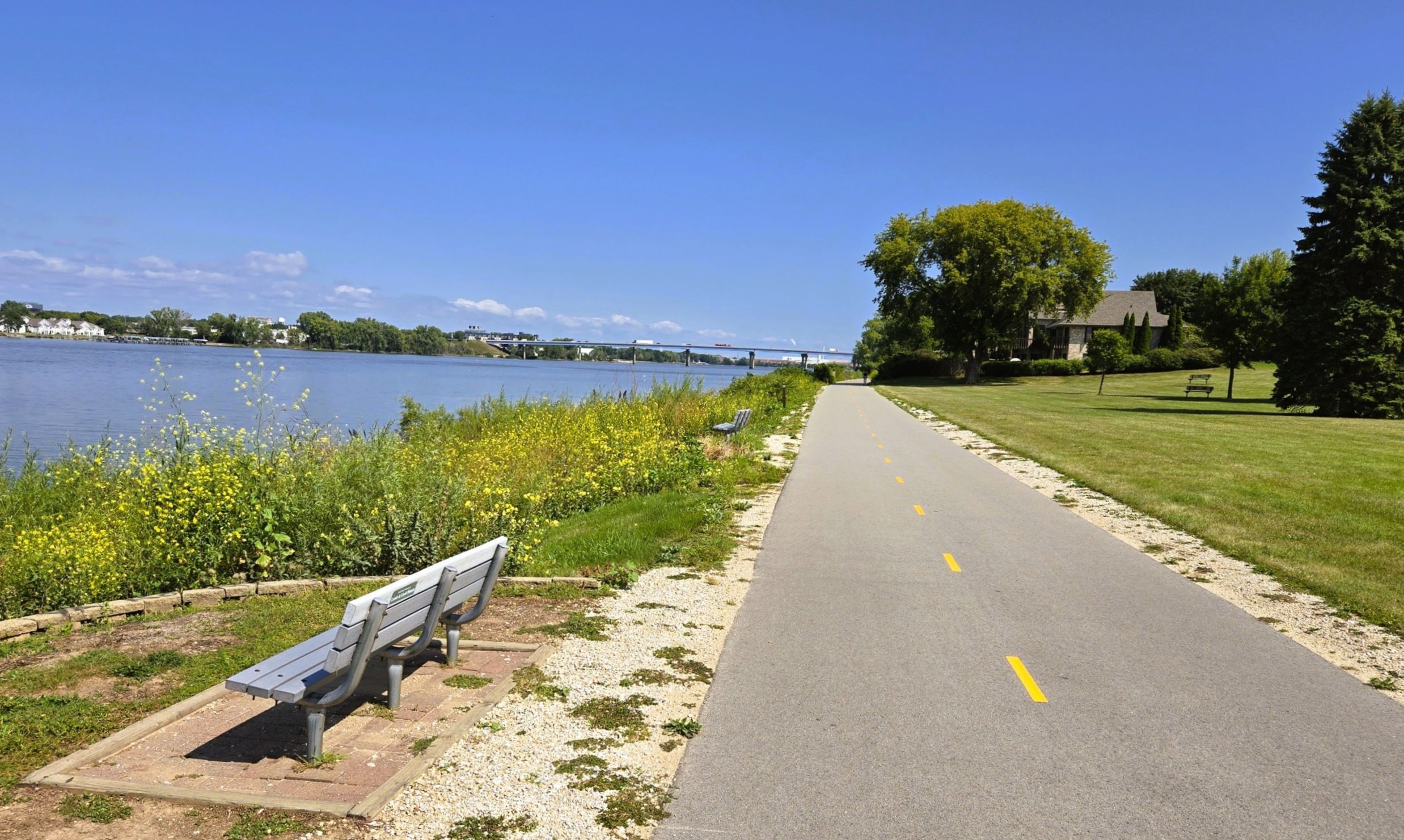
Back on the trail, as the path leaves the Fox Point Boat Launch, it departs De Pere and and enters Allouez. After a few hundred yards, the Fox River State Trail arrives at Sunset Park. On the southern edge of the park is a Green Bay Packers historical marker, locatd by a spur tail heading east. The open landscape in the park offers an astonishing panoramic view of the Fox River and Ashwaubomay Memorial River Park on the west bank. Several trailside park benches in Sunset Park invite bicyclists to pause to enjoy the view.
Continuing north past several large residences, the Fox River State Trail next travels a half mile through a forest on a point of land historically called Bowyer’s Point. Named for Green Bay’s first Indian agent, John Bowyer, the plot of land became the site of the new Green Bay Indian agency in 1828. A framed house was built there in 1825 by Judge James D. Doty. He sold it to the U.S. Government in 1828 to be used as a new agency house. Bowyer never served there, but the spot of land was named after him by ensuing agents and residents.
While no traces of the old agency house exist today, a stone marker near the trail in this section conveys the approximate location of James Doty’s next house, the first brick house constructed in Wisconsin. Construction of the house began in 1827. The marker is located off Riverside Drive by the parking lot for Willowbrook Office Building in Allouez.
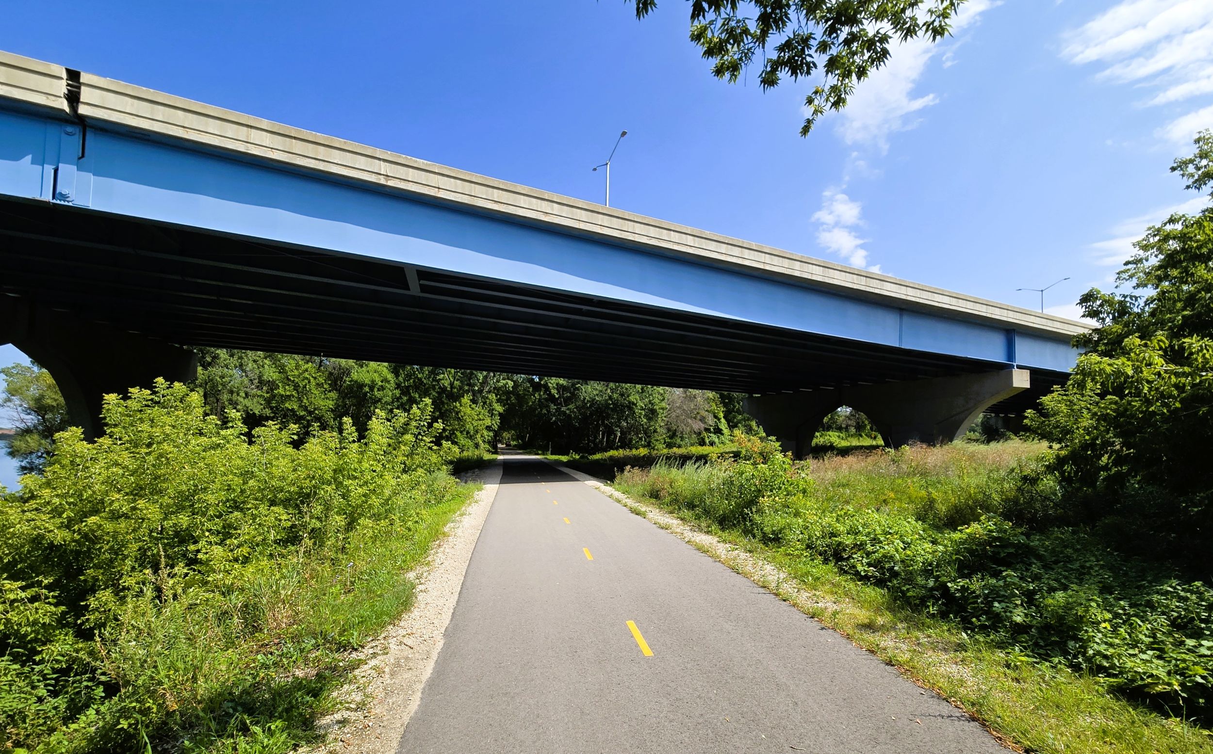
Just south of the Wisconsin State Highway 172 bridge, a spur trail leads off to the right (east) from the Fox River State Trail. On the north side of the bridge, another path goes to the right (east ). It meanders up the hill next to a ramp of Wisconsin State Highway 172 before reaching Webster Avenue and the entrance to Heritage Hill State Historical Park. A hidden gem, this 56-acre park contains over 20 restored historic buildings. Some of the structures include the Fort Howard guardhouse and hospital, Tank Cottage (the oldest house in Wisconsin), Cotton House, and a 1905 Belgian farmstead.
The Fox River State Trail continues north through the forested grounds of Heritage Hill State Historical Park. In this wooded section, a few historic buildings are seen to the right (east). A historical marker on the path shares the story of Wisconsin’s first courthouse. It was located near there in the defunct town of Menomineeville. The noted trial of Chief Oshkosh in 1830 occurred in this courthouse. The trial pitted traditional Native American justice against white man’s law. Judge James D. Doty’s decision favored Native American perspective.
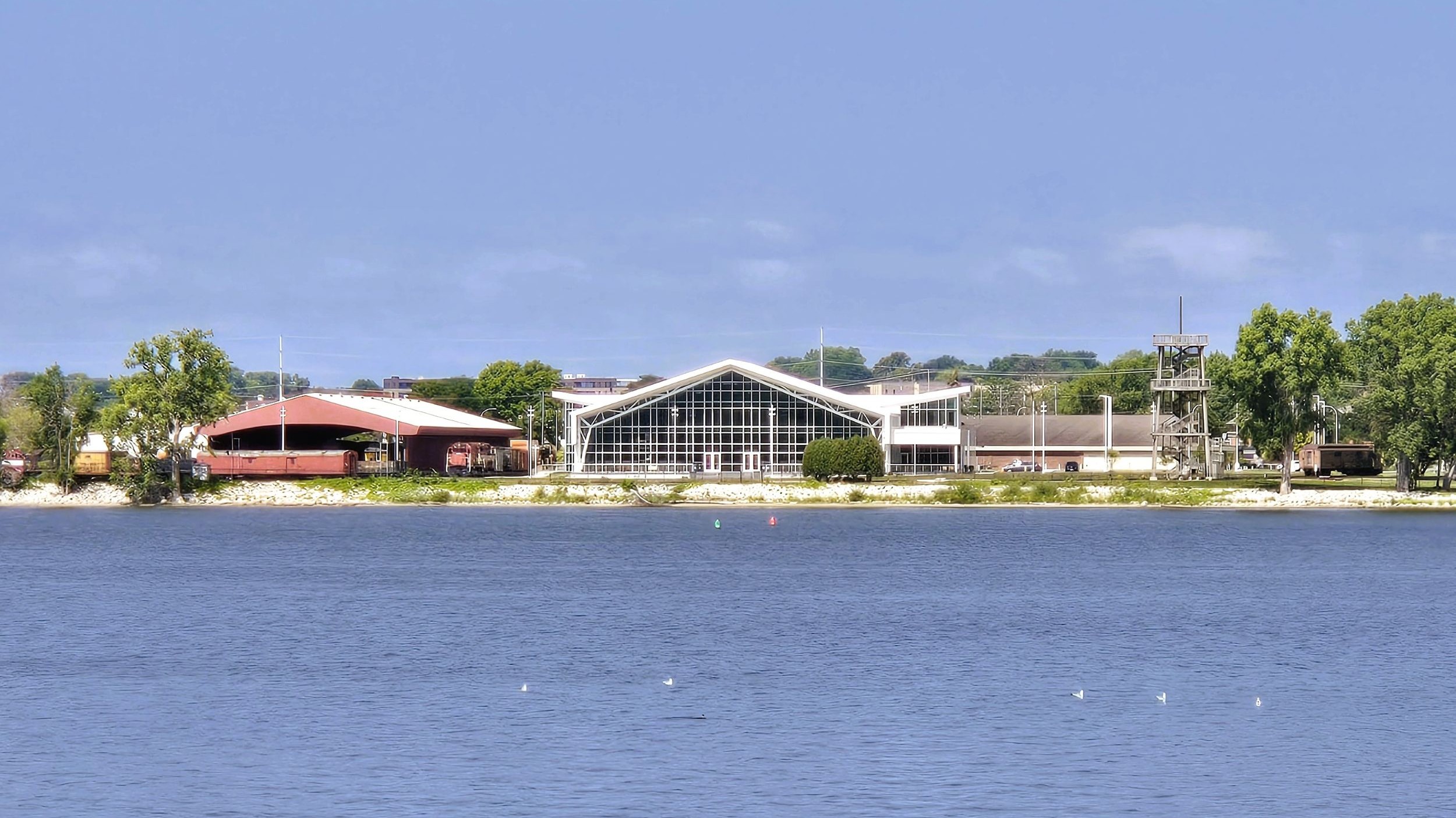
After passing through the lands of Heritage Hill State Historical Park, the Fox River State Trail crosses Lazarre Street. At the end of the road to the left (west) is Kayakers Point, a kayak and canoe launch site sponsored by the Allouez Optimist Club. Bicyclists who stop here enjoy a view of the river and buildings and lands of the National Railroad Museum on the west bank. The museum is one of the oldest institutions in the United States that is dedicated to preserving and interpreting the nation’s railroad history.
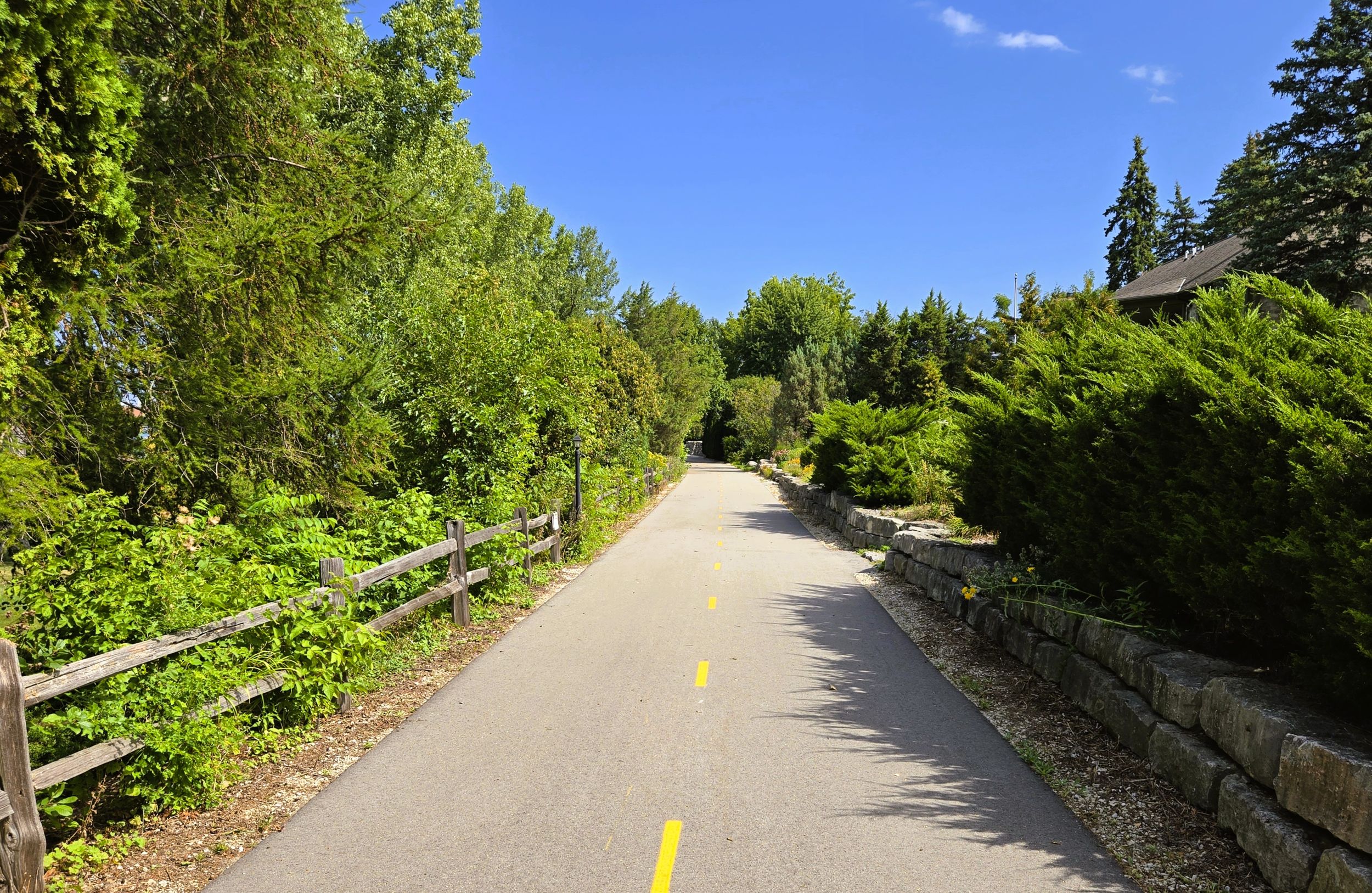
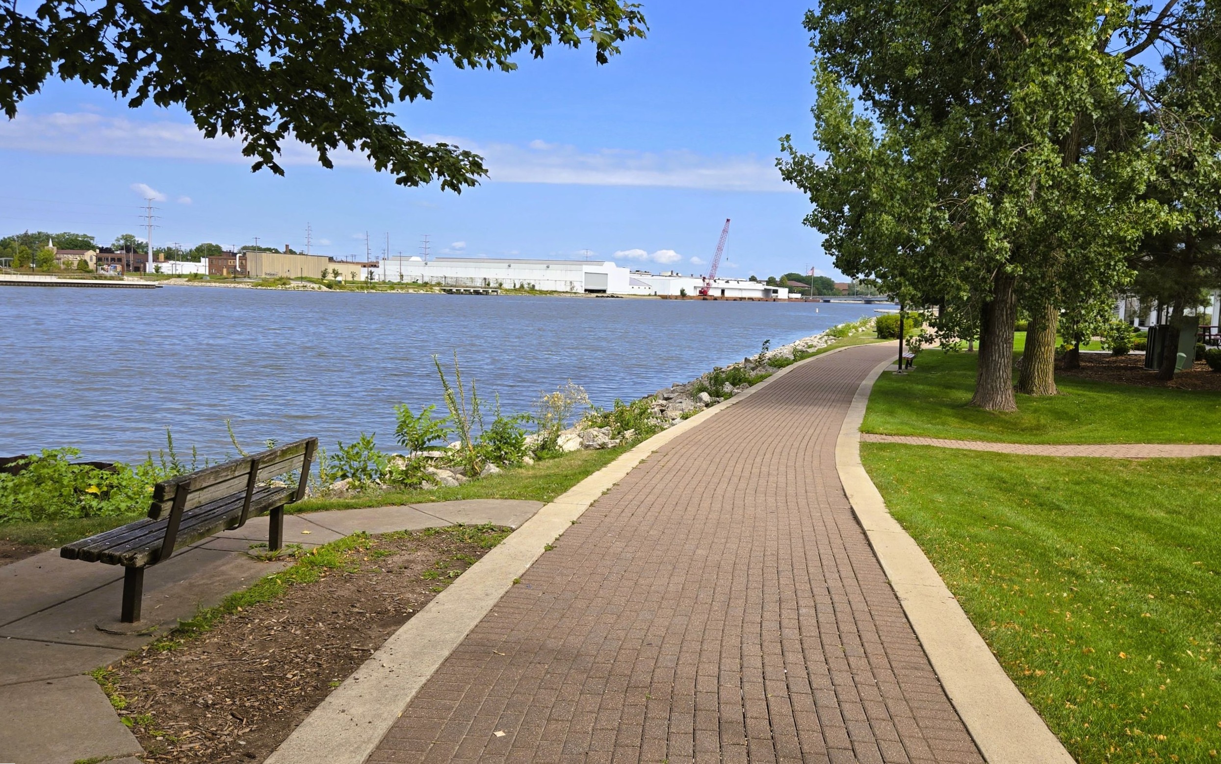
The Fox River State Trail continues north, cutting through the backyards of elaborate homes overlooking the river. Respect for homeowner privacy and property is expected in this section. No trespassing signs are posted along the trail. After a half mile, private residences give way to commercial businesses. For another half mile, the trail runs close to the river to the left (west), but businesses and parking lots are on the other side.
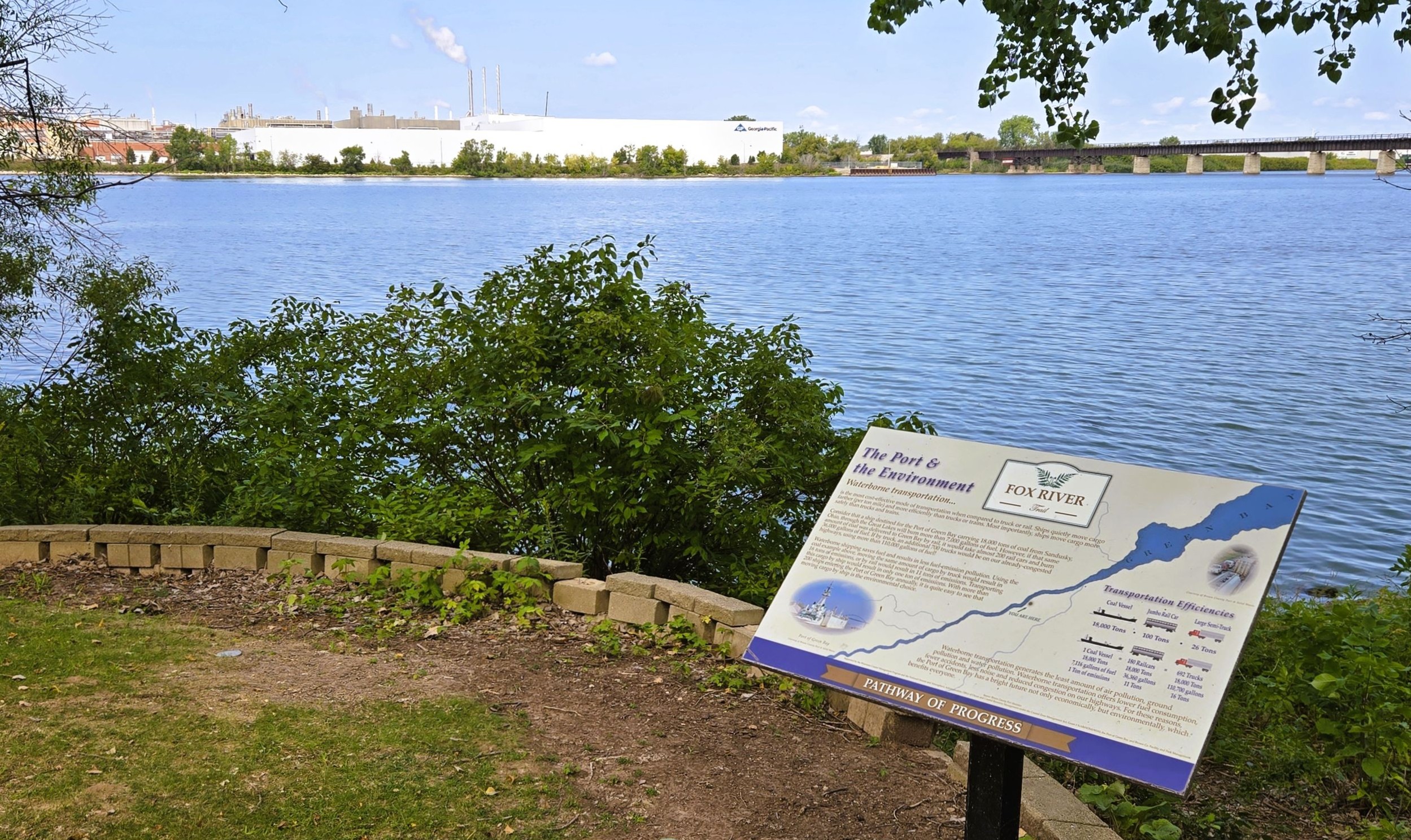
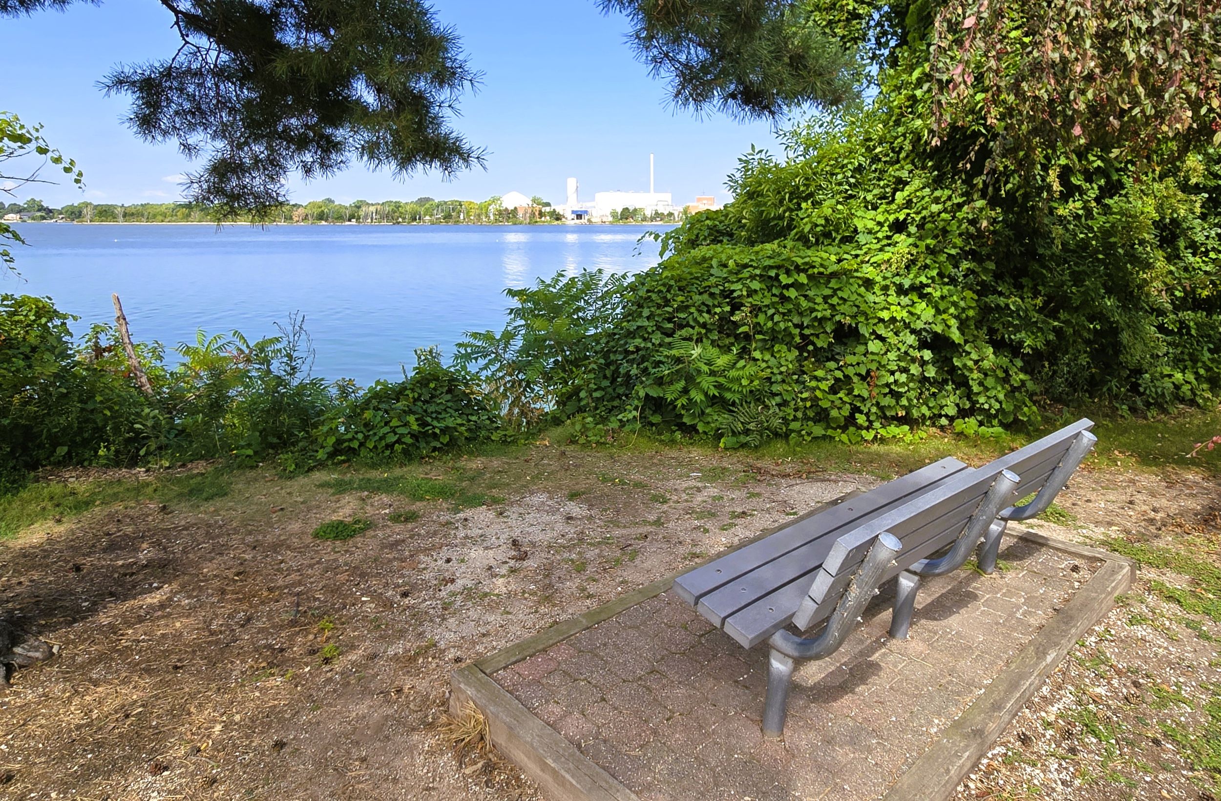
This trail section behind the Allouez businesses is a great place to pause and enjoy the river view at one of several park benches. There is also a self-service bicycle repair station. A fishing dock gives another amazing view of the river and the massive paper mill of Georgia-Pacific Corporation. Two historical markers is this place explain the history of “Shantytown.” This community began there in the early 1820s, and was one of the first American settlements in Wisconsin. Another Green Bay Packers historical marker is located there too.
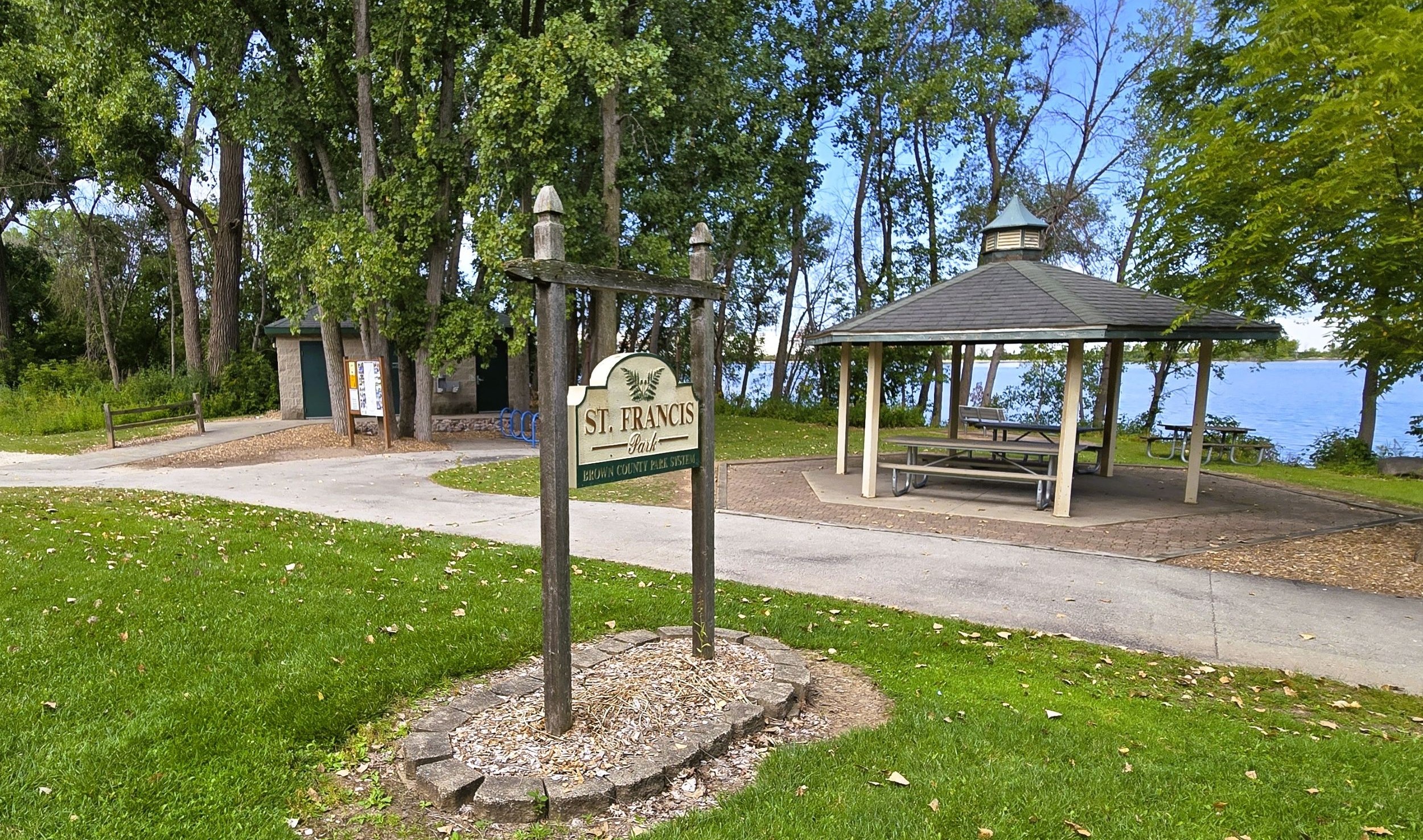
After leaving the “Shantytown” rest area, the Fox River State Trail advances 0.3 mile to St. Francis Park. A gravel path runs next to the main trail for the same distance. St. Francis Park is managed by the Brown County Parks Department and is designed for trail-users. There is no vehicle parking lot, but onsite amenities include restrooms, drinking water, picnic tables, park benches, an information kiosk, and outdoor athletic course.
A short distance north of the park, the Fox River State Trail passes under a railroad bridge. Along the way are two historical markers. One describes the development of Green Bay’s port, but the other one conveys a tragic tale. It details the story of Dr. William Edward Minahan. He was on the ill-fated Titanic when it hit an iceberg and sank in 1912. His wife and daughter survived, but he perished and is buried in a crypt in Woodlawn Cemetery. The crypt sits on a high bank overlooking the river, and is seen from the trail to the right (east).
After traveling 0.3 mile north of the railroad bridge, the Fox River State Trail leaves Allouez and enters Green Bay. From Marine Street, the path proceeds another 0.7 mile next to the Fox River to Porlier Pier, at the corner of Porlier and Adams Street. There are more historical markers thoughout this section, including one at Hazelwood. This 1837 historic home is operated by the Brown County Historical Society. It was the home of Morgan and Elizabeth Martin, a distinguished couple in early Wisconsin. Morgan served as the president of the second constitutional convention that drafted the Constitution of Wisconsin in 1847–1848.
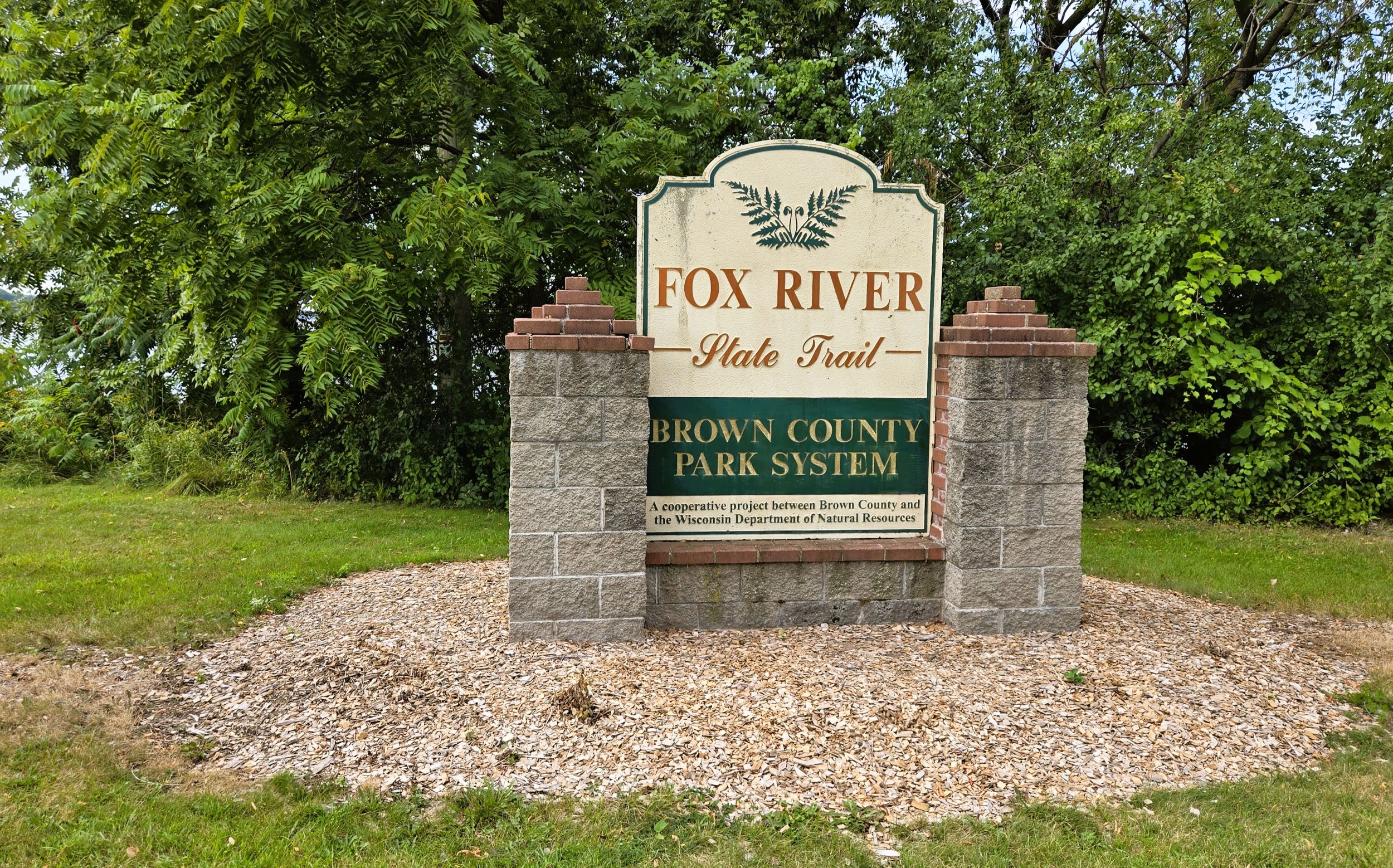
At the corner of Adams and Porlier Streets, the state-sponsored portion of the Fox River State Trail officially ends. Street parking is available on Adams Street. Park benches, an information kiosk, self-service registration station, and self-service bicycle repair station are next to the large trail sign. It is 4.5 miles from Voyageur Park to the trailhead.
The trail continues north to downtown Green Bay for another 1.5 miles. After 0.3 mile, it goes under the Mason Street Bridge. This area of Green Bay is also historic. A nearby plaque marks the site of an old French church and cemetery. The 18th-century French-Canadian fur trader, Charles Michel de Langlade, lived in this vicinity. He is considered to be the first European settler in Green Bay, and has been called the “Father of Wisconsin.” De Langlade’s offsping, the Grignons, lived here during the 19th century at an estate called Point Pleasant.
A short distance further north in Admiral Flatley Park, trail-goers may also want to read the marker explaining the history of picturesque “The Milwaukee Road” depot. It was built in 1898 and was the only depot on the city’s east side. The building is an example of Flemish Renaissance Revival architecture. Today it is a private business. Admiral Flatley Park honors the World War II aviator and tactician, James Henry Flatley Jr. He born in Green Bay and graduated from St. Norbert College before attending the U.S. Naval Academy.
The path narrows as it moves north toward downtown Green Bay. The trail passes through a small sculture garden on its way to Walnut Street. Pedestrians use this portion of trail frequently, so cyclists should proceed slowly and with caution. A self-service bicyle repair station is located by St. Brendan’s Inn. As it approaches Walnut Street and the downtown district, the trail passes by apartments, condominiums, and commercial businesses.
Next, the trail passes under the Walnut Street Bridge, also called the Bart Starr Memorial Bridge. North of the bridge, the Fox River State Trail traverses downtown Green Bay’s planked city deck. The deck is busy on weekends and evenings during warm weather months. Cyclists should be especially mindful of crowds and pedestrian traffic.
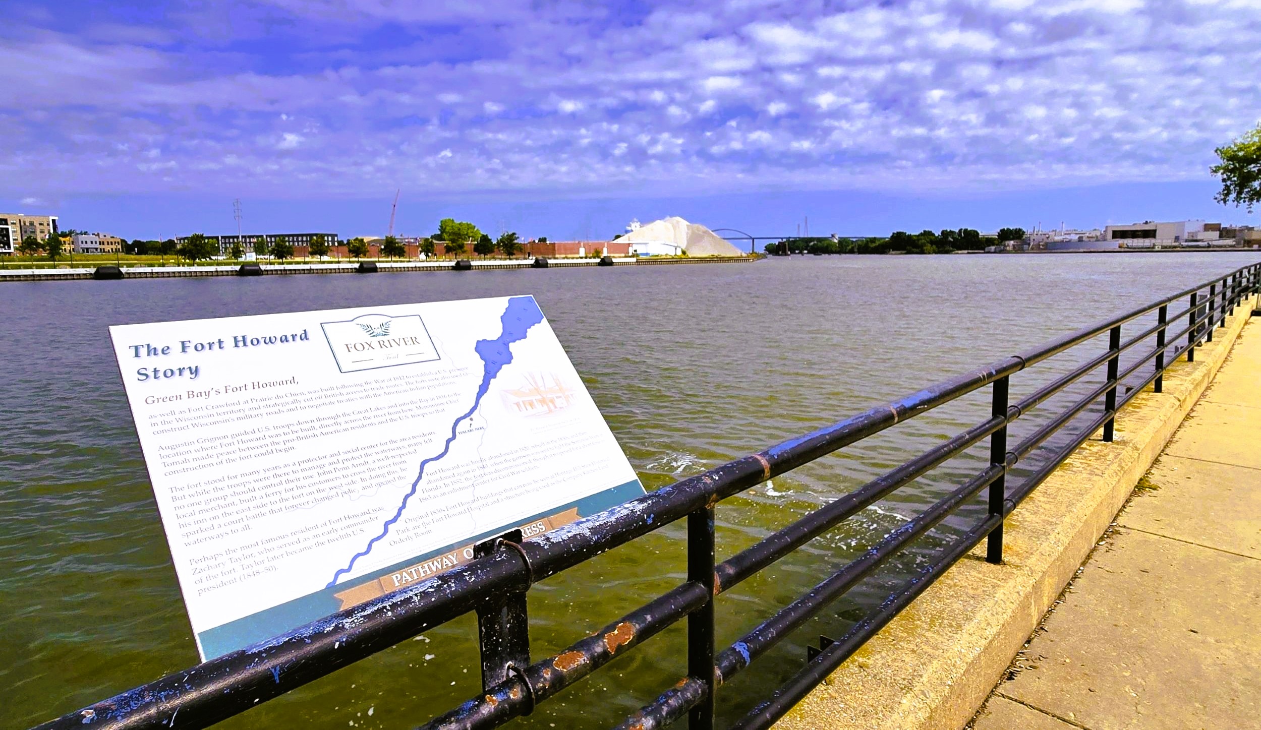
The Fox River broadens out north of the Main Street Bridge, also called the Ray Nitschke Bridge. A historical marker there tells the story of Fort Howard. This fort’s original site was on the opposite side of the river in what is now Leicht Memorial Park. It housed an American military presence from 1816 to 1852. Zachary Taylor, William Beaumont, and other famous Americans served there; and several of its buildings are restored at Heritage Hill State Historical Park. Two other historical markers are located by the trail in this section.
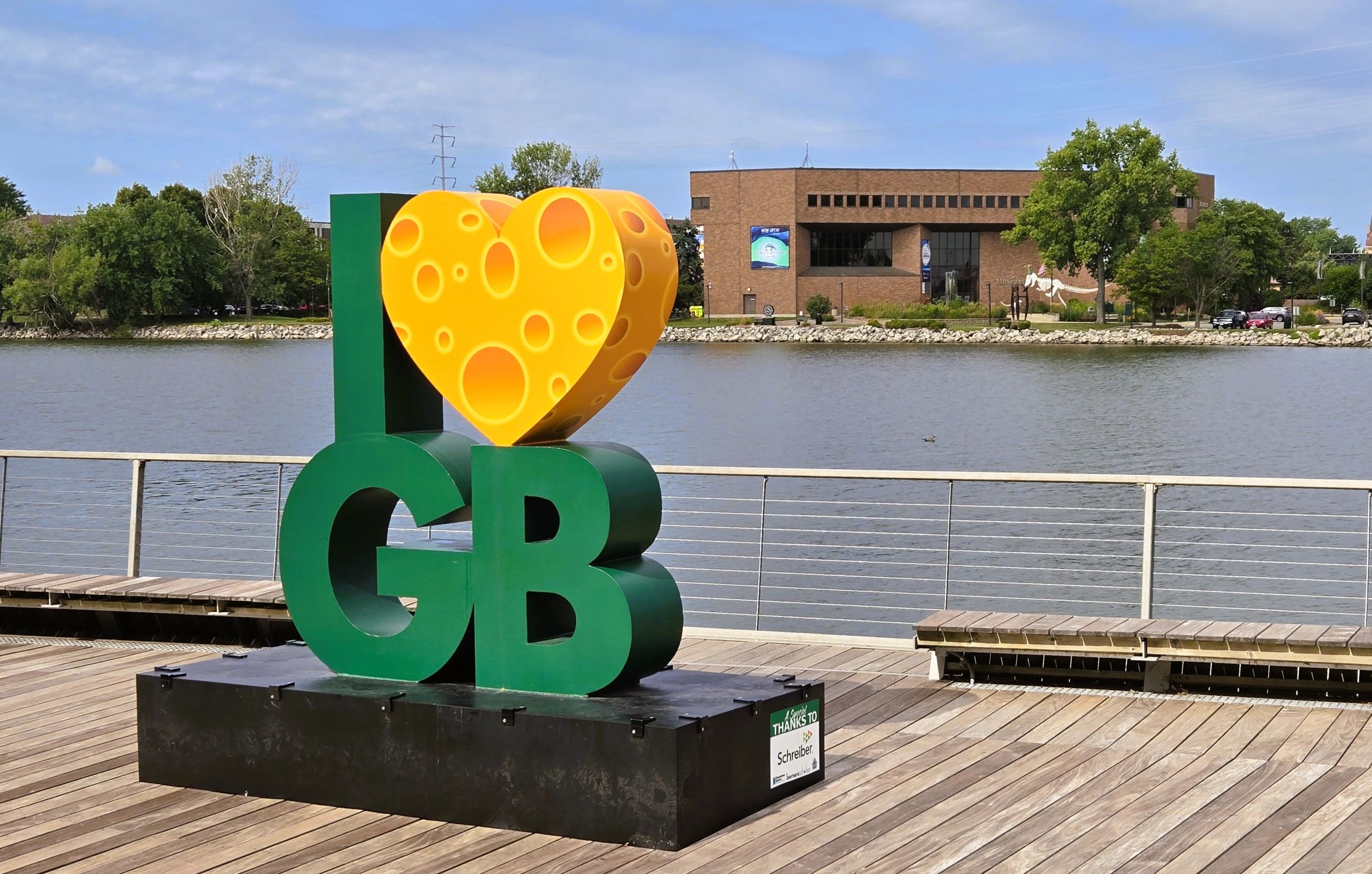
Microbrewery enthusiasts may want to bike west across the Main Street Bridge to tarry at Titletown Brewing Company & Sky Lounge. Adjacent to the brewery is the Neville Public Museum. This accredited institution has a remarkable collection of artifacts, artwork, archaeological objects, and media. It is worth taking the time to tour its various exhibits.
The downtown entertainment district ends after crossing under Main Street. The trail passes by a Hampton Inn that is attached to Green Bay’s KI Convention Center. The landscape changes to scenes of heavy industry. Bicyclists see the vast port of Green Bay from the trail. Its large piles of stone and coal hug the west side of the river, and a Procter & Gamble mill sits at the confluence of the Fox and East Rivers. At this confluence, the Fox River State Trail ends, but the path continues as the East River Trail.
Parking at the trail’s northern terminus is is limited. A vacant parking lot is located on Elm Street north of the KI Convention Center. To reach it by car, take Elm Street east from Wisconsin State Highway 57 (N. Monroe Avenue) in downtown Green Bay. Trail-goers aay also want to arrrange for vehicle parking with the Hampton Inn on Main Street.
Many downtown Green Bay restaurants are eager to serve trail-goers and are adjacent to the path. Fox Harbor Pub and Grill serves pub food and drinks in a historic building. Nearby is St. Brendan’s Inn. It’s a longtime Green Bay favorite, featuring an Irish pub and inn. Captain’s Walk Winery offers wine tastings and sales in a historic Italianate building.
Al’s Hamburgers gives visitors an authentic diner experience. Hagemeister Park is a popular restaurant by the city deck. It is named for the first playing field of the Green Bay Packers. The Creamery serves specialty brunch dishes and unique lattes. Rise & Grind Gelato & Coffee Shop sells a variety of crafted espresso and latte drinks and authentic gelato.
It is six miles on the Fox River State Trail from Voyageur Park in De Pere to downtown Green Bay. Biking on this section of the trail is enjoyable, but requires exercising appropriate trail etiquette for the safety of all. This includes traveling at slow speeds, frequently yielding to pedestrians, and announcing one’s presence when passing walkers. Bicyclists should obey all posted rules signs and not exceed 15 miles per hour on the path.
Map of trailheads and addresses along this section of the trail.
Despite heavy traffic on weekends, this section of the Fox River State Trail offers an extremely scenic and pleasurable ride. The path’s surface is in excellent condition and there are ample rest areas along the route. With its many trailside interpretive markers and picturesque vistas, there are plenty of opportunities to absorb the area’s history and beauty.
Trail last ridden and documented in August, 2026.