Omaha Trail
The 12-mile Omaha Trail travels north through Juneau County from Elroy to Camp Douglas. The route has outstanding scenery, passing through the Driftless Area of west central Wisconsin. It meanders through low creek valleys, climbs and descends sandstone ridges, and cuts across flat farmland. Dramatic stone formations rise up 200 feet on buttes, mesas, and conical pinnacles. Rocky outcroppings emerge by the trail amidst lush forests. Prominences include Lookout Tower, Castle Rock, and Twin Bluffs.
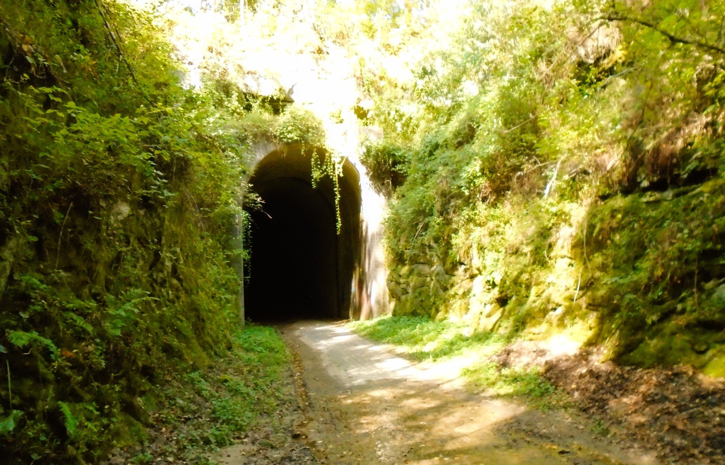
The Omaha Trail follows the former route of the Chicago, St. Paul, Minneapolis, and Omaha Railway (known as the “Omaha Road”). The line traveled through an 875-foot tunnel through Steep Hill. Sources state that the tunnel was built between in 1871 or 1876. The tunnel was likely built by the West Wisconsin Railway, a predecessor of the Omaha Road. In 1880, the Chicago and North Western Railway acquired the line. From 1910 to 1947, a watchman opened the tunnel doors when trains were scheduled to pass through. The doors were closed in winter to prevent massive ice formations from blocking the passage and causing delays.
In 1987, railroad operations ended and the line was abandoned. As part of the Rails-to-Trails program, plans were made to transform the old rail line into a recreational trail. The path was named for the Omaha Road railroad company, and opened to the public in 1992. The Omaha Trail is managed by Juneau County Land, Forestry, and Parks Department.
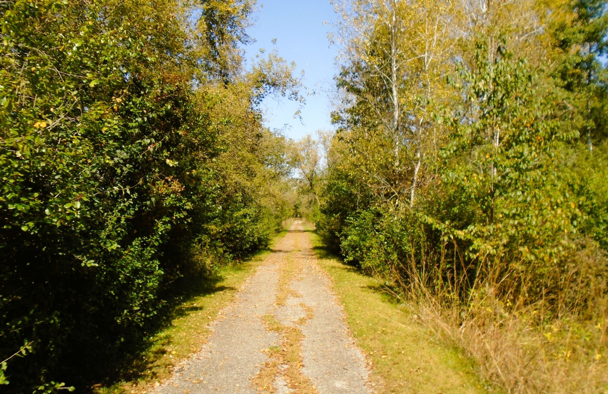
The surface of the Omaha Trail is an oil-based asphalt emulsion, in fair condition with some cracks and holes occurring throughout the route. Forest debris may be found on the trail, especially after periods of stormy weather. Cyclists ascend nearly 200 feet in the first part of the ride. The second half, from Omaha-Hustler Tunnel to Camp Douglas, is mostly downhill. A trailside rest area is at the north side of the tunnel. It has pit toilets, drinking water from a pump well, garbage can, picnic tables, and self-service bicycle repair station.
In Elroy, the Omaha Trail begins at N. Limits Road and 2nd Main Street. Cyclists access the path from Elroy Commons and the “400” State Trail by biking north on city streets for one mile. Elroy Commons best serves as trailhead. From there, cyclists may connect to a network of other trails. A 100-mile trail system spans Reedsburg to Trempealeau on six trails. The Elroy-Sparta State Trail, “400” State Trail, and Omaha Trail all converge in Elroy.
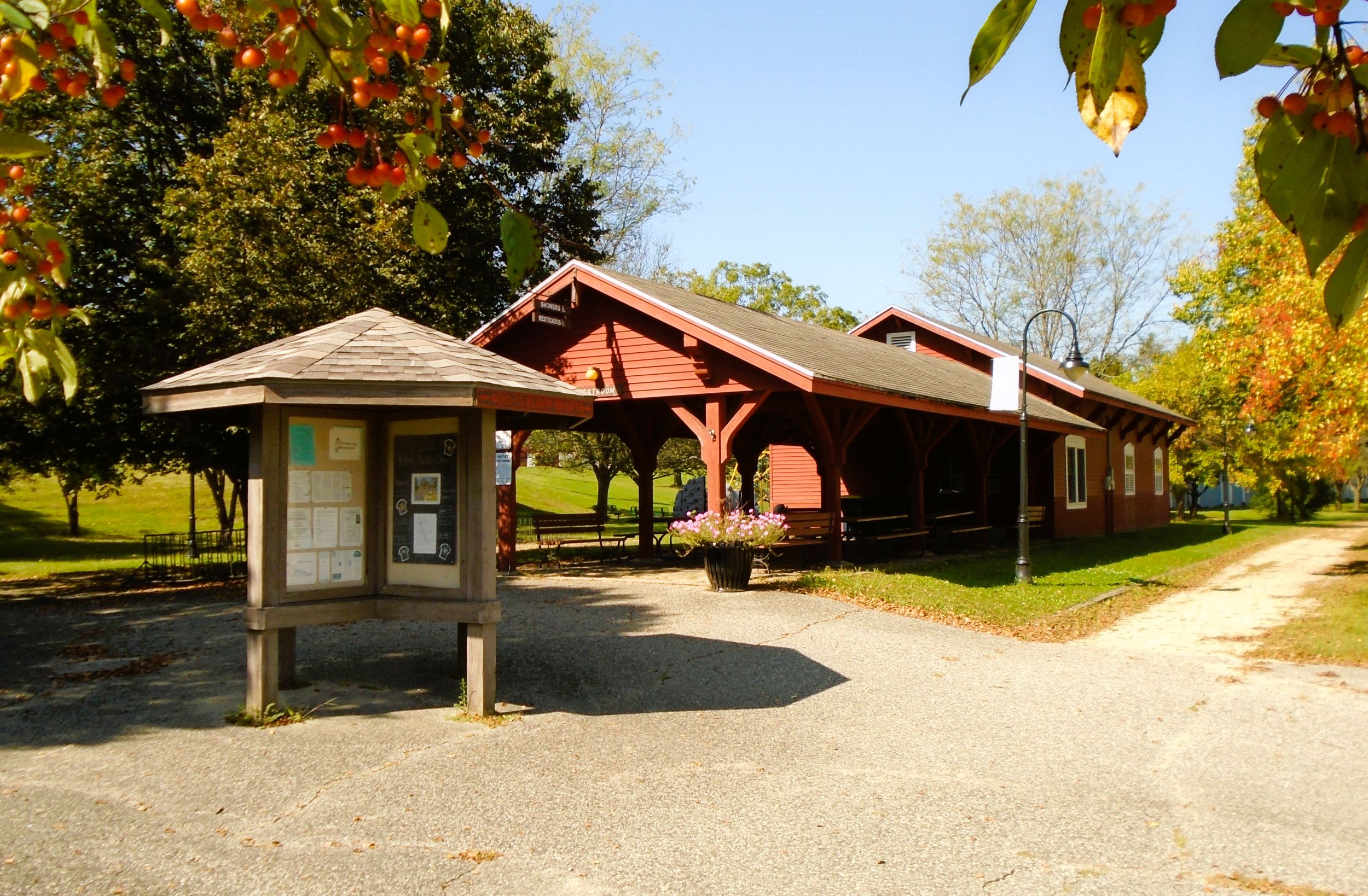
Elroy Commons is at 303 Railroad Street. To reach it by car, turn east into the parking lot from Wisconsin State Highways 80-82. Elroy Commons is well-outfitted with a parking lot, public showers, flush toilets, water bottle filling station, self-service bicycle repair station, covered picnic shelter, playground, and bike shop. The Elroy Commons Trail Shop sells trail passes and thoughtful bicycle supplies. It also repairs bicycles and rents them to the public.
Incorporated in 1858, Elroy is the city “Where the Trails Meet.” In its early days, Elroy was a railroad town. The Baraboo Air Line Railroad came in the 1870s. The line was later acquired by the Chicago and North Western Railway. The Chicago, St. Paul, Minneapolis, and Omaha Railway also traveled through Elroy. Both companies maintained roundhouses and other operations there. Elroy is also the home of former Wisconsin governor Tommy Thompson.
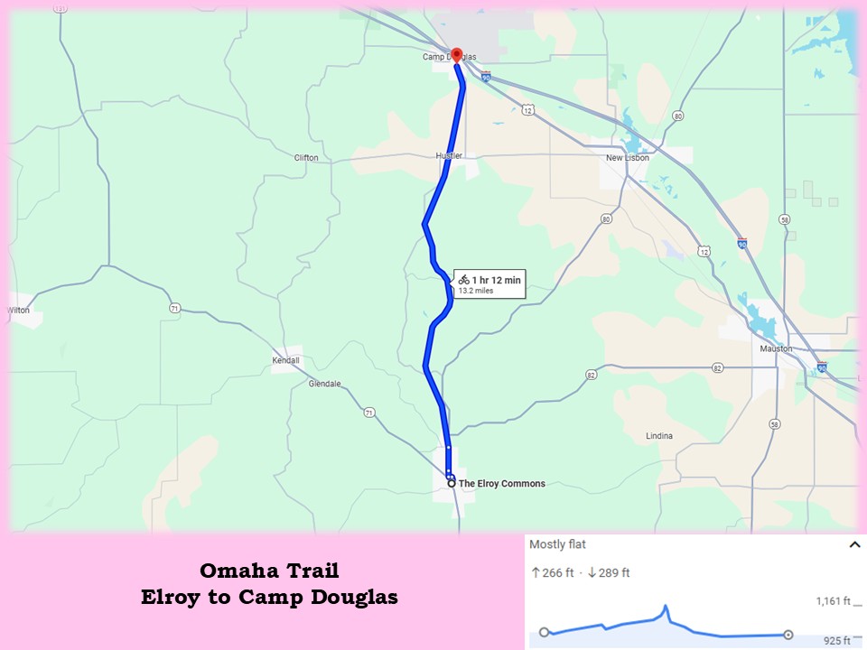
Returning to the Omaha Trail, the route goes north for 0.3 mile from Elroy Commons to Cedar Street on the “400” State Trail. It turns left (west) on Cedar Street and follows a bike lane for one block. The route turns right (north) on 2nd Main Street and goes 0.2 mile to a bridge over the Baraboo River. Trail signs mark the route. It continues north on 2nd Main Street for 0.7 mile. The Omaha Trail begins at 2nd Main Street and N. Limits Road.
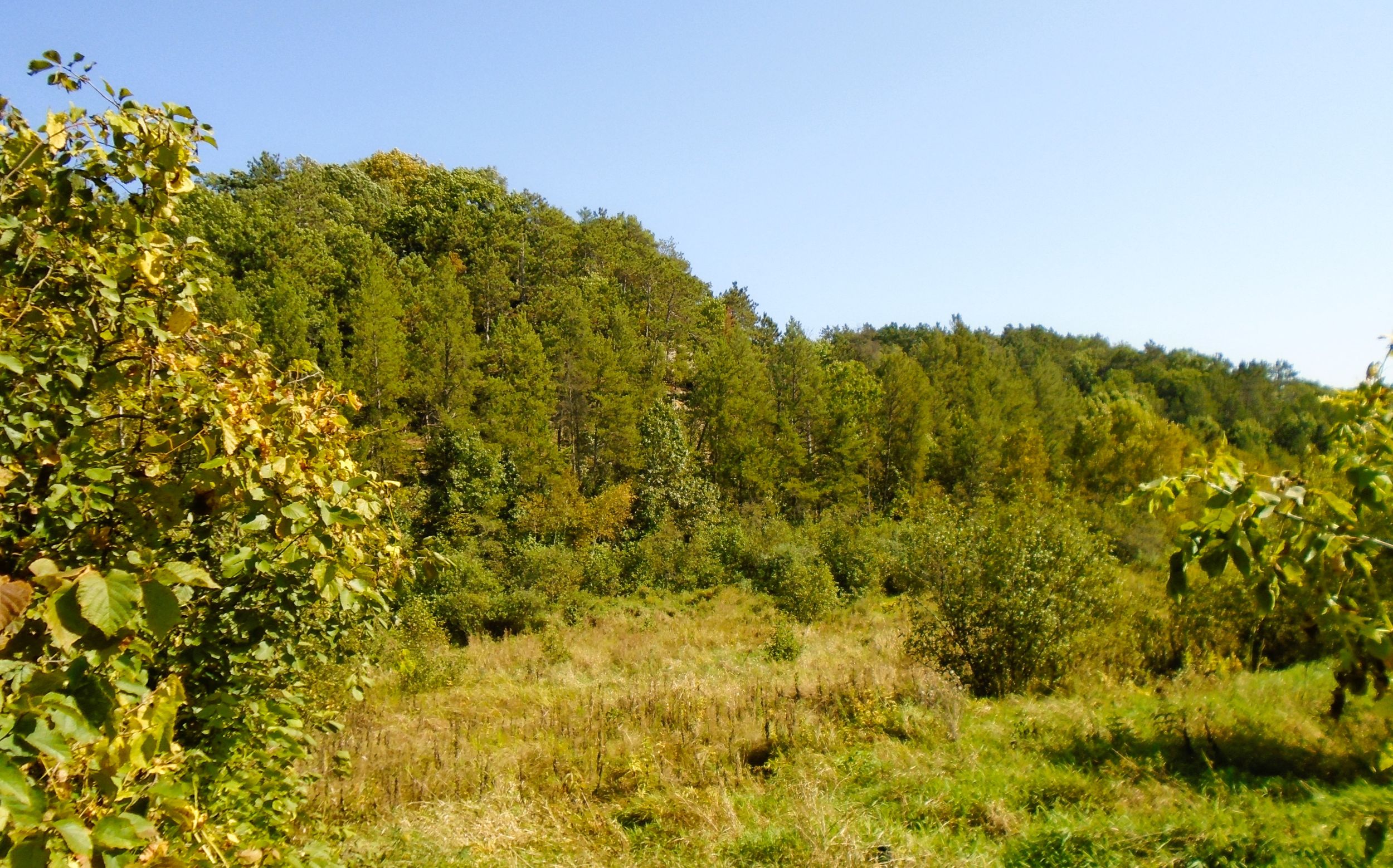
After 0.3 mile on the path, the Omaha Trail crosses Wisconsin State Highways 80-82. Caution should be used in traversing the highway. The trail next enters Sherman Valley, a delightfully scenic segment. The path parallels Sherman Creek, crossing it three times before reaching County Highway H. Sherman Valley’s marshes and farm fields surround the trail. Forest-lined bluffs enclose the valley to the west. Rolling farm fields are seen to the east.
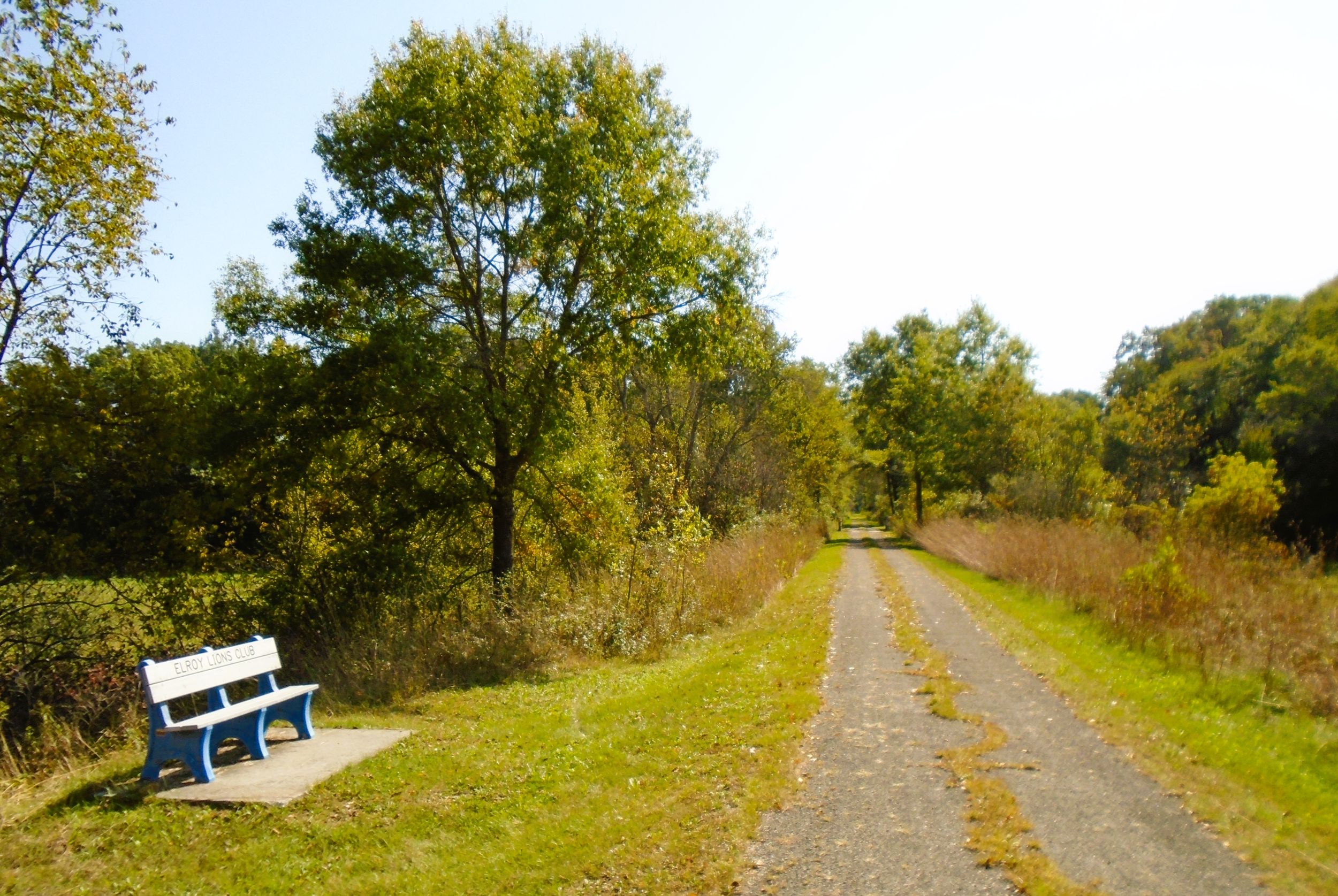
It is two miles from the state highway to County Highway H. In this distance, the trail crosses Tilmar Street and Jensen Road. It also passes under a wooden bridge carrying Hyer Road. Tunnel Hill Road begins at County Highway H. The country road parallels the Omaha Trail for 4.6 miles. It is often seen from the path, and crosses it three times. Tunnel Hill Road ends at another trail intersection with County Highway H.
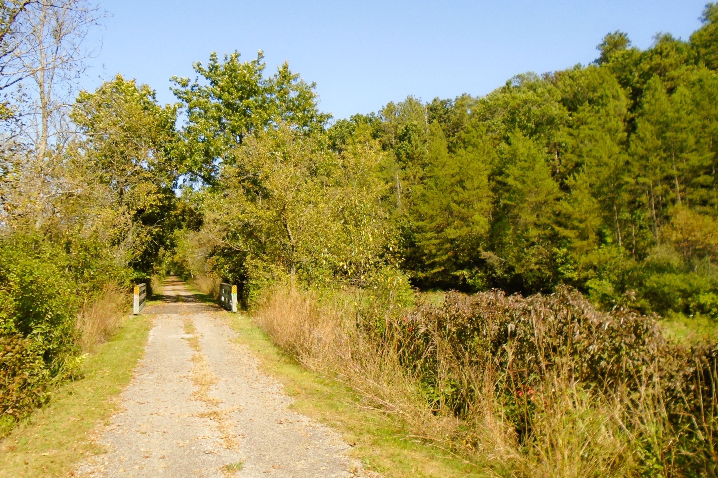
The Omaha Trail crosses Sherman Creek seven times over the next 1.5 miles. Many of the wooden trail bridges sit on original iron railroad girders. The structures date to 1912, and are deck or pony plate girder bridges. Sherman Creek begins at 0.36 Reservoir, which is nestled into a high bluff about 35 feet above and 1100 feet away from the Omaha Trail.
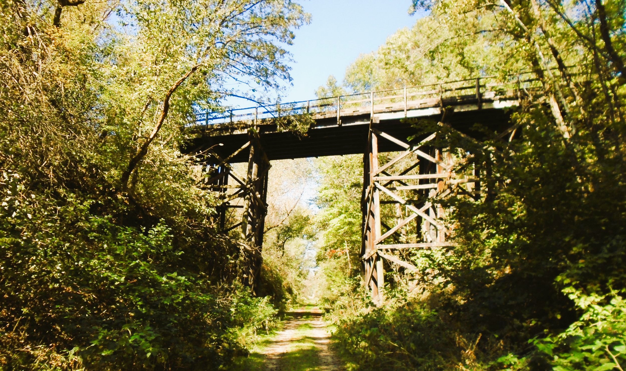
Over the three miles between County Highway H and the Omaha-Hustler Tunnel, the path gently climbs nearly 175 feet. Tunnel Hill Road continues to advance adjacent to the trail on the other side of a ravine. After crossing County Highway S, the road leaves the trail and travels over the ridge. The Omaha Trail continues through the narrowing ravine.
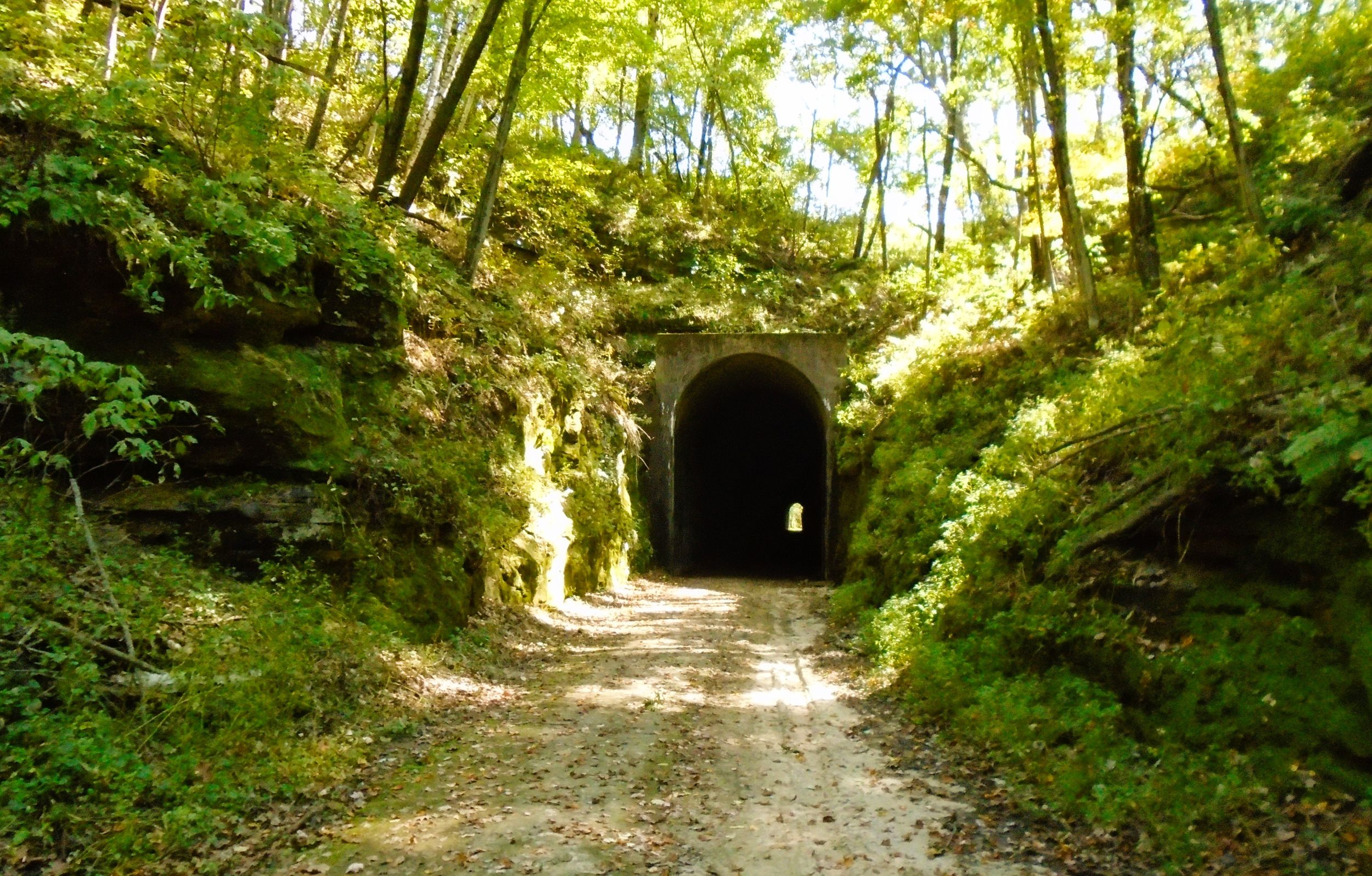
Around a slight bend, bikers are greeted by the sight of a tunnel entrance protruding from the side of Steep Hill. This tunnel sits at 1100 feet above sea level. Surrounding the two tunnel entrances are rocky outcroppings, covered with vegetation. Water from underground springs seeps through the rock face and often pools alongside the trail. The air is damp and cool here. It’s colder in the tunnel. A light jacket and flashlight come in handy. Caution is required to navigate the sandy washouts that fill the trail on both sides of the tunnel. Posted signs recommend walking bicycles through the dark, 875-foot tunnel.
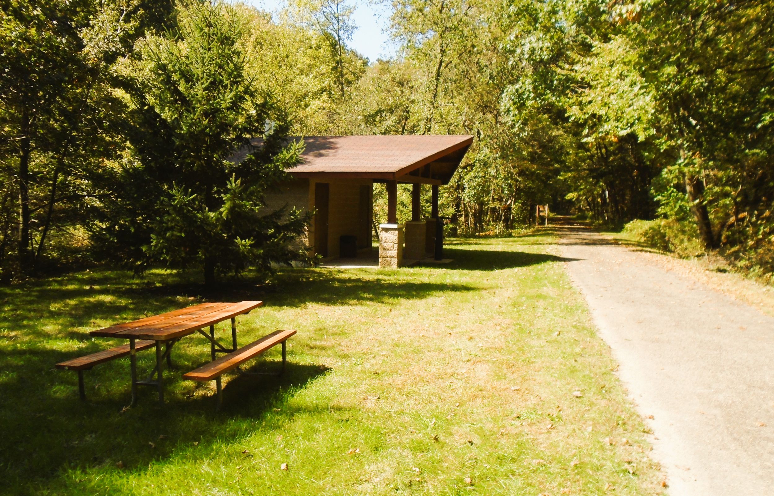
A grassy rest area awaits trail-goers on the north side of the tunnel. It has picnic tables, a hand pumped well, garbage can, pit toilet restrooms, and a self-service bicycle repair station. This is a relaxing place to enjoy the cool microclimate next to the tunnel and the beautiful landscape. West of the rest area sits a small pond. The pond is the start of a tributary of Fountain Creek. It flows north to join the Little Lemonweir River.
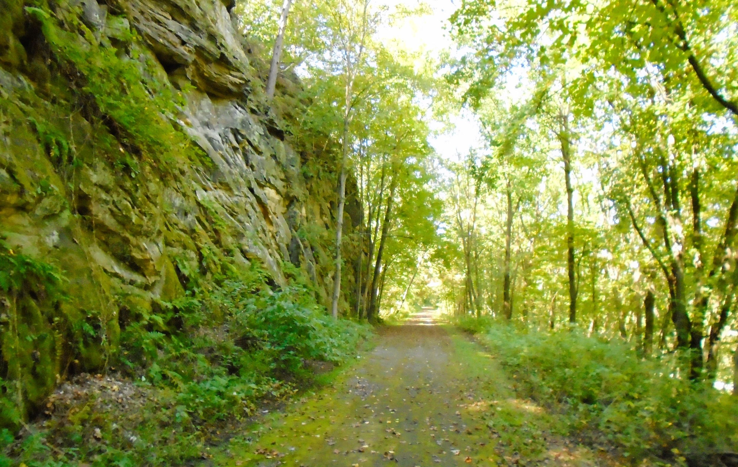
Departing the rest area, the Omaha Trail descends through a ravine created by this tributary. Cycling becomes easier, as the trail drops 150 feet over the next two miles to Olsen Road. For most of the descent, the path journeys next to a long ridge. This railroad route was cut into the side of the ridge, creating rocky cliffs to the left (west). The trail follows rocky outcroppings and spans occasional draws. To the right (east), the ridge drops to the bottom of the ravine where Tunnel Hill Road passes. Care should be taken here, as washouts may compromise the trail. A sign recommends not exceeding 10 miles per hour.
The Omaha Trail arrives near the bottom of the ridge after crossing County Highway H again, this time over a high bridge. This 54-foot long deck plate girder bridge was built in 1892, and has a stunning view of Little Lemonweir River Valley. The trail continues downhill, crosses the county highway once more, and moves through flat farmland to Olsen Road. The trail crosses Fountain Creek before intersecting the road. From the bridge, there is a great view of Fountain Creek valley and its surrounding bluffs.
It is 1.5 miles from Olsen Road to Hustler. Here the trail passes through low countryside of marshes and vast farm fields. In this section and throughout the rest of the Omaha Trail, a corridor of hardwood trees and thick bushes surrounds the path. The line of trees create some shade, in a terrain of open countryside. Distant ridges rise up from flat farmland.
It is 3.7 miles from the Steep Hill Tunnel to the community of Hustler. A park sits by the path there and may serve as trailhead. It has a playground, restrooms, and covered picnic shelter. Parking is available on Main Street (County Highway A). To reach Hustler from Interstate Highway 94, take exit 61 west on Wisconsin State Highway 80. In New Lisbon, continue west on County Highway A for 5.2 miles to Hustler.
Known for its unusual name, the post office opened in Hustler in 1891 and closed in 1985. Settlement began after the arrival of the Omaha Railroad in the 1870’s. The village was incorporated in 1913. Today, it has a restaurant, tavern, and bed and breakfast inn.
After Hustler, the trail continues north through farmland. After a half mile, it crosses Little Lemonweir Creek. The path moves closer to lofty ridges to the left (west). In this section, the Omaha Trail crosses Bell Road, Orange Mill Road, and circumvents yet another a tall ridge before arriving in Camp Douglas. Target Bluff is visible to the right (east). From Hustler it is 2.7 miles to Camp Douglas, where the Omaha Trail ends on Murray Street.
Camp Douglas was platted in 1870, and named for a lumber camp built by James Douglas. The camp supplied wood to the railroad for fueling its locomotives. Today, Camp Douglas is home to Volk Field Air National Guard Base and the Wisconsin Army National Guard’s Camp Williams. Mill Bluff State Park is a few miles north of the village. The park features tall sandstone bluffs and swimming, camping, hiking, and other recreational opportunities.
The Camp Douglas trailhead has a parking lot, picnic shelter, and pit toilet restrooms. To reach it from Interstate Highway 90-94, take exit 55 west onto County Highway C. Travel a short distance and turn right on U.S. Highway 12. Turn left on Castle Street, and left again on Douglas Street. Drive 0.1 mile, and turn right on N. Washington Street. The trailhead is at the intersection of Washington and Washburn Streets with Eddy Avenue.
There are several taverns and convenience stores in Camp Douglas. One of the best places to eat is Double Nickel Deli and Coffee. It’s located inside the BP Travel Center on U.S. Highway 12. In addition to delicious coffee drinks, Double Nickel Deli serves tasty hand-made panini sandwiches and wraps. Patrons may eat in or take meals to go.
The Omaha Trail is one of the best-kept bike trail secrets in Wisconsin. It rarely sees a lot of traffic, yet the scenery is spectacular. A Juneau County trail pass is required for cyclists aged 18 or older. Day passes are $3.00 per person, or $10.00 for a seasonal pass. They may be purchased at Elroy Commons, Hansen’s IGA grocery store in Elroy, Hustler Inn, or Camp Douglas Travel Mart. Pedestrian trail use is free. Horseback riding on the trail is prohibited.
Trail last ridden and documented in September, 2025.
Map of trailheads and addresses along this section of the trail.