Pheasant Branch Conservancy
Traveling through both Middleton and Springfield, the bike trail through Pheasant Branch Conservancy is a splendid route for cycling. It takes trail-goers through creek bottoms, wetlands, and open prairies. The conservancy lands are surrounded by urban development, but flora and fauna abound in this natural area. Deer and small animals are often spotted. Bald eagles, sandhill cranes, songbirds, and waterfowl are commonly seen also.
Many picturesque views are enjoyed from the trail, and interpretative markers share the area’s story. Benches and self-service bicycle repair stations are found at key locations. There are limited restrooms and drinking water, so trail-goers should plan accordingly.
City parks and other bike paths in Middleton offer cyclists options to extend their ride. The trails do see heavy traffic, even on weekdays. Given the number of pedestrians on the trail, cyclists should exercise caution, limit speed, and announce their presence when passing. There is no fee to use the trail in Pheasant Branch Conservancy or neighboring paths.
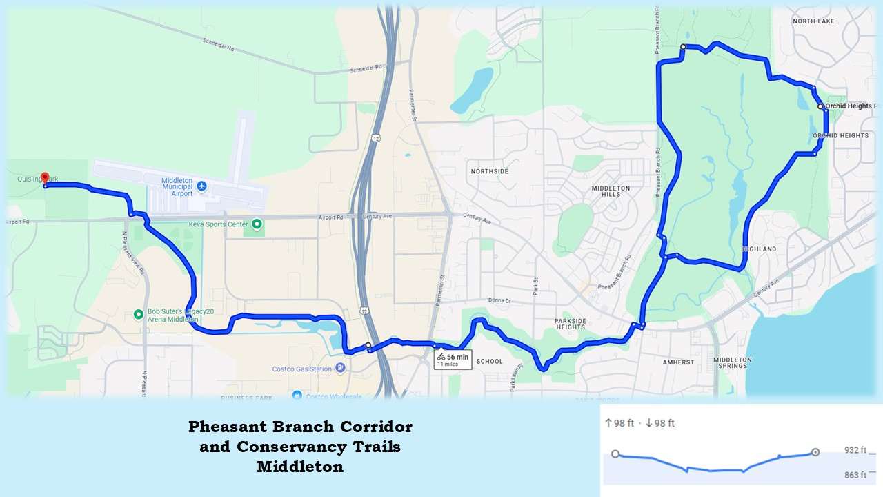
Bicyclists wanting to maximize their ride may begin at Middleton’s Ed Tallard Park. The park is on the north side of Airport Road, 1.4 miles west of U.S. Highway 12. It has a conservancy with walking path, portable toilet, and parking lot. Middleton’s North Fork Trail starts at the parking lot and goes east two miles before joining the Pheasant Branch Creek Corridor Trail.
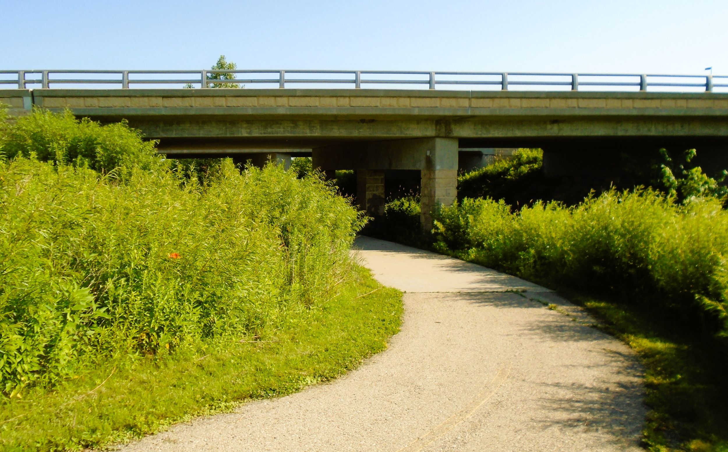
As the paved North Fork Trail heads east, it enters Penni Klein Park. This community park is home to soccer fields, a baseball field, dog park, and large parking lot. It’s a half mile ride from Ed Tallard Park, through Penni Klein Park, to an underpass under Airport Road.
North Fork Trail next heads southeast through Middleton Firefighters Memorial Park with its baseball diamonds, playground, and parking lot. The park is managed by a non-profit fire company. From the Airport Road underpass, the path journeys 0.6 mile through grassy wetlands to a junction in the trail with an information kiosk.
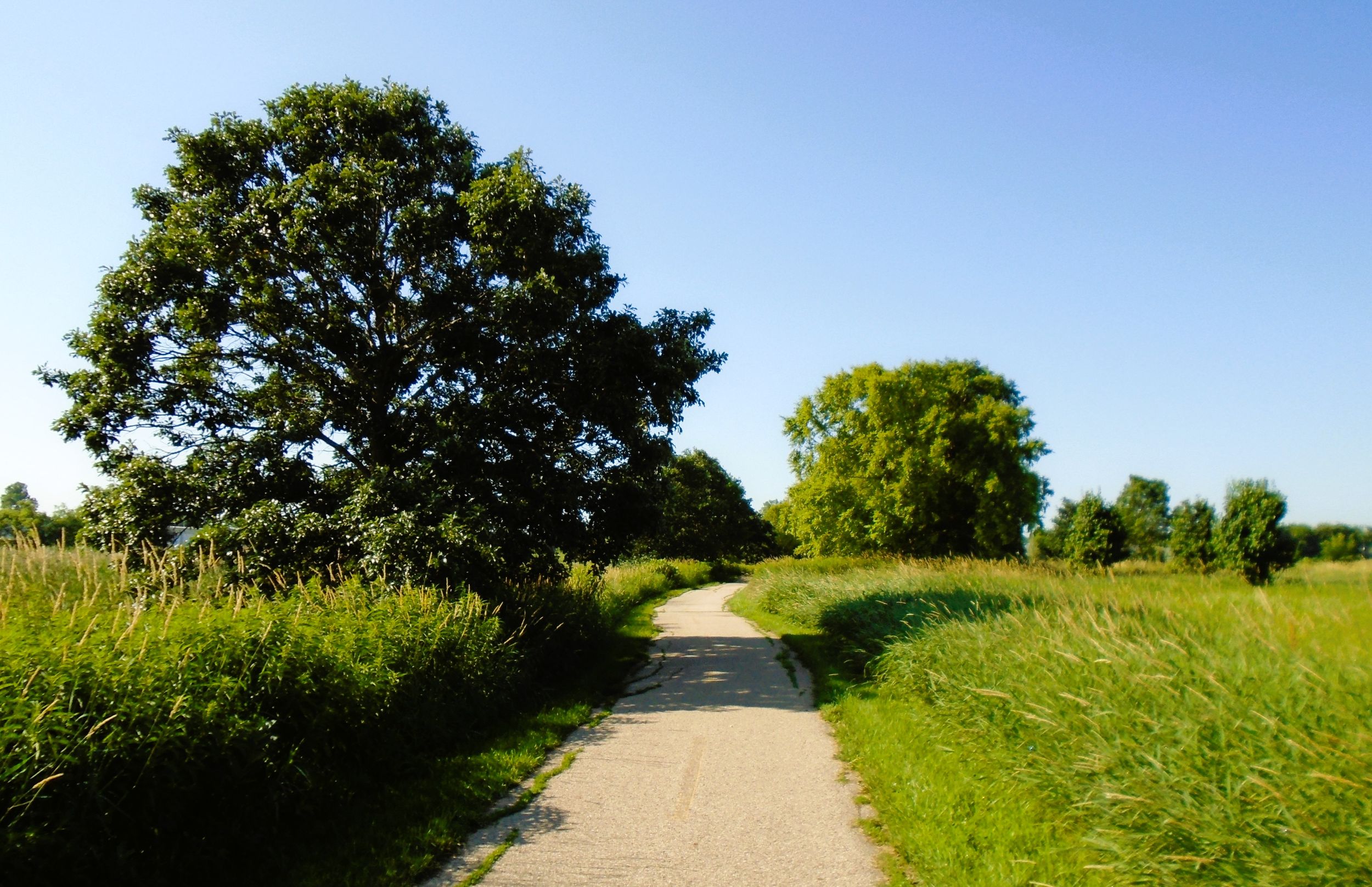
The kiosk reminds trail-goers that they are traveling next to Pheasant Branch Creek, which had its meandering course restored along with surrounding native vegetation. Before the 1840s, this watershed was a huge marsh, home to animals including elk and bison. The people of the Ho-Chunk Nation lived here until their removal in the 1830s. White American settlers converted the marshes into farmland, and later into industrial spaces.
North Folk Trail turns left (east) and passes by businesses and aside Pheasant Branch. The creek runs through a confluence pond filled with grasses and lily pads. Where the trail turns south, a small shack offers views of the pond and waterfowl. The trail passes under Deming Way, adjacent to Pheasant Branch. The U.S. Highway 12 Trail joins the North Fork Trail from the left (north). This path runs north next to its namesake highway for several miles.

North Fork Trail turns right (south) and crosses Pheasant Branch. Immediately, it meets the Pheasant Branch Creek Corridor Trail. Maps are posted at all trail intersections, and a self-service bicycle repair station is located at this one. Turning right (west) leads to the end of the path after 0.7 mile. Going left (east) takes trail-goers 0.3 mile under both U.S. Highway 12 and Parmenter Steet. From there, Pheasant Branch Creek Corridor Trail gently descends into the creek’s picturesque valley. Two spur trails give access to Parmenter Street.
While the North Fork Trail surface is bumpy, the paved surface of Pheasant Branch Creek Corridor Trail is in excellent condition. In summer of 2018, heavy rains and flooding damaged much of the path. The creek’s high sandy banks eroded, and trail bridges and pavement were washed out. New bridges have been installed, and the trail restored.
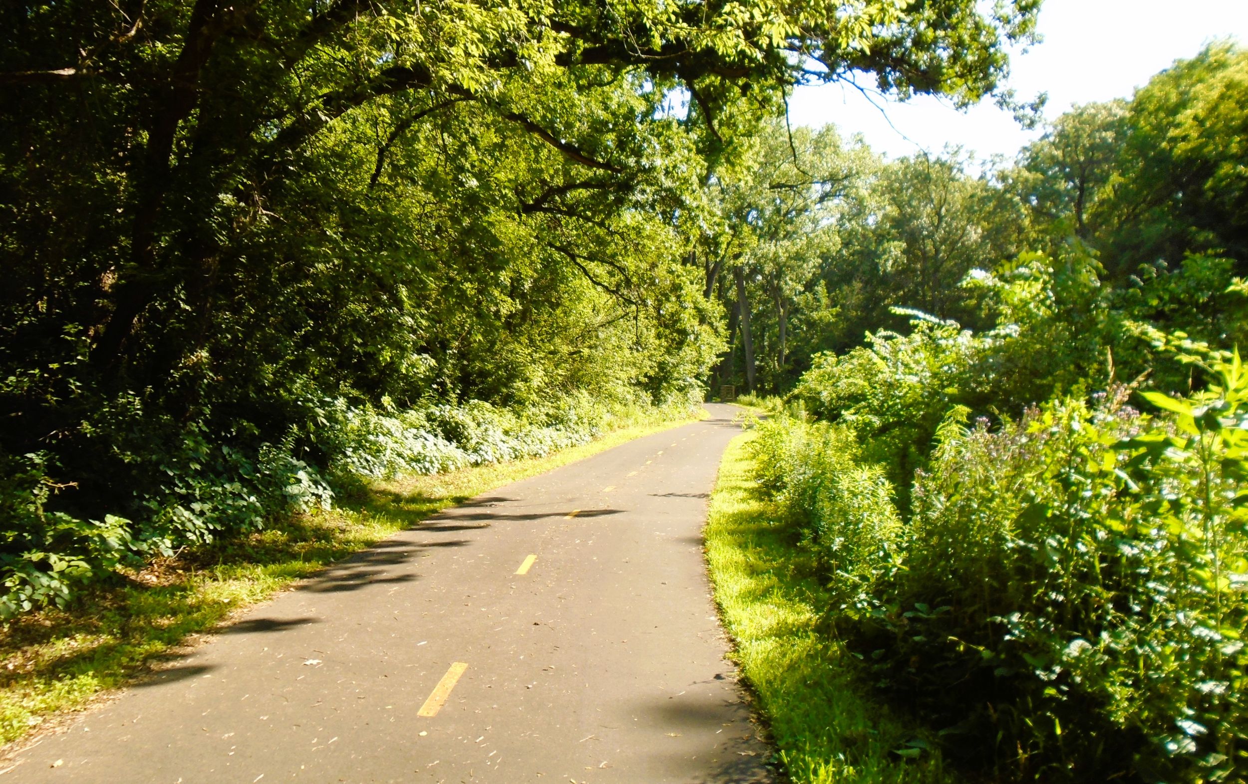
Over the next 1.2 miles, Pheasant Branch Corridor Creek Trail travels through a remarkable wooded landscape. The creek banks rise 30 feet, creating an attractive, secluded valley. The path crosses the winding creek at least a dozen times in this section. At each bridge, a separate paved path leads down to the edge of the babbling brook. Benches beckon trail-goers to pause and enjoy the dale’s scenic beauty. It’s hard to believe the trail is in a city.
Halfway through this section, Pheasant Branch Corridor Trail crosses Park Street. Trail-goers are advised to use the flashing crossing lights there. Yellow center lines on the path’s surface also offer safety. Cyclists should ride on the right side of the path, and pass on the left. In this 1.2 mile section, the trail elevation drops about 25 feet.
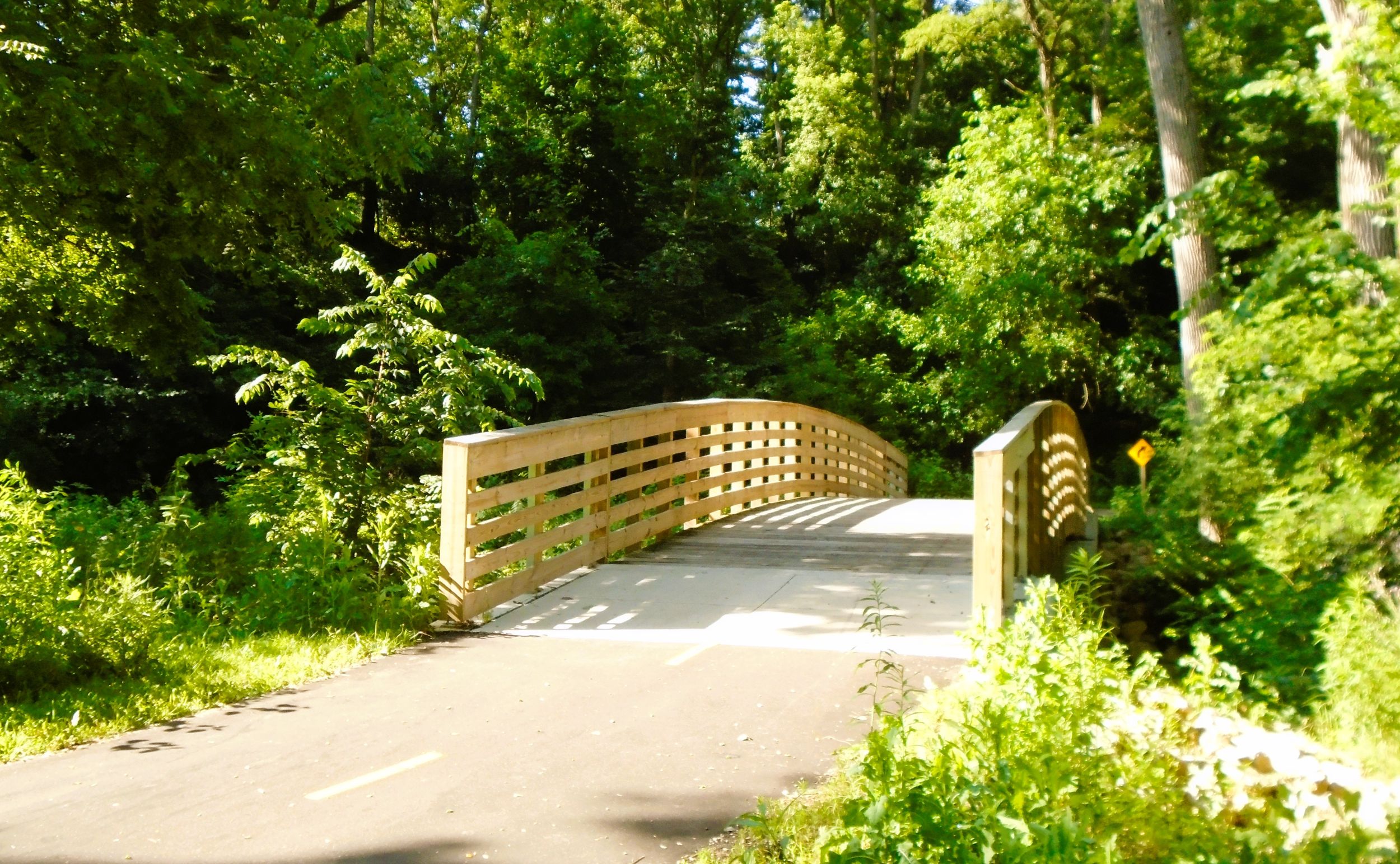
The Pheasant Branch Corridor Creek Trail ends at County Highway M (Century Avenue). At that intersection, the route turns right (east), and travels 200 feet next to the road over Pheasant Branch. A stoplight with crosswalk provides safe passage across the busy road to the left (north) and into Pheasant Branch Conservancy.
Going left (west) from the end of Pheasant Branch Corridor Creek Trail on Century Avenue leads to the historic Stamm House. This restaurant is housed in an old store built in 1847. By 1852, it had become a hotel named “The Pheasant Branch Hotel.” In 1910, it became a dance hall. After 1925, the building was bought by Heine Fuller, who associated it with the German word “stammtisch” (meaning regulars’ table). Since then, it has operated as a supper club, offering innovative American fare and cocktails.
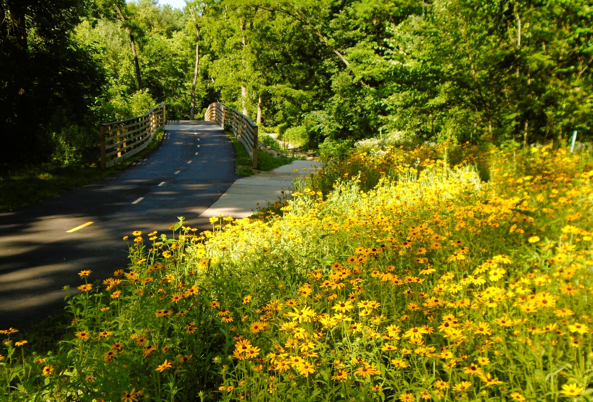
At the entrance of Pheasant Branch Conservancy is a self-service bicycle repair station. An interpretive kiosk there provides interesting insights into the area’s water ecology and human history, as well as restorive measures of the conservancy’s friends group.
The surface of the 3.5 mile circular trail in Pheasant Creek Conservancy is crushed stone. The trail is narrow. In low areas, it travels on wooden boardwalks. Several spur trails lead off to neighborhoods. There are also hiking trails. Bicycles are not permitted on them. At these trailheads, cyclists may lock their bikes to racks before venturing off on a walking path.
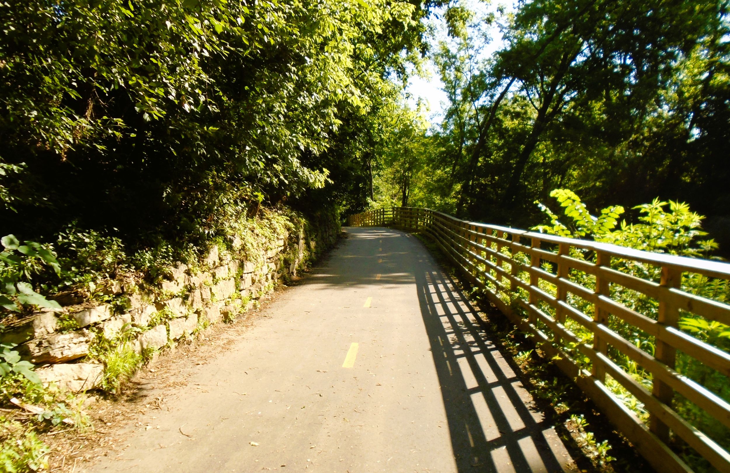
At the information kiosk, trail-goers proceed left (north) on the crushed stone path. A paved spur trail goes right (east) and returns to County Highway M (Century Avenue). The main path travels next to Pheasant Branch through a forest of cottonwood and other hardwood trees. After 0.4 mile, the trail turns left (west) and crosses the creek. The path then curves back to the right (north). A trail going left (south) leads to a neighborhood.
The trail emerges out of the creek’s lowlands to run along a low rising bluff. About 175 yards after crossing the bridge, a spur trail heads higher up the hill to the left (west). This ascending path leads to a trailhead at 3649 Pheasant Branch Road. It has a parking lot and information kiosk. The main trail maintains its lower, level gradient, and by-passes the trailhead. It still offers stunning views of the conservancy’s wetlands to the right (east).
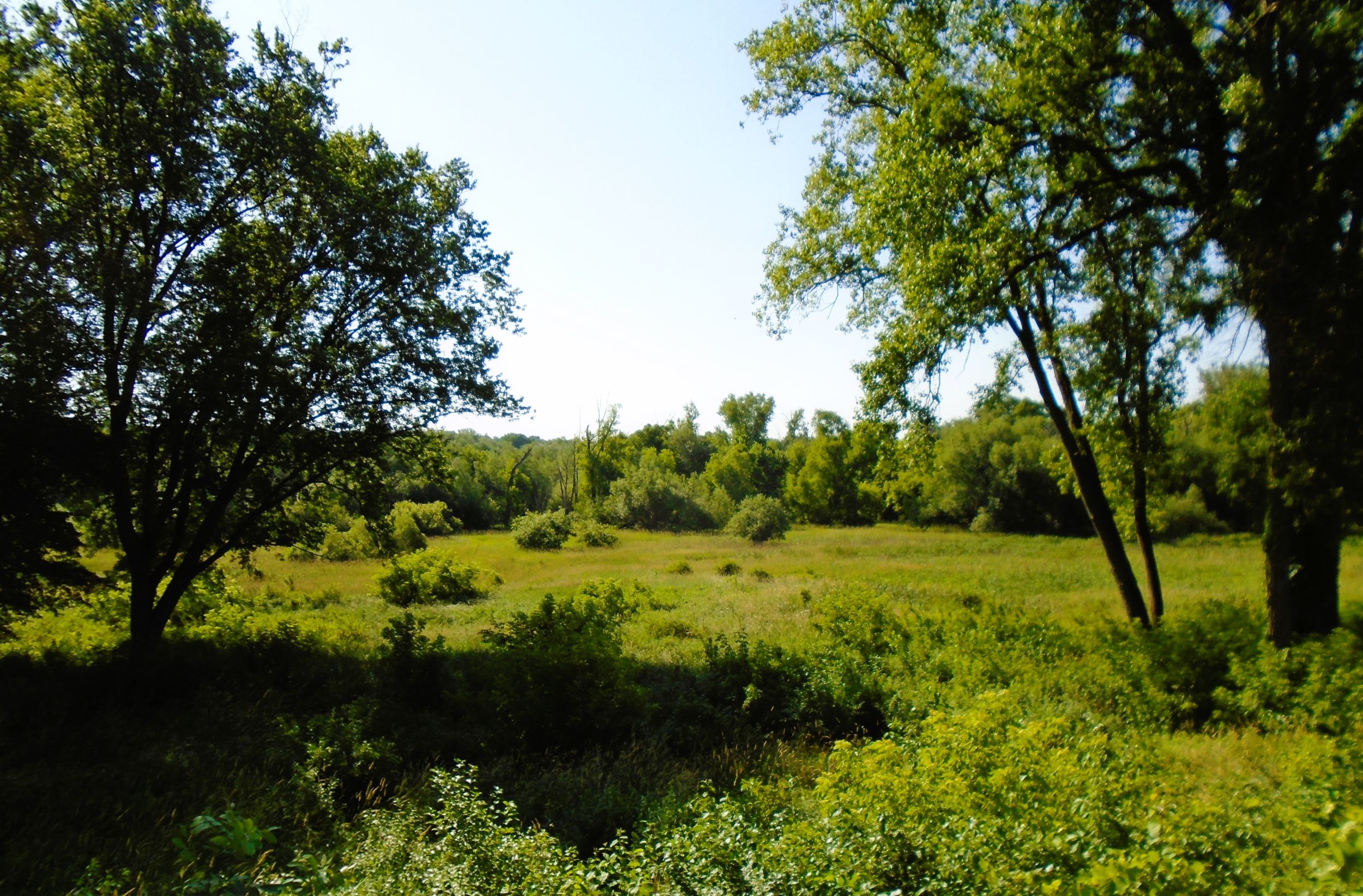
From the bridge, it is a half mile ride to another trailhead. This one is at 3829 Pheasant Branch Road. Although it is located on the same road, this is not the trailhead previously mentioned. The second one is larger, with a picnic table, benches, bike rack, self-service bicycle repair station, and parking lot. The “high” trail rejoins the main path here.
It is a half mile from the second trailhead to a third one, further north at 4865 Pheasant Branch Road. Between the two trailheads, the path travels next to the road. Along the way, it crosses a low, sedge meadow on a wooden boardwalk. An interpretive marker describes what sedge meadows are, and how they have been restored in the area. Afterwards, the path ascends into an open native prairie, filled with wildflowers during summer months.
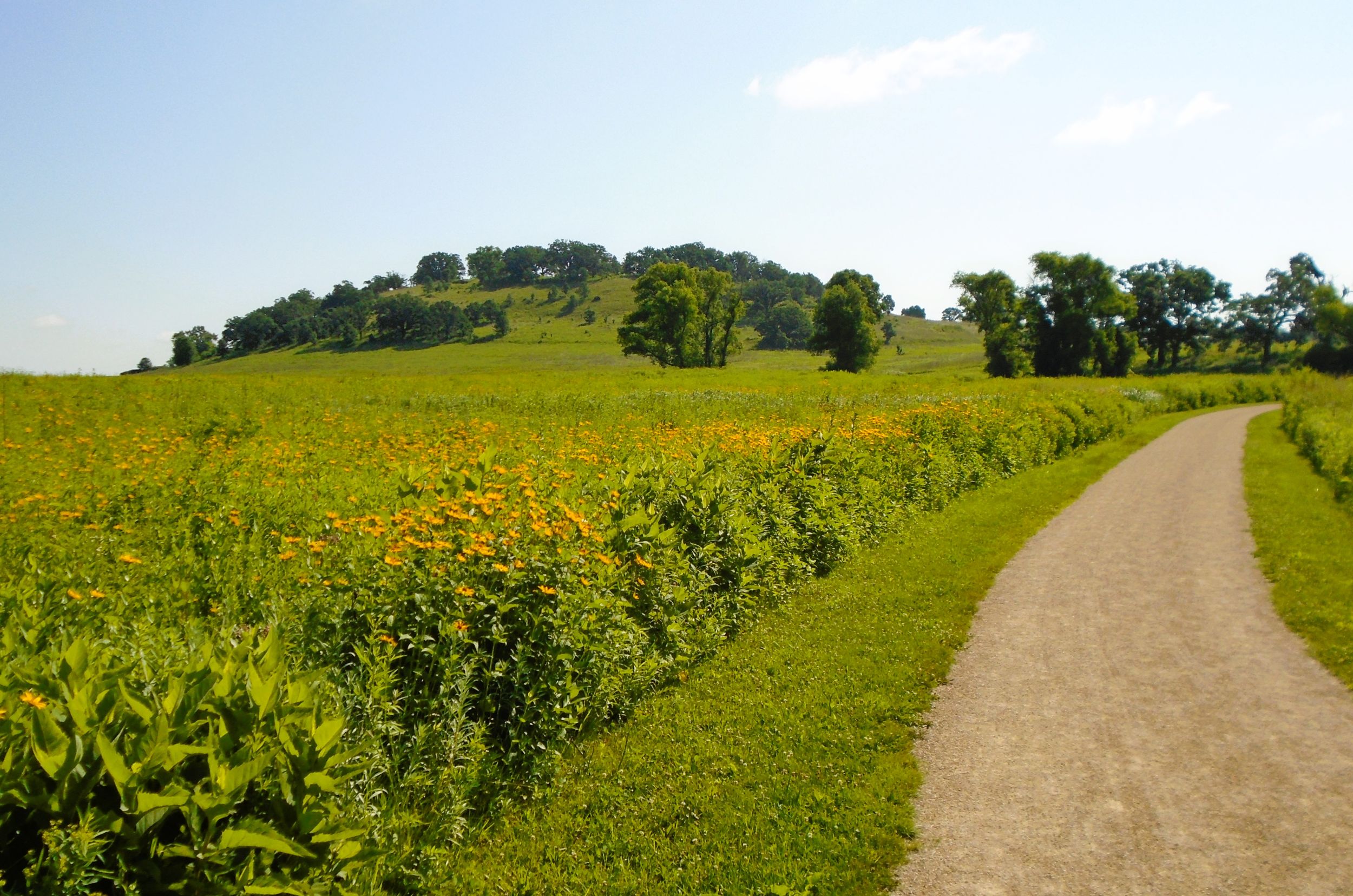
To access the third trailhead, turn left (west) at the next trail intersection and bike 500 feet to the parking lot. Here, a small historical marker tells how Black Hawk and his band of fleeing Fox and Sauk Indians camped nearby in 1832. Trying to elude federal U.S. troops and state militia, this group journeyed 400 miles through Illinois and Wisconsin.
From the third trailhead on Pheasant Branch Road, it is 350 yards back east through the open, remnant prairie to an information kiosk. This one describes the area’s landscape when the Ho-Chunk nation lived here, and shares the impact of white settlement on the land. It also explains how Dane County’s Parks Department manages the conservancy, and a friends group provides support, maintenance, and educational opportunities.
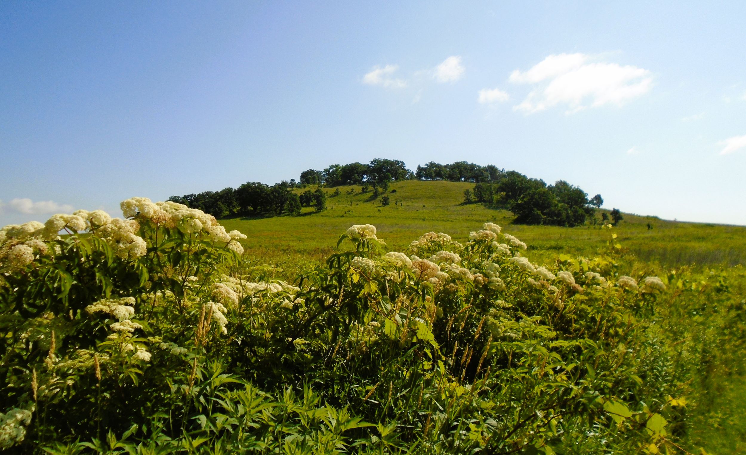
It is another 350 yard down the path to Frederick’s Hill. The prominence towers over the trail and wetlands below. While it is a popular place to explore, bicycles are not allowed on the hill’s trails. It’s worth climbing the acclivity to view protected Native American burial mounds there. The hilltop offers a commanding view of the surrounding landscape.
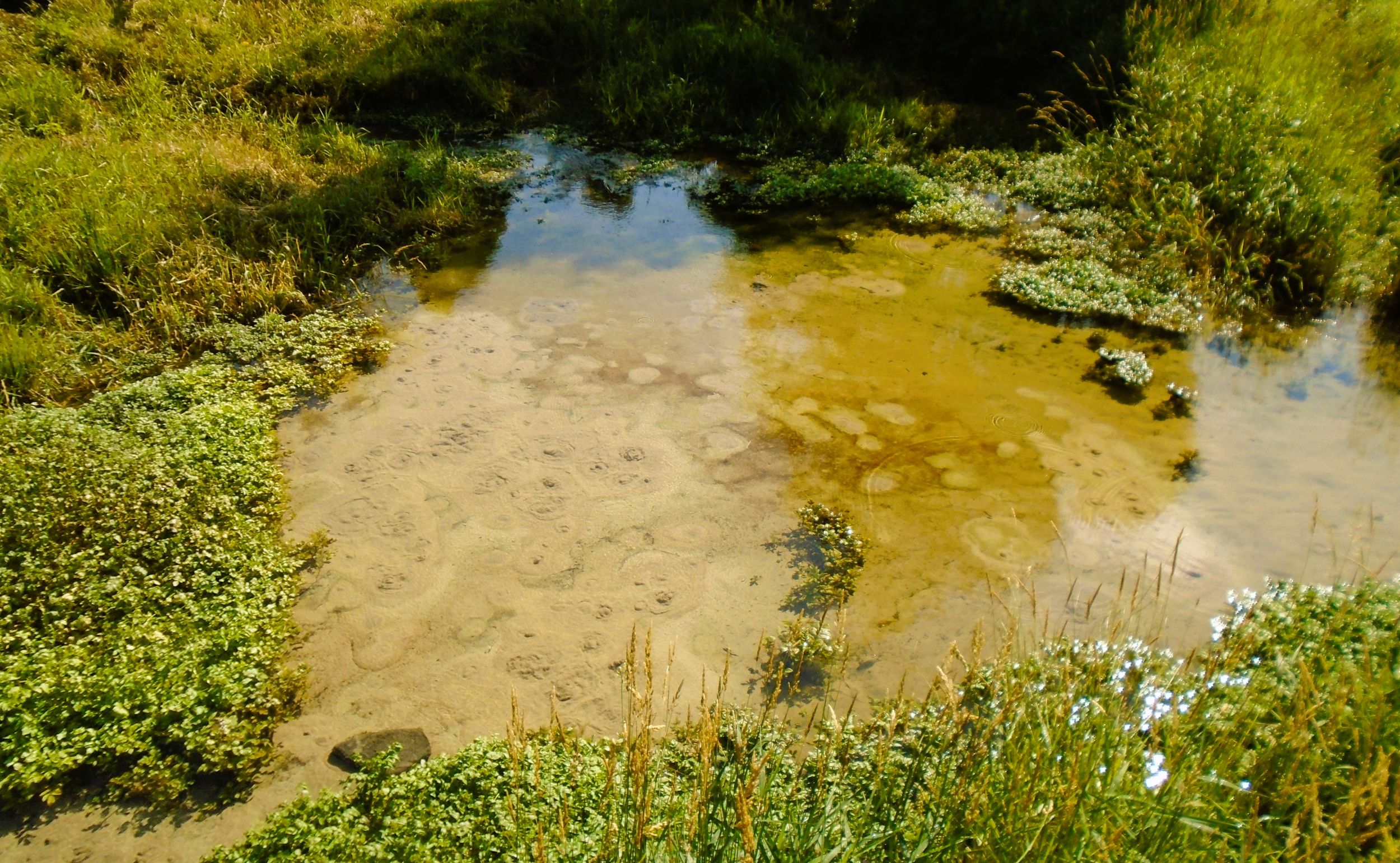
At the base of Frederick’s Hill is another natural attraction, Frederick Spring. Cyclists may leave their bikes at the main trail and walk down the hill on a foot path leading to the natural spring. A clear stream of water bubbles out of the sandy ground, forming a little creek that heads south into the marsh to join Pheasant Branch. It is fascinating to watch the soil on the creek bed seemingly boil up due to the emerging spring water below.
From the third trailhead, it’s 0.4 mile through the open prairie to Frederick’s Hill and Spring. It’s another half mile from these natural features to Orchard Heights Park. The trail passes by another information kiosk and travels through a willow grove before arriving at the park.
Orchard Heights Park serves as a excellent trailhead. It has a parking lot, picnic shelter, flush toilets, bike rack, and self-service bicycle station. Athletic fields, playground, and tennis courts are also there. Access the park by car from County Highway Q in Middleton. Turn west on Indigo Way and go a short distance. Then, turn left (south) onto Sandhill Drive. Drive 0.2 mile and turn left (south) onto Park Trail. The road enters the park.
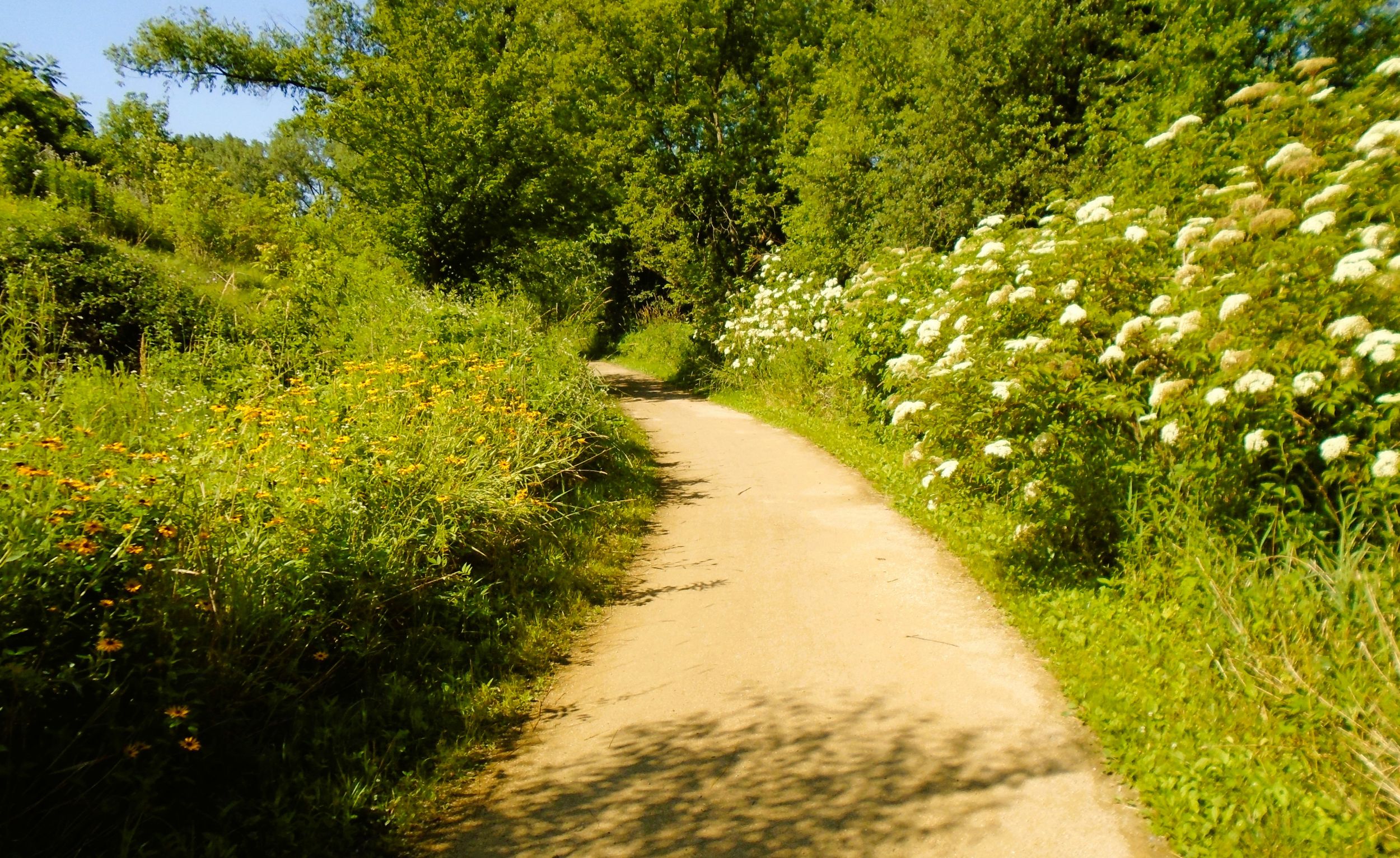
The Pheasant Branch Conservancy Trail leaves Orchid Heights Park going south through the open prairie. Beautiful wildflowers bloom in the vast prairie during warm weather months. After leaving the park, trail-goers should bear right (west) to remain in the conservancy. Spur trails in the other direction lead to local neighborhoods. One of these path runs uphill to a water tower and the John C. Bock Community Forest. The main path journeys south from Orchid Heights Park for nearly a mile along the eastern side of the conservancy. For much of this distance, it travels along the botton of a low wooded ridge.
The trail next crosses the stream that began at Frederick Spring. It converges with Pheasant Branch and flows into Lake Mendota. After the bridge, a spur trail to the left (south) leads off to a neighborhood. The main trail goes right (west) and continues on a wooden boardwalk for nearly 0.3 mile. In this section, a bike rack is available at a hiking trail junction. It leads right (north) to Saban’s Viewpoint. There is an outstanding vista of the flowing waters of Frederick Spring, with Frederick’s Hill rising from the wetlands in the distance.
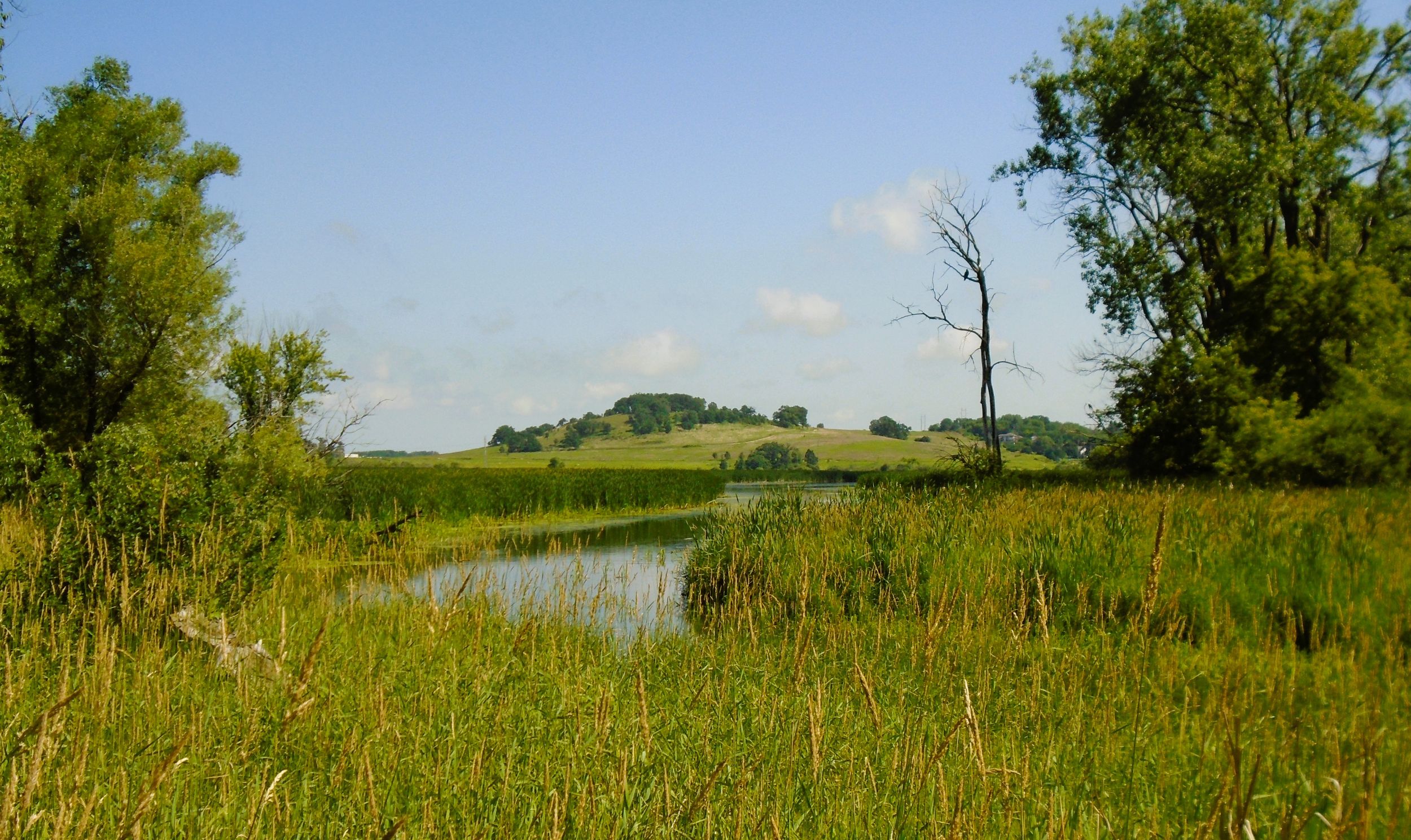
A short distance beyond the end of the wooden boardwalk, the main trail rejoins the path that first took trail-goers north alongside Pheasant Creek. This section should look familar, since it was previously traveled. Turning left (south) takes trail-goers back toward the path’s intersection with County Highway M (Century Avenue), Pheasant Branch Creek Corridor Trail, North Fork Trail, and the starting point at Ed Tallard Park.
Regarding the three trailheads on the west side of Pheasant Branch Conservancy, they are accessed by car from Pheasant Branch Road in Middleton. Turn north on Frank Lloyd Wright Avenue from County Highway M (Century Avenue). After 300 feet, turn right (east) at the “Y” in the road onto Pheasant Branch Road. It is 0.7 mile to the first trailhead. The second one is another 0.2 mile north. The third trailhead is another 0.4 mile. This is where the historical marker about Blackhawk’s encampment is located.
As part of the Madison metropolitan area, Middleton offers a lot of amenities to Pheasant Branch Conservancy visitors. It has a good amount of hotels, fast food chains, and sit-down restaurants. Some of these establishments are located directly off the path at Pheasant Creek Corridor Creeks Trail’s western terminus on Deming Way. The Stamm House on Century Avenue also provides an enjoyable dining experience in a historic setting.
Middleton has an interesting history. This area had long been home to the Ho-Chunk Nation. A trading post was established on the western shore of Lake Mendota in 1832. Throughout the 1840s, white Americans and European immigrants began settling in the Pheasant Creek watershed. The emerging community was called Peatville, due to the amount of peat pulled from the soil. The community was renamed Middleton in 1848.
Map of trailheads and addresses along this section of the trail.
The transportation of wheat was another industry that led to Middleton’s development. The arrival of the railroad in 1856 brought the construction of large grain elevators for storing wheat before being shipped out. Dairying replaced wheat at the end of the 19th century. Today, “The Good Neighbor City” specializes in retailing, manufacturing, and technology.
It is a short bike ride from Ed Tallard Park on the North Fork and Pheasant Branch Creek Corridor Trails to arrive at Pheasant Branch Conservancy. This section of the ride is 6.5 miles. The circular route in Phesant Creek Conservanmcy is 3.5 miles and may by accessed from several trailheads and Orchid Heights Park. The landscape in the conservancy and along Branch Creek is picturesque, and invites trail-goers to pause and enjoy the view. The conservancy’s path also offers a splendid education of the area’s human and natural history.
Trail last ridden and documented in July, 2025.