Apple Creek Trail
The Apple Creek Trail on Appleton’s north side is a short, delightful path that travels through both rural and suburban areas. The trail is 3.9 miles. With the addition of Highview Trail and another connector path, a one-way ride can extend up to 5.2 miles. As this trail is linear, counting a return ride, the total distance is 10.4 miles.
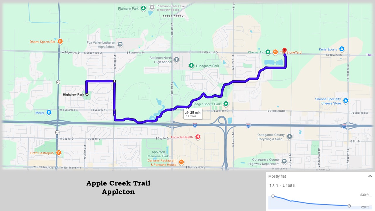
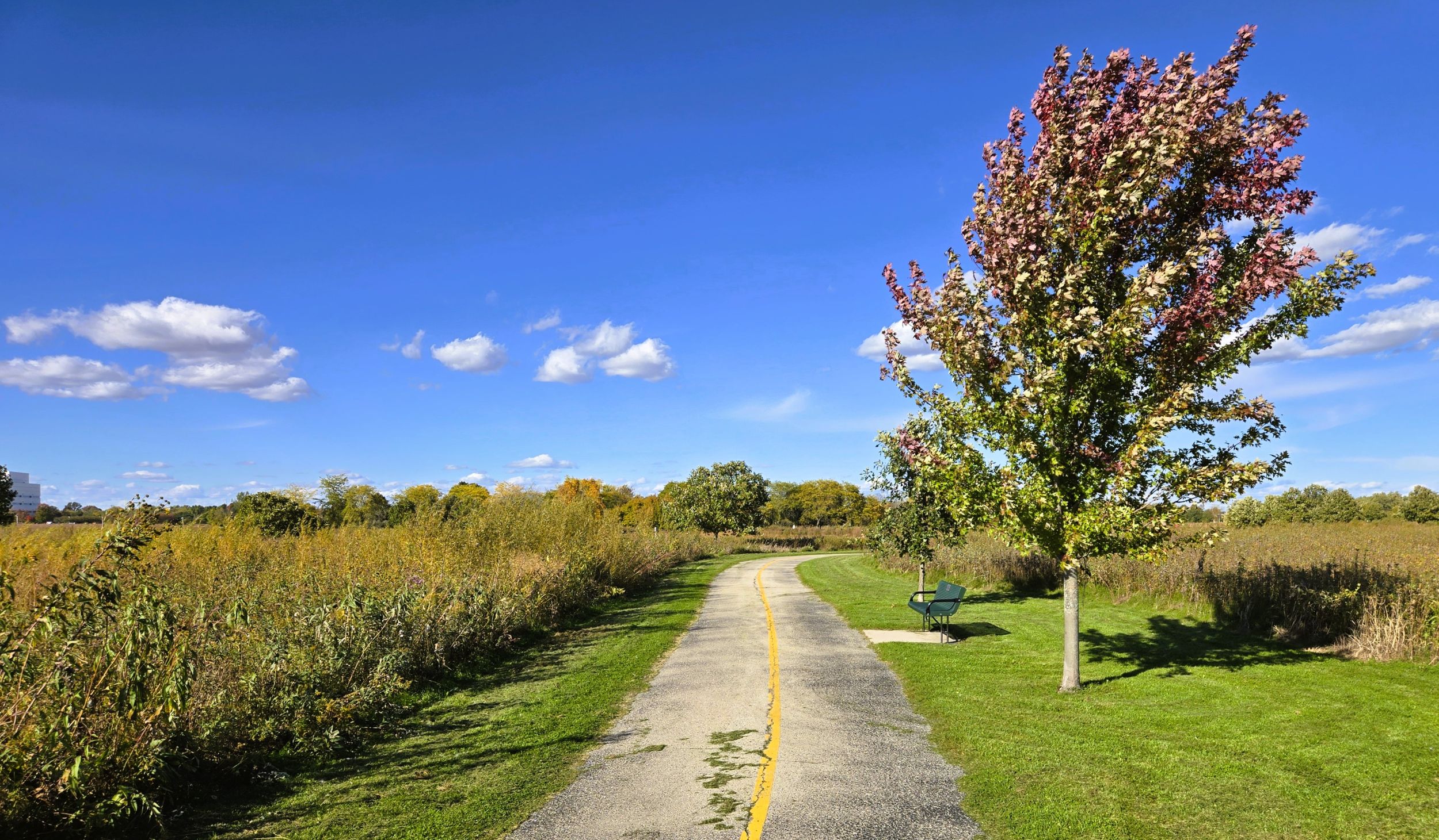
The surface of the Apple Creek Trail is paved, in excellent condition. A yellow center line divides the trail into two lanes. The grade is fairly level, with just one hill on Highview Trail. There’s a 40-foot gradient over a half mile, making it a gradual slope to descend or climb. Benches are found along the trail. A portable toilet and self-service bicycle repair station are located on the Apple Creek Trail at Ballard Road. Two interpretive markers near retention ponds explain how the creek’s watershed is managed.
Apple Creek Trail is named for the nearby stream that flows east for 20 miles to the Fox River. The path travels through the stream’s riparian zone, the low-lying area next to a creek or river. Apple Creek’s riparian zone has retention ponds and wetland areas which are havens for waterfowl. Trail-goers may see Canadian geese, blue herons, great egrets, and other duck species. Open meadows border parts of the trail, where songbirds are often seen.
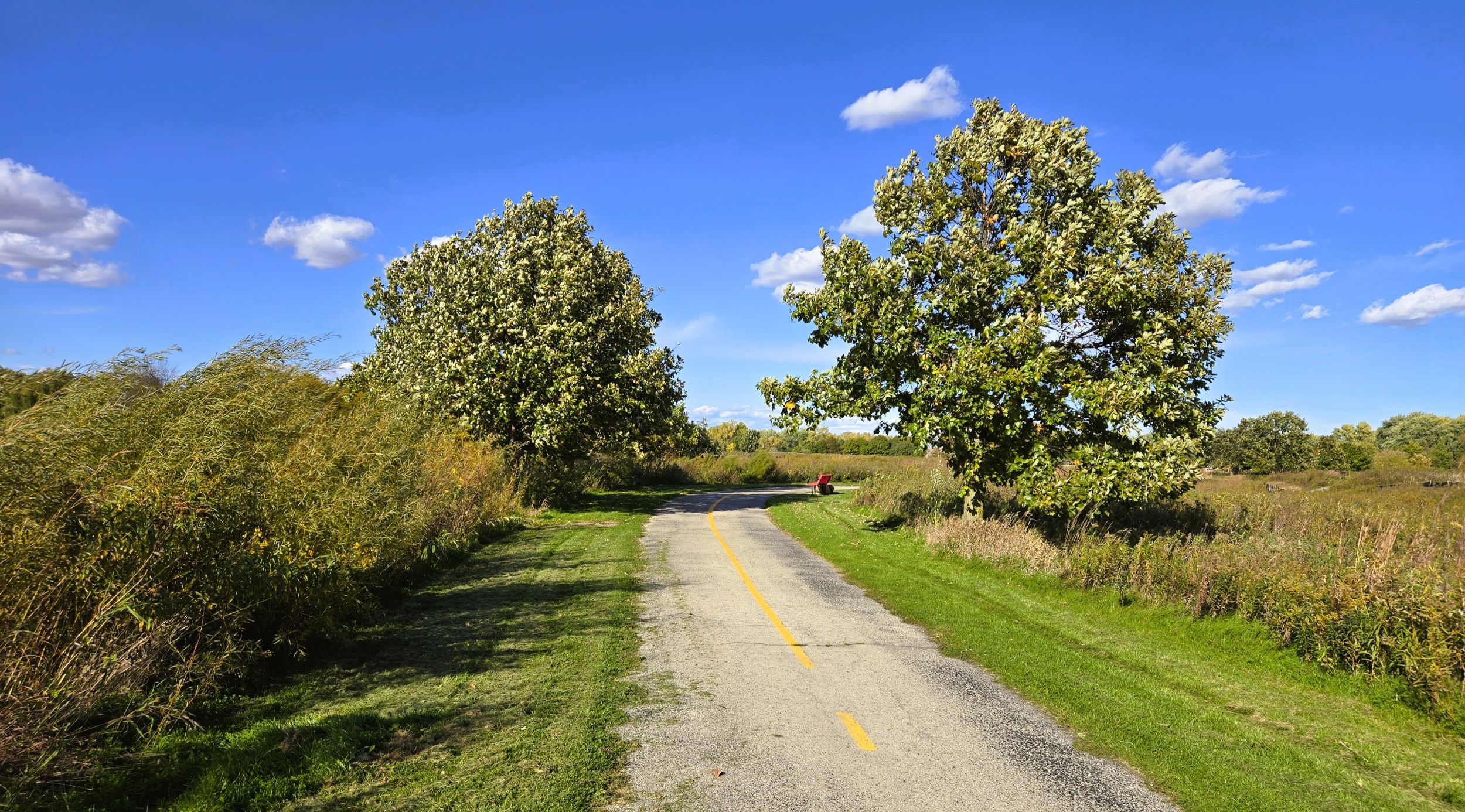
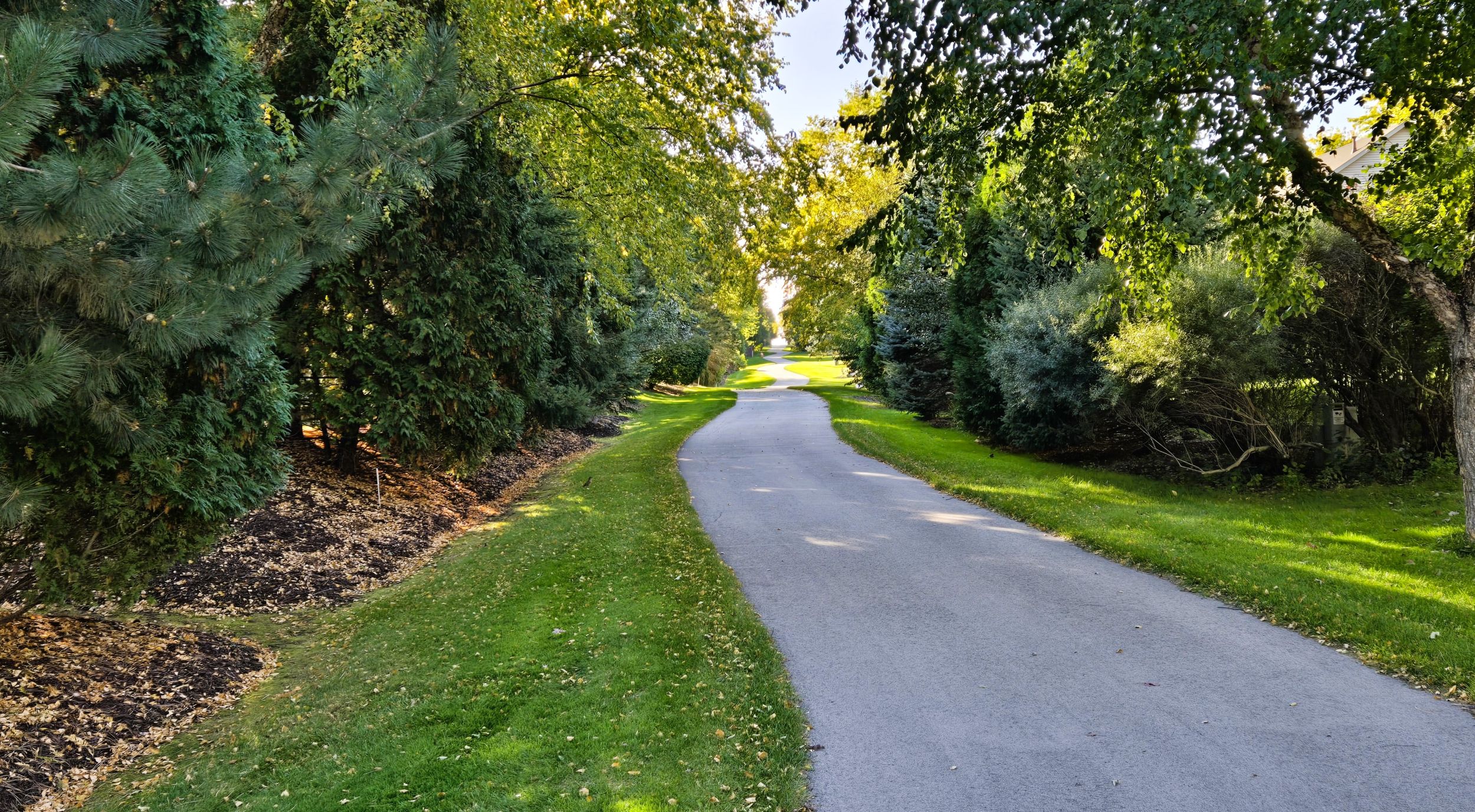
The landscape around the Apple Creek Trail varies throughout its course. Besides wetlands, the trail passes forests, farmlands, and neighborhoods. Some areas are shady, but most of the route journeys through an open environment, exposing trail-goers to sun and wind.
There is no fee to use the Apple Creek Trail, and the path sees a fair amount of traffic. Cyclists, pedestrians, and in-line skaters frequently use the trail. The route has a few blind turns where caution is required. The path also crosses several streets. All intersections have crosswalks and warning lines. Three road crossings have self-employed flashing lights.
The Apple Creek Trail begins at Meade Road and ends at County Highway JJ (Edgewood Drive). Neither the start nor end has a trailhead with a parking lot. Considering this, a good place to begin a ride is nearby Highview Park. This community park has street parking, restrooms, a picnic shelter, playground, and athletic courts.
To reach Highview Park by car from Interstate Highway 41 in Appleton, take exit 144 and drive south on County Highway E (Ballard Road) for 0.2 mile. Turn right (west) on Capitol Drive and go one mile to Meade Street. Turn right (north) and drive 0.9 mile. Turn left (west) on Crossing Meadows Lane. It is a half mile to Highview Park.
Highview Trail begins on the north side of Crossing Meadows Lane, opposite the park. The paved trail heads north though a neighborhood for 350 yards. One friendly household has set up a little free library by the trail. The path then turns right (east), and descends over the next half mile. Along the way, it crosses Morning Glory Drive and Knollwood Lane. A crosswalk with self-employed flashing lights assists trail-goers in safely crossing Meade Street.
A connector paved path runs along the east side of Meade Steet. To access the Apple Creek Trail, turn right (south) and bike 0.6 mile to the start of the trail. The path crosses two entrances to the Thrivent Financial Services large home office. Just as the trail begins to ascend the Interstate Highway 41 overpass, the Apple Creek Trail branches off to the left (east).
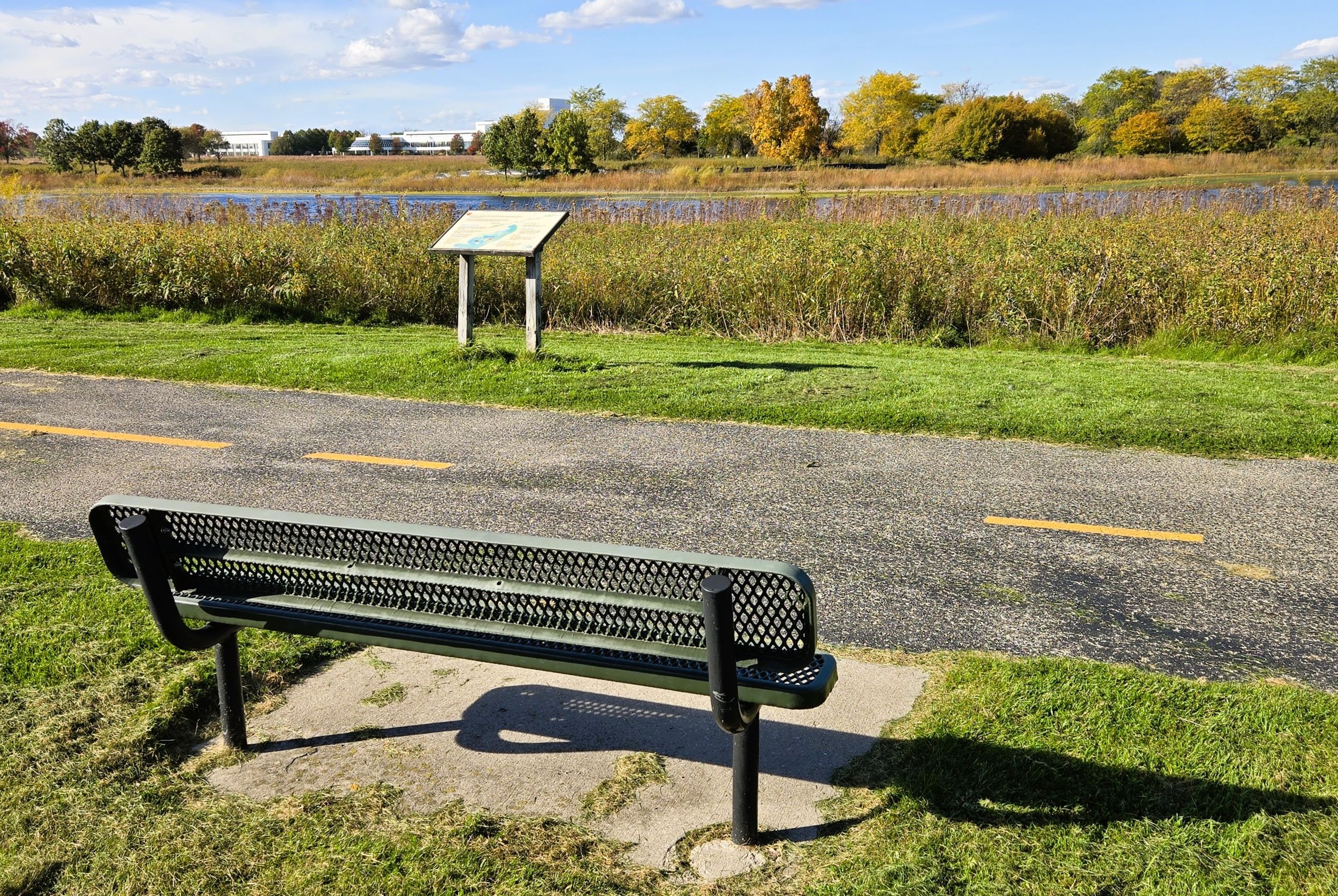
The Apple Creek Trail enters the expansive lands of Thrivent Financial Services after descending the overpass. After cutting south for 500 feet, the path turns left (east) and crosses a branch of Apple Creek. It travels through a small forest 0.3 mile before crossing another branch of the creek and arriving in an open prairie. While it travels near Interstate Highway 41, the noise of traffic is easily heard.
After passing the large “Thrivent” sign, the Apple Creek Trail journeys next to Ballard Pond. An interpretive marker and bench there offer an opportunity to relax and learn more about the creek watershed’s history. The large white Thrivent building looms in the background. The path continues through open prairie next to large ponds. More park benches are placed along the way, and this section of the trail is a perfect place to look for wildlife. Waterfowl frequent Ballard Pond, and songbirds are commonly seen darting across the trail.
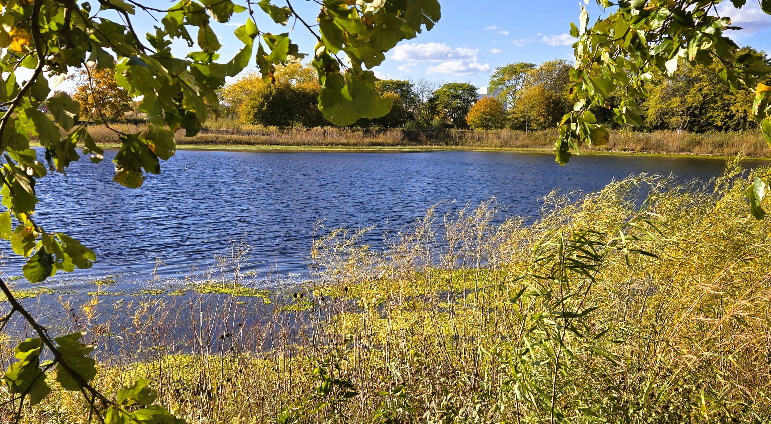
The trail meanders northeast through the large meadow to County Highway E (Ballard Road). Crosswalk lights take trail-goers across this busy road. A rest stop is found at the corner of Ballard Road and Evergreen Drive. A portable toilet, garbage bin, and self-service bicycle repair station are located there. A park-n-ride is positioned on the south side of Evergreen Drive, and some people use this parking lot as a trailhead. It’s WisDOT Park & Ride Lot Number 44-02. To reach the trail from the lot, cross Evergreen Drive.
From the rest area, Apple Creek Trail continues northeast behind businesses and next to a forest though which the stream flows. After 0.4 miles, the trail crosses Lightning Drive, named after the nearby high school’s sports team. The next intersection is in another 0.4 mile. The path again runs next to a forest surrounding the creek to the north, with apartments to the south.
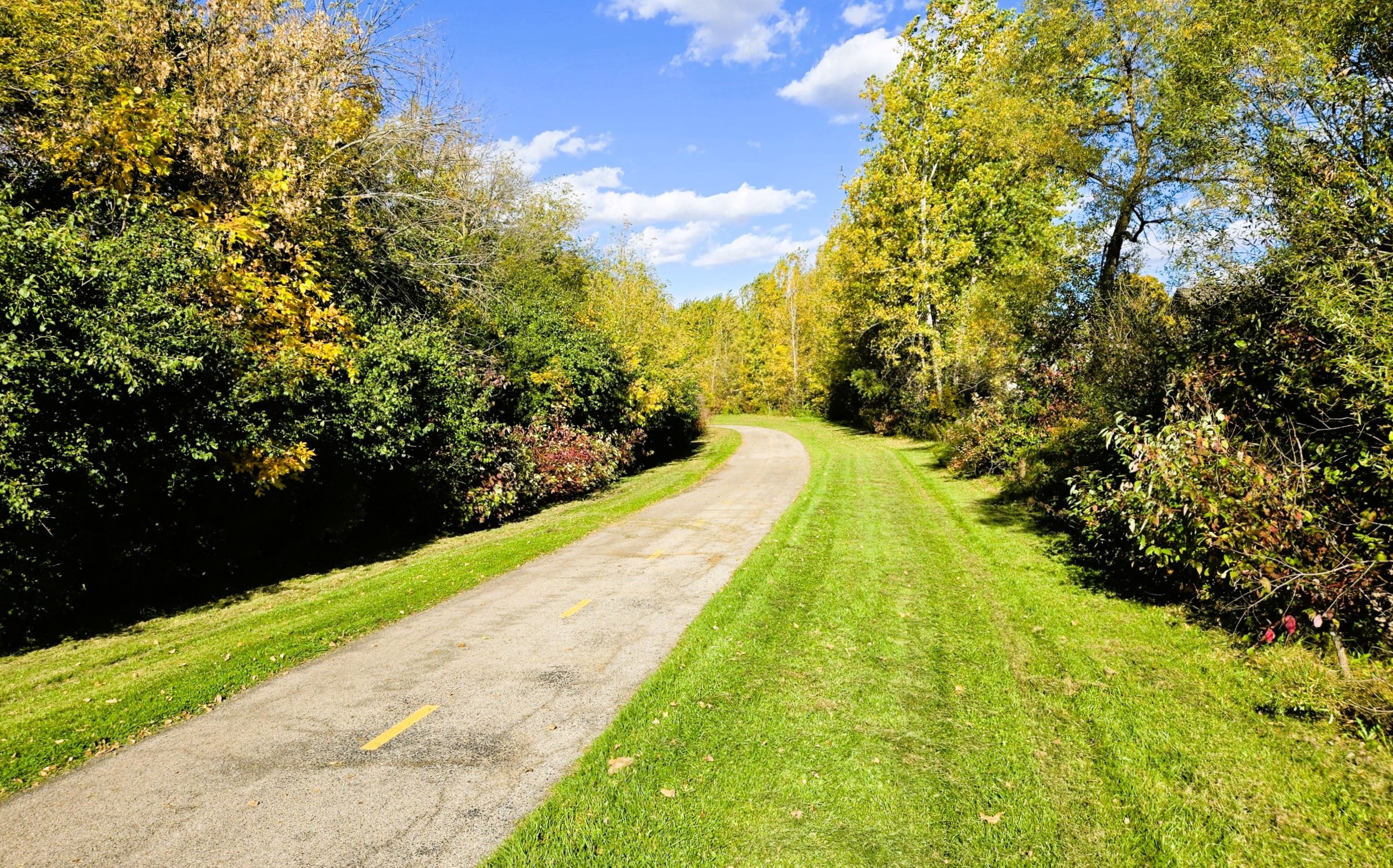
The landscape changes after crossing Providence Drive. Here the trail skirts the edge of the USA Youth Sports Complex soccer fields. A short spur trail leads to parking lot A. This complex may be another trailhead option; it’s found at 3300 E. Evergreen Drive in Appleton. The path continues heading northeast between Apple Creek and the soccer fields.
The intersection at French Road has a crosswalk and self-employed flashing lights. The final 1.3 miles of the trail run alongside the creek through a neighborhood. Homes and apartment complexes surround the trail. The landscape is wide open here, subjecting trail-goers to sun and wind. In this section, the trail crosses Cherryvale Avenue.
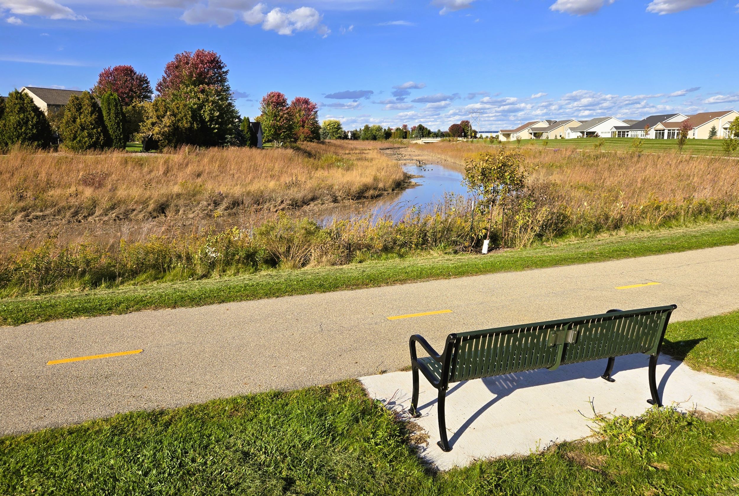
In the last half mile, another park bench and interpretive marker are found overlooking a second water basin. This one is Holland Pond, and it also offers views of congregating waterfowl. In its last 350 yards, the Apple Creek Trail turns left and heads north before ending abruptly at County Road JJ (Edgewood Drive). There’s no trailhead parking, just a bench and picnic table. Most trail-goers turn around and backtrack to their starting place.
Cyclists who want to extend their ride and get a bite to eat may take Edgewood Drive to the left (west) for 350 yards to The StoneYard. This sports bar and grill has a full food and beverage menu. They are known locally for their burgers, sandwiches, and chicken wings. Other nearby restaurants and hotels to accommodate visiting trail-goers are also nearby.
Map of trailheads and addresses along this section of the trail.
A ride from Highview Park to County Highway JJ is 5.9 miles long. The paved surface, wildlife opportunities and scenery make for a comfortable and pleasant excursion. The Apple Creek Trail is a popular path with families. The route is relatively level, road crossings are well-marked, and Highland Park offers restrooms, a playground, and picnic shelter. Its many benches provide ample opportunities to pause along the way. With its suburban yet rural setting, the Apple Creek Trail is a popular recreational path on Appleton’s north side.
Trail last ridden and documented in October, 2026.