Glacial Drumlin State Trail: Cottage Grove to London
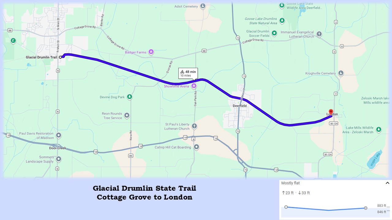
It is a ten-mile ride on the Glacial Drumlin State Trail from Cottage Grove to the community of London. Farm fields and marshlands make up the landscape in this part of Dane County. In the distance rise unique-looking hills. These drumlins are elongated mounds of sediment, created by ancient glaciers. Drumlins are often covered with forests, and make prime locations for houses. Fortunately cyclists don’t have to climb any of them on this trail.
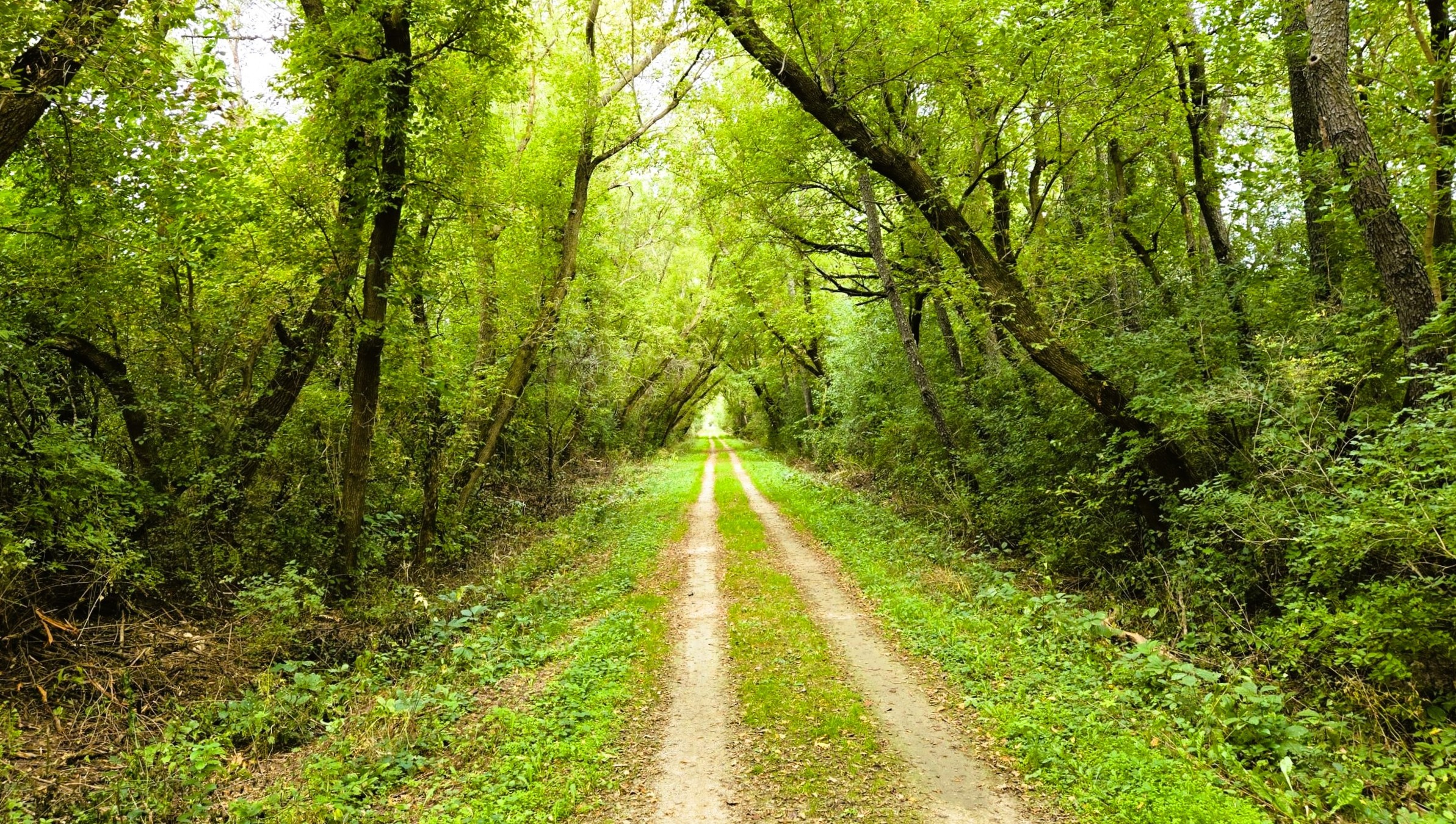
The crushed limestone surface of the Glacial Drumlin State Trail is in good condition. A short stretch is paved asphalt at the trail’s start, which helps in climbing a small hill. The gradient of the remaining section is fairly level. In many places along the route, the trail surface is composed of two lanes of crushed stone and compacted earth, surrounding a grassy median. In other newly graded places, the entire path is of crushed limestone.
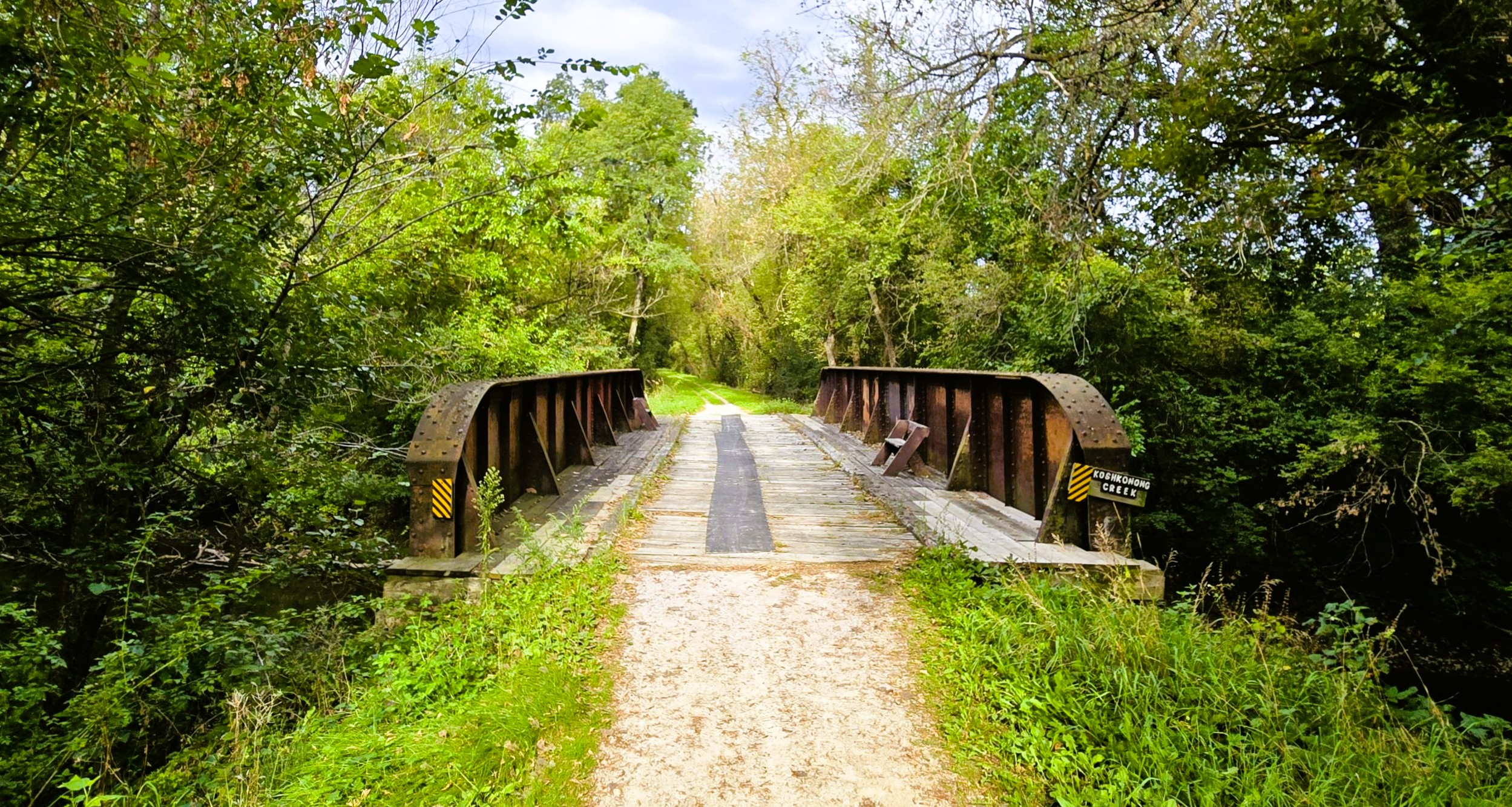
A corridor of hardwood trees and thick vegetation lines most of the Glacial Drumlin State Trail. This hedge helps screen the sun smd break the wind. Between these sections are scenic views of the low-lying countryside, with sporadic drumlins emerging from the horizon. In the first five miles, this trail section crosses Koshkonong Creek and its tributaries eight different times. The views at some of these bridges are more picturesque than others.
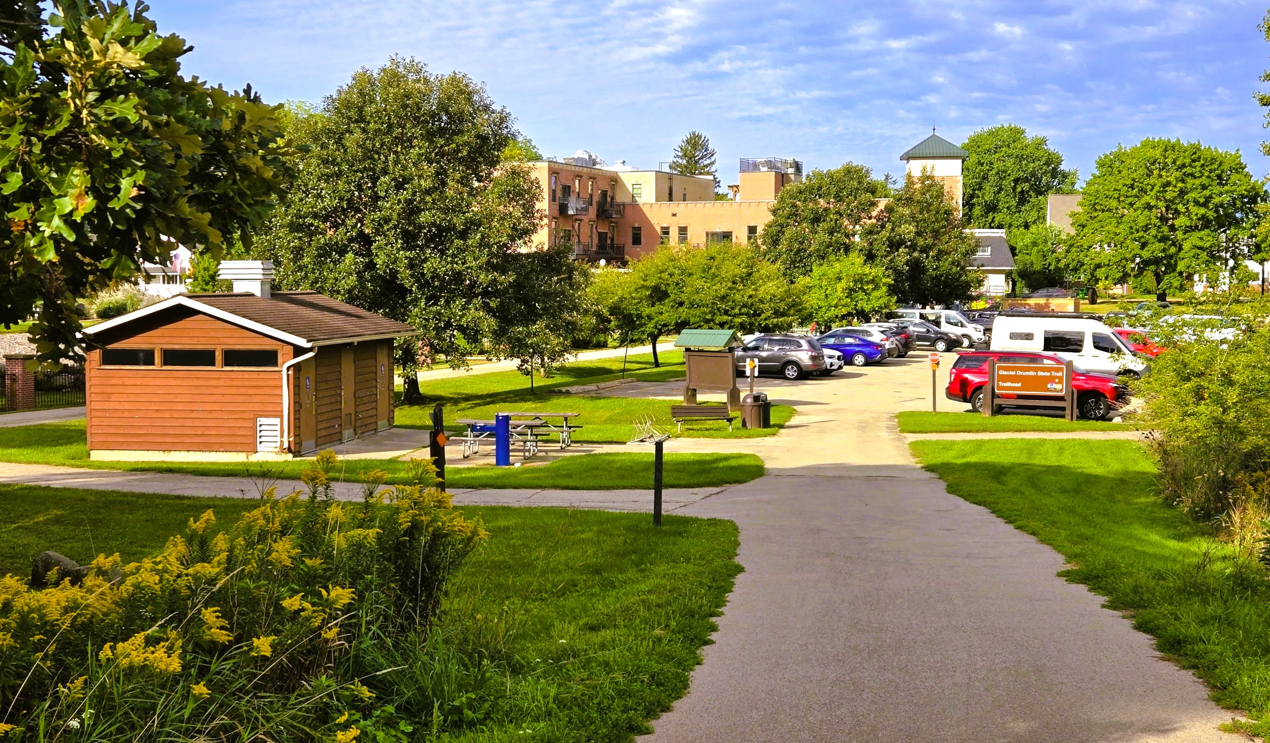
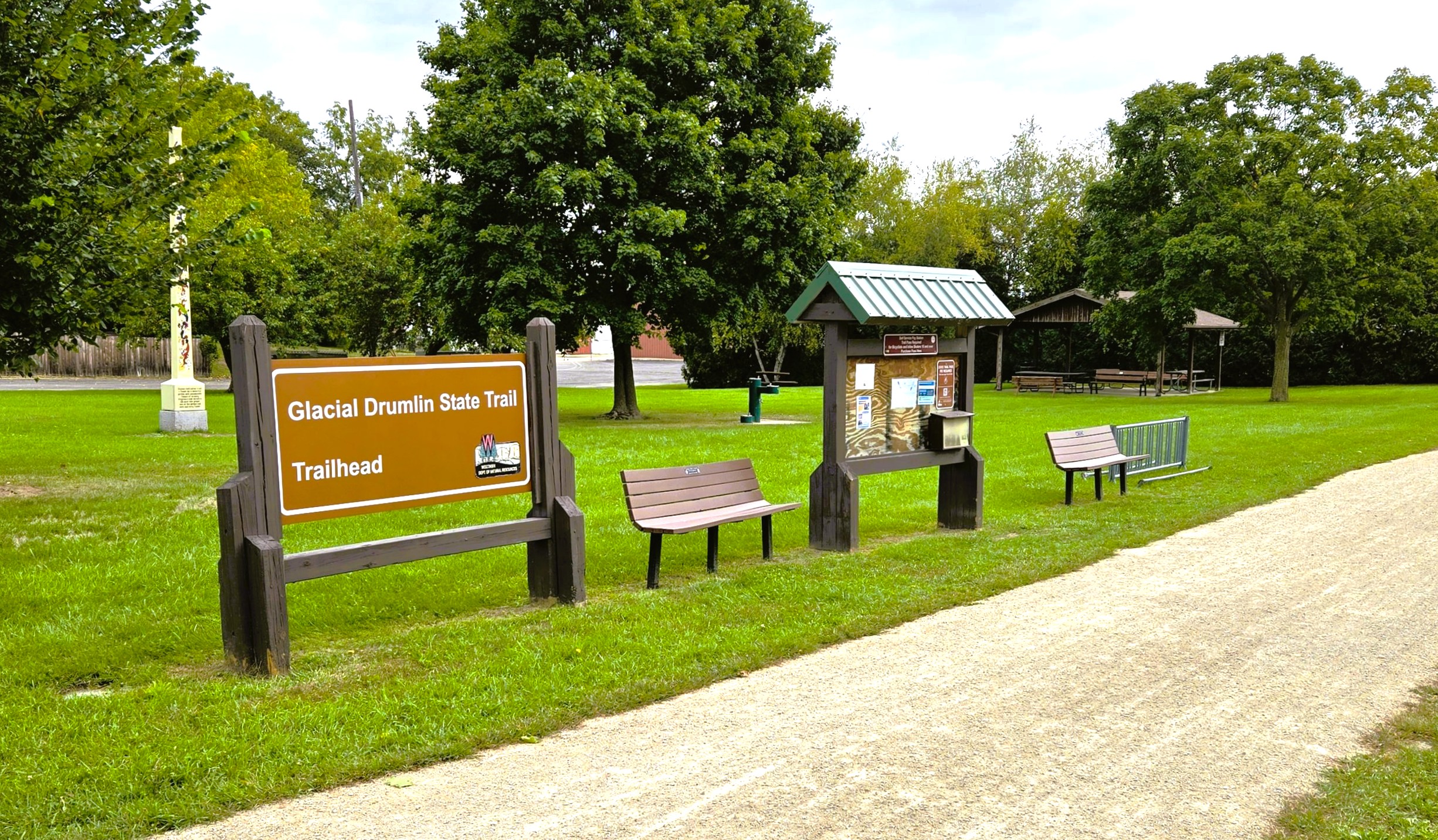
The Cottage Grove trailhead is in the center of the village. There is ample parking, restrooms with flush toilets, drinking waater, an information kiosk, bike racks, and picnic tables. It is easy to reach the trailhead by car. From Interstate Highway 94, take exit 244. Drive south on County Highway N for 2.5 miles. Turn left (east) at the marked sign. From U.S. Highways 12-18, take exit 272 and drive north three miles to the trailhead.
Restaurants and cafés in Cottage Grove cater to visiting trail-goers. A popular café and coffee house adjacent to the trailhead parking lot is the Olde Town Coffee House. Specialty coffees and teas, hearty breakfasts, lunches, and freshly baked goods are featured. A delightful outdoor patio beckons customers to relax in a beautiful scenic setting. The charming terrace is often filled with customers on pleasant summer weekends.
This area was once home to the Ho-Chunk nation. An early road that followed a Native American trail traveled through what would become Cottage Grove. William Taylor moved here in 1848. He went on to become Wisconsin’s 12th governor in 1874. Cottage Grove expanded in 1880 when the Chicago & North Western Railroad built a railline through the town. In 1924 it incorporated as a village. The village is named for a grove of burr oak trees where William Wells, an early settler, built a cottage in 1841.
Returning to the Glacial Drumlin State Trail, the paved trail leaves the Cottage Grove trailhead and advances west up a small hill. It’s the only hill on this section of the trail, but may be steep for novice bicyclists. After descending, the trail surface turns to crushed limestone in good condition. It is 0.4 miles to the first intersection at Heather Drive.
After crossing Heather Drive, the Glacial Drumlin State Trail quickly departs the village of Cottage Grove and moves into a rural setting. The trail is well-used on weekends, and traffic in the first five miles is often heavier on these days. Cyclists are reminded to exercise caution when passing pedestrians, and navigating near other cyclists.
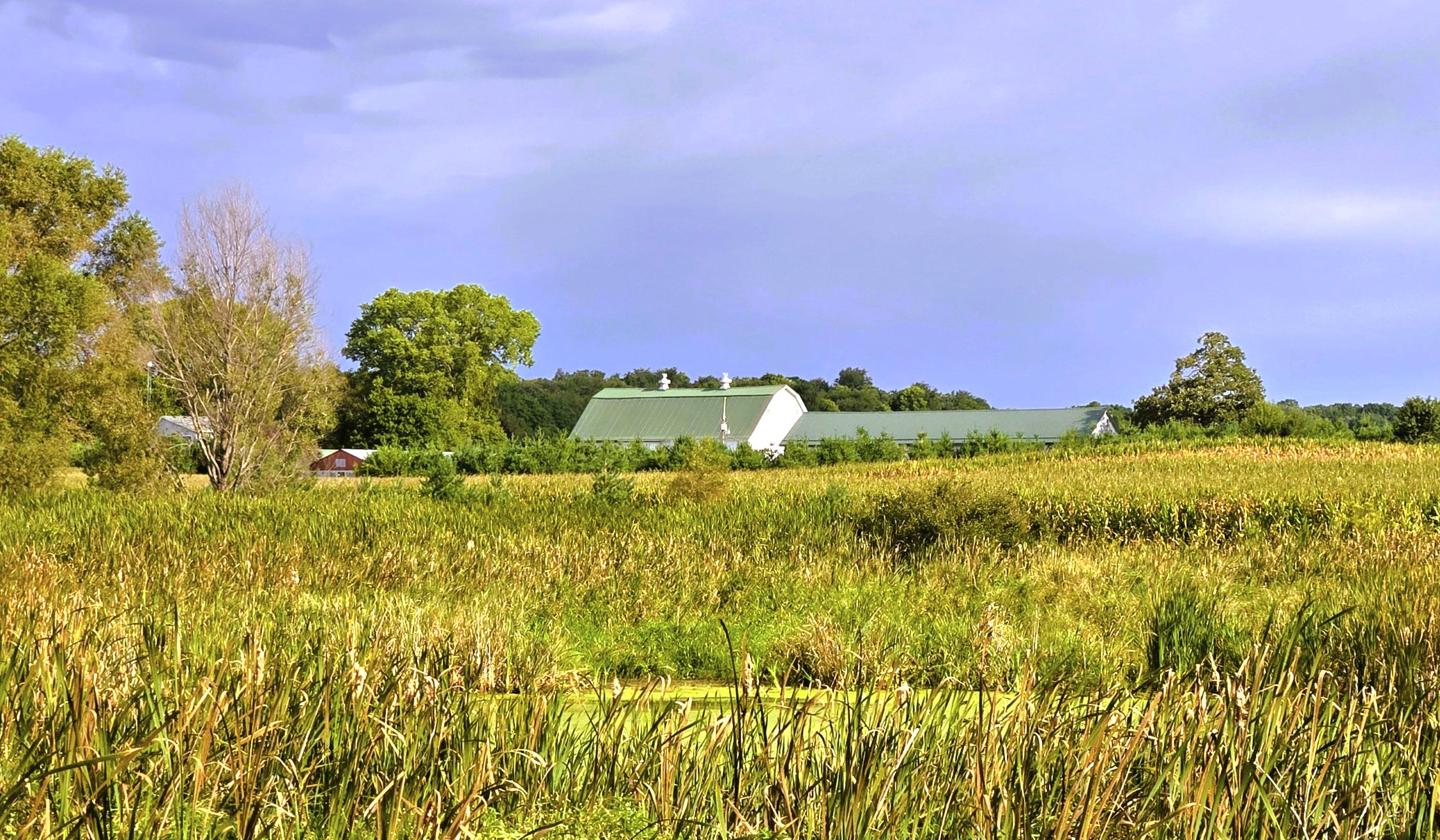
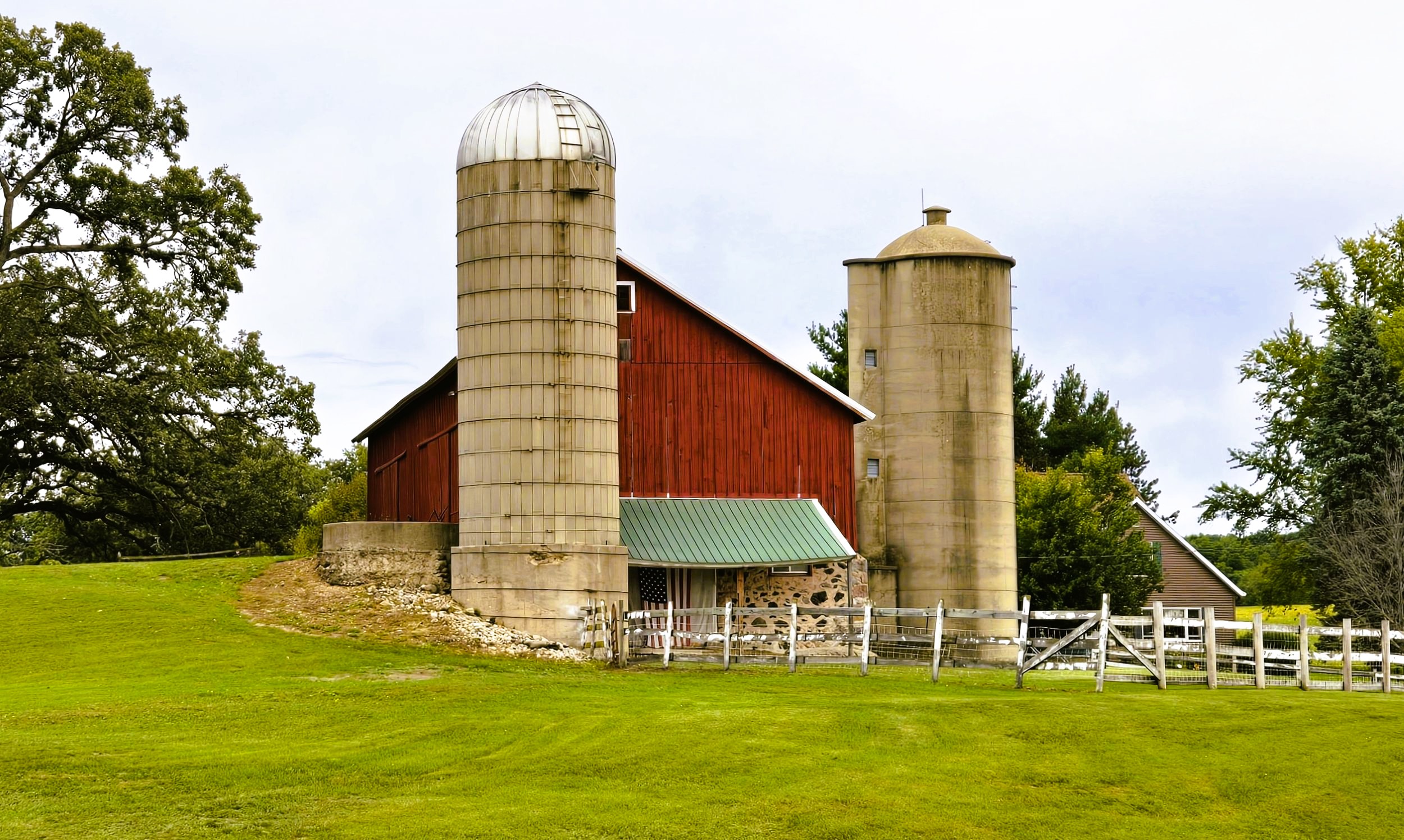
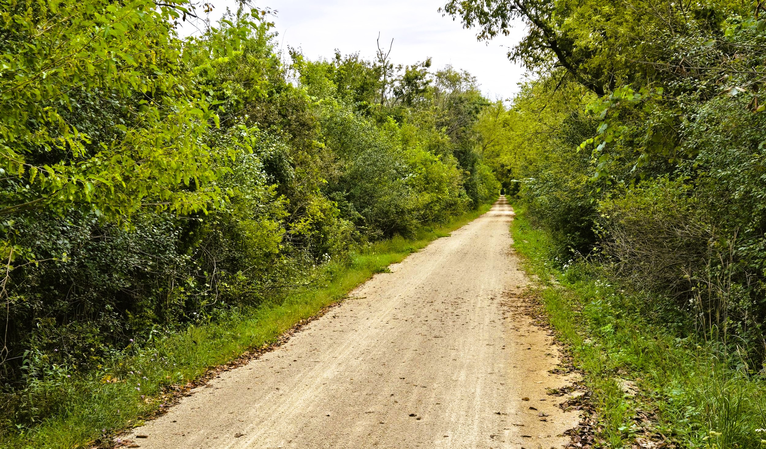
For 1.3 miles from Heather Drive to Uphoff Road, the Glacial Drumlin State Trail passes through marshland and low-lying fields. Family farmsteads are visible in the distance. The path crosses several drainage canals that lead to Koshkonong Creek. Near the trail intersection with Uphoff Road, the landscape becomes more forested, especially in sections surrounding Koshkonong Creek. This stream runs in the midst of this wooded and marshy lowlands, meandering across the trail for the first time right before Uphoff Road.
As the trail travels east, signs of prehistoric glacial activity are noticeable across the countryside. Marshy areas and low-lying farmfields surround the drumlins, which point southwest. Creeks and drainage canals cut through the lowlands. Ponds and kettle lakes are situated in some of these marshes. These shallow, bowl-shaped bodies of water formed when a retreating glacier left behind a buried block of ice which melted.
In May and June, cyclists hear a chorus of spring peeper frogs in the wetlands. In spring, the purple-colored Dame’s Rocket (Hesperis matronalis) blooms next to the trail. In late in summer and early autumn, trail-goers see Goldenrod (Solidago canadensis), White Snakeroot (Ageratina altissima), and Black-eyed Susans (Rudbeckia hirta).
It’s 3.1 miles from Uphoff Road to Oak Park Road. Along the way, the Glacial Drumlin State Trail bridges Koshkonong Creek and a tributary at three places. It also crosses Dvorak Road. At that intersection, a kettle pond sits to the left (north) of the path. Before the intersection with Oak Park Road, an interpretive marker is found on the right (south). It describes various prairie plants that grow on the dry prairies of southern Wisconsin.
From Oak Park Road, it is 1.8 miles to downtown Deerfield. In this stretch the trail passes more drumlins, and bridges Koshkonong Creek again. Deerfield has roots in the late 1830s and 1840s, when Norwegian immigrants settled in the area. They first settled at what is now the intersection of Wisconsin State Highway 73 and County Highway BB. After the railway was built two miles south in 1880, the residents moved to that current location.
A trailhead is located on Main Street in Deerfield. It has a parking lot, picnic shelter, park benches, bike rack, and information kiosk. A sandwich board at the trailhead advertises local establishments that sell food, beverages, and ice cream. Just two blocks north of the trail is the Deerfield Coffeehouse. It serves a wide variety of coffee beverages, other drinks, and breakfast items. It’s a great place to stop for an ice cream cone too!
The Deerfield trailhead is reached from Interstate Highway 94 by going south on Wisconsin State Highway 73 (exit 250) and driving 3.8 miles to the parking lot. It is two miles north to the trailhead on Wisconsin State Highway 73 when coming from U.S. Highways 12-18.
Deerfield has a lovely community park on its east side, which may also serve as a trailhead. From the Main Street trailhead, it is a half mile further east on the psth to the community park. It has a lot to offer, including restrooms, picnic shelter, playground, dog park, athletic fields, and disc golf course. It is located at 200 S. Industrial Park Road.
East of Deerfield, the Glacial Drumlin State Trail crosses Mud Creek and passes more drumlins. Three miles east of Deerfield is London, on the boundary of Dane and Jefferson Counties. The hamlet dates to the advent of the Chicago & North Western Railroad, in the early 1880s. A small trailhead with a parking lot is found off Holy Ridge Lane. It is accessed by car from Wisconsin State Highway 134 in London. Turn to the west on Main Street, left (north) on Holly Ridge Lane, and immediately left (west) into the trailhead.
Map of trailheads and addresses along this section of the trail.
A ten-mile excursion on the Gracial Drumlin State Trail from Cottage Grove to London offers a scenic view of the region’s countryside. It’s intriguing to see how the work of ancient glaciers affected the terrain, even to today. The landscape contains forested drumlins, fertile farmland, and low wetlands. The trail surface is in good condtion, the route is well-marked, and the scenery is spectacular. A stop in Deerfield also adds to the ride.
Trail last ridden and documented in September 2026.