U.S. Highway 12 Trail
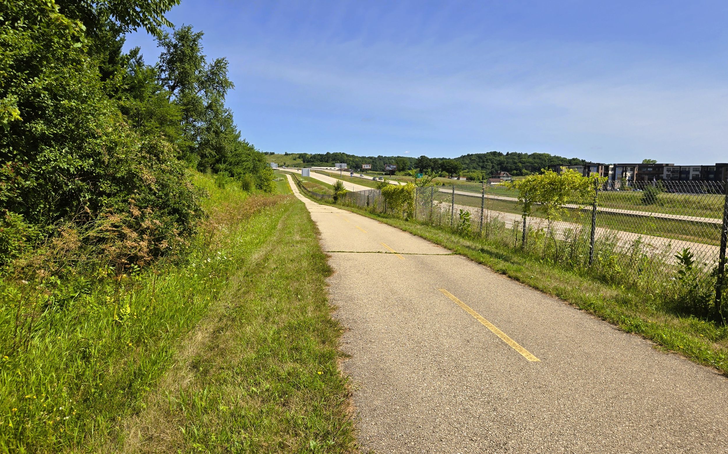
The U.S. Highway 12 Trail journeys 11 miles through the rolling countryside of Dane County, traveling next to its namesake highway. Despite the noise of heavy traffic from the nearby four-lane highway, the surrounding scenery is rural. The path advances through undulating hills of forests, meadows, and farm fields. Most of the trail runs through lands that are wide open and exposed, with little protection from the wind and sun. An excursion on the U.S. Highway 12 Trail promises to be exhilarating and enjoyable.
The path is divided into northern and southern sections. The southern section advances northwest for nine miles, from Middleton to Rauls Road. The northern segment travels southeast 2.1 miles, from the U.S. Highway 12 bridge over the Wisconsin River in Sauk City to Dunlap Hollow Road. Both sections connect to other trails in Middleton and Sauk City, and are linked to parks which work well as trailheads. Travel on these additional spur trails makes the entire southern route 10.3 miles, and the entire northern route three miles.
The U.S. Highway 12 Trail is managed by the Wisconsin Department of Transportation. The path does not currently connect the cities of Middleton and Sauk City. There is a gap of 6.3 miles along the highway where there is no trail. In this section, the highway passes over lofty Collins Ridge. Its elevation rises above 1,200 feet. If the two trail sections were joined, traveling this area would involve an additional climb on a bicycle of over 300 feet.
In 2005, when the trail was built as part of the highway’s four-lane expansion project, plans called for the path to extend the full distance from Middleton to Sauk City. However, the 6.3-mile section was never completed, likely because of the daunting task of traversing Collins Ridge. Despite this, a trail bridge over the highway in this section was constructed. Known as “the bridge to nowhere,” it links farm fields on each side of the highway. Hopefully in time this section of the trail will be completed, and the bridge will fulfill its purpose.
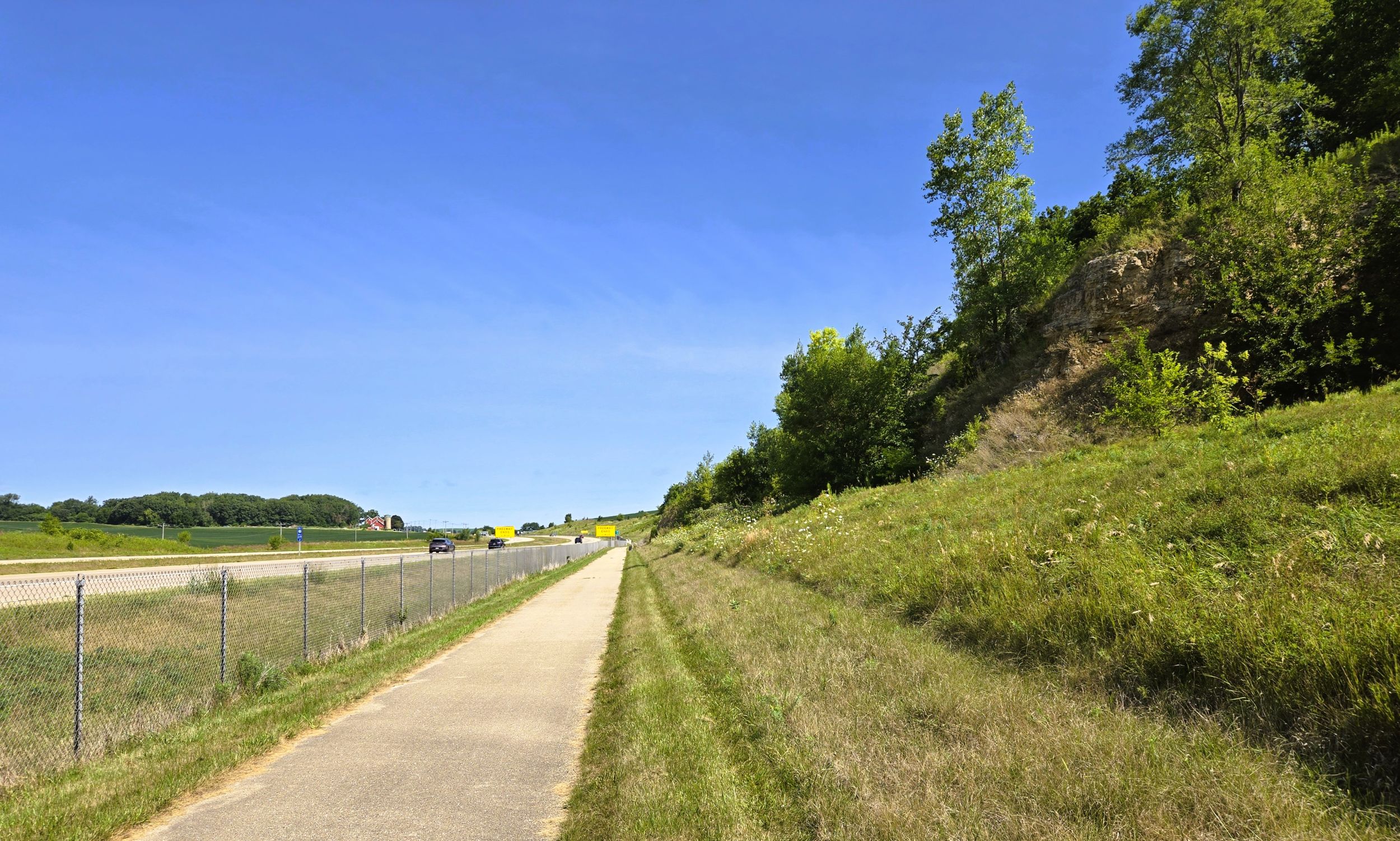
The surface of the U.S. Highway 12 Trail is paved asphalt, in very good condition. Cracks in the pavement may be bothersome for some cyclists. In some areas, grass and weeds grow from the cracks. The trail section from Wisconsin State Highway 19 north to Rauls is scheduled to have cracks resealed in August of 2026.
Another consideration when biking the U.S. Highway 12 Trail are the changes in elevation. The route passes through the hilly landscape of northwestern Dane County. In the northern segment, the trail ascends over 100 feet from Sauk City to Dunlap Hollow Road. The gradient is even steeper for the southern section. Over nine miles the trail climbs over 200 feet, with much of the incline in the last half mile. For cyclists riding from the community parks in Middleton or Sauk City, the ascents occur during the first half of a round trip excursion. For the most part, it’s a downhill ride returning to the trailhead.

Riverfront Park in Sauk City and Firefighters Memorial Park in Middleton serve as excellent trailheads. On the southern section, there are several other trailhead locations. Two park and ride lots along the way may serve as options. Pape Park in Springfield Corners is another trailhead location. No other facilities are located along the trail, but local businesses in Sauk City and Middleton are not far off the path and eager to serve trail-goers.
There is no cost to use the U.S. Highway 12 Trail. Bicyclists should exercise good trail etiquette. Crosswalk signals are located at several intersections with main roads. Because these are busy roads, wearing bright clothing and using lights is recommended for cyclists on this trail. Sunscreen may need to be applied when biking on bright, sunny days. A ride on the U.S. Highway 12 Trail is a pleasant, but invigorating experience.
Route Descriptions