Badger State Trail: Monroe to Orangeville
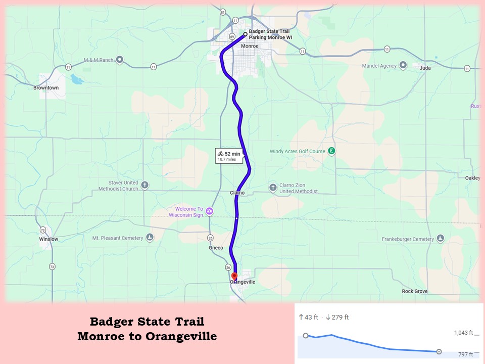
It’s a pleasant ride on the Badger State Trail from Monroe to the Wisconsin-Illinois state line. The countryside surrounding the path is rural, with rolling farm fields, hardwood forests, and open meadows. Along the way, the trail passes through the community of Claro. The ride is 8.2 miles long and mostly downhill, dropping approximately 250 feet in elevation over that distance. The surface of the path is crushed limestone, in good condition.
There is no trailhead at the end of the Badger State Trail at the state line. Many bicyclists continue their ride south for another 2.5 miles on the Jane Addams Trail to Orangeville, Illinois. The Jane Addams Trail picks up where the Badger State Trail ends. It travels 17 miles to the city of Freeport through a similar landscape of farm country, forests, and meadows. A ride from Monroe to Orangeville is 10.7 miles long.
Before or after a ride on the Badger State Trail, visitors may want to explore Monroe’s many attractions. The quaint city is known as “the Swiss Cheese Capital of the USA.” Its scenic town square is home to the Green County courthouse, local businesses, and restaurants.
On the square, Baumgartner’s Cheese Store and Tavern provides an authentic Swiss-Wisconsin dining experience. Their menu includes local beer, tasty cheese soup, and sandwiches. Cheese connoisseurs might try the pungent Limburger or Brick cheese sandwiches. Baumgartner’s also sells regional cheese from their deli counter.
Minhas Craft Brewery and Distillery, another Monroe attraction, features microbrews and ardent spirits. Their factory tour ends with a sampling of their products. The Swiss Colony outlet store (also in Monroe) is a local gem where the public can purchase discounted cheese and desserts produced by this long-established company headquartered in Monroe.
Turner Hall, just off the city square, is the oldest active Turner Hall of Swiss origin in the nation. It houses the old-world Ratskeller restaurant, featuring traditional Swiss and Wisconsin fare. Dancing is offered every Sunday afternoon at the hall.
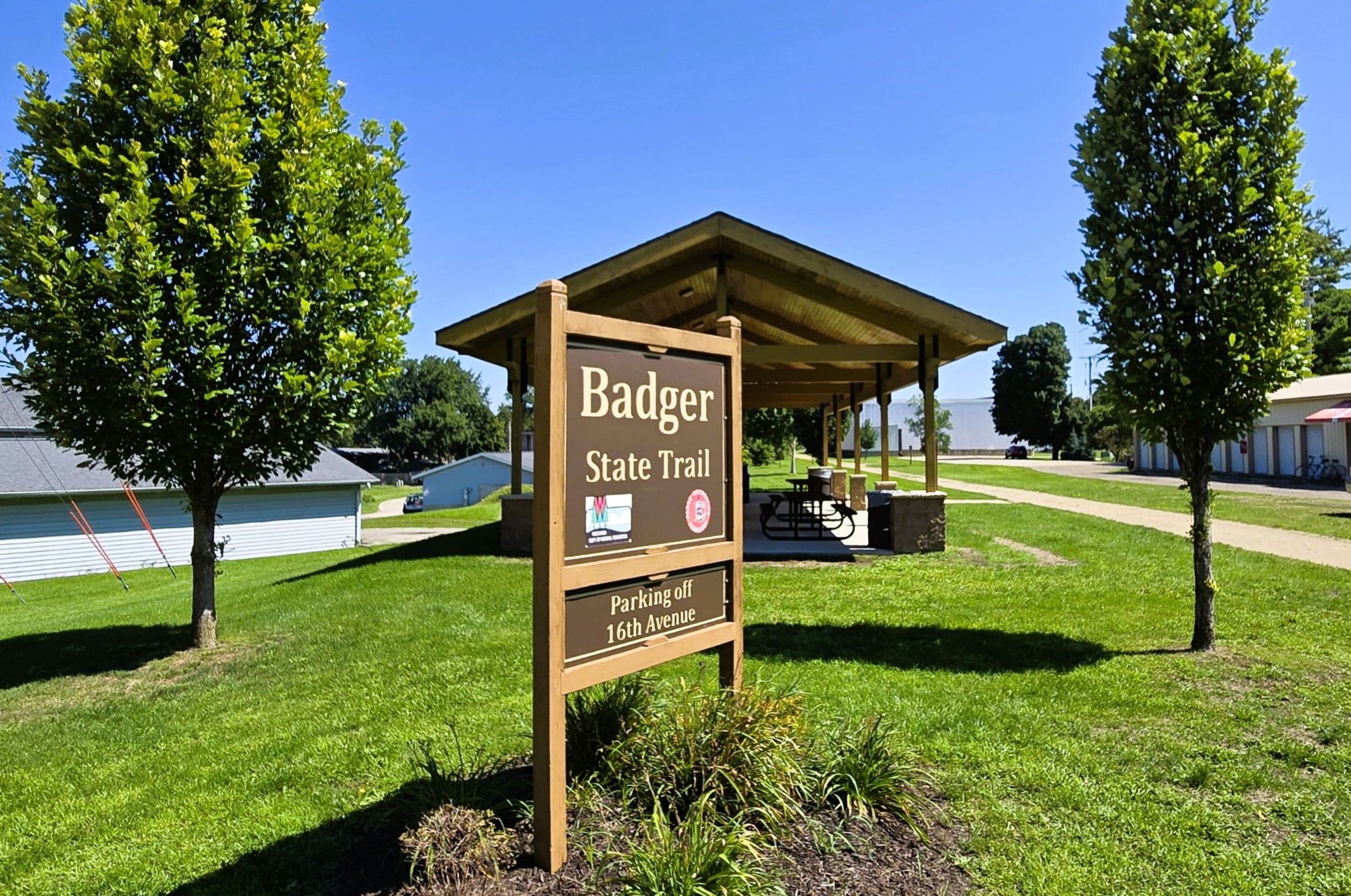
Returning to the Badger State Trail, there are two parking lots that serve as trailheads in Monroe. They are both located off 14th Avenue and conveniently set next to the trail. One is a relatively hidden parking lot on the east side of 14th Avenue, tucked behind the Bike Haus. This bike shop sells bicycles and provides repairs. The second parking lot is on the west side of 14th Avenue in Twining Park. It is located off Park Drive.
The two Monroe trailheads are accessed by car from Wisconsin State Highway 11. From there, take Wisconsin State Highway 69 south into Monroe. This road becomes 18th Avenue. Drive 0.3 mile, and turn right (west) onto Mansion Drive. After 0.2 mile, turn left (south) onto 14th Avenue. At the junction with the trail, turn left (east) by the Bike Haus or right (west) on Park Drive into Twining Park. The trail parking lots are on both sides of the road.
There are several amenities at the two trailheads. On the east side of 14th Avenue is a building with flush toilets, drinking water, and picnic tables. An information kiosk and picnic table are on the other side of the road. Nearby Twining Park has picnic pavilions, playgrounds, athletic courts and fields, disc golf course, walking trails, and splash pad.
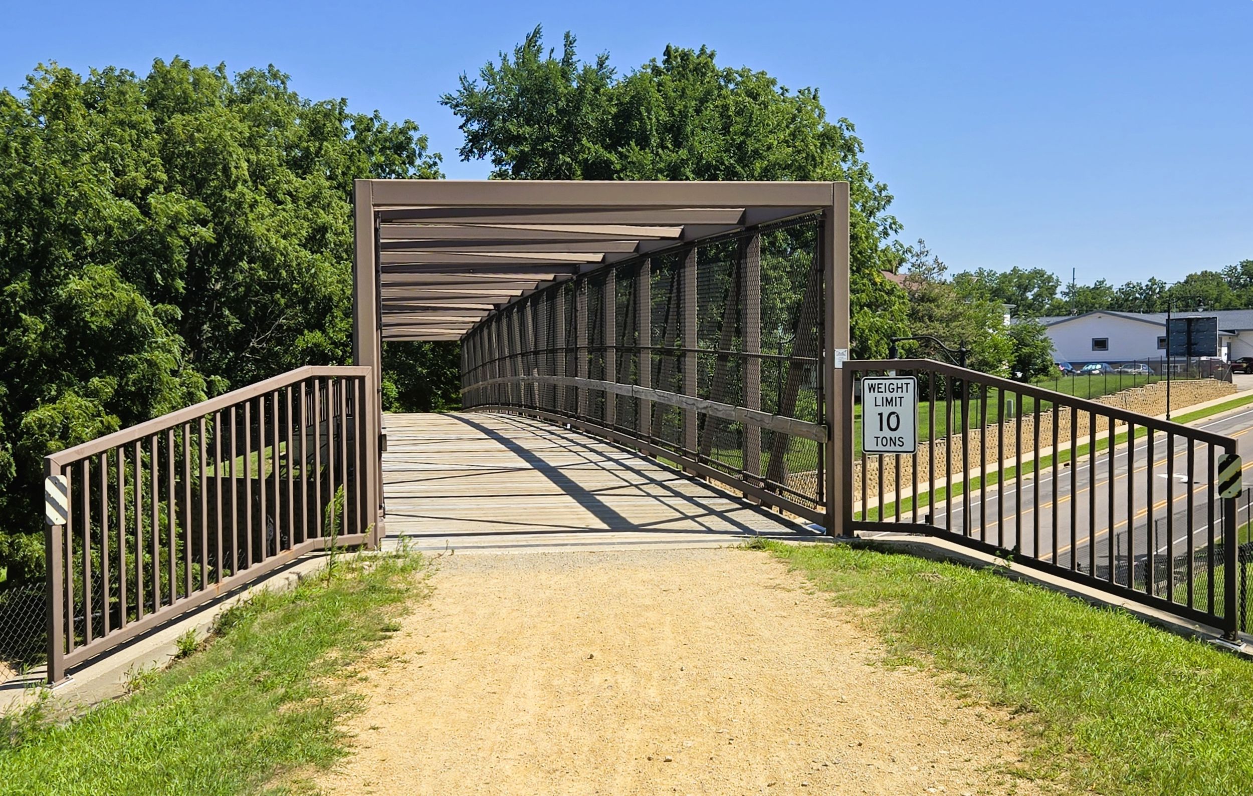
After departing the trailhead and crossing 14th Avenue, the Badger State Trail goes southwest, skirting Twinning Park. Along the way, it crosses a path leading into the park. After a half mile, the trail crosses over busy 8th Street on a trestle bridge.
Caution is required to cross the four lanes of Wisconsin State Highway 69 (7th Avenue). While signs and crosswalks are provided, there are no self-employed flashing lights to encourage vehicles to stop for trail-goers. The highway carries a lot of traffic.
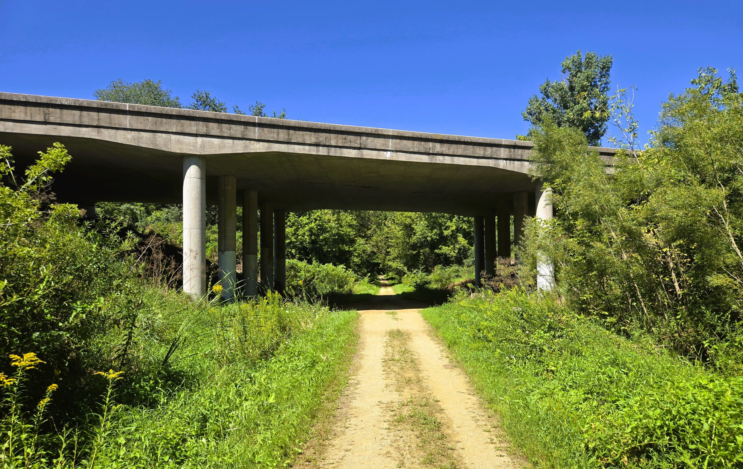
The Badger State Trail next crosses a branch of Honey Creek and runs by a factory belonging to Saputo Cheese USA, Inc. The company produces cheese and dairy products. Over the next mile, the trail crosses 17th Street, passes under a railroad bridge, crosses 21st Street, and goes under Wisconsin State Highway 69. It travels through forest in this section. The last overpass marks its departure from Monroe and entrance into a rural landscape.
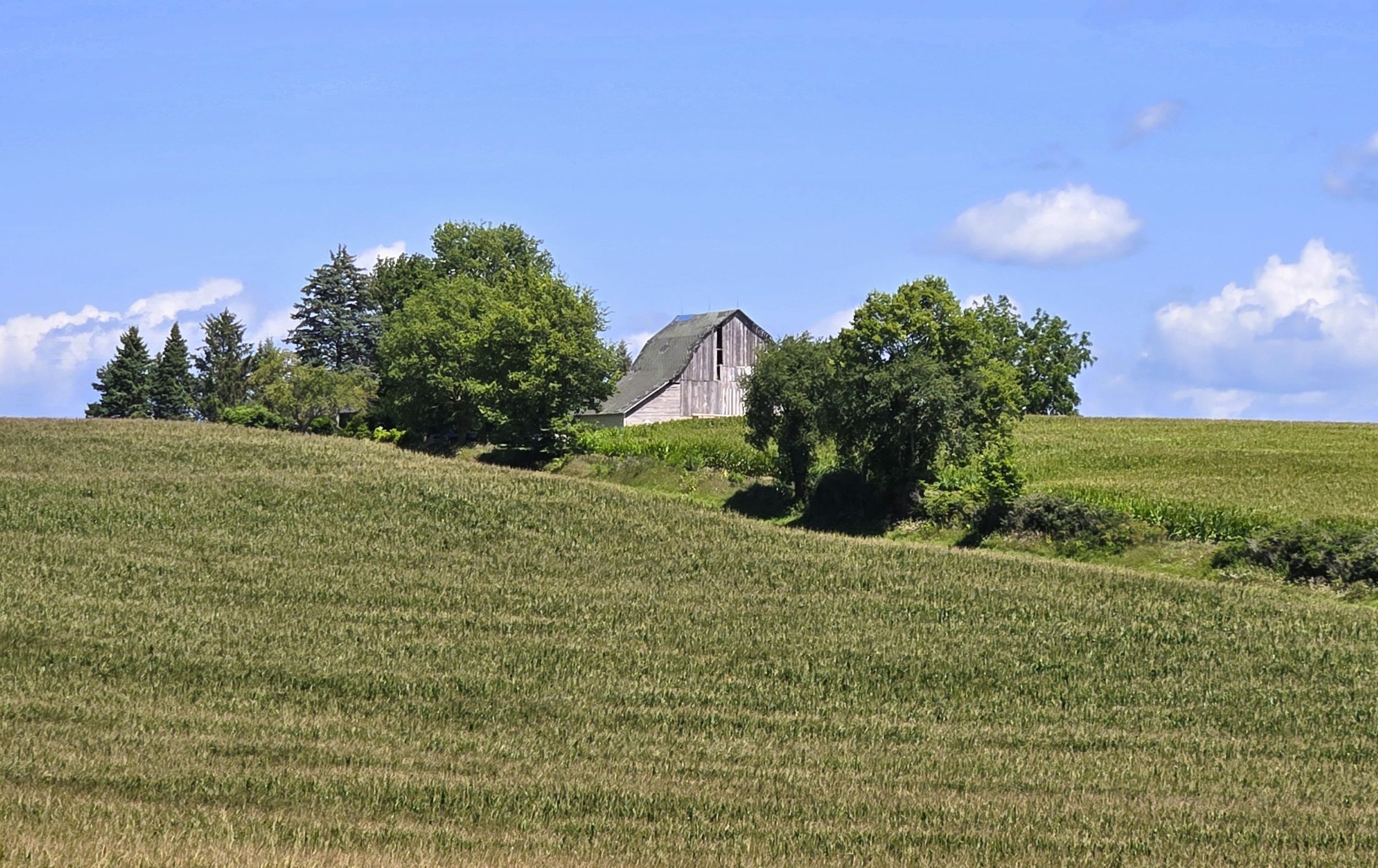
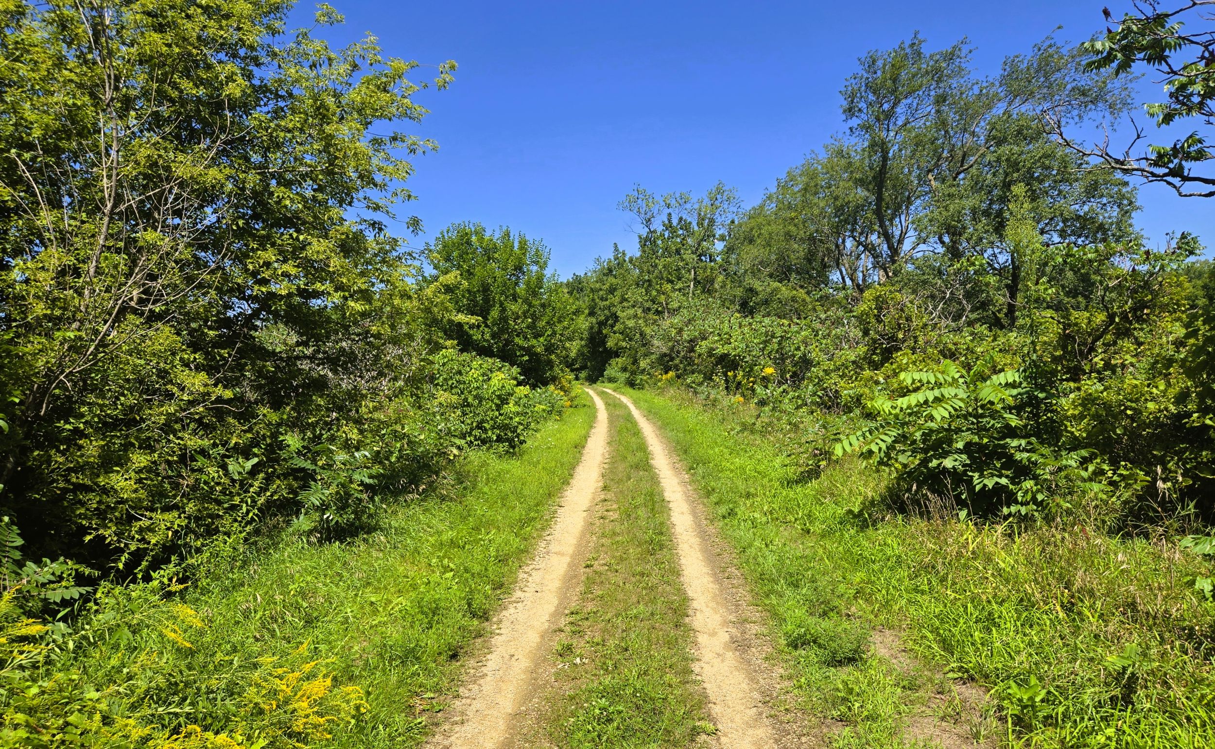
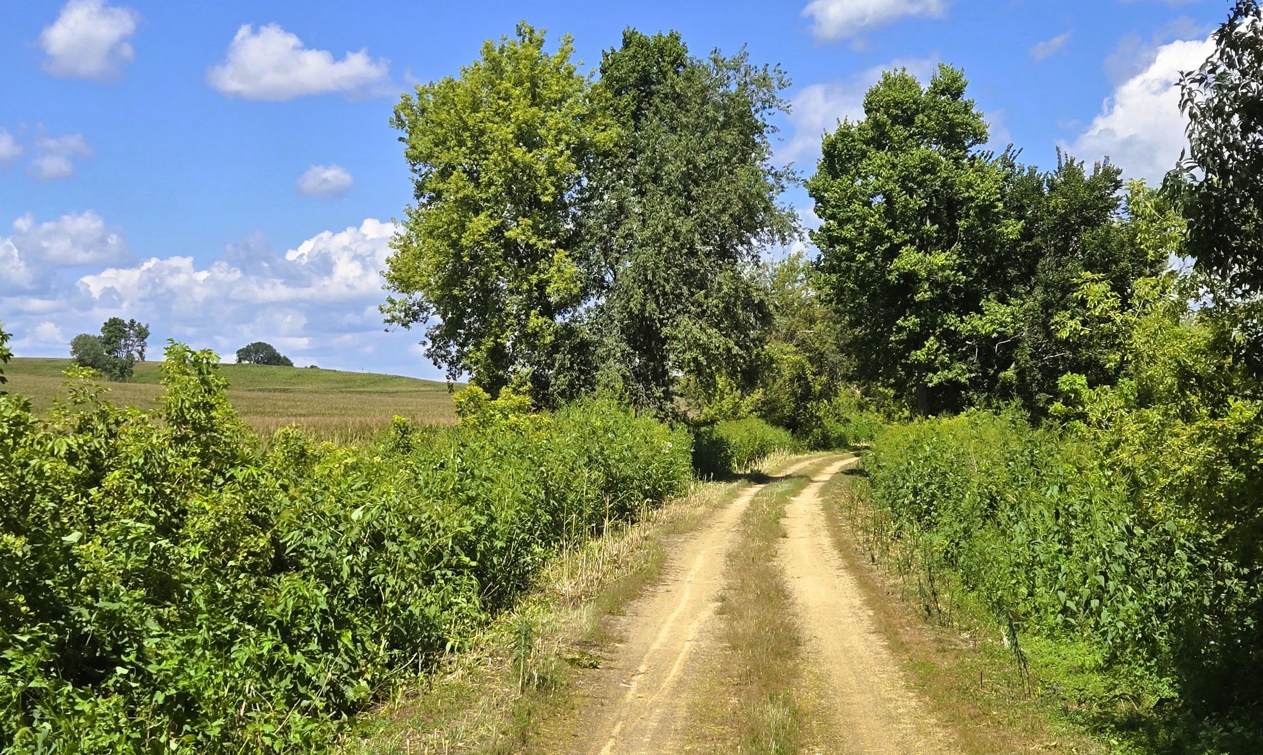
The Badger State Trail journeys through rolling farmland, hardwood forests, and scenic meadows as it moves toward the Illinois border. In most places, a wide corridor of trees and bushes keeps the trail shaded and cool during summer months. The elevation slowly descends throughout this section, which makes for relaxing biking. The grade occasionally cuts through hills, revealing rising sides of earth or rock. In other places, the trail towers high over deep ravines. Far to the east, the valley of Little Richard Creek parallels the trail.
It is 4.8 miles from the Wisconsin State Highway 69 overpass at the southern edge of Monroe to the community of Clarno. Along the way, the trail crosses Melvin, Town Center, Advance, and Shueyville Roads. It also crosses three branches of Little Richard Creek. At Clarno, the Badger State Trail crosses County Highway P. No trailhead is located there, but the parking lot of Clarno Lumber and Supply Company, Inc. may be used only during non-business hours. The small community may be reached by car from Wisconsin State Highway 69 by turning east onto County Highway P and driving 0.8 mile.
Clarno Township and the unincorportated Green County community take their name from early pioneer, Andrew Clarno. He journeyed north from Illinois to explore the area in 1827. Clarno established a farm around 1829, and returned with his family to permanently settle in 1832. During the Black Hawk War in 1832, he served in the local militia.
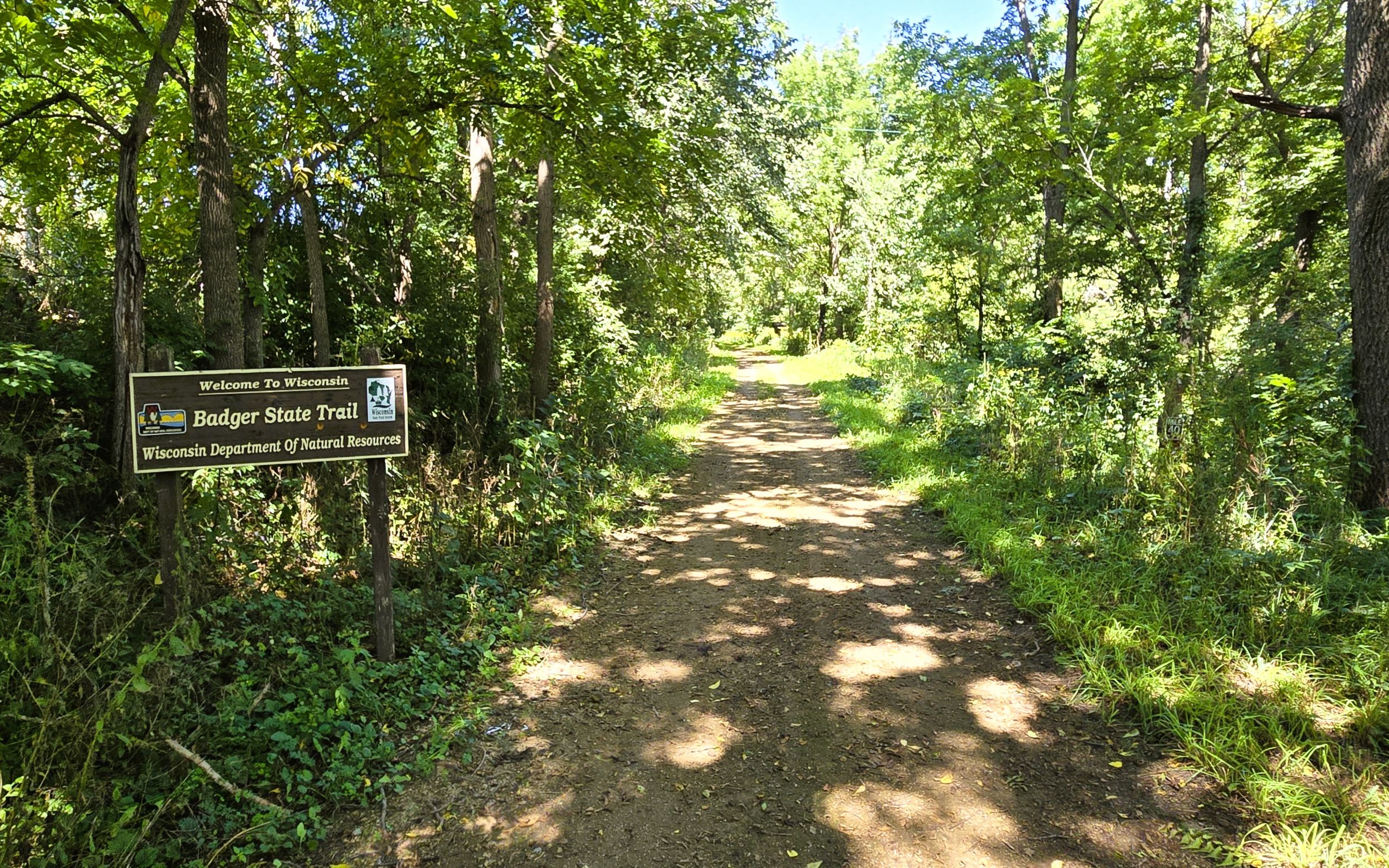
It is one mile from Clarno to the state line. The path follows Little Richard Creek and passes by rocky outcroppings. Near the trail’s end is an information kiosk, picnic table, and Badger State Trail welcome sign. The trail ends at Wuetrich/State Line Road. Because it is a narrow town road, roadside parking is not recommended there.
Instead, most bicyclists continue their ride for another 2.5 miles on the Jane Addams Trail to the village of Orangeville in Illinois. The route follows near the Little Richard Creek and travels through a landscape of farm fields and meadows. The corridor of hardwood trees and bushes continue to provide shade to trail-goers. Along the 2.5 miles, the Jane Addams Trail crosses a branch of Little Richard Creek and Illinois Route 26.
The Richland Creek Trailhead is in Orangeville. A path to the right (west) leads to the trailhead. The trailhead has park benches, toilets, and a covered picnic shelter. To reach the trailhead by car, turn east from Illinois State Highway 26 onto Orangeville Road. Drive 0.1 mile and turn left (north) on Ewing Street to the parking lot entrance.
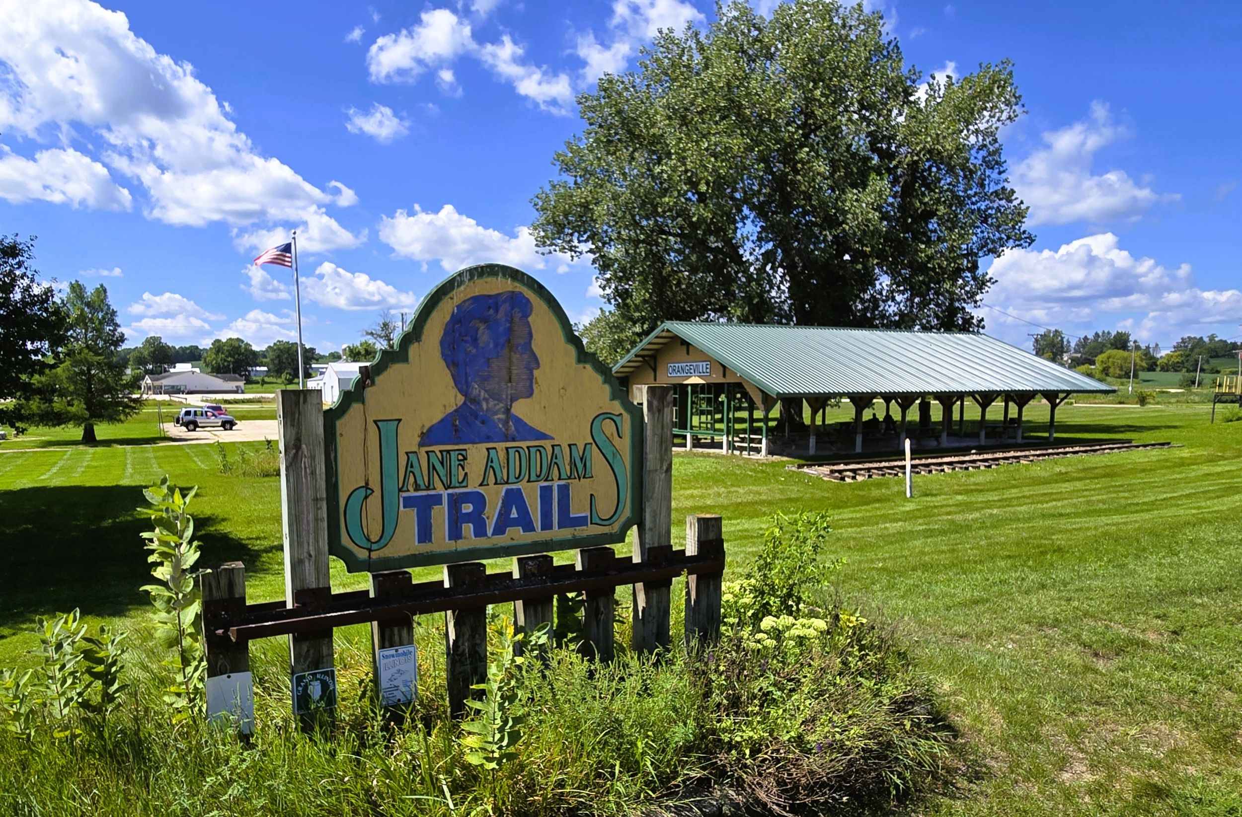
Located in Stephenson County, Orangeville was settled in 1851 and incorpated as a village in 1867. The area was originally occupied by Native Americans, particularly the Dakota who hunted nearby. John Curtis was one of the first white American settlers, arriving in 1838.
Throughout the 1830s and 1840s, farmers from New York and Pennsylvania settled around present-day Orangeville. The village saw growth with the arrival of the railroad in the 1870s. Today, several of its historic downtown buildings are listed on the National Historic Register. A gas station, convenience store, and a few taverns serve visiting trail-goers to Orangeville.
Map of trailheads and addresses along this section of the trail.
It is an enjoyable 10.7-mile ride from Monroe to the state line on the Badger State Trail, and further on to Orangeville, Illinois using the Jane Addams Trail. The ride is comfortable, as the elevation decreases along the way. Bicyclists observe a landscape of rolling farmland, hardwood forests, and charming meadows. Nearby Little Richard Creek adds to the scenery. Eager bicyclists may extend their journeying by going all the way to city of Freeport.
Trail last ridden and documented in August, 2026.