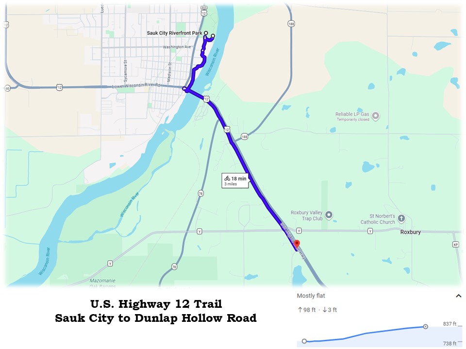
U.S. Highway 12 Trail: Sauk City to Dunlap Hollow Road
Despite being just three miles long, the northern section of the U.S. Highway 12 Trail offers scenic views of the Lower Wisconsin River Valley near Sauk City. The main trail is 2.1 miles long, with nearly another mile added when departing from Sauk City’s Riverfront Park on the Riverwalk Bicycle and Pedestrian Trail. The ride on both paths is picturesque and enjoyable.
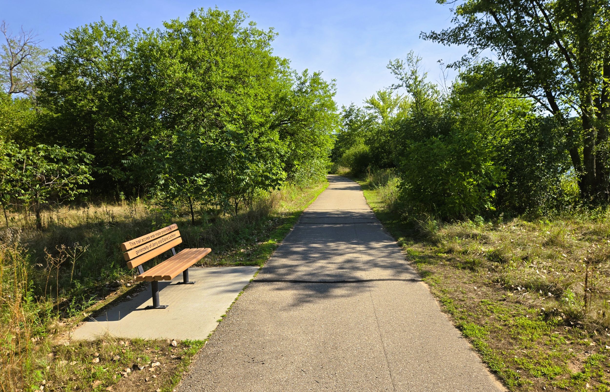
The surface of the two trails are paved in asphalt, and in very good condition. Yellow center lines divide traffic on the path. Sauk City’s Riverwalk Bicycle and Pedestrian Trail is lighted, with park benches and picnic tables along the route. Several interpretive markers along the path convey natural and human history. The U.S. Highway 12 offers fewer amenities.
Riverfront Park on Water Styreet in Sauk City works well as a trailhead. This 60-acre park includes a concession building with restrooms and drinking water, a large playground with 75-foot zip line, a splash pad, covered picnic shelter, canoe and kayak launch, hiking trails and soccer fields. The park sits on the beautiful Wisconsin River. At the top of the hill on Water Street, a trail connects the park to the Great Sauk State Trail.
To reach Riverfront Park by car, go north on Wisconsin State Highways 60 and 78 (Water Street) from the junction of U.S. Highway 12 in downtown Sauk City. Drive north a half mile and turn right (east) into the park. The first parking lot is closest to the bike path’s start.
The Riverwalk Bicycle and Pedestrian Trail heads south through a lightly wooded area, meandering near the Wisconsin River. Benches and picnic tables are found along the route. It’s worth pausing to enjoy stunning views of the river and its sandy banks. One spur trail leads to Water Street, and a second heads to a nearby parking lot.
After 0.4 mile, the path arrives at Vintage Brewing Company. This popular brewery has a prime spot on the Wisconsin River. The brewery serves hand-crafted, award-winning craft beer in a taproom, restaurant, and seasonal beer garden. Their menu offers “elevated americana” cuisine, with burgers and fried cheese curds highly recommended.
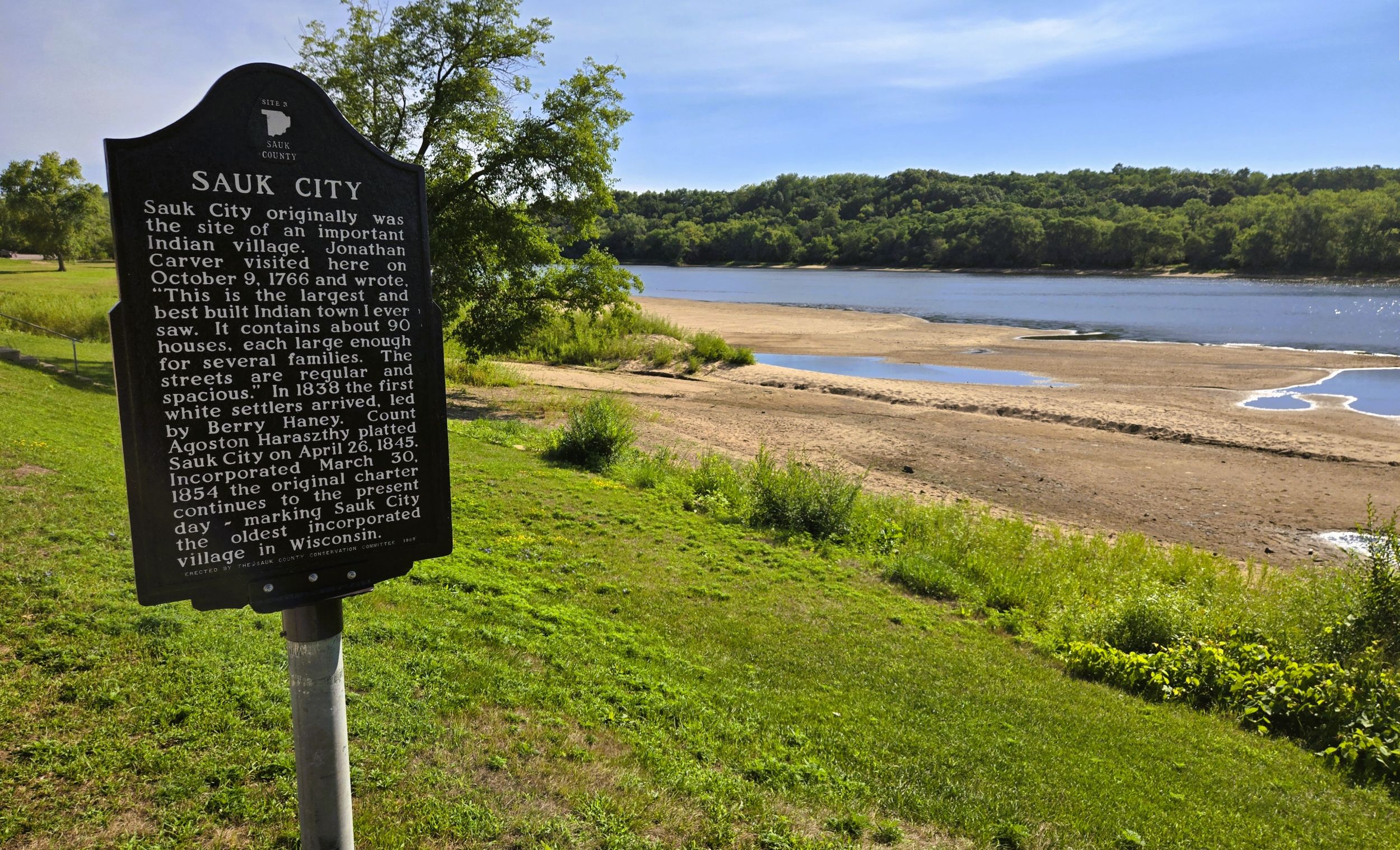
The Riverwalk Bicycle and Pedestrian Trail continues another 0.4 mile to its end on Water Street. This section of the path travels next to the river, behind Sauk City businesses. Restaurants and taverns there are glad to welcome trail-goers. A rest area here has a picnic table, viewing station, and access to the river. Two interpretive markers share the history of Sauk nation village that once existed nearby. In 1766, British explorer Jonathan Carver visited this large village and described it in his journal.
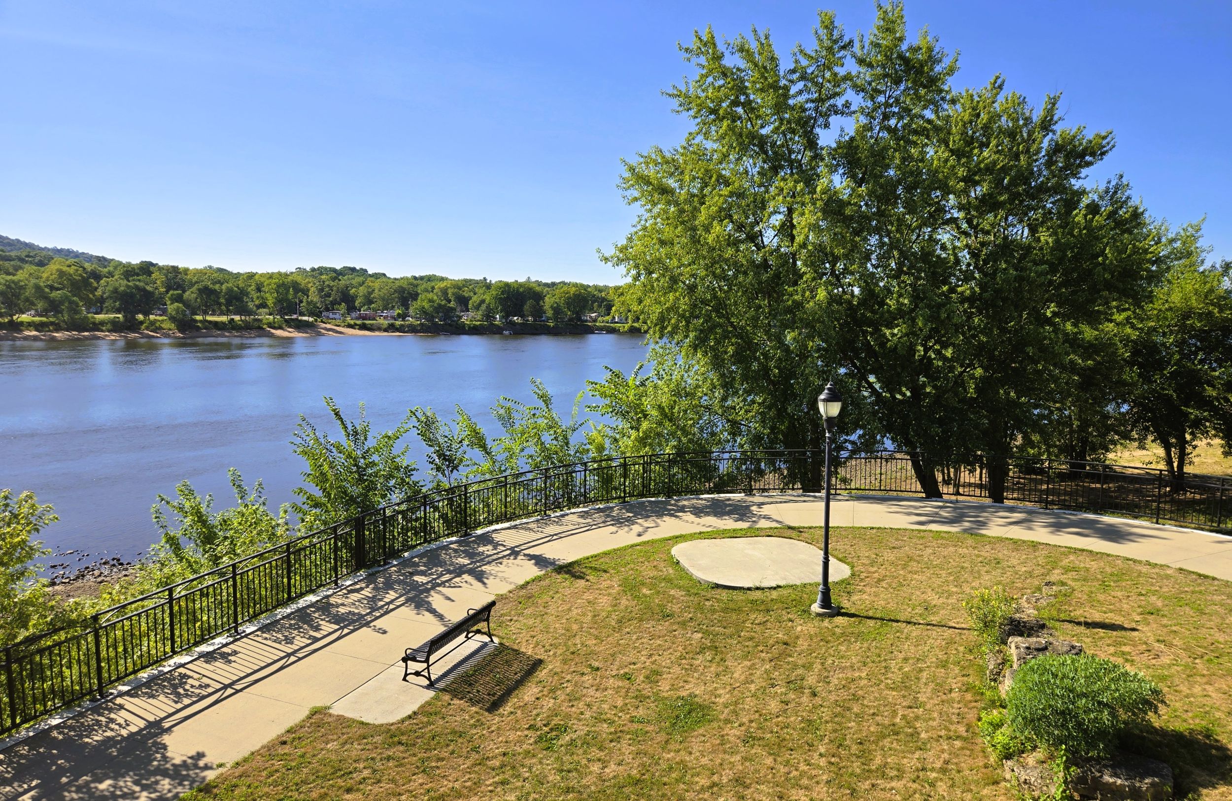
The path continues south under the U.S. Highway 12 Bridge and circles up to Water Street. The Riverwalk Bicycle and Pedestrian Trail ends, and the U.S. Highway 12 Trail begins. It heads southeast across the bridge on a wide pathway next to the highway. Pausing on the bridge provides expansive views down the Wisconsin River.
Also visible to the right (south) from the bridge is the Great Sauk Trail Bridge, also called the Wisconsin River Recreational Bridge. As of August 2026, work was underway to build this 500-foot recreational trail bridge across the Wisconsin River. When completed, it will link the Great Sauk State Trail to the future Walking Iron Trail.
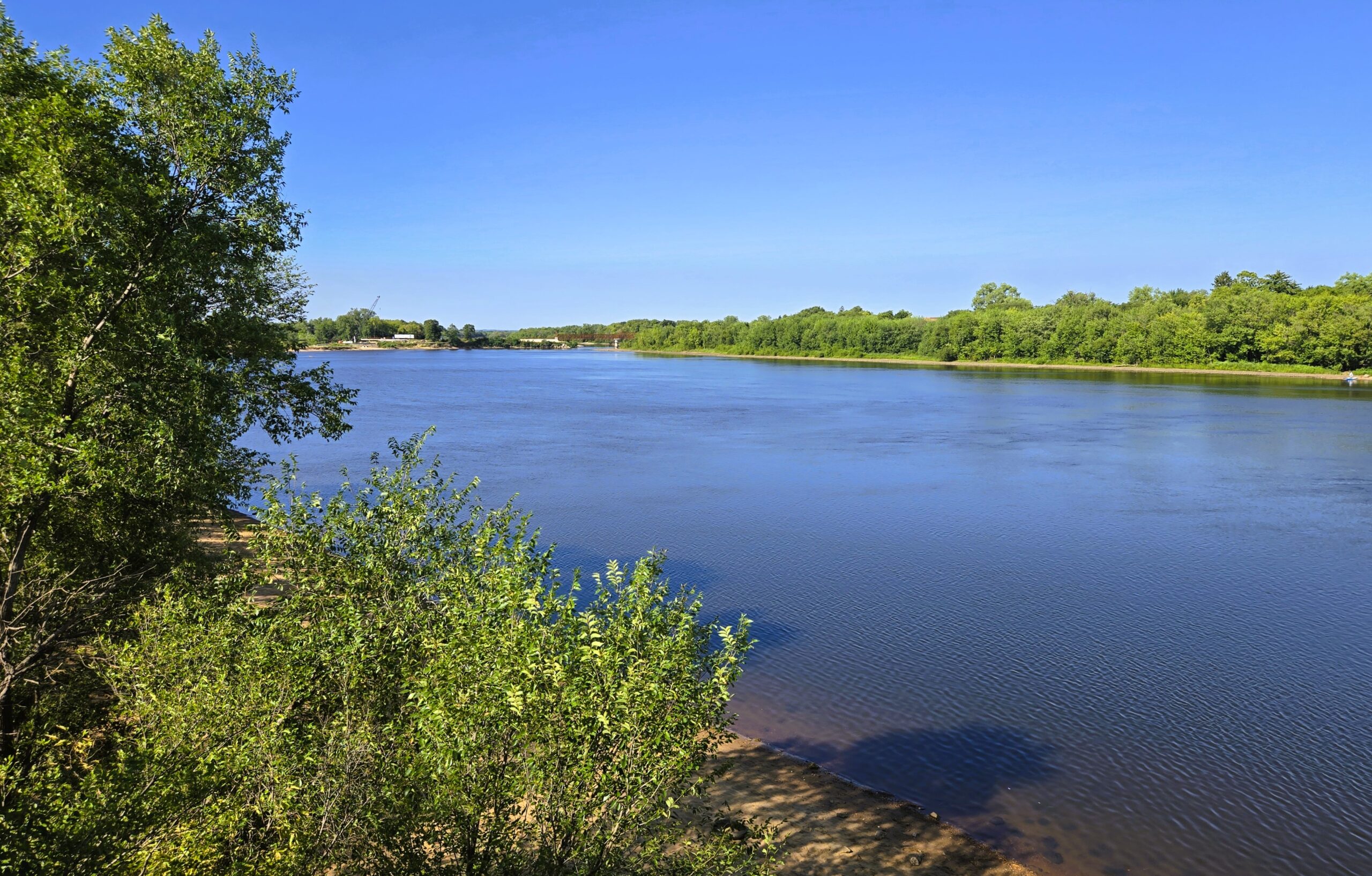
When crossing the Highway 12 Bridge, trail-goers leave Sauk County and enter Dane County. Situated on the Wisconsin River to the right (south) of the trail is Buddy’s River Resort. This campground has 140 campsites, including 100 with water and electricity hookups. There are also sites for tent camping, RVs, and seasonal rentals. Amenities include a swimming beach, playground, boat access, showers, and laundry.
From the campground entrance, the U.S. Highway 12 Trail begins a slow ascent out of the Wisconsin River Valley. Over the next 1.8 miles, it climbs 100 feet in elevation. After rising 25 feet over 0.2 miles, the trail intersects Wisconsin State Highway 78. Nearby, the Green Acres Supper Club building dates to the late 1800s. It has operated as a tavern, restaurant, or supper club since its beginning, and is still a popular dining spot today.
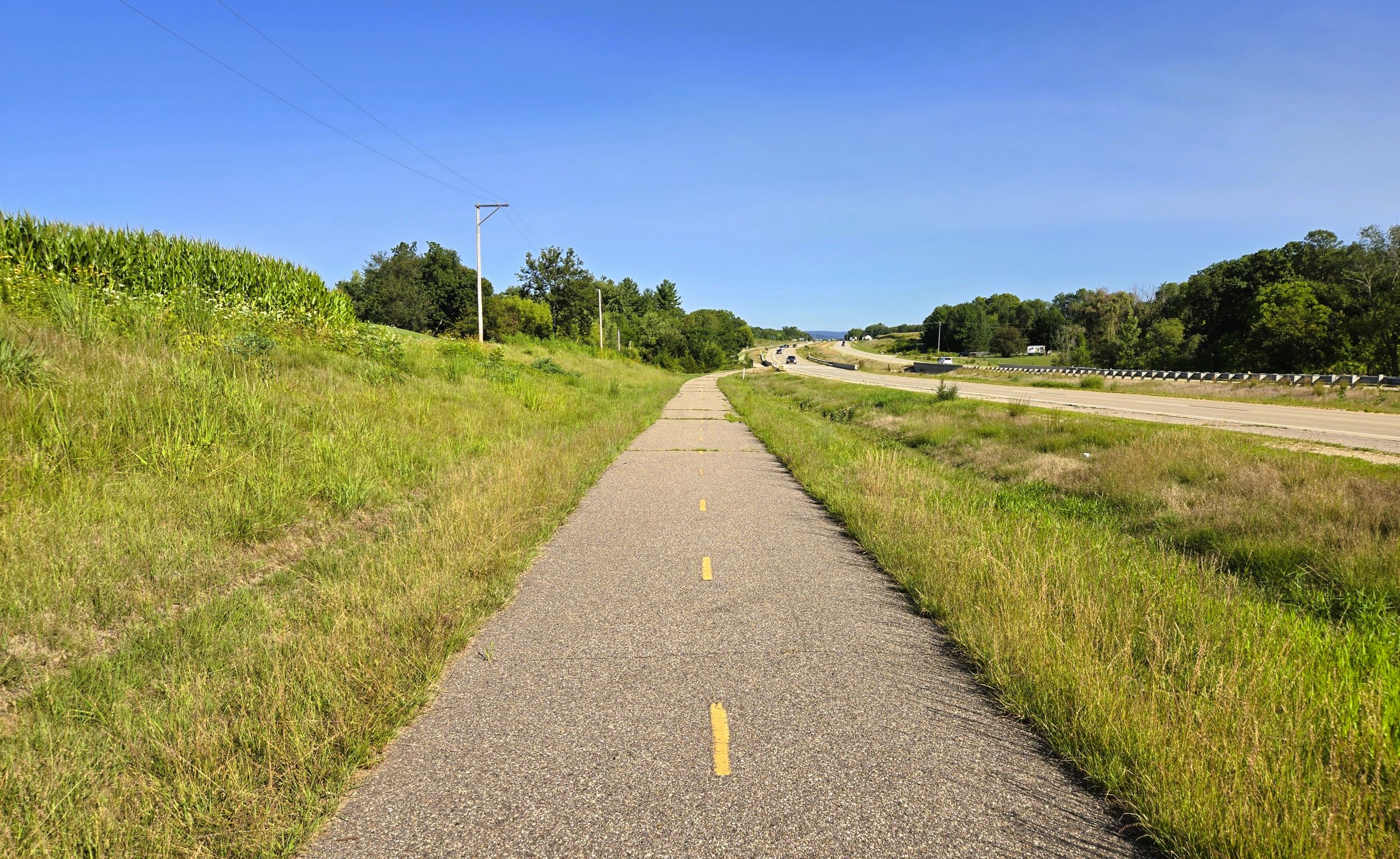
At this intersection, crosswalk signs provide protection for crossing the state highway. Then, it’s 0.3 mile and a 40-foot incline to Tetiva Road. Along the way, the trail passes a wooded neighborhood. From Tetiva Road, it’s a mile and 25 feet up to County Highway Y. Here, some trail-goers may want to leave the trail to visit the Wisconsin Heights and Black Hawk Unit of the Lower Wisconsin State Riverway. It’s reached by turning right (west,) going one mile on the county road, then heading left (south) on Wisconsin State Highway 78 for 0.4 mile.
In July 1832, the Battle of Wisconsin Heights was fought on the northern edge of this 815-acre reserve. The site is a dry, cactus and sand-covered ridge that drops down into wet marshlands. Led by Chief Blackhawk, members of the Sauk Nation came through here as they attempted to flee toward safety on the west side of the Mississippi River. At this battle site, Blackhawk and around 100 warriors held back 750 militia volunteers. They persisted long enough for 700 women, children, and elderly tribal members to escape across the Wisconsin River. Today the battlefield is listed on the National Register of Historic Places.

Returning to the U.S. Highway 12 Trail, the final 0.3 mile of the path travels through open farm country. It’s only a ten-foot incline from County Highway Y to the trail’s end at Dunlap Hollow Road. The pathends abuptly there, with no trailhead amenities. While it is a climb to reach the path’s end, returning to Riverfront Park is an easy downhill ride.
Sauk City has a lot to offer visiting trail-goers. In addition to Vintage Brewing Company, there are other notable places to enjoy food and beverages. In Sauk City, Culver’s is the fast food chain’s very first restaurant. Nearby, Carr Valley Cheese Store offers award-winning cheeses and tasty curds. Outside of town, Wollersheim Winery and Distillery sits on a scenic hillside. Historic buildings and a vineyard from the 1840s complete the backdrop for a wine garden, bistro, tours, and tastings. Wine and spirits are also available for purchase.
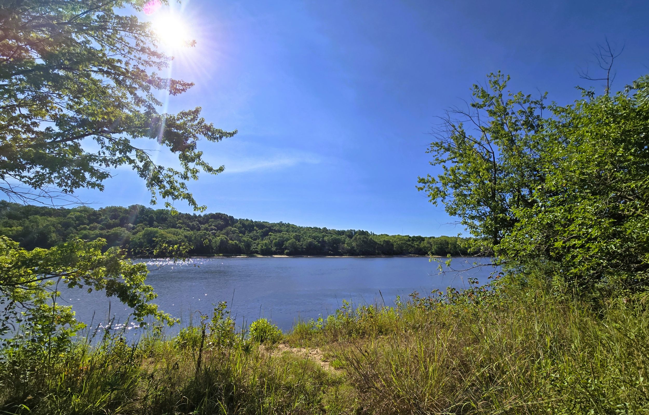
The village of Sauk City has an interesting history. After the departure of the Sauk Nation in 1780, and members of the Ho-Chunk Tribe in the 1830s, land on the Sauk Prairie became available for sale. Hungarian nobleman Agoston Haraszthy purchased property on the Wisconsin River in 1840. He and business partner Robert Bryant started the town of Haraszthy, which by 1852 was called Sauk City. It was incorporated as a village in 1854, and claims to be the oldest incorporated village in Wisconsin.
Today, the Riverwalk Bicycle and Pedestrian Trail and southern section of U.S. Highway 12 Trail offer an excursion with amazing scenery and breathtaking views of the Wisconsin River. The route is also surrounded by meaningful history and interesting attractions. Although the trail is short in distance, the ride offers a delightful experience.
Trail ridden and documented in August, 2026.
Map of trailheads and addresses along this section of the trail.