Wild Goose State Trail: WI State Highway 60 to Burnett
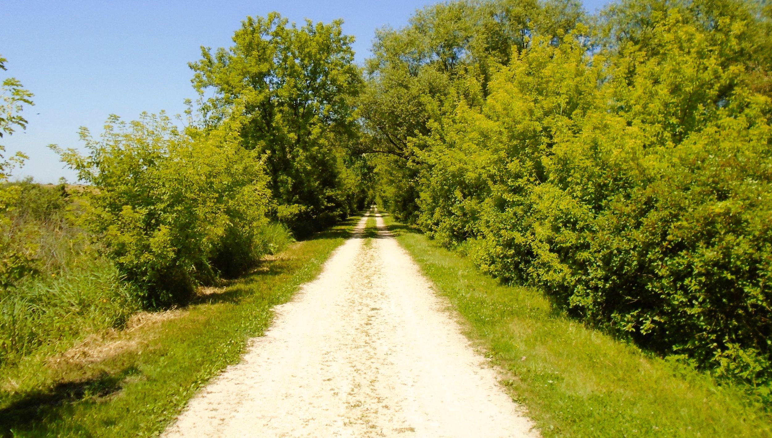
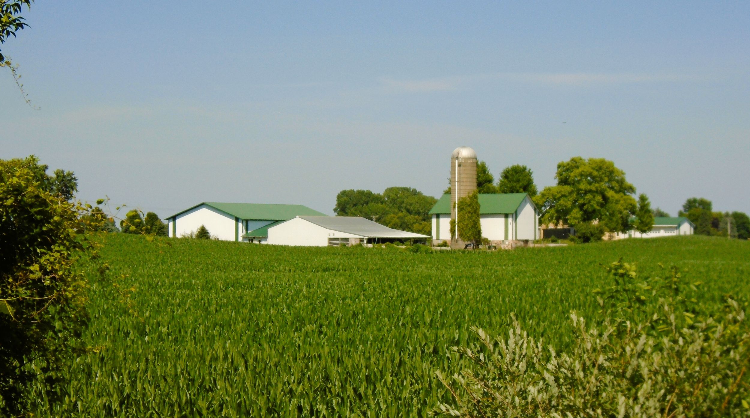
The Wild Goose State Trail offers a delightful ride for 11.6 miles through rural Dodge County. The path travels north from Wisconsin State Highway 60 near Clyman to Burnett. The scenery is mostly agricultural, with areas of marshland. Several tractor paths connecting adjacent farm fields bisect the trail, and are marked with caution signs. A forest of hardwood trees and thick underbrush provides a shaded corridor along much of the route. It is sparse in some places, allowing for better views of the neighboring countryside.
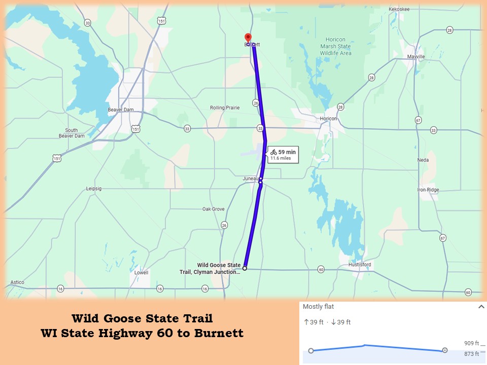
The surface of the Wild Goose State Trail is crushed limestone, in good condition. There is one section of paved asphalt in Juneau. The trail’s elevation is quite level, rising and falling about 35 feet over the entire distance of this section. The route travels straight north, with no major turns. Caution is required when traversing a railroad crossing and intersecting a busy state highway. Trailside camping is available at Wild Goose Park in Juneau.
The path’s southern trailhead is 2.2 miles north of Clyman on Wisconsin State Highway 60. It is 1.6 miles east of the intersection with Wisconsin State Highway 26. From Hustisford, the trailhead is 5.7 miles west. The trailhead is on the north side of the highway.
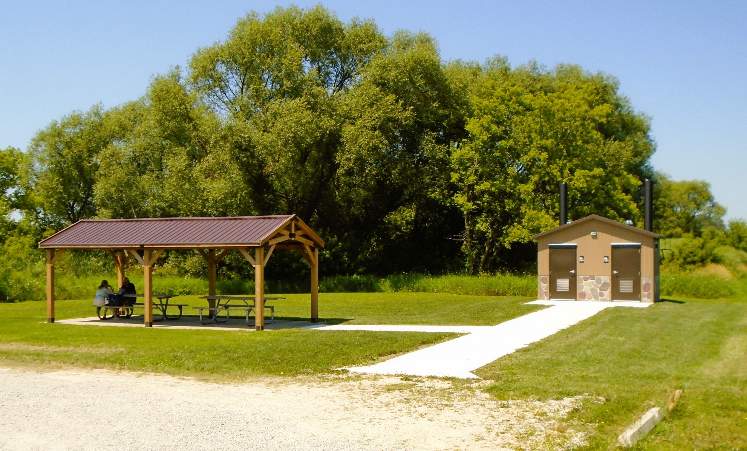
Amenities at the trailhead include a parking lot, picnic shelter, garbage cans, information kiosk, and vault toilets. The crushed limestone path begins on the northwest west corner of the parking lot. A sign at the trail’s start reveals it is a 34.8-mile ride to Fond du Lac. The path runs north between a low ridge to the west and Dead Creek to the east. The creek turns away from the trail after 350 yards, but the ridge continues for 2.5 miles. Meadows and farm fields cover the ridge, while low marshland expands out to the east.
Within the first half mile of the path, two separate yellow caution signs inform trail-goers of an upcoming shooting range. The range belongs to Juneau Rod and Gun Club. It is situated on the ridge to the left (west), 0.8 mile north from the trailhead. There is no threat to trail-goers, but gunfire is often heard on weekends, especially in autumn.
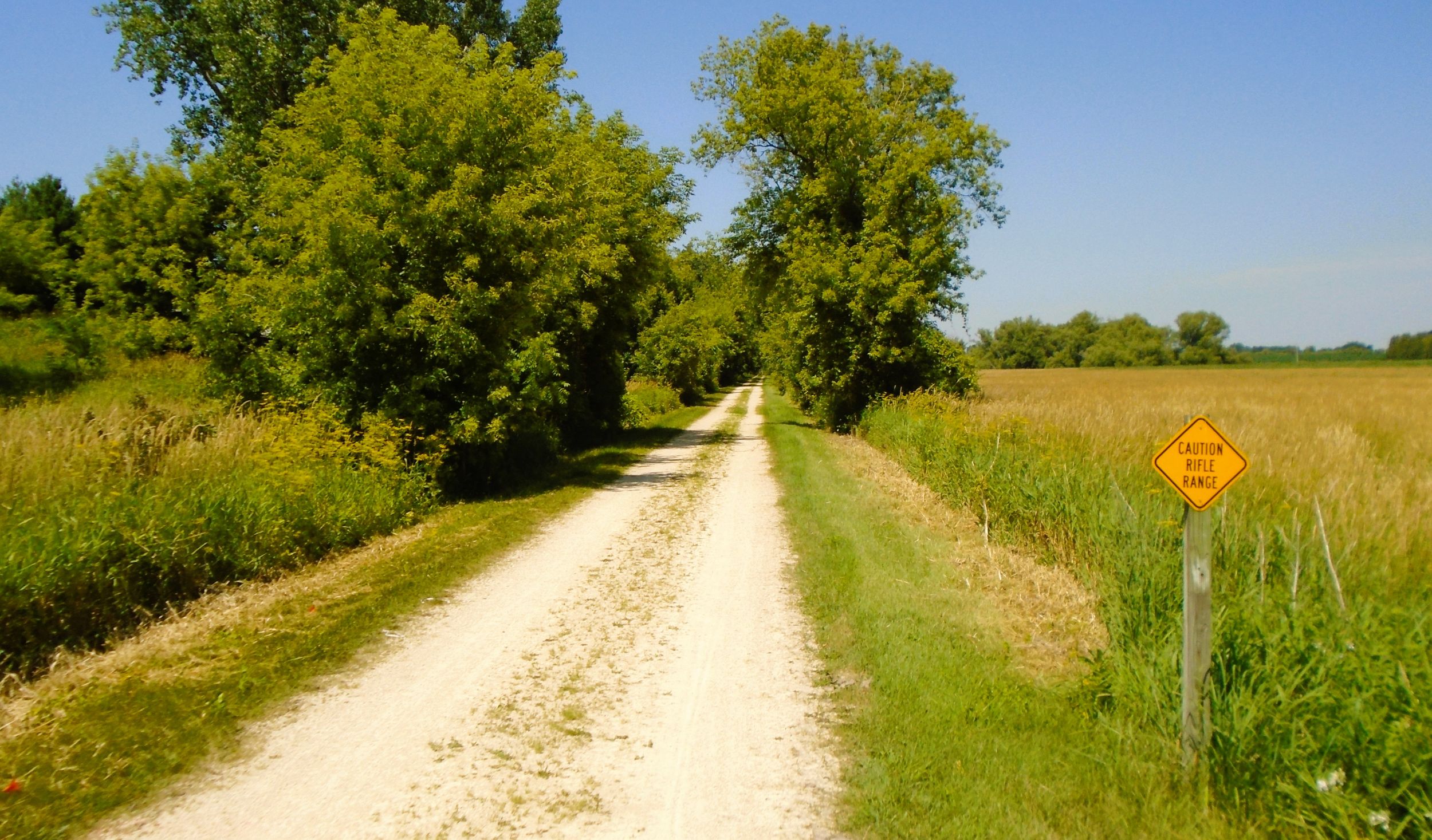
Paralleling the bicycle trail is a grassy path for horseback riders. The wide path travels next to the main trail, occasionally intersecting it in order to change sides. The two paths converge to cross over roads and bridge streams. This 14-mile horse path runs from the southern trailhead, past the town of Burnett, and ends at Pautsch Road.
Three miles from the start of of the trail is the first road intersection. A half mile south of Shady Lane, a branch of Dead Creek emerges again to the right (east.) It flows south through marshland and alongside the trail. It begins a 1.5 miles further north, near the city of Juneau. It is four miles from the start of the Wild Goose State Trail to Juneau. The trail moves past the city’s waste water management facility, makes a slight bend, and travels by the large factory complex of Sensient Technologies Corporation. Sensient makes colors, flavors, and fragrances used in food, beverages, and pharmaceuticals.
After maneuvering around the factory, the trail advances through Juneau, crossing three streets. They are County Highway DJ (Oak Grove Street), Oak Street, and County Highway S (E. Center Street). At the last intersection is an information kiosk. The trail surface is paved asphalt from County Highway S north for a half mile to County Highway DF.
From County Highway S, it is 0.3 mile to Juneau’s Wild Goose Park, located on the right (west) side of the path. Wild Goose Park in Juneau serves as an excellent trailhead. It has a picnic shelter, drinking water, flush toilets, playground, and athletic fields. The park has ten trailside campsites for hikers and bikers. Campers self-register and pay using envelopes at the picnic shelter. The cost is $20 per night. Campsites have garbage cans but no electricity, water, or picnic tables. Restrooms, water, and picnic tables are at the nearby shelter.
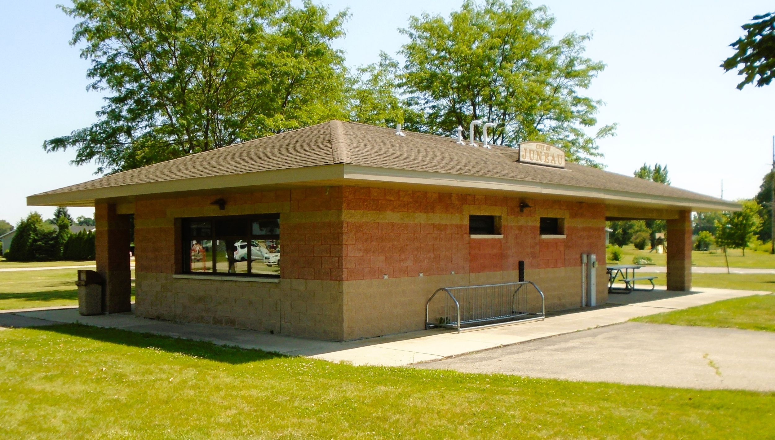
The address of Wild Goose Park is 401 N. Hyland Street in Juneau. To reach the park by car, turn east from Wisconsin State Highway 26 (N. Main Street) by the Land Resources and Parks Department building onto County Highway S (E. Center Street). Drive 0.3 mile and turn left (north) on N. Hyland Street. The park entrance is on the left (west) side of the road.
Named “Victory” by settlers in 1845, Dodge County’s seat of government was later renamed for Paul Juneau, the son of Solomon Juneau. The elder Juneau was a French-Canadian fur trader who founded Milwaukee. His son, Paul Juneau, was born in 1822 near Milwaukee, and later settled in Dodge County. Along with his father, who settled in Theresa, the two pioneers served as liaisons between local Native Americans and white American and European settlers. Paul Juneau died at age 36 in 1858. His grave is in the Juneau Cemetery. Juneau was incorporated as a village in 1865 and as a city in 1879.
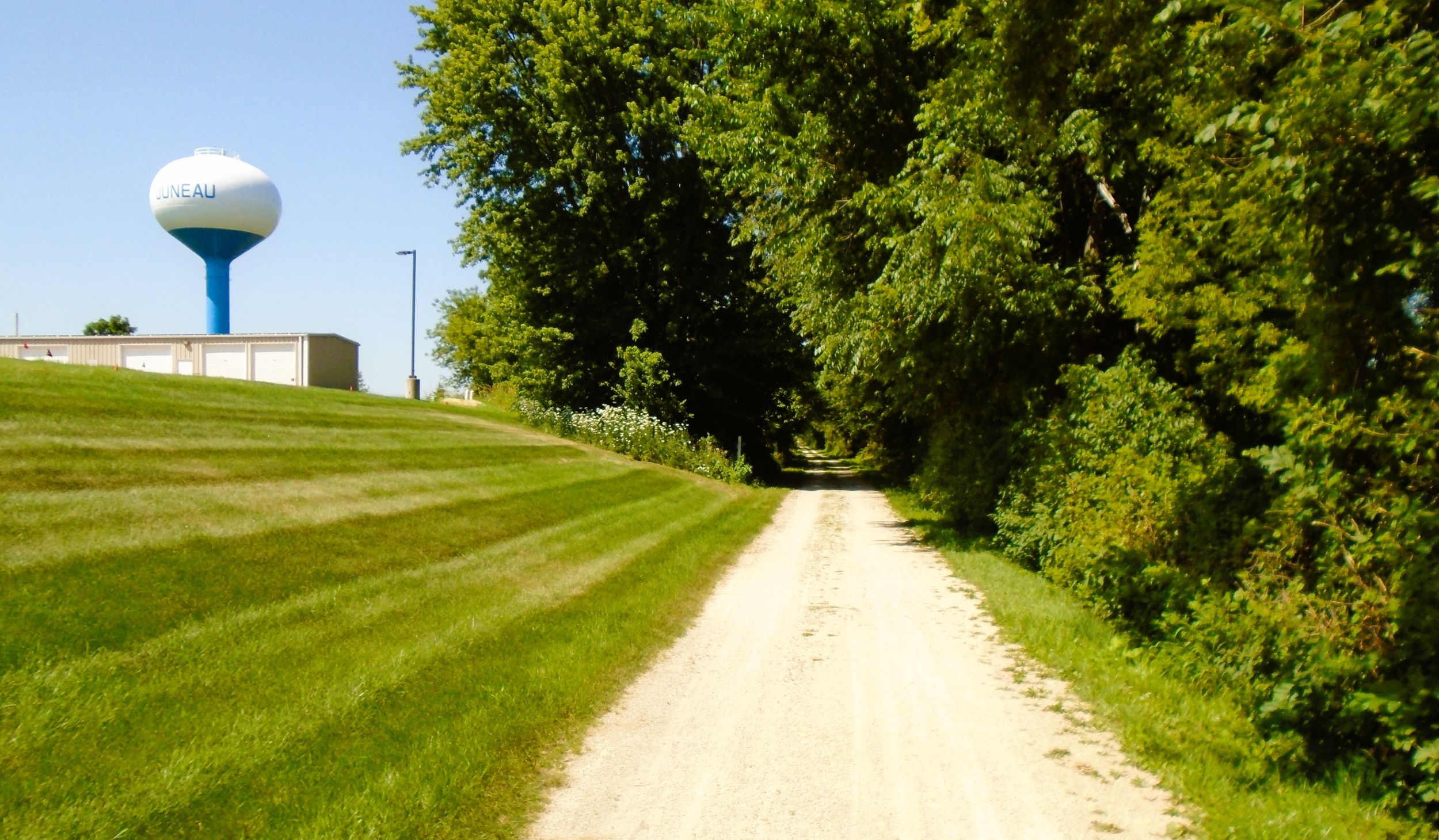
In addition to Wild Goose Park, Juneau City Park is another place to relax. It is west of the trail and south of County Highway DJ (Oak Grove Street). Juneau has a few gas stations and convenient stores not far from the path. A variety of taverns and restaurants in the downtown area serve food and beverages. The city also has a grocery store.
Returning to the Wild Goose State Trail, the paved path ends at the northern edge of Juneau after crossing County Highway DF. The surface returns to crushed limestone. A half mile north of the intersection, the trail passes the Dodge County Cemetery. The obscure graveyard is located to the left (west), and is difficult to notice due to vegetation growing by the trail. 59 memorials are placed in the grassy lot, marking the final resting place of residents at the former Dodge County Asylum and Poor Farm. Both facilities were located nearby in Juneau. Interments were made between the 1860s and 1910s.
After passing the cemetery, Wisconsin State Highway 26 merges in and travels along the left (west) side of the Wild Goose Trail for three miles. While the highway is not always visible, traffic is easily heard. After passing the Dodge County Airport and crossing St. Ann Road, a trailhead appears to the left (west), at the intersection of Wisconsin State Highways 26 and 33. A large parking lot, information kiosk, picnic tables, and vault toilets are found there.
Continuing north, bicyclists should use caution when crossing Wisconsin State Highway 33. There are no self-employed flashing lights. A half mile north of the state highway, the Wild Goose State Trail moves through Minnesota Junction. This community was named for the place where an east-west Milwaukee Road line (expected to extend to Minnesota) intersected the north–south Chicago and North Western Railroad line. The north–south line became the Wild Goose State Trail, but the east–west line is still operated by the Wisconsin and Southern Railroad. Bicyclists should exercise caution crossing the tracks.
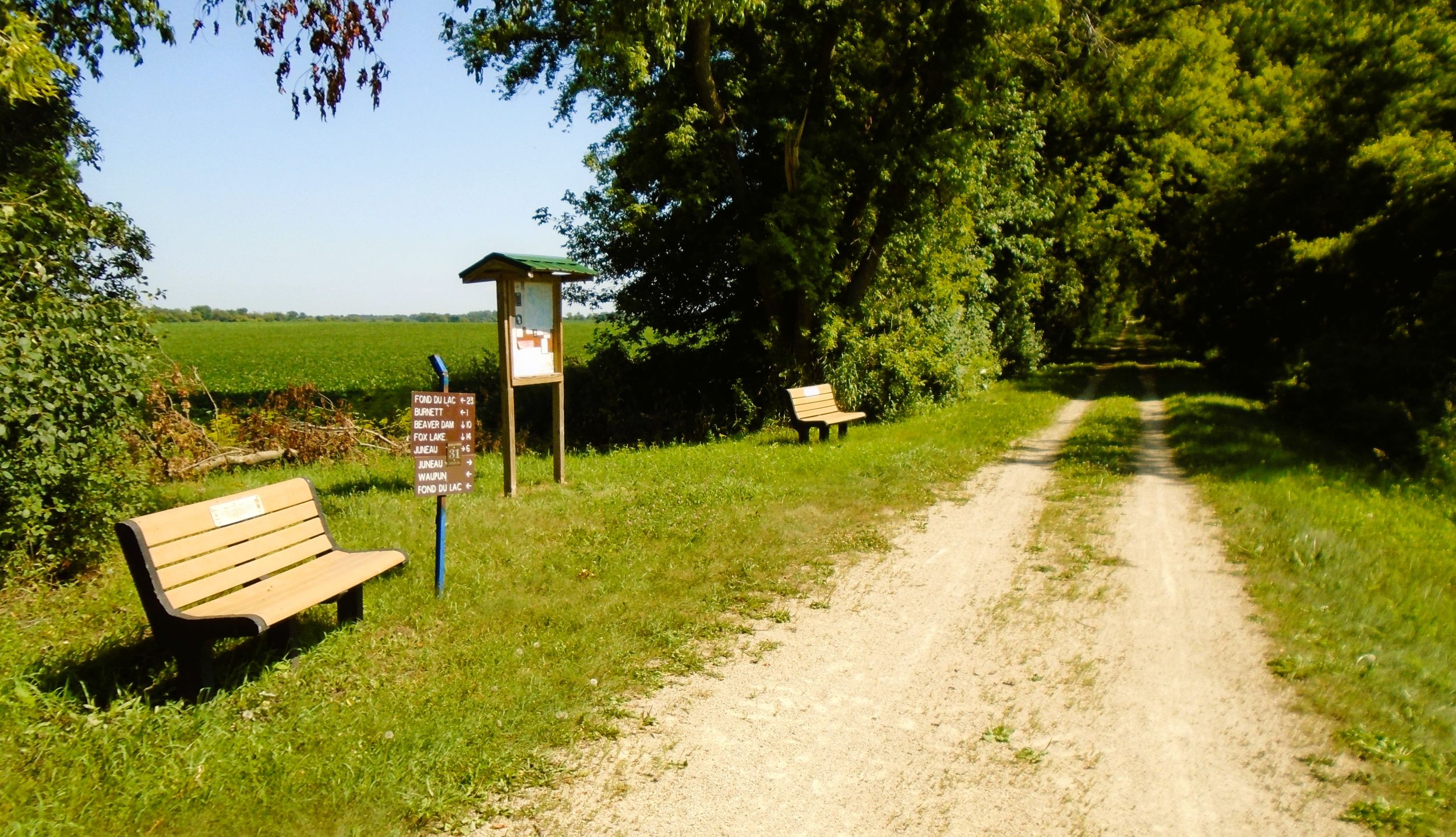
There is a trailhead in Minnesota Junction. It has a parking lot and no other amenities. It is accessed from the trail by turning left (west) on North Street. This is 175 yards south of the railroad crossing. Follow North Street 150 feet, and turn right (north) on Maple Street. The parking lot is on the right (east) side of Maple Steet after 250 feet. To reach it by car, drive north a half mile on Wisconsin State Highway 26 from Wisconsin State Highway 33. Turn right (west) on North Street, and then left (north) on Maple Street.
It is 1.4 miles on the Wild Goose State Trail from Minnesota Junction to County Highway E. Along the way, the path crosses Prospect Road. A trailhead is on the north side of the county road, 0.2 mile east of Wisconsin State Highway 26. The trailhead only has a grassy parking area. A sign there directs trail-goers to Nitschke County Park, another 0.2 mile east of the trailhead on County Highway E. The park has 39 preserved animal effigy, conical, and linear mounds. Archaeologists believed they were constructed between 800-1100 AD.
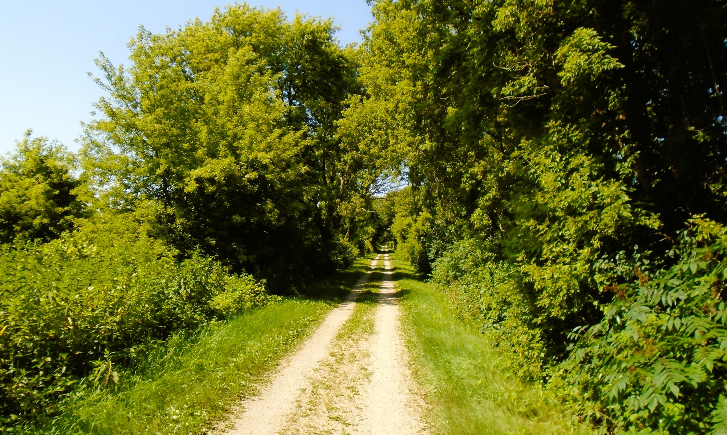
Back on the Wild Goose State Trail, the path continues north for two miles to Burnett. In this distance, it crosses Swan and Teal Roads. The approach to Burnett is marked by a chain-linked fence and abandoned railroad tracks to the right (east). Tall grain elevators stand next to the tracks. They belong to Peachey Brothers Elevator Company. The Wild Goose State Trail turns left (west) and crosses a creek over a small bridge to Depot Street. Water from an artesian spring flows from a pipe at the corner of Depot and Maple Streets.
The trail continues north on Depot Street for 500 feet to Main Street. Trail-goers interested in viewing or tasting cool water from another artesian spring may turn right (east) and proceed on Main Street towards Peachey Brothers grain elevators. On the east side of the railroad tracks is a public artesian spring. Its clear, cool water flows out of a long four-inch pipe. Dodge County has several of these artesian springs. This one in Burnett flows from the Cambrian-Ordovician (Sandstone) Aquifer, one of Wisconsin’s topmost and most extensive aquifers. Local residents have been drawing water from the spring for decades.
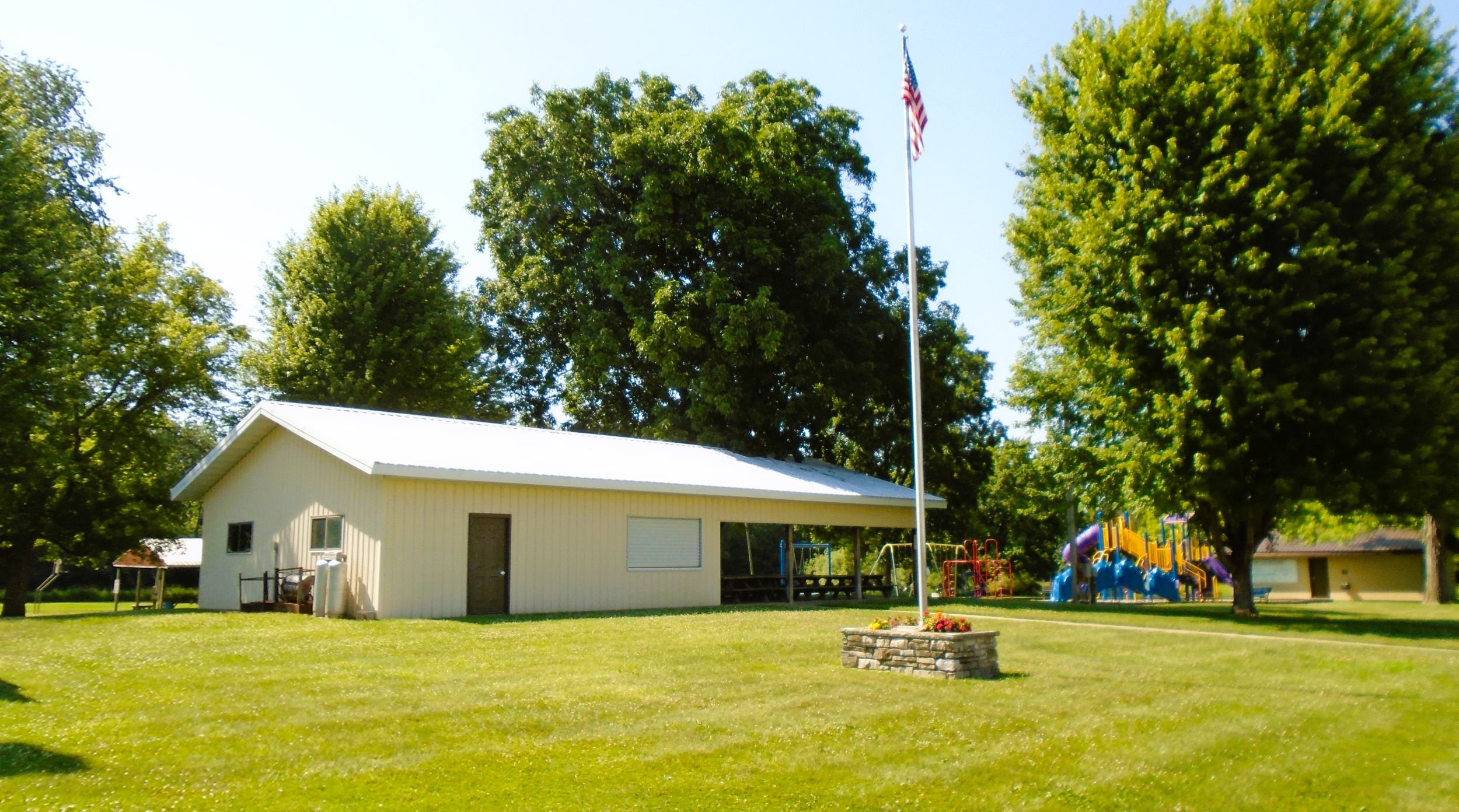
Returning to the Wild Goose Trail, Fireman’s Park in Burnett serves as a suitable trailhead. From Depot and Main Streets, go left (west) on Main Street for 0.3 mile to the park. Caution is required when crossing Wisconsin State Highway 26. The park is located to the right (north) of Main Street, next to the town hall and volunteer fire department.
Fireman’s Park has a picnic shelter, flush toilets, playground, and athletic field. The park sits next to babbling Spring Brook. To reach it by car, take County Highway B east from U.S. Highway 151 in Beaver Dam. Drive 5.5 miles to Wisconsin State Highway 26. Turn left (north) and go 0.6 miles to Main Street. Turn left (west) and drive 200 yards to the park.
Map of trailheads and addresses along this section of the trail.
The community of Burnett is the center of the township of the same name. It was named for Ellsworth Burnett, a government surveyor who was killed in this vicinity by Native Americans in November of 1835. The small hamlet has three taverns, two that serve food.
The Wild Goose State Trail journeys for 11.6 miles from Wisconsin State Highway 60 north to Burnett. Along the way, it passes through Juneau and Minnesota Junction. About half of the route travels next to Wisconsin State Highway 26. Yet, the highway is rarely visible due to the corridor of trees and bushes that line the path. The surface of the trail, its level grade, and the beautiful scenery all contribute to a pleasant and comfortable ride.
Trail last ridden and documented in July, 2026.