Fox River State Trail: Ott Road to Greenleaf
The Fox River State Trail from its southern terminus on Ott Road to Greenleaf offers an enjoyable bicycle ride. From Ott Road in Calumet County, the path travels 10.6 miles to the village of Greenleaf in Brown County. Much of the route journeys next to Wisconsin State Highways 32-57. The landscape surrounding the trail is mostly agricultural, with pockets of hardwood forests and some low wetland areas. This part of the path sees little traffic.
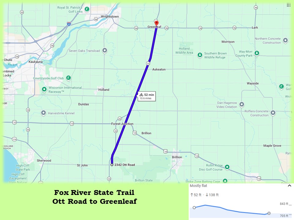
The surface of the Fox River State Trail is crushed and compacted limestone, in very good condition. Horseback riding is permitted on the trail in Calumet County, for 5.4 miles from Ott Road to Man-Cal Road. Cyclists should watch for hoof marks and horse dung in this section. Even with equistrian usage, the trail surface remains in good condition. It’s a comfortable ride north, due to a descent of nearly 150 feet over 10.6 miles. The trail from Center Road to Ott Road is closed during the nine-day gun deer hunting season.
When biking north on the trail, a logical place to start is at its beginning on Ott Road. The trailhead is two miles north of Hilbert in Calumet County. It has no amenities and is only a small, road-side parking area that accommodates four vehicles. A small drive-in spot across the road from the trail may also serve as a parking spot. Roadside parking is otherwise restricted around the trailhead, with “no parking” signs posted along Ott Road.
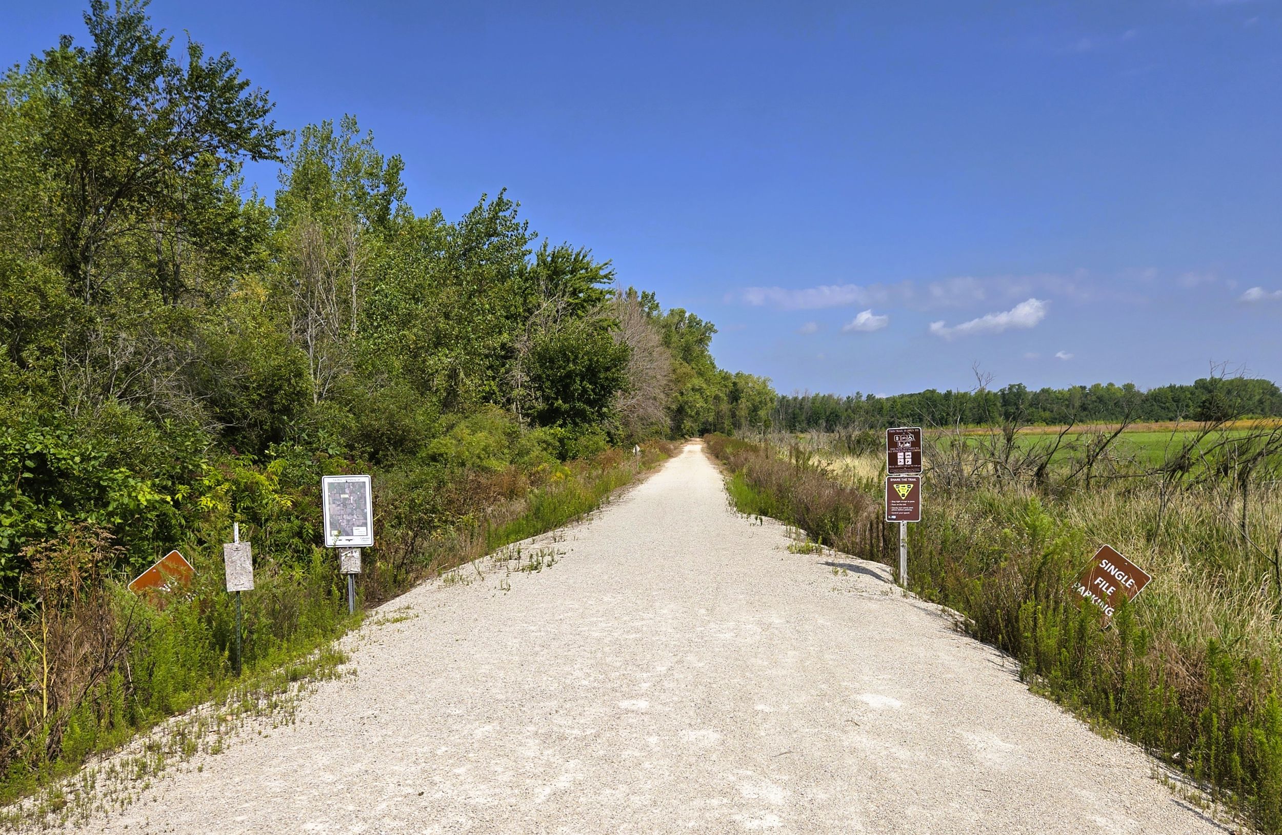
It is not difficult to access the trailhead on Ott Road by car. Turn east from Wisconsin State Highways 32-57 onto Ott Road. The intersection is two miles north of Hilbert and three miles south of Forest Junction. Once on Ott Road, drive 350 yards to the trail’s start.
Given the popularity of the Fox River Trail, it is disappointing that there is not a larger parking lot with amenities at its southern trailhead. The next trailhead is a simple parking lot, and found in Forest Junction, 3.7 miles north. To access it by car, turn east on County Highway K from Wisconsin State Highways 32-57. The intersection is 1.5 miles north of Forest Junction. County Highway K immediately crosses the trail. Turn right onto Holmes Road, and drive 0.5 mile south before turning right (west) into the parking lot.
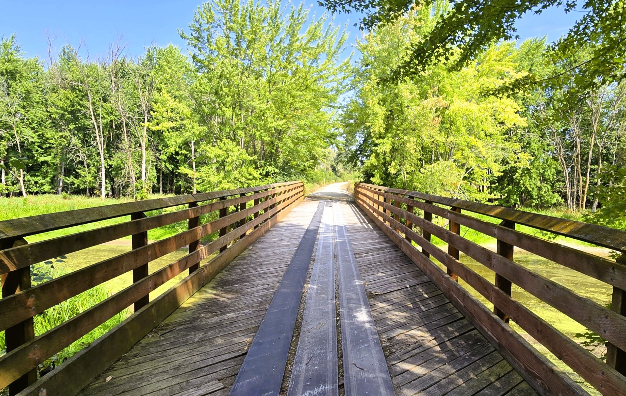
From Ott Road, the Fox River State Trail travels north, traversing a wetlands area. After a half mile, it crosses the north branch of the Manitowoc River. Land on the west side of the trail belongs to Brillion Conservation Club, with “no trespassing” signs posted. Land to the east is home to the Brillion State Wildlife Area. This 4,800-acre property is composed of bottomland hardwoods, open prairies, wetlands and ponds, a few hardwood forests, and farm fields. Waterfowl and wildlife are often seen in the preserve.
The Fox River State Trail leaves the wildlife at Center Road, 1.1 miles from the trailhead. The landscape in the rest of this section is agricultural, with vast farm fields stretching in all directions. Two or three miles to the east rises the wooded Niagara Escarpment. Running through Wisconsin, Michigan, Ontario, and New York, the Niagara Escarpment is a discontinuous, arc-shaped ridge of dolomitic limestone. The escarpment is the same cliff that creates the Niagara Falls. In northeastern Wisconsin, it is commonly called “the Ledge.”
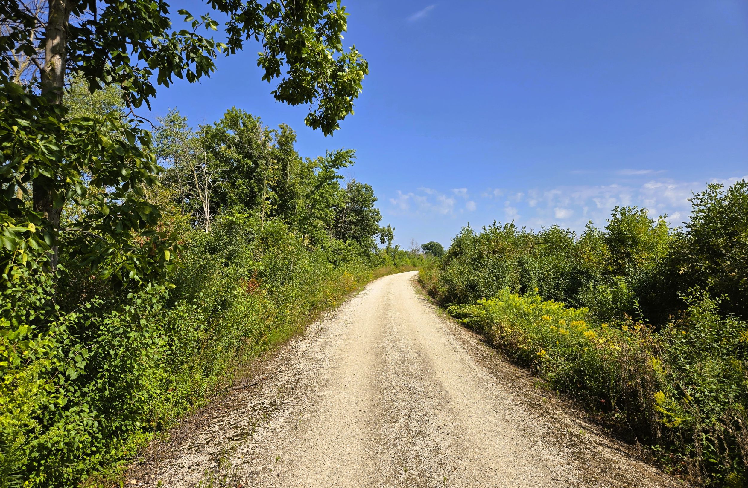
The Fox River State Trail continues north through the serene, rural countryside. A corridor of tall bushes and trees surround sections of the route. In many places, this line of vegetation falls away to open terrain. In other areas, the path moves through small forests of aspen and birch. These forested groves are generally near river or creek crossings.
It is nearly three miles from the start of the Fox River State Trail to Forest Junction. As the trail advances through the small community, it crosses Church, Harrison, and Milwaukee Streets. At Milwaukee Street is a basic trailhead, with a parking lot and a few benches. At this junction, the Fox River State trail intersects the Friendship State Trail. The 4.1-mile trail travels east alongside U.S. Highway 10 to the city of Brillion.
Forest Junction began as a railroad crossing in 1873. The community was named for a railroad junction found amidst a forest. The first railway that came through in 1872 was the Appleton & New London Railroad. It later became the Milwaukee, Lake Shore & Western Railroad, a predecessor of the Chicago and North Western Railway.
The second railroad to pass through Forest Junction was the Chicago, Milwaukee, St. Paul and Pacific Railroad (The Milwaukee Road). That line was first built by the Milwaukee and Northern Railway in 1873. The town’s depot served both freight and passengers. Today, Forest Junction is a quiet community with a tavern and gas station with convenience store.. U.S. Highway 10 and Wisconsin State Highways 32-57 now form the junction there.
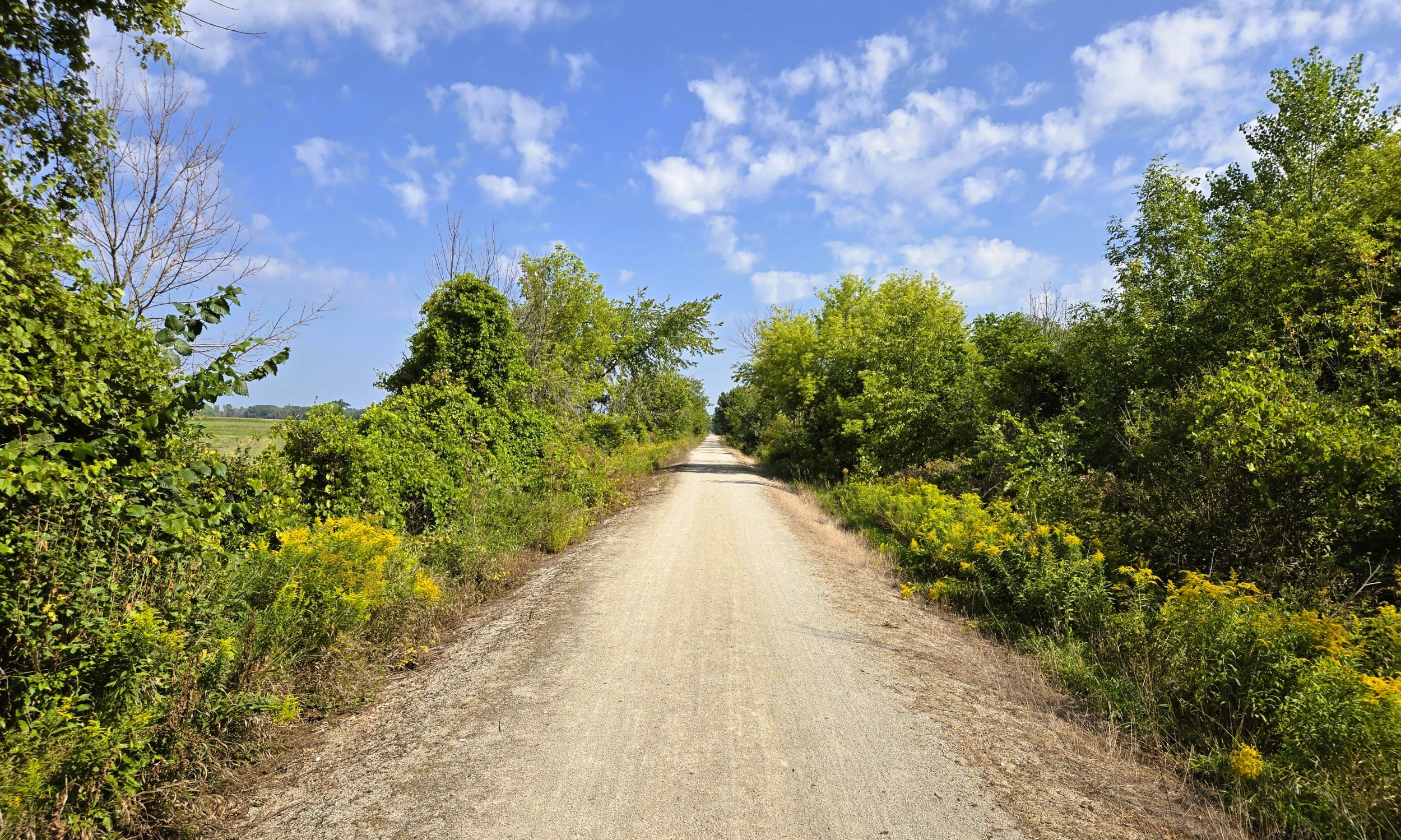
Continuing north on the Fox River State Trail for 0.3 mile, trail-goers arrive at busy U.S. Highway 10. Extreme caution is required when crossing this federal highway. There are no flashing lights or a crosswalk at this intersection. Traffic travels at a high rate of speed, with minimal signage to warn drivers of the trail crossing. At crossings like this, cyclists especially benefit from wearing high-visibility clothing and gear.
A half mile north of the intersection with U.S. Highway 10, two spur trails on the right (east) lead to the Forest Junction trailhead. It is located off County Highway K and Holmes Road. The trailhead is basic; offering parking. The Fox River State Trail continues north, adjacent to Wisconsin State Highways 32-57 for the remaining seven miles to Greenleaf.
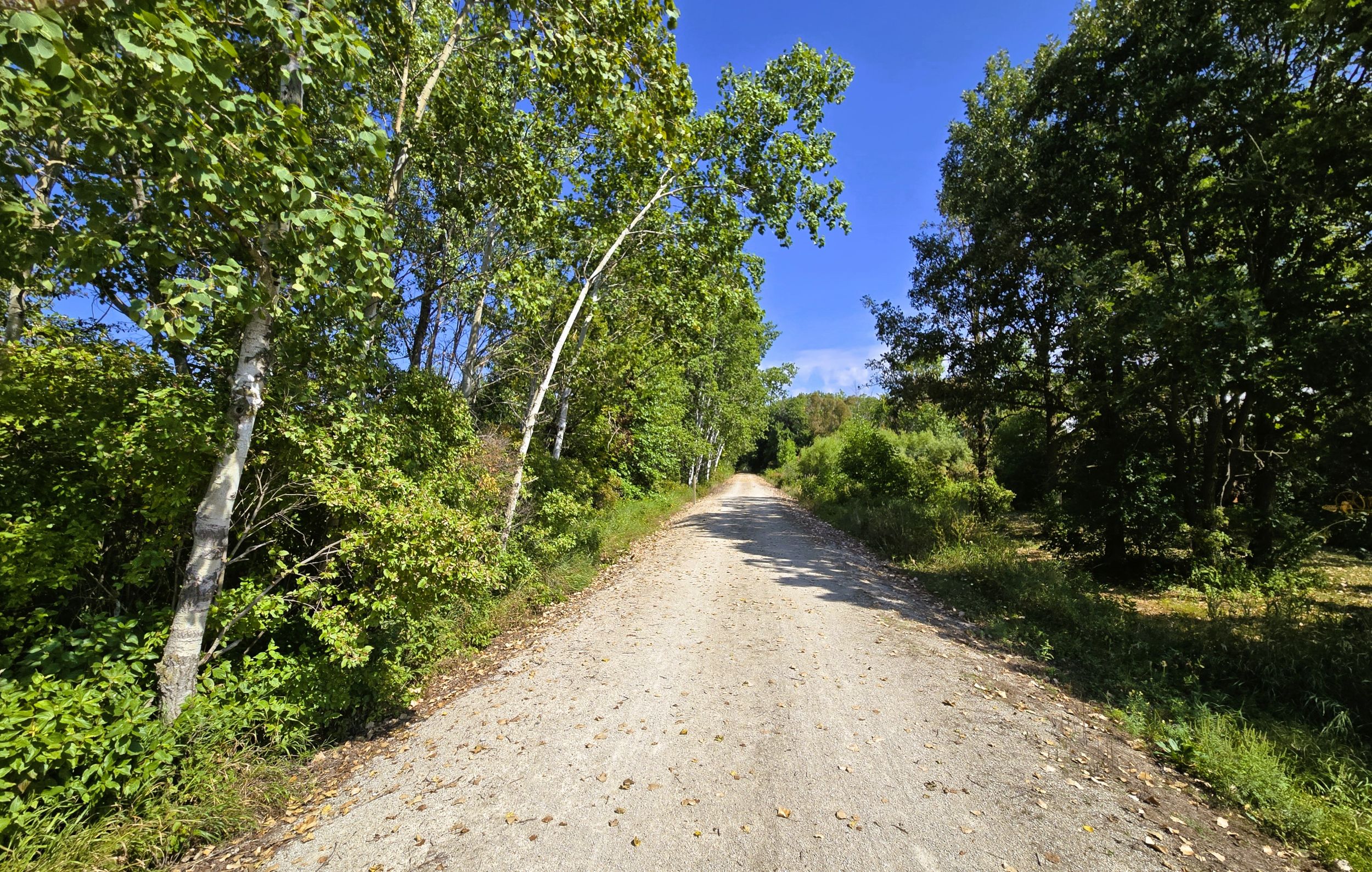
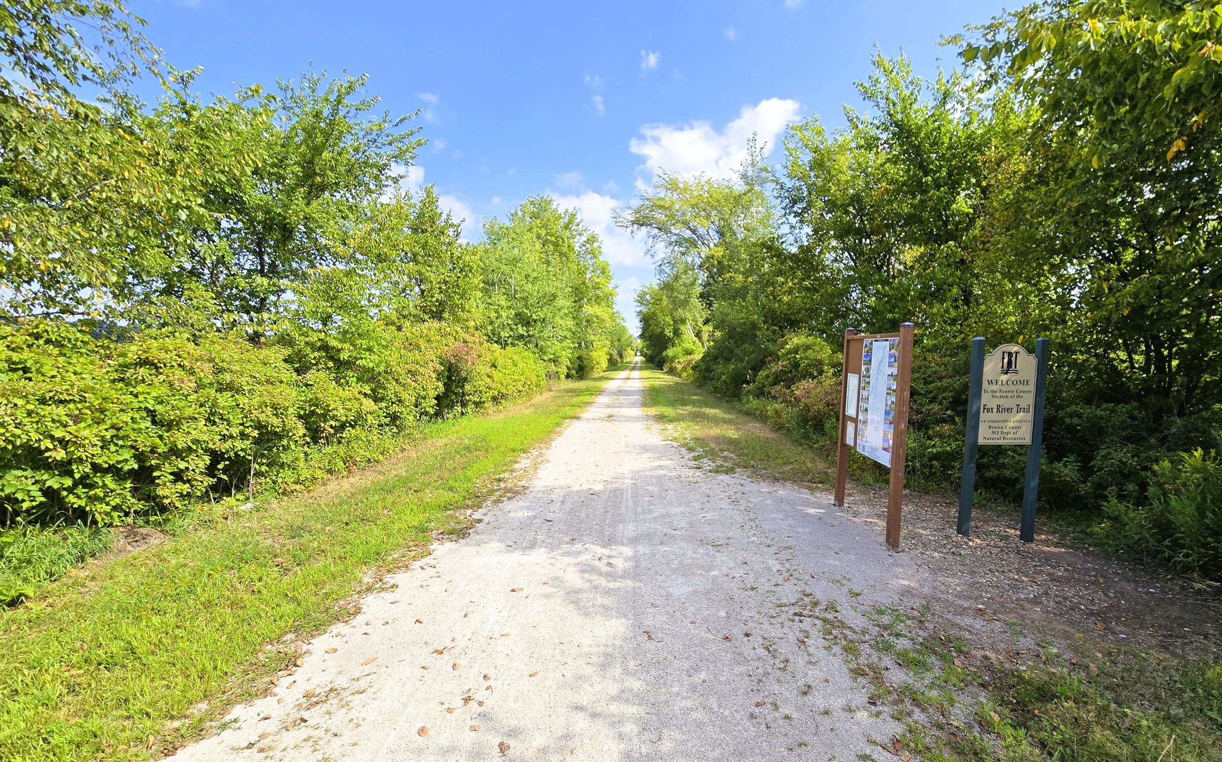
The next intersection is County Highway K. The trail then travels 1.1 miles to Man-Cal Road. Along the way, the path crosses Plum Creek. Man-Cal Road marks the trail’s entrance into Brown County, where a trailhead is found with a parking lot, information kiosk, and trail sign. It is accessed by car from Man-Cal Road. Turn east from Wisconsin State Highways 32-57 and cross the trail to the parking lot. This trailhead marks the end of the horseback riding section. Horses are not permitted on the trail within Brown County.
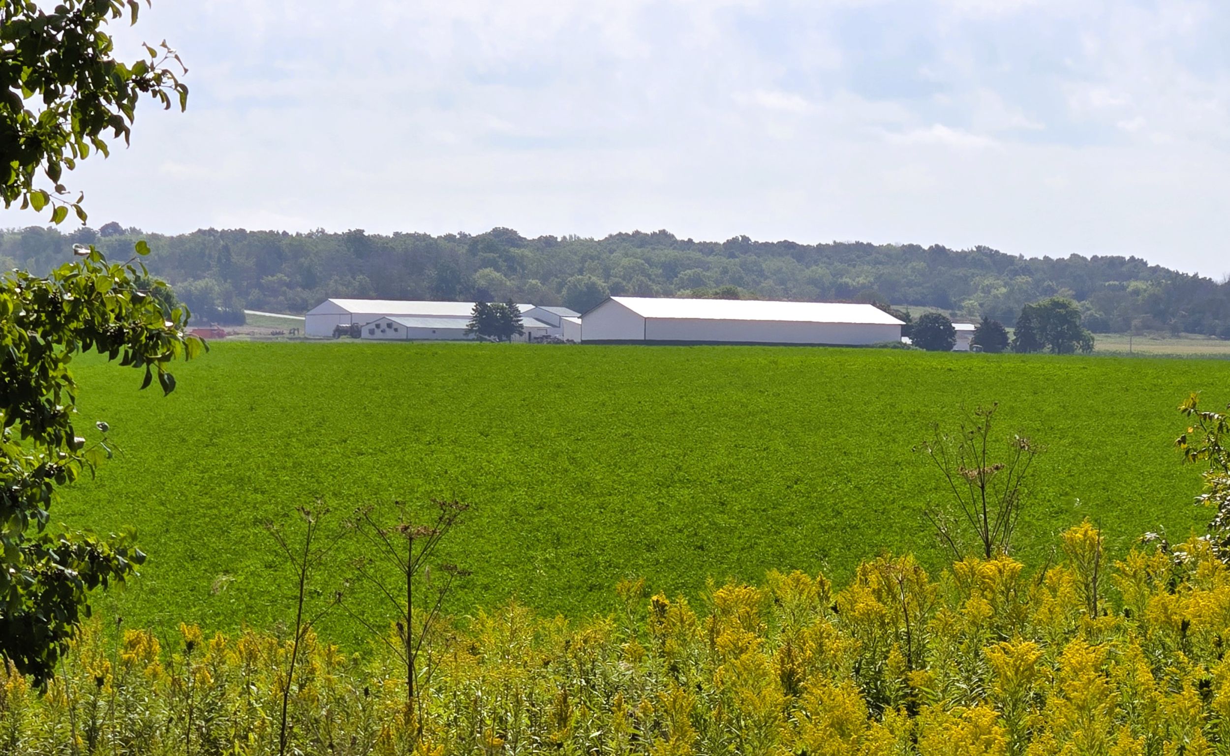
As the route advances north, the countryside becomes increasingly agricultural. Family farms are spotted beyond fields of corn, soybeans, and hay. Several mega dairy farms are easily seen (and smelled). The Fox River State Trail continues traveling next to Wisconsin State Highways 32-57. From Man-Cal Road, it is just over two miles to County Highway Z (Hill Road). Along the way, the path crosses Lovers Lane and Wayside Road.
It is 3.3 miles from County Highway Z to Greenleaf. In this section, the trail crosses Lamers Clancy, St. Pat’s Church, and Mill Road. It also bridges two small branches of the East River. Upon arriving in Greenleaf, the Fox River State Trail crosses Wisconsin State Highway 96 near a roundabout. Caution should be exercised to navigate this intersection.
The tiny historic Greenleaf Volunteer Firehouse and a tall grain elevator belonging to Cornette Farm Supply stand next to the Fox River State Trail in Greenleaf. The village has a family restaurant and gas station with convenience store. Greenleaf was named for Emery B. Greenleaf, the general manager of the Milwaukee & Northern Railroad. This rail line, which now is the Fox River State Trail, came through the area in 1873.
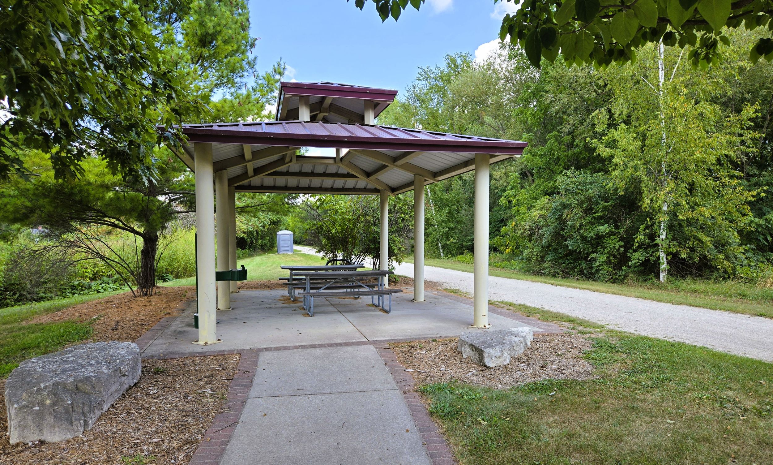
It is 0.2 mile from Wisconsin State Highway 96 to the Greenleaf trailhead, off Follett Street. The rest area contains a large parking lot, portable toilet, sheltered picnic table, information kiosk, self-registration station, and a bicycle self-service station.
There is only one way to access the trailhead in Greenleaf by car. From Wisconsin State Highways 32-57 on the north side of the village, take Fair Road to the east. Drive 175 yards to Follett Street. Turn right (south) and drive 0.3 mile to the trailhead.
Map of trailheads and addresses along this section of the trail.
The Fox River State Trail from Ott Road to Greenleaf travels 10.6 miles through an agricultural countryside. A bike ride on this part of the trail is relaxing. Trail-goers may need to prepare for their journey with brimmed hats and sunscreen, due to the route’s open landscape. This section is perfect for trail-goers desiring a peaceful and rural excursion.
Trail ridden and documented in August, 2026.