U.S. Highway 12 Trail: Middleton to Rauls Road
The southern section of the U.S. Highway 12 Trail journeys northwest through the gently sloping countryside of Dane County. Starting in Middleton, it moves through an undulating landscape before ending at Rauls Road. The sweeping vistas are stunning, with an open landscape and little shade. The path travels next to its namesake highway. Traffic on the four-lane highway is often heavy, and easily heard from the trail.
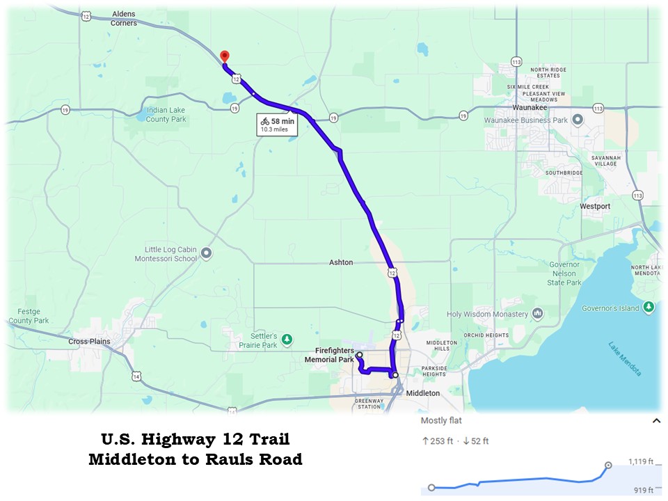
Bicyclists are challenged with several hills when riding the U.S. Highway 12 Trail. Over nine miles, the path ascends 250 feet. The most demanding section involves climbing a 6-8% grade. However, the return trip is mostly downhill and makes an easier ride. The trail’s paved asphalt surface is in very good condition. Grass and weeds grow from cracks in several areas. In August 2026, pavement cracks were resealed over a part of the trail.
The U.S. Highway 12 Trail starts in the city of Middleton, at the confluence of the North Fork Path and Pheasant Branch Creek Corridor Trail. Because no trailhead is located at that junction, cyclists may want to begin their ride at nearby Firefighters Memorial Park. From the park, it’s just over a mile on the paved North Fork Path to the start of the U.S. Highway 12 Trail. This makes the entire one-way route 10.3 miles in length.
To reach Middleton’s Firefighters Memorial Park by car, take exit number 250 from U.S. Highway 12 (Madison Beltline). It is the exit for County Highway M (Century Avenue) and Airport Road. Drive west on Airport Road for one mile. Turn left (south) on Pleasant View Road, and go 0.1 mile. The park’s entrance is on the left (east).
The 24-acre Firefighters Memorial Park in Middleton has a large parking lot, restrooms, playground, and picnic shelter. It also is home to several ball diamonds and a soccer field. The North Fork Path passes through park grounds next to the parking lot.
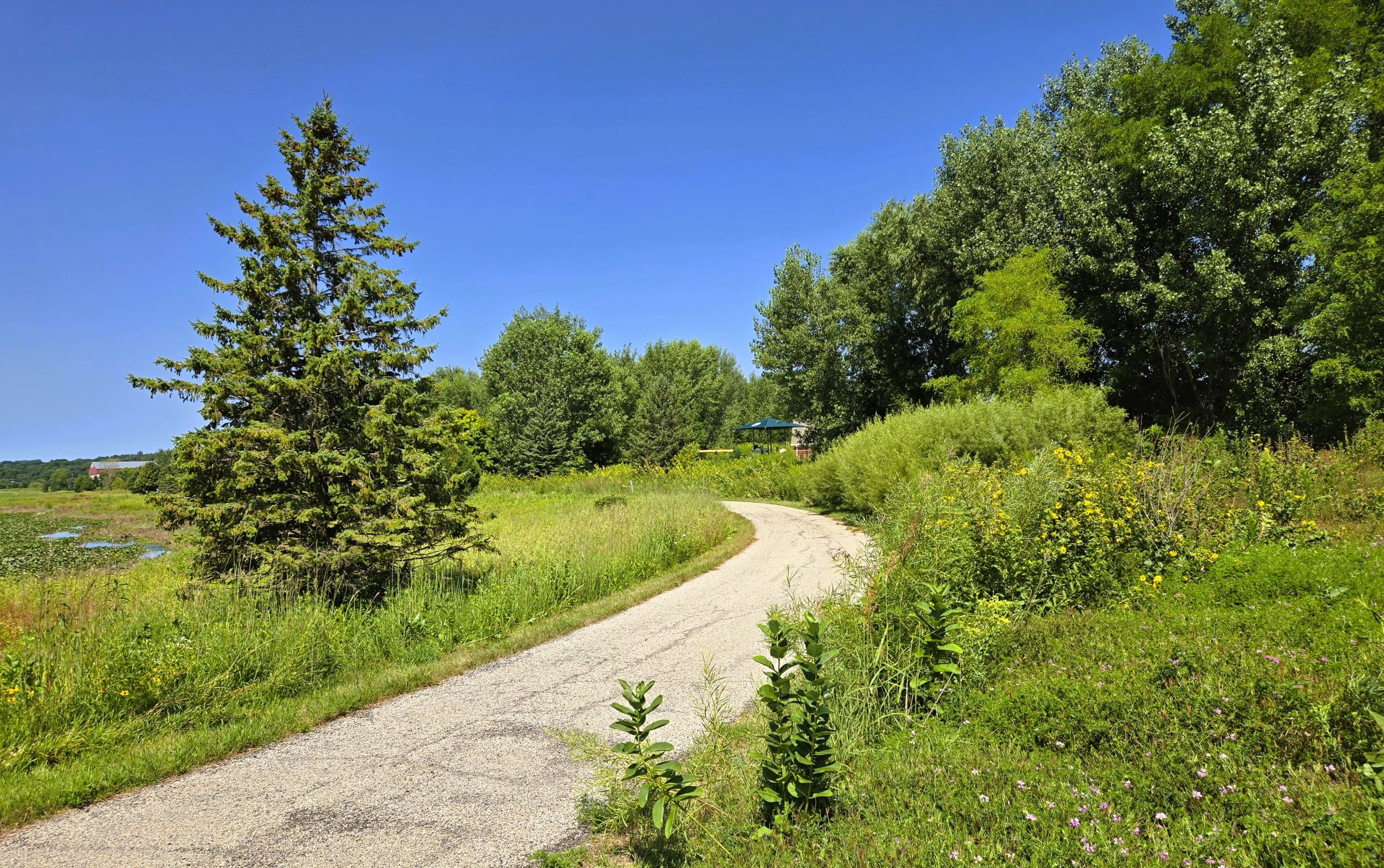
From the Middleton park, the route on North Fork Path goes to the right (south). It travels 1.3 miles alongside Pheasant Branch to the start of the U.S. Highway 12 Trail. It heads south, then turns left (east) at an information kiosk. A spur trail continues south to local businesses. The North Fork Path curves a few more times as it passes by the Pheasant Branch Confluence Pond, filled with lily pads in the summer.
The North Fork Path next passes under Deming Way and arrives at the junction of two other trails. Signs indicate the names and direction of each path. Heading right (south) over Pheasant Branch leads to Pheasant Branch Creek Corridor Trail. A self-service bicycle repair station is found on the path just south of the bridge. The U.S. Highway 12 Trail starts to the left and proceeds north. The North Fork Path ends at that intersection.
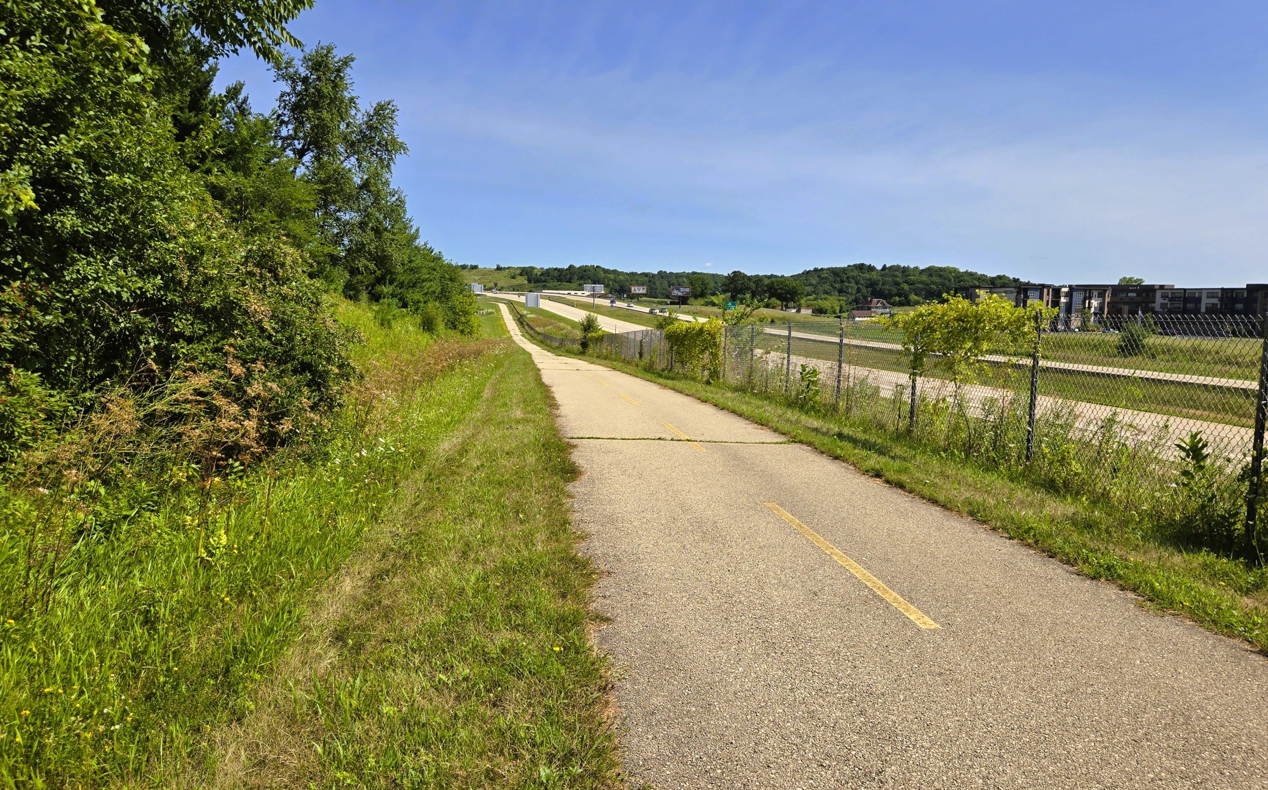
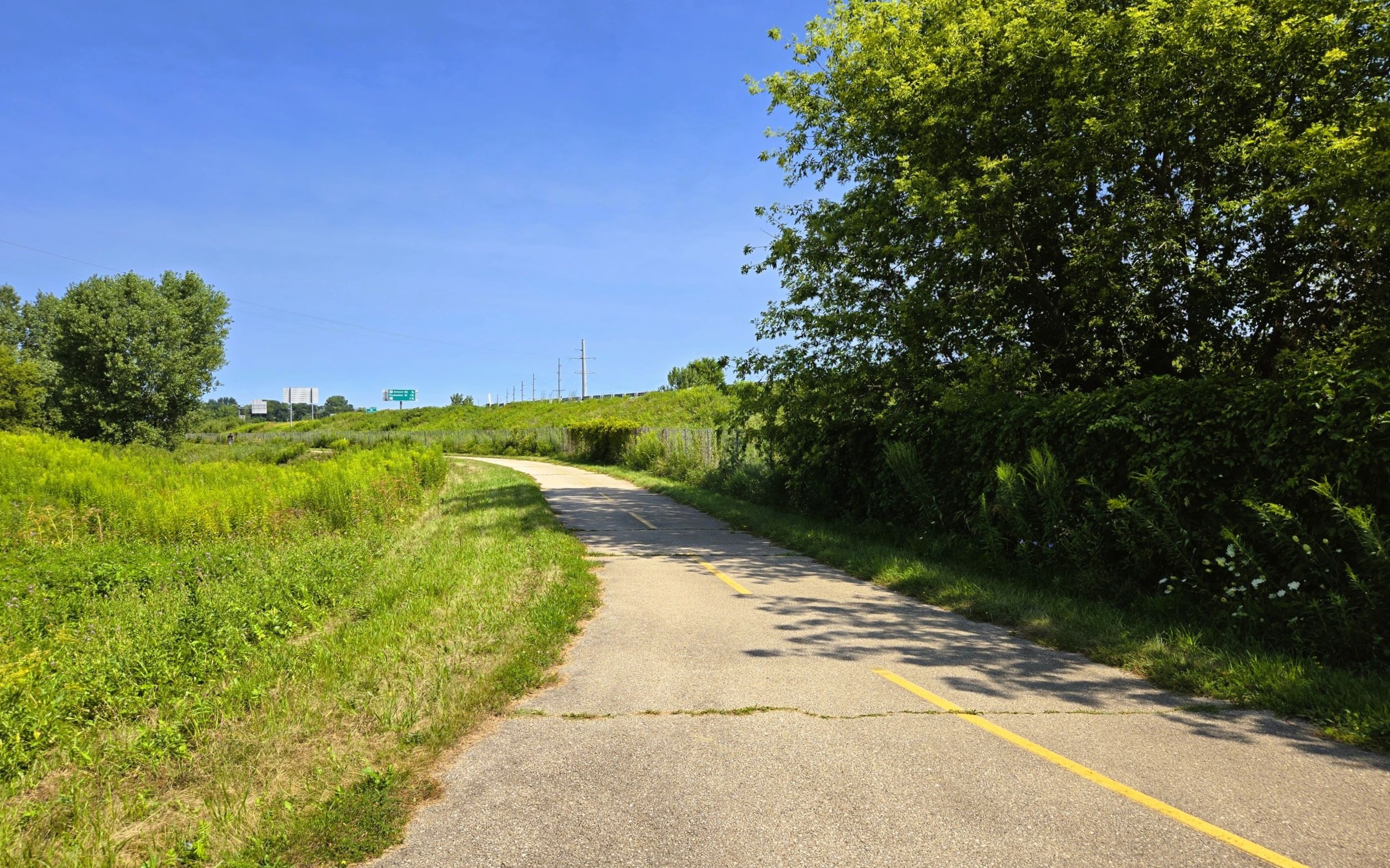
The U.S. Highway 12 Trail travels north alongside the four-lane expressway for 0.6 mile to its first intersection. Along the way, it passes the large office building of Spectrum Brands. Crosswalks at Airport Road offer protection when crossing the busy intersection.
The next road crossing comes after 0.8 mile. The trail moves north out of Middleton and advances over a large hill. In ascending the ridge, it passes Murphy Park, a car dealership, school, and church. After descending slightly, the trail arrives at Schreiber Road. Before crossing the road, it turns right (east) and cuts under U.S. Highway 12. After turning left to cross Schreiber Road, the path resumes its northward journey.

Now on the east side of U.S. Highway 12, the trail begins an arduous climb up another ridge. Over the next half mile, the trail rises 120 feet with inclines of 7-8%. A minor descent at Parmenter Street offers a little relief. There is a trailhead at Parmenter Street. The park and ride lot has no amenities, but four interpretive markers give a comprehensive history of Middleton. It’s worth taking a break from the climb to read the panels.
The ascent continues another 0.2 mile after crossing Parmenter Street. The slope here is over 8%. The trail moves past rocky outcroppings and a quarry before beginning a slow descent over the next mile. Along the way, the path crosses County Highway K. Once again, crosswalk signals support safe passage through the intersection.
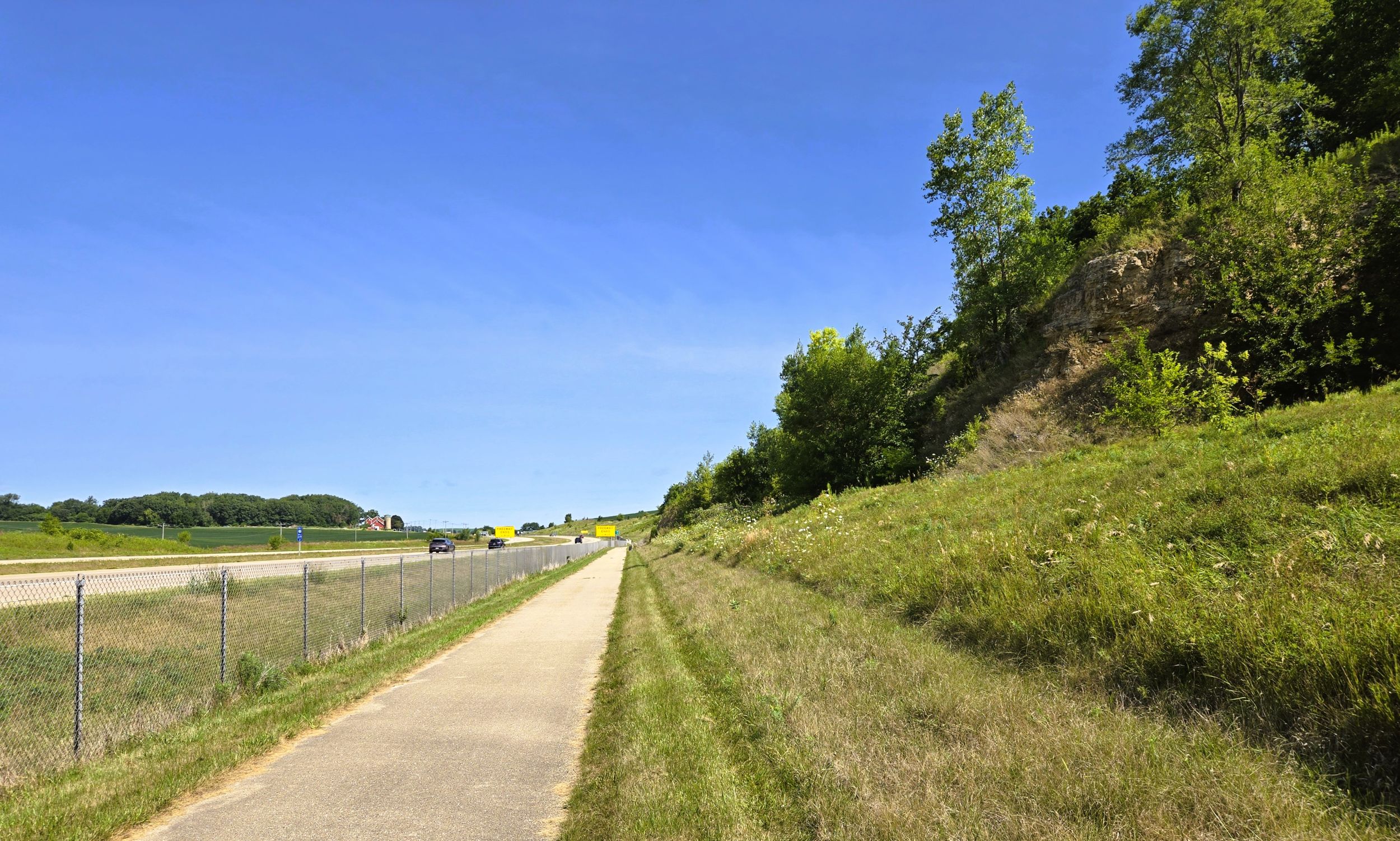
At the crossroads of U.S. Highway 12 and County Highway K is the small community of Ashton Corners. Founded in 1849, it was named after Thomas Ashton, leader of the British Temperance Emigration Society. Ashton led a society that aimed to buy U.S. land to help poor English families. However, German immigrants settled the surrounding farmlands.
Over the next 2.2 miles, from County Highway K to Kickaboo Road, the trail moves over undulating countryside. North of the county highway, trail-goers may notice a small knoll on the left (west) side of U.S. Highway 12. This is part of Empire Prairie State Natural Area. The small area is a remnant of a vast prairie that once stretched across southern Columbia and northern Dane Counties. This unit sits on an isolated hill of dolomite bedrock. Though modest in size, it has more than 60 native prairie species.

The U.S. Highway 12 Trail next crosses Fisher Road and passes a mobile home park. The path also travels by the 6th-generation farm that is home to Laufenberg Meats, where locally sourced farm-to-table meats are sold in their onsite store. Meffert Road is the next intersection, before arriving at Kickaboo Road and the Missouri Tavern. Established in 1940, it’s a cozy place for locals and visiting trail-goers to enjoy tasty bar food and beverages.
A half mile north of Kickaboo Road, the path briefly moves away from the highway. As it ascends another hill, the route veers right (east) and passes the junction of Lodi-Springfield Road and Woodland Drive. A small, historic graveyard known as Kohlman Cemetery is found there. Established in 1848, its origin is tied to the 1847 murder of Charles Kohlmann, a Prussian immigrant who was killed while traveling to Milwaukee. He was buried near the site, leading to the establishment of the cemetery.
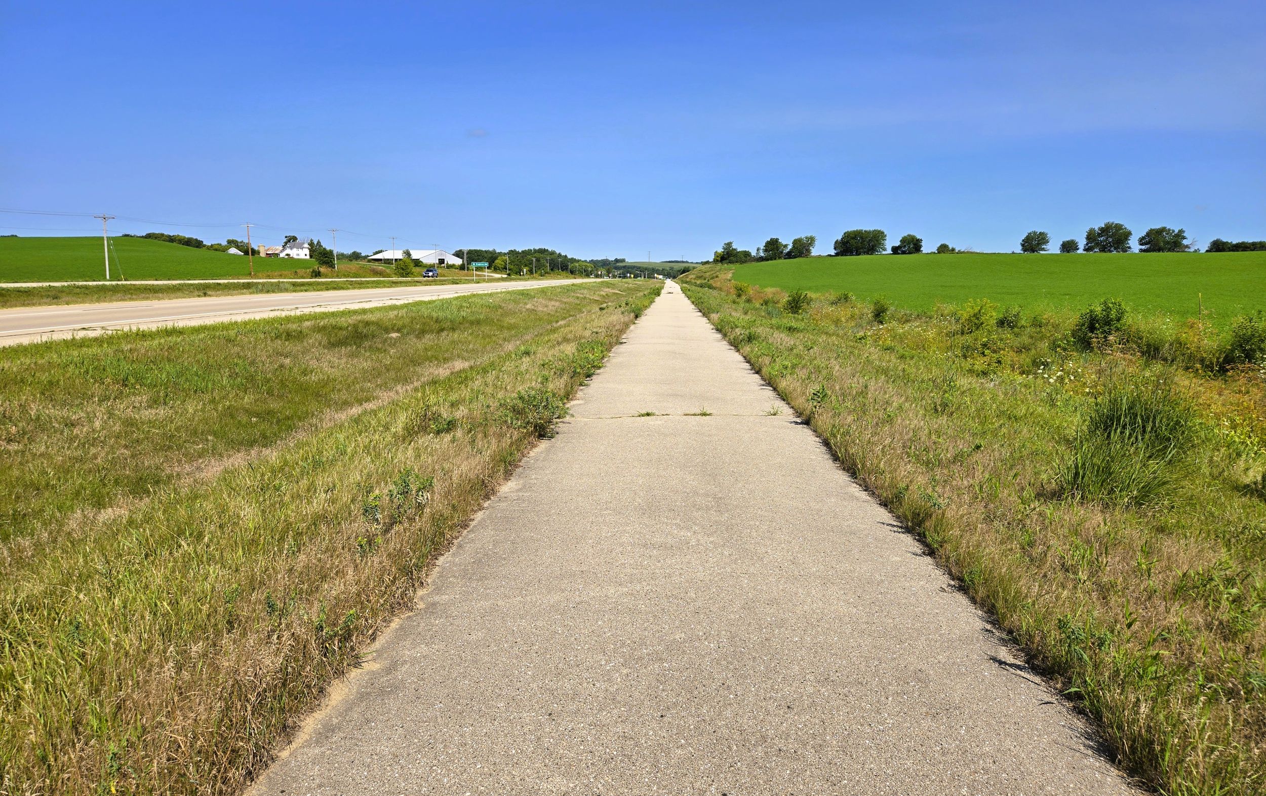
After the trail returns to its course next to U.S. Highway 12, several landmarks come into view. In the distance to the right (east) is Waunakee Marsh Wildlife Area. This 470-acre property is mainly wetlands, with hardwood forest and grassland. Across the highway to the left (west) is Ackers Farm Stand. The roadside stand sells a variety of homemade products. On the ridge behind Akker’s farm, trail-goers see Epic System’s Galactic Wind Farm. The six wind towers are 260 feet tall, and produce over 20,000 megawatt-hours of power annually.
It is 1.5 miles from Kickaboo Road to Wisconsin State Highway 19. At this intersection is a park and ride lot that may serve as a trailhead. Despite being a state highway, there are no crosswalk signals at this intersection. Trail-goers should cross with caution. Across U.S. Highway 12 at this intersection sits St. Therese Chapel. It is an independent traditionalist chapel affiliated with the Society of St. Pius X, and regularly offers traditional Latin masses.

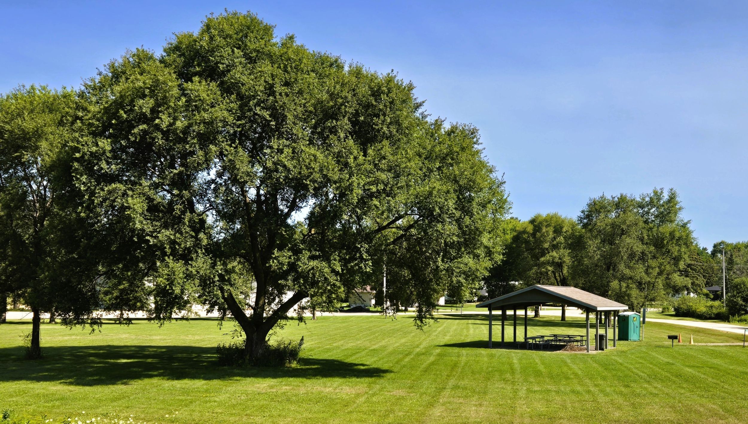
It’s a 0.7-mile ride downhill to the next intersection. Crosswalk signals assist trail-goers across County Highway P in the unincorporated community of Springfield Corners. Pape Park is at this intersection, and may serve as a potential trailhead. It has a parking lot, large grassy area, covered picnic shelter, and portable toilet. Springfield Corners Bar and Event Venue sits at that intersection, with two its bars and a dance hall.
County Highway P at Springfield Corners is an early 19th century historic route. In that area, it follows the course of the Old Military Road that ran from Fort Crawford in Prairie du Chien to Fort Howard in Green Bay. This Military Road was the first main road across Wisconsin. It was 234 miles long, built between 1835 and 1837 by U.S. soldiers. Springfield Corners emerged at this place in the late 1840s as a crossroads community of farmers.
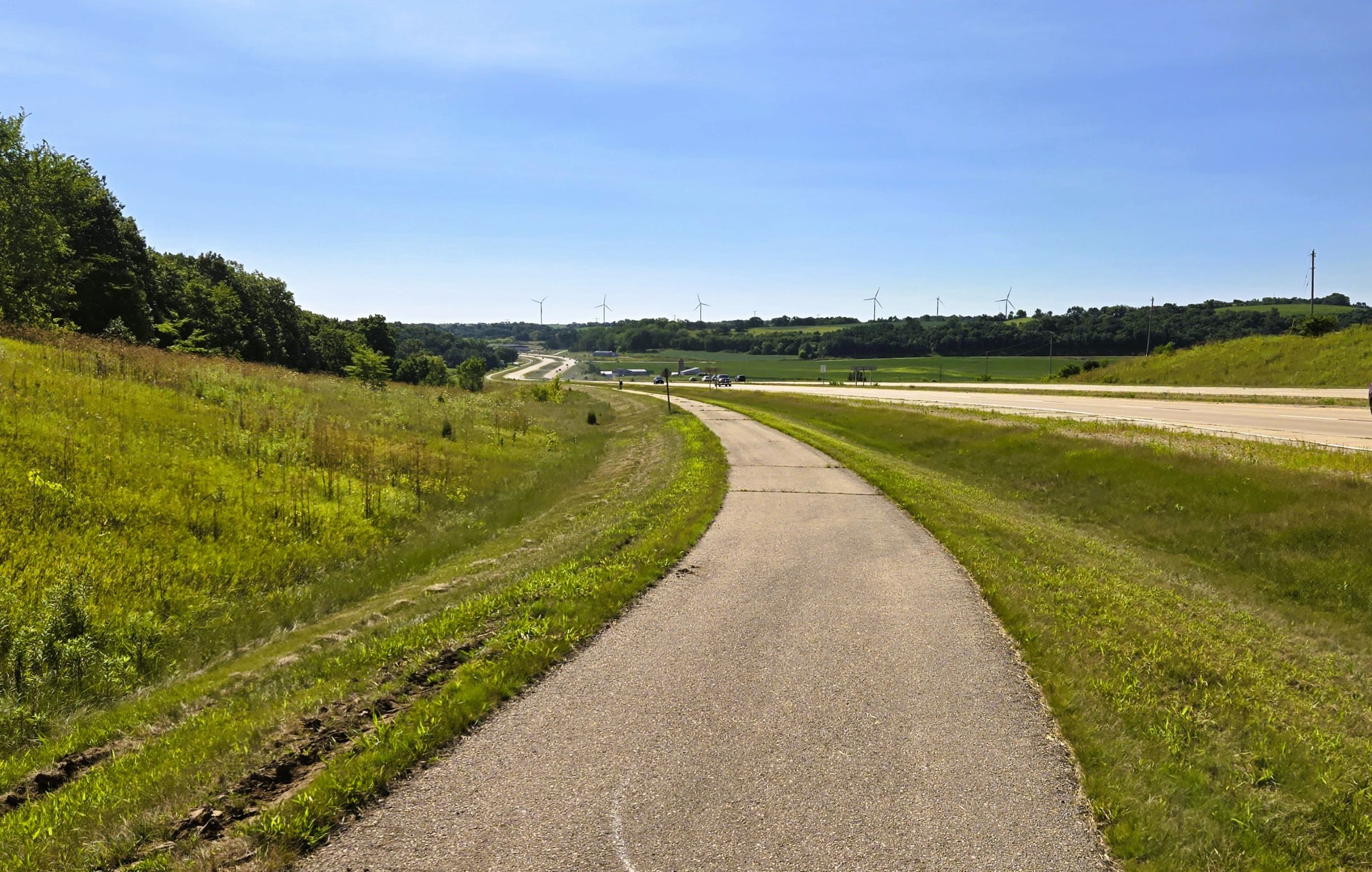
The last section of the U.S. Highway 12 Trail travels 1.8 miles from Springfield Corners to Rauls Road. Brandenburg Lake is visible across the highway to the left (west). Next to it runs Wisconsin State Highway 19. Collins Ridge is also noticeable, straight ahead. The trail scales part of this lofty prominence, ascending 150 feet. At Rauls Road, the path ends abruptly. Cyclists may enjoy a predominately downhill ride back to Middleton.
The Middleton area was long home to the Ho-Chunk Nation. In 1832, a trading post was built on the western shore of Lake Mendota. Through a series of treaties, the Ho-Chunk were forced to cede their ancestral lands to the U.S. government. Throughout the 1840s, white Americans and European immigrants settled here. The emerging community was called Peatville, due to peat pulled from the soil. The community was renamed Middleton in 1848.
The transportation of wheat became a main industry in Middleton. In 1856, the arrival of the railroad brought the construction of large grain elevators for storing wheat before it was shipped out. At the end of the 19th century, dairying replaced wheat. Today Middleton’s economy includes retailing, manufacturing, and technology.
Middleton has an extensive recreational trail system, and cyclists have several trail options. The longest and most challenging option is certainly the U.S. Highway 12 Trail. The many hills and ridges it traverses offer an invigorating ride. The excursion also provides scenic, expansive vistas of Dane County’s rolling countryside.
Trail last ridden and documented in August, 2026.
Map of trailheads and addresses along this section of the trail.