Glacial Drumlin State Trail: London to Jefferson
The 11.5-mile route from London to Jefferson on the Glacial Drumlin State Trail travels through a scenic countryside of forests, marshes, and farms. Highlights include passing through Zeloski Marsh and crossing the Crayfish and Rock Rivers. The trail also travels through Lake Mills. South of the city, it crosses the Glacial Drumlin Train Trestle, where picturesque views of Rock and Mud Lakes are seen from the bridge.
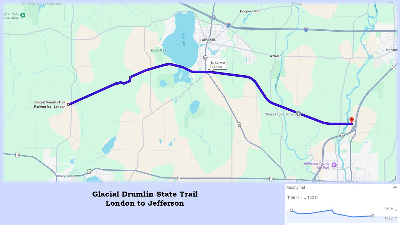
The surface of the Glacial Drumlin State Trail is composed of crushed limestone, in very good condition. Special attention is required when biking, due to holes on the side of the path caused by burrowing animals, some quite large. In forested segments, the path’s surface becomes two lanes of crushed stone with a grassy median.
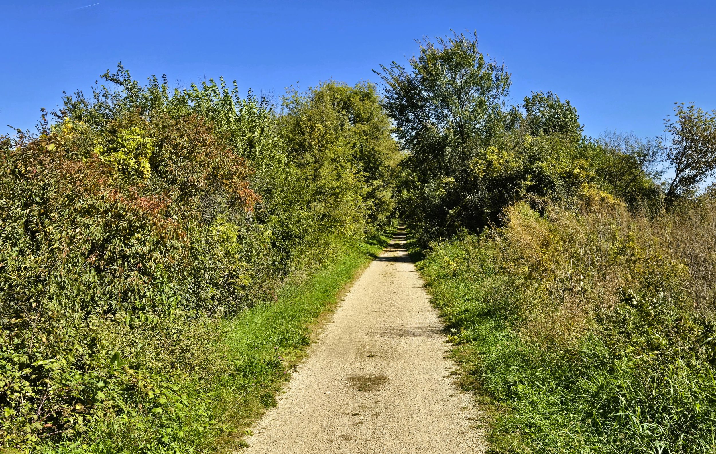
Thoughout much of the route, a canopy of hardwood trees and bushes surrounds the trail and provides shade. Little protection from the wind and sun is offered in the vast open marshes. The trail elevation fluctuates slightly, and is hardly noticeable while biking. Benches are placed along the route, and there are several trailhead options.
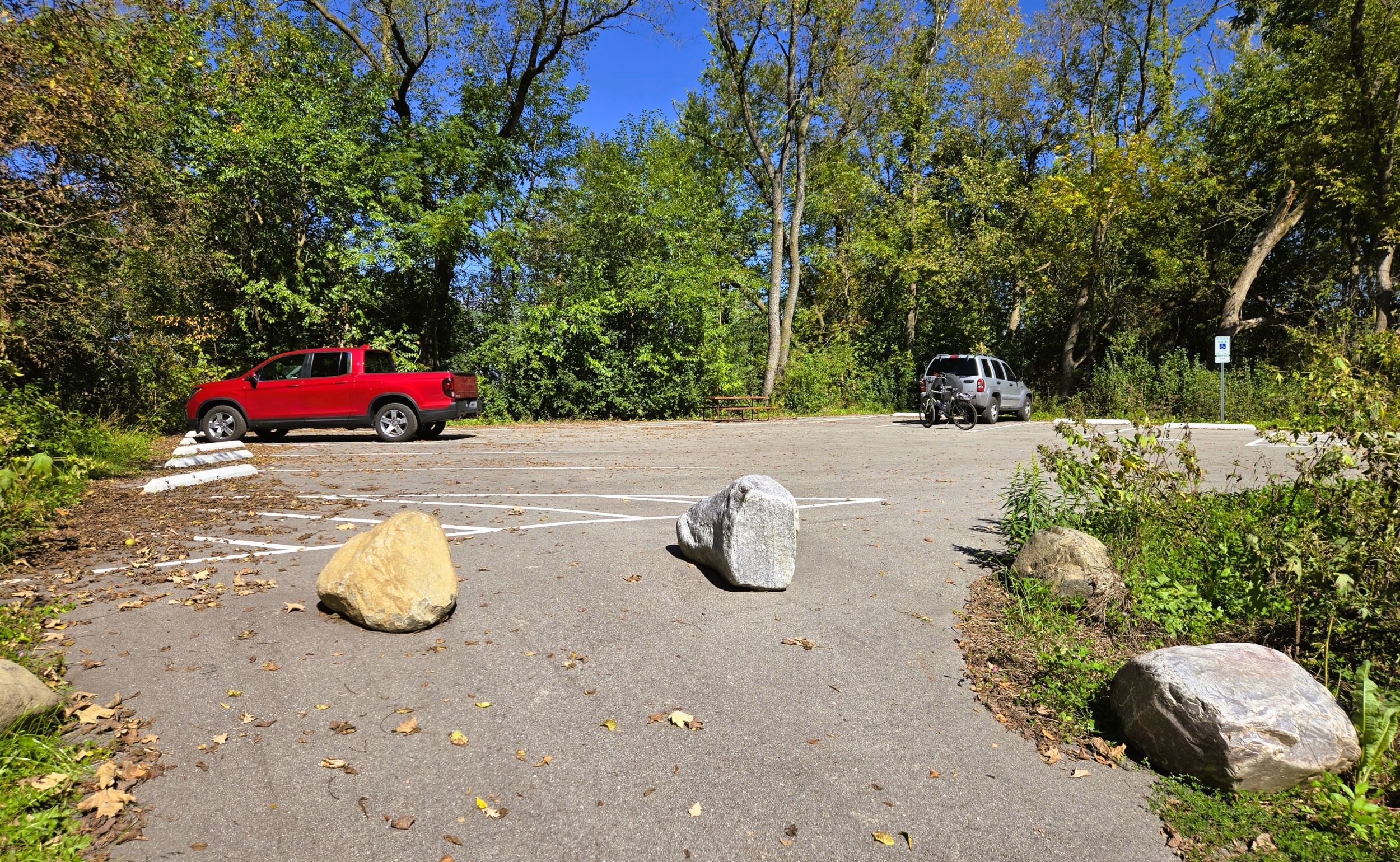
The trailhead in London is located off Holy Ridge Lane. It has a paved parking lot and a picnic table, with no other amenities. The trailhead is accessed by car from Wisconsin State Highway 134. Turn left (west) from the highway onto Main Street, then right (north) on Holly Ridge Lane, and immediately left (west) into the trailhead parking lot.
The hamlet of London dates to 1882, with the advent of the Chicago & North Western Railroad. It was established by settlers who emigrated from London, England. Today the community is divided: half is located in Dane County, and the other half is in Jefferson County. A tavern in London serves food to everyone.
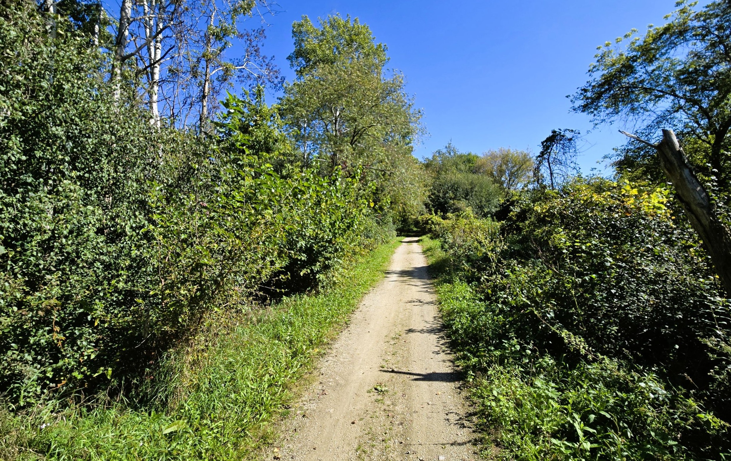
Returning to the Glacial Drumlin State Trail, the route turns left from the trailhead and heads east. In London, the trail crosses Holly Ridge Lane and County Highway O. Then it quickly moves into a rural landscape. The route travels northeast for four miles on its way to Lake Mills. After crossing Koshkonong Creek, the scenery changes dramatically as the trail enters Zeloski Marsh. Also known as London Marsh, the vast open wetlands cover over 1,300 acres. This expansive marsh is part of the Lake Mills Wildlife Area.
Zeloski Marsh is located in the western unit of the wildlife area, and comprised of restored wetlands with impoundments. The Wisconsin DNR maintains the reservoirs for migrating and nesting waterfowl, shorebirds, and other wetland species. Portions of the area have been planted with wet to mesic prairie species. The DNR works closely with the Southern Wisconsin Bird Alliance to manage the preserve. The two organizations have worked diligiently to restore the marsh, from agricultural lands back to original wetlands.
The Glacial Drumlin State Trail bisects Zeloski Marsh for approximately two miles. The trail traverses the marsh’s open terrain with little protection from wind or sun. Because the path travels on a dike, ponds and canals are visible amidst reeds and grasses. Waterfowl frequent the marsh and are easily spotted. In one area, the trail detours around an old trail bridge. Instead of repairing the failing structure, the path was re-routed.
Two interpretive markers are found on the trail in Zeloski Marsh. One tells of the “Fighting Finches,” a bandit family that once hid out in the marsh. The Finch brothers arrived in the area in 1832 with the militia during the Black Hawk War. They returned, and settled near Lake Koshkonong in 1838 with their father and other family members. The clan resorted to banditry to make a living. They marauded local residents, stole horses, and robbed stage coaches throughout the 1840s and 1850s. The marker reveals the family’s “island” hide-out. This piece of high ground is near the trail and serves as a shaded rest stop.
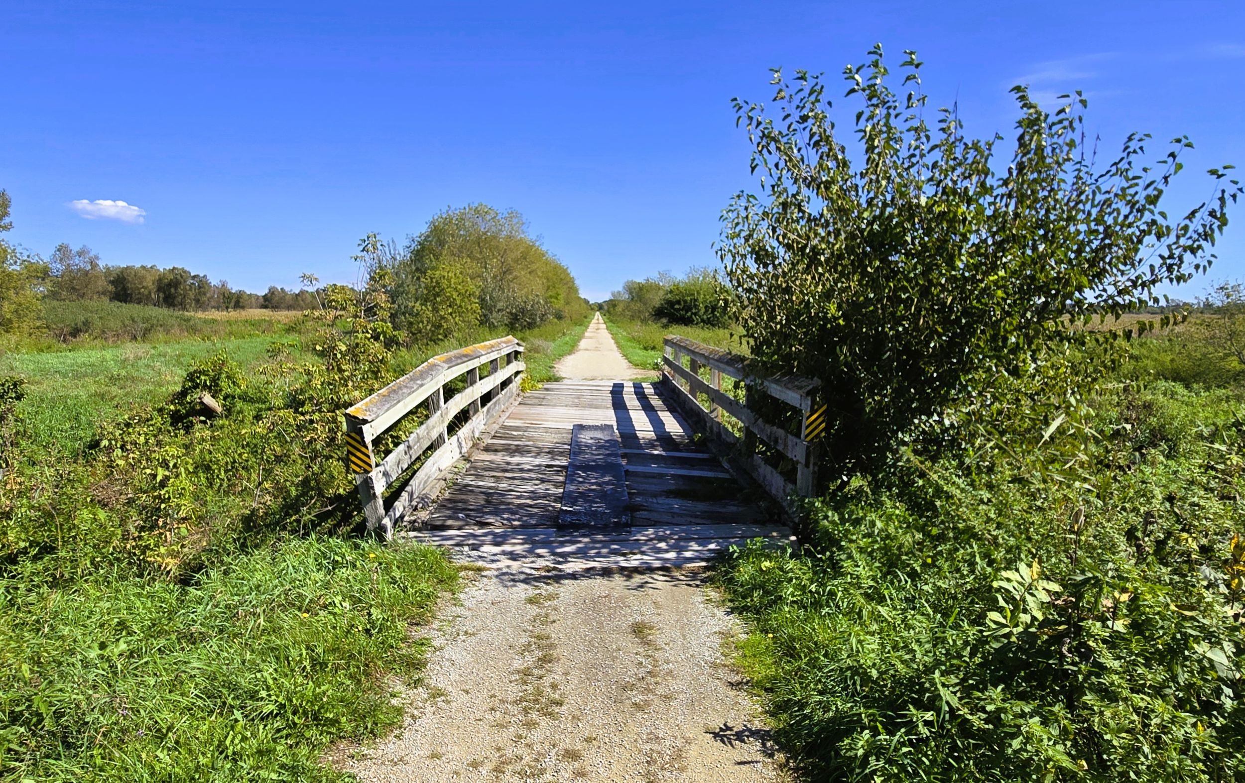
The second marker conveys the history of muck farming in the Zeloski Marsh during the 1900s. Commericial farmers drained sections of the marsh for vegetable farming beginning in the late 1920s. The dark, fertile soil was nicknamed “black gold.” It allowed plant roots to grow deep and fast. Commonly grown crops included onions, carrots, radishes, celery, and lettuce. The agricultural practice changed the marsh and its ecosystem. Efforts to restore the wetlands area back to its orginal conditon began in the early 2000s.
On the east side of Zeloski Marsh is a small trailhead on Finch Brothers Road. It has a bench, bike rack, information kiosk, and parking lot. The trailhead is accessed by car from County Highway S. From there, turn west on Finch Brothers Road, and drive 350 yards.
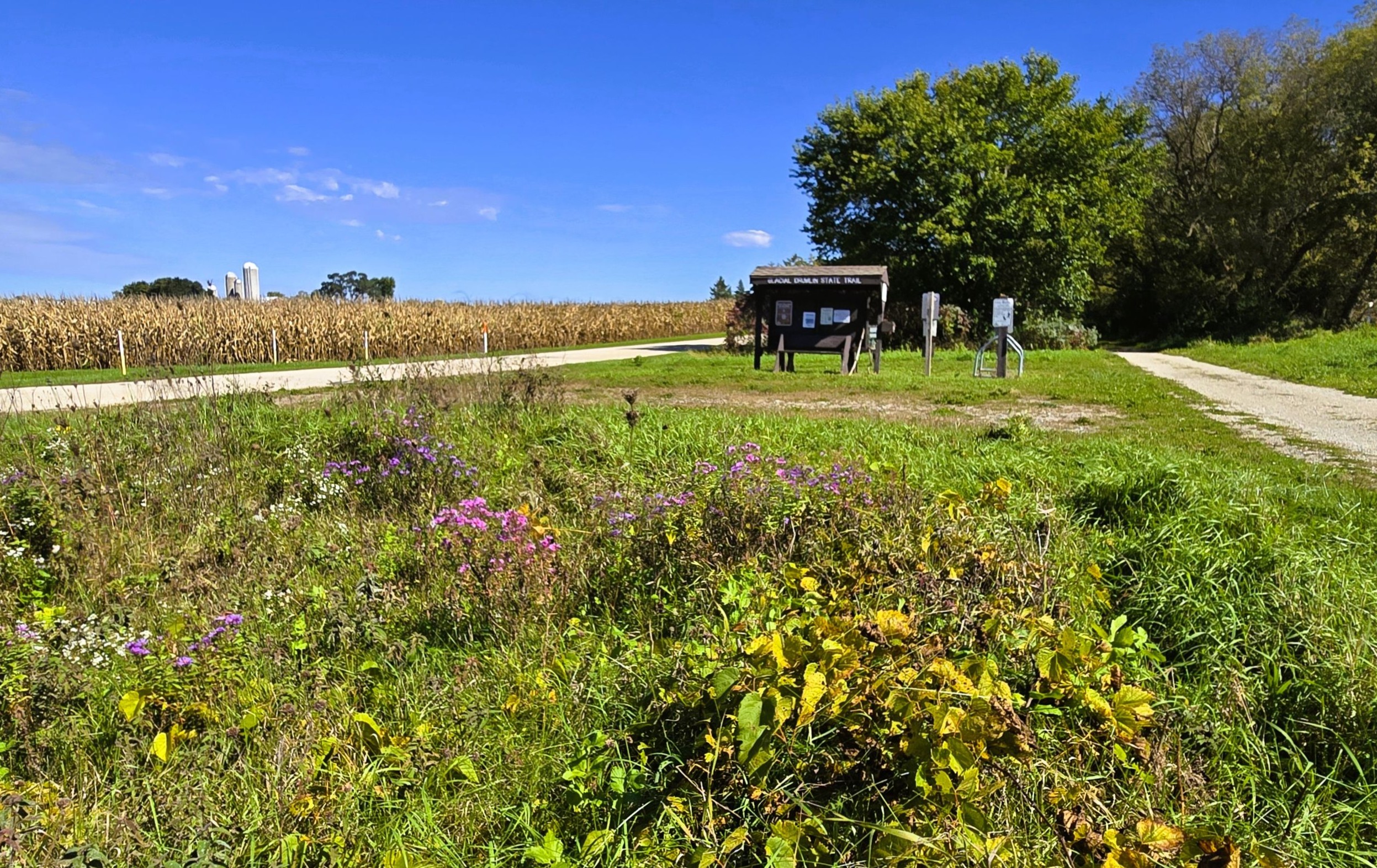
The trailhead on Finch Brothers Road serves the Glacial Drumlin State Trail and Lake Mills Wildlife Area. This preserve includes Zeloski Marsh and land by Rock and Mud Lakes. Its habitats are wetlands, prairies, tamarack forests, and oak savannas. Waterfowl, sandhill cranes, white-tailed deer, and other small animals are often spotted there.
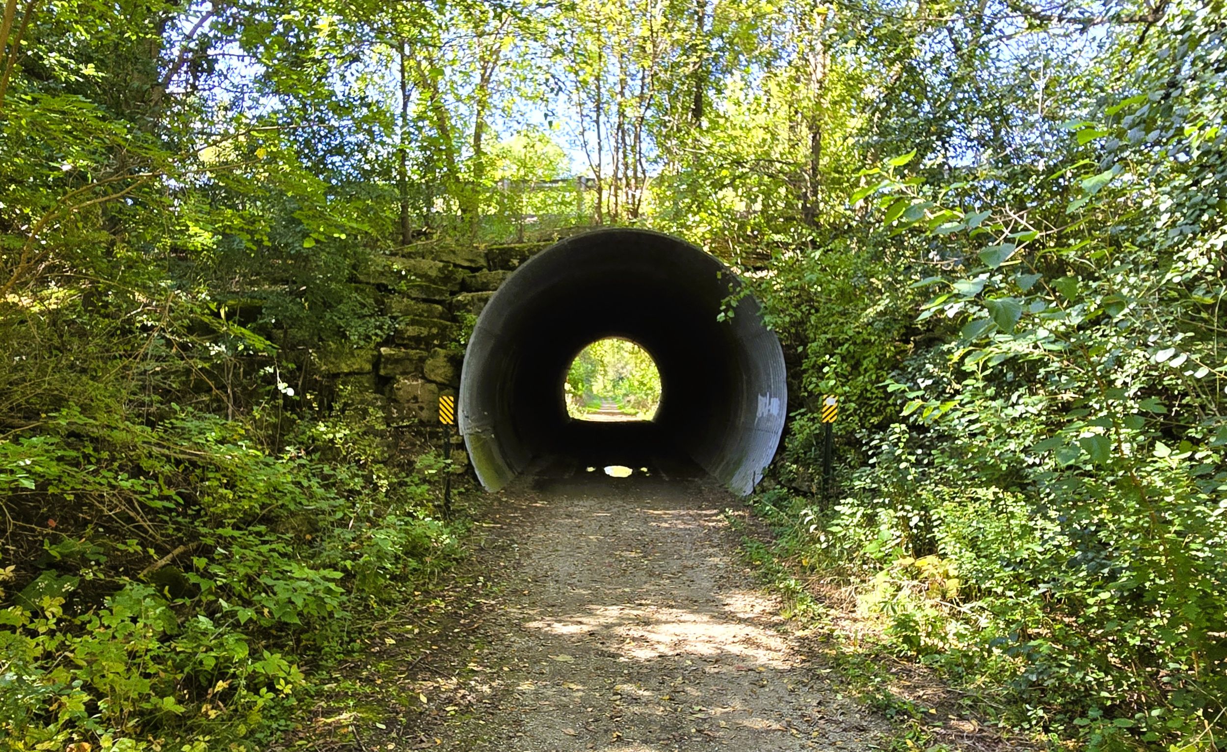
About 350 yards past the trailhead, the path passes through a large culvert under County Highway S. Less than a mile further, the Glacial Drumlin State Trail arrives at the edge of Lake Mills. Several places in this city may serve as trailheads. One is Korth County Park, with its north and south sections. A spur trail to the left (north) leads uphill from the Glacial Drumlin State Trail to the Elm Point Road unit of Korth Park. This southern section has a parking lot, pit toilets, covered picnic shelter, information kiosk, and hiking trails.
From the southern unit of the park, bikers may continue on another trail for 0.6 mile to the north unit. It is larger and sits atop a drumlin, an oval-shaped hill formed by a glacier thousands of years ago. The Korth Park north unit has scenic views of Rock Lake. Amenities include a covered picnic shelter, a playground, benches, grills, and interpretive markers.
By car, Korth County Park is accessed by taking County Highway S to Korth Lane (north unit) or Elm Point Road (south unit). From Interstate Highway 94, take exit 259 south on Wisconsin State Highway 89 into Lake Mills. It’s a short distance to the intersection with County Highway V. Turn right (west), and then right (north) again on County Highway B. Turn left (south) on County Road S. It is four miles from the interstate to the park entrance.
When traveling by car from U.S. Highways 12-18, it is 4.8 miles to Korth Park. Go north on County Highway A for 2.4 miles. Turn left on County Highway S, and drive north two miles to Elm Point Road. Turn right (east), and go 0.4 mile to the southern unit of Korth Park.
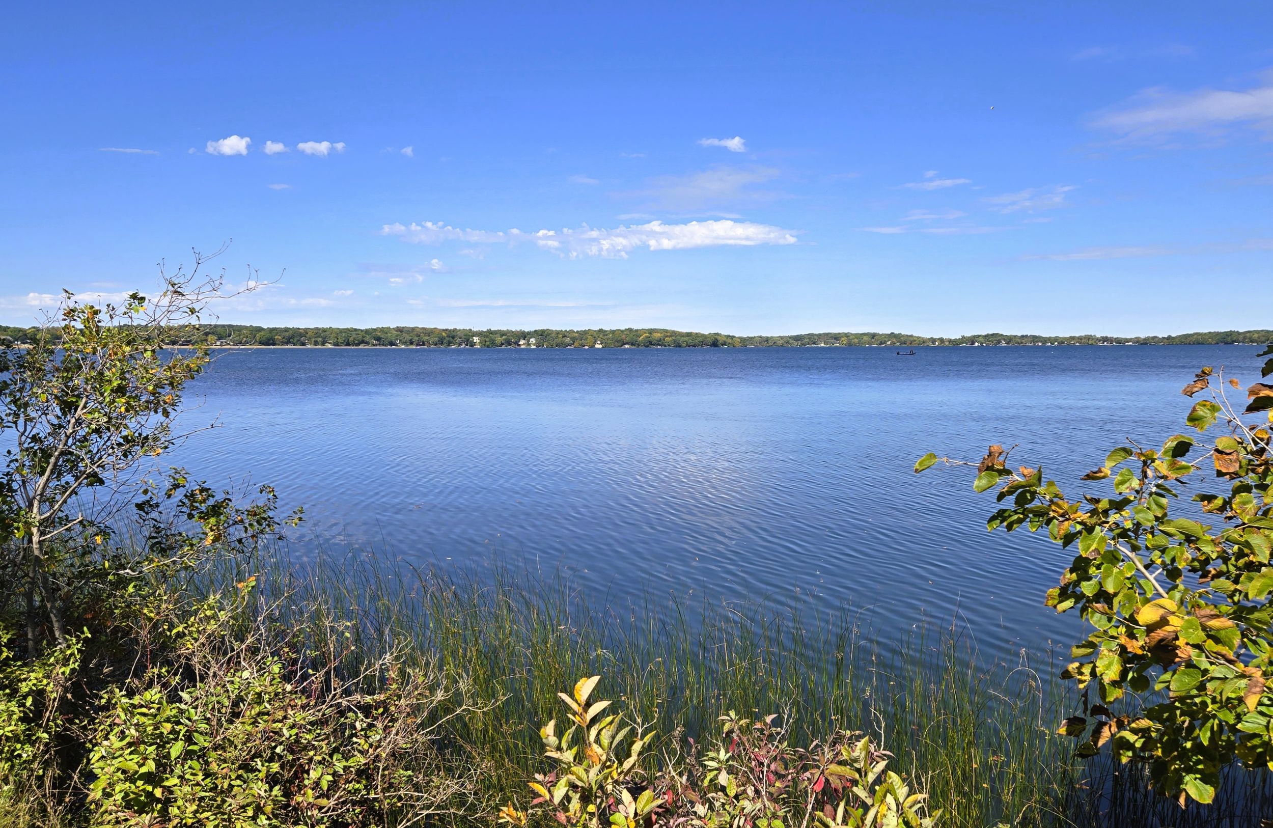
Returning to the main path, it is a half mile from the Korth Park trail to the Glacial Drumlin Train Trestle. This bridge passes between Rock and Mud Lakes. Pullouts with benches allow trail-goers to pause and enjoy amazing views of both lakes. Rock Lake is over 1,300 acres and is a deep, clear lake used for boating, paddling, and fishing. Mud Lake is quite different. Approximately 100 acres and much shallower, it has a mucky bottom and low water clarity. Mud Lake is surrounded by reeds and marsh grass, and is popular for fishing.
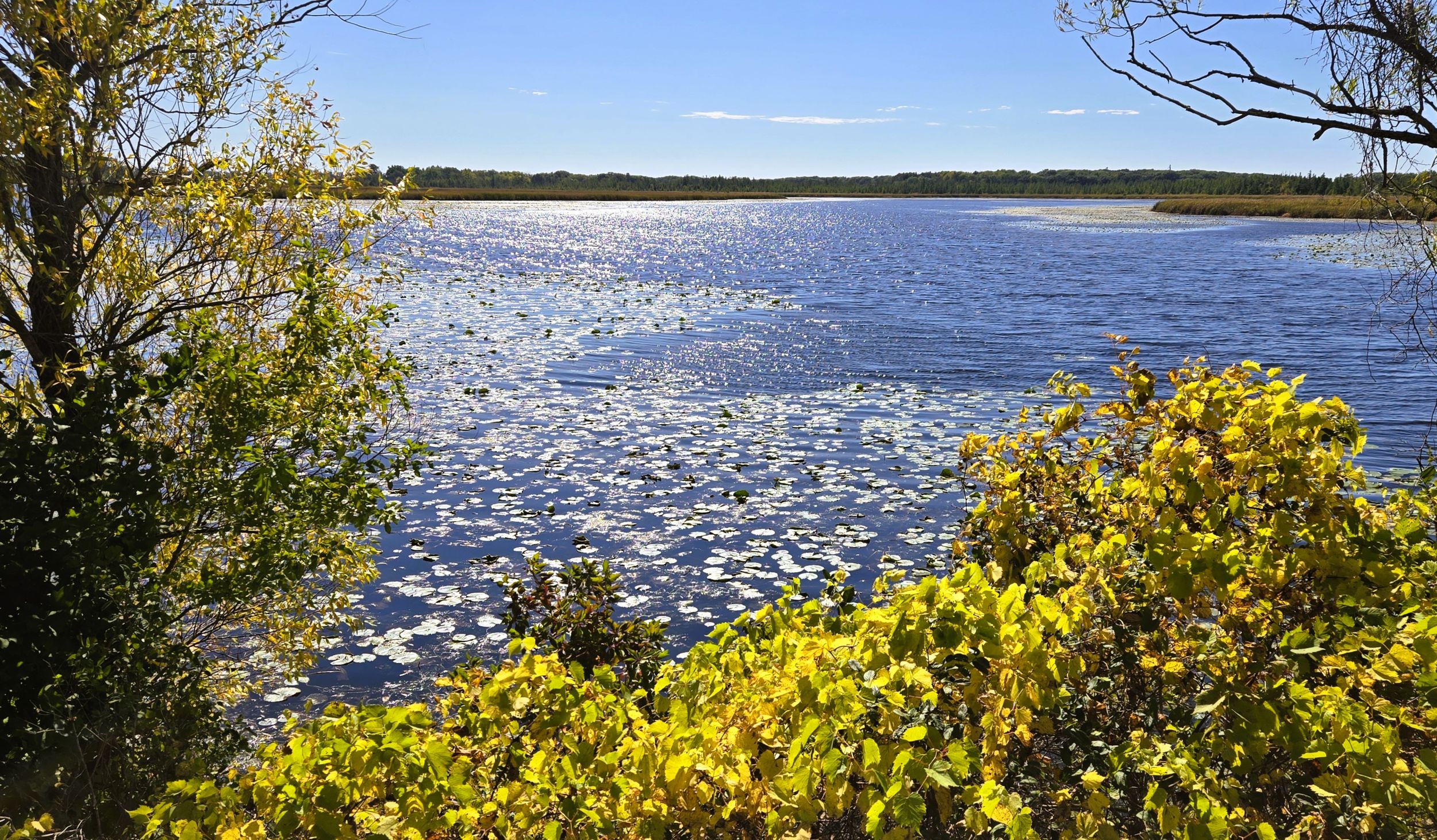
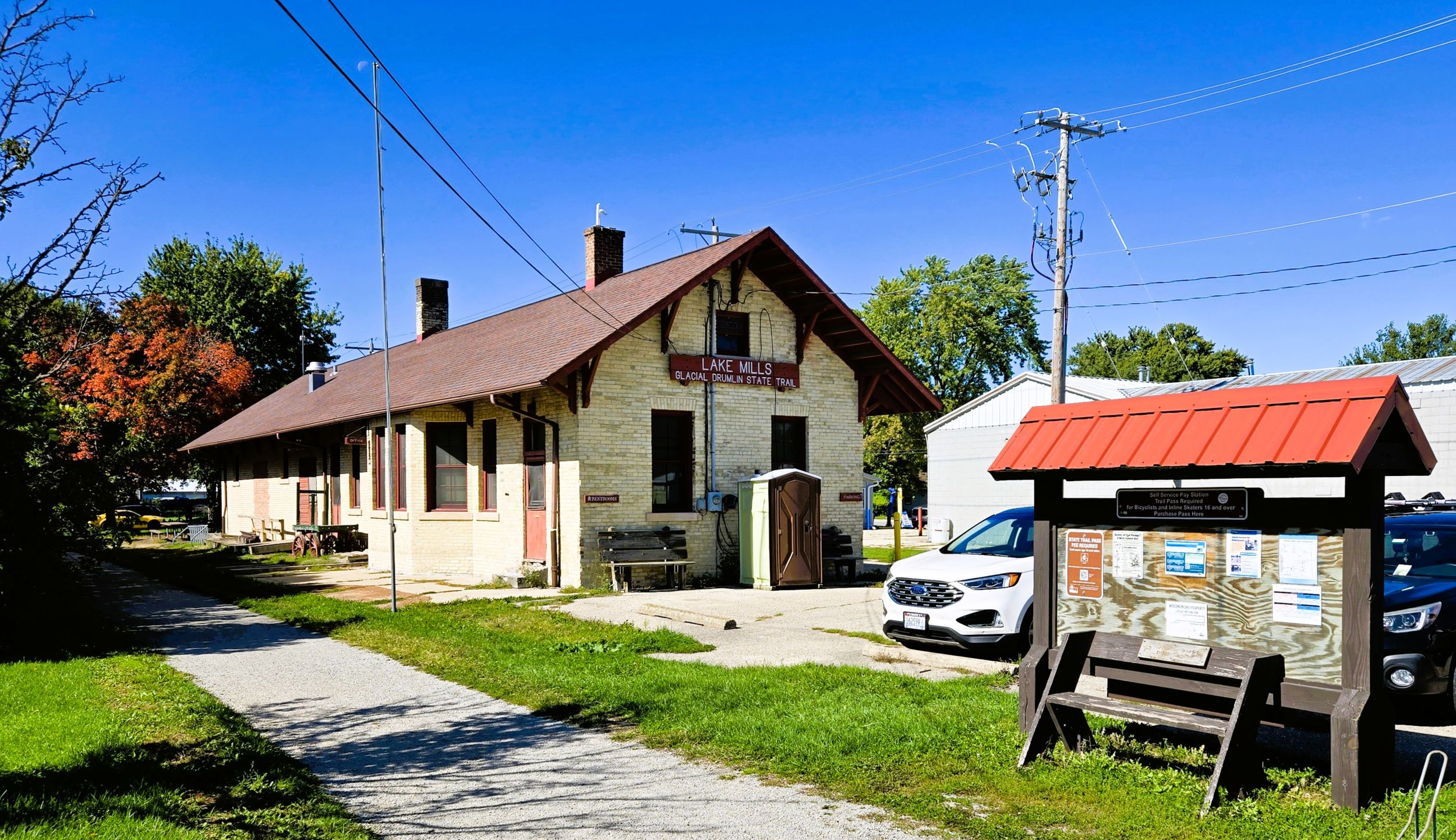
It is worth pausing to enjoy the view from the trestle bridge or one of the nearby remote rest spots. From there, it is one mile to the next trailhead location. At the trail’s junction with Wisconsin State Highway 89 (Main Street) is the old depot trailhead. This cream-colored brick Italianate structure was built in 1895 by the Chicago & North Western Railroad to serve Lake Mills. Additions were made to the building in 1900. In the 1980s, the depot was purchased and renovated by the Wisconsin DNR to be used as a trailhead.
The former ticket office was converted to a DNR office. The women’s waiting room now contains an interpretive display, and the baggage and freight areas were reconfigured to house restrooms and showers for trail-goers. Some historic features like wood flooring and trim, wainscoting, ticket windows, and furniture can still be seen today.
The trailhead also has a parking area, picnic shelter, bike rack, and information kiosk. It is located at 1213 S. Main Street (WI State Highway 89) on the south side of Lake Mills. It is easily accessed by car from Interstate Highway 94 (exit 259) or U.S. Highway 18. Drive south through Lake Mills on Main Street to reach the trailhead.
Lake Mills is situated on the east shore of Rock Lake. First settled by a man named Captain Megan, it was named “Lake Mills,” after the nearby sawmills. Lake Mills was chartered in 1836, and its first structure built in 1837. It was incorporated in 1852. In 1866 the village changed its name to “Tyranena,” but switched back to “Lake Mills” the next year. Tyranena is supposedly an indigenous word meaning “sparkling waters.”
There are many attractions in Lake Mills. Parks on Rock Lake offer boating and picnic amenities, including a few with sandy beaches. The downtown features a quaint square called Commons Park. It has a gazebo, benches, and picnic tables under shady trees.
Craft beer is sold at Tyranena Brewing Company, where light ales and flavorful porters are savored in an outdoor beer garden. Downtown, Lewis Station is known for low sulfite wines made with minimal additives. The Grist Mill Red is highly recommended. Jerzey Junction Ice Cream and Candy Shoppe is adjacent to the old depot trailhead and right next to the Glacial Drumlin State Trail. The ice cream parlor can get quite busy on warm weather weekends.
The Glacial Drumlin State Trail continues east from Lake Mills after crossing Wisconsin State Highway 89 (Main Street). Signs and a crosswalk help in crossing the highway safely, but there are no self-employed flashing lights. A half mile east of the intersection, a spur trail intersects the main path. To the left (north), the spur trail leads 0.8 miles to a simple trailhead on South C. P. Avenue. It has a parking lot and no other amenities.
At Lake Mills, the path’s route turns southeast. It travels through a corridor of trees and bushes after leaving town. Farms and fields fill the countryside. In late spring, dame’s rocket (Hesperis matronalis) blooms abundantly trailside with purple, magenta, or white flowers. In late summer, the trail sees brilliant yellow false sunflowers (Heliopsis helianthoides) growing nearby. Autumn brings lavender and purple New England asters (Symphyotrichum novae-angliae), and array of brilliant colors in maple and aspen forests.
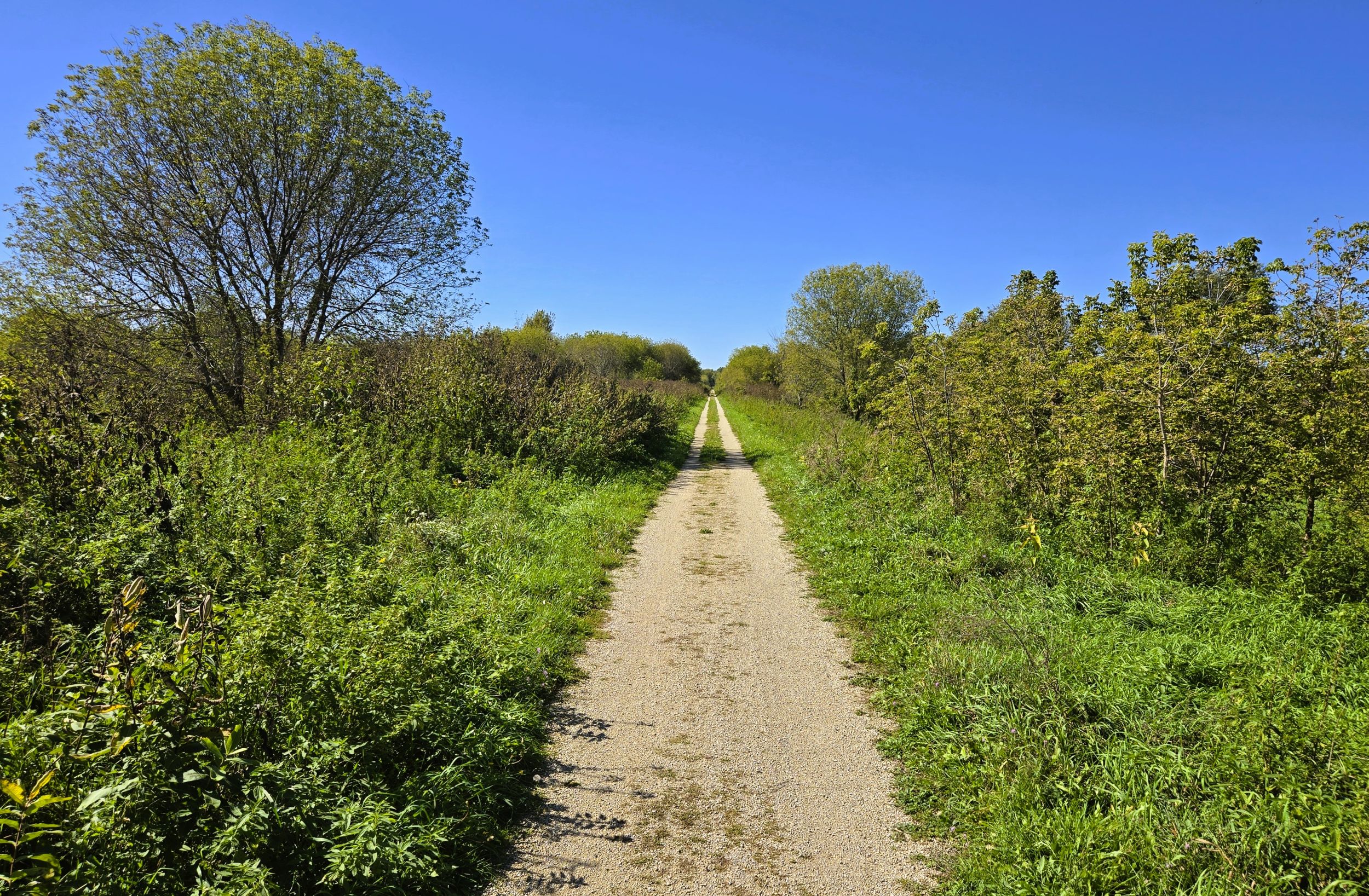
It is 3.3 miles from Lake Mills to the Crawfish River. Along the way, the Glacial Drumlin State Trail crosses Harvey and Mansfield Roads, and County Highway Q. From the county road, bicyclists may turn left (north) and trek 1.5 miles to Aztalan State Park.
This National Historic Landmark is home to an important archaeological site. An ancient Middle-Mississippian village thrived here by the Crawfish River between 1000-1300 A.D. The substantial settlement included large, flat-topped pyramidal mounds and a stockade around the village. Portions of the stockade and two mounds have been reconstructed in the park.
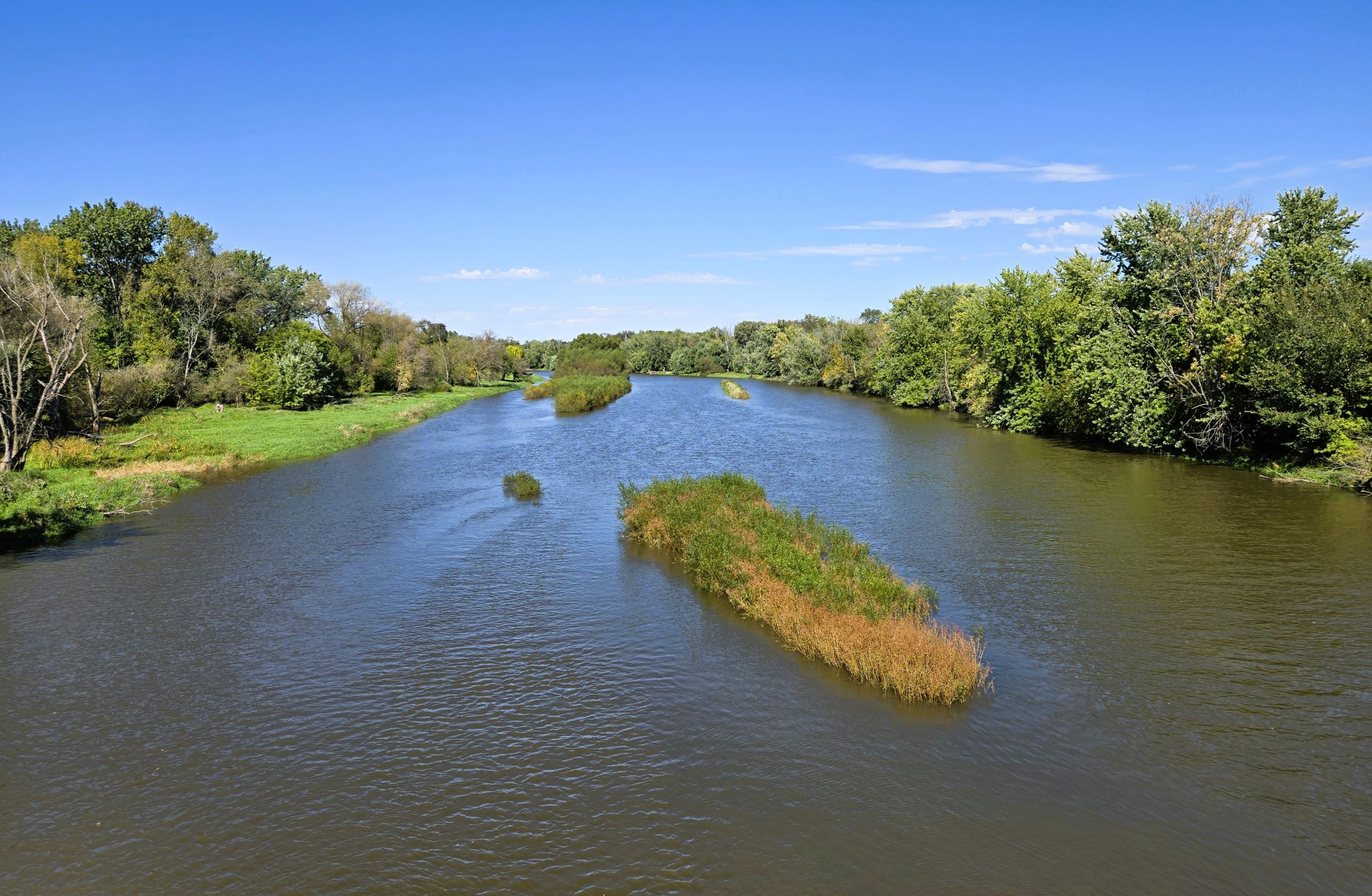
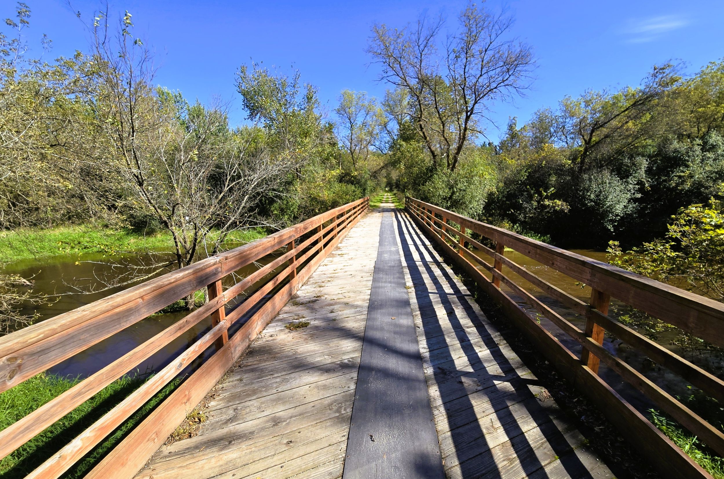
Back on the Glacial Drumlin State Trail, bicyclists next cross the picturesque Crawfish River on a 300-foot wooden bridge. The river views are astounding. The Crawfish River begins north of Columbus in Columbia County, traveling 80 miles through Dodge and Jefferson Counties to the Rock River. Along its way, the river passes next to Aztalan State Park. The Crawfish River joins the Rock River in the city of Jefferson.
Another picturesque scene occurs just 2.4 miles further, where the Glacial Drumlin State Trail crosses the Rock River. Before arriving there, the path crosses Popp Road and County Highway N. The bridge over the Rock River is 400 feet long, and it’s worth pausing on the bridge to enjoy a stunning view of this broad river. The Rock River begins in Fond du Lac County, near the village of Brandon and the Horicon National Wildlife Refuge. After traveling nearly 300 miles, the river empties into the Mississippi River at Rock Island, Illinois.
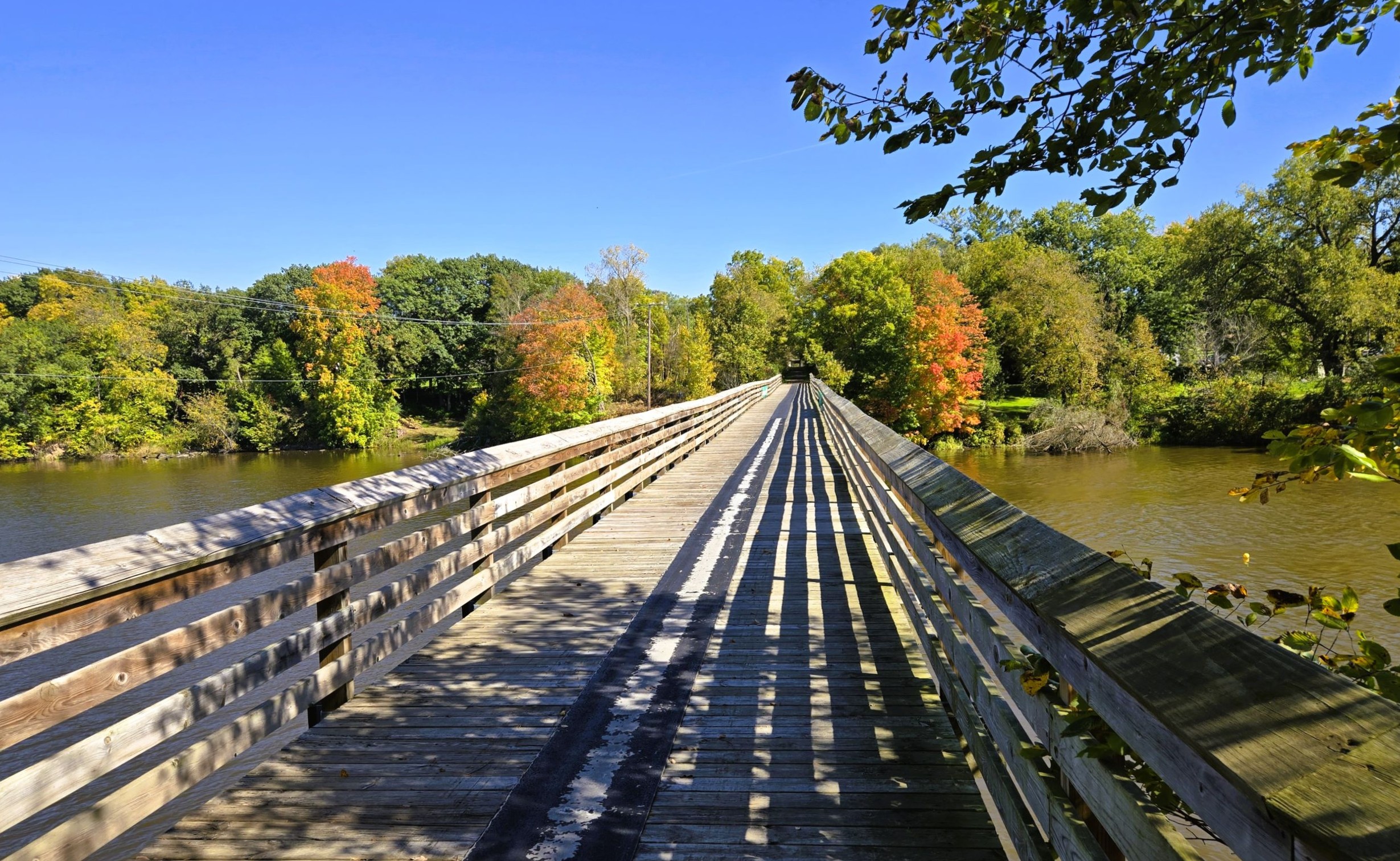
It is a short ride from the Rock River bridge to the Jefferson Junction trailhead. There is a parking lot, park bench, and information kiosk. It is located on Schreiber Road. To access the trailhead by car from Wisconsin State Highway 26, exit to Business Highway 26 (Indianhead Drive). Drive north 0.4 mile to the intersection with Schreiber Road. Turn left (west) on Schreiber Road and drive 0.2 mile to the trailhead.
Before or after a ride, bicyclists may want to visit the city of Jefferson, just a few miles south of the trailhead. Several cafes and restaurants are found in its historic downtown. A popular summer stop is Wedl’s Hamburger Stand and Ice Cream Parlor, a local establishment that’s been serving hamburgers and other comfort food since 1916. Stable Rock Winery and Distillery is located in an old livery and stable, and offers a variety of wines and spirits. The rum barrel-aged Cabarbet Sauvignon named Jefferson is highly acclaimed.
Jefferson’s Rotary Park is situated downtown along the Rock River. The park offers scenic views of the riverfront. It is not difficult to bike from the Glacial Drumlin State Trail to downtown Jefferson using bike routes and city trails. Rotary Park is an enjoyable place to pause, or end a ride. It has restrooms, a band shelter, park benches, and picnic tables. The park offers a splendid view of the Rock River as it tumbles over the dam.
The city of Jefferson was originally settled due to its water power potential: in 1839, this location was the furthest that a steamboat could travel up the Rock River. Settlement began in the 1830s with an influx of settlers from New England. During World War II, Camp Jefferson, a prison camp for German POWs, was built at the Jefferson County Fairgrounds. Today, Jefferson is the county seat for Jefferson County.
Map of trailheads and addresses along this section of the trail.
A bike ride from London to Jefferson Junction on the Glacial Drumlin State Trail is 11.5 miles. The scenery along the way is charming. The landscape features marshes, forests, and farmlands, and views of two different lakes and rivers add to the appeal. Lake Mills also has a lot to offer trail-goers. A ride on this trail section is simply delightful.
Trail last ridden and documented in October, 2026.