Military Ridge State Trail: Blue Mounds to Riley
The Military Ridge State Trail offers bicyclists a pleasant ride as it descends Blue Mounds, passes through Mount Horeb, and journeys downhill into the Upper Sugar River Watershed to Riley. Along the way, the trail also passes through the community of Klevenille. The route descends nearly 400 feet over its 11.7 miles, making for a relaxing ride. The landscape along the trail varies. Much of the route passes through shaded forests, but the last section travels through open meadows and marshes surrounding the Sugar River.
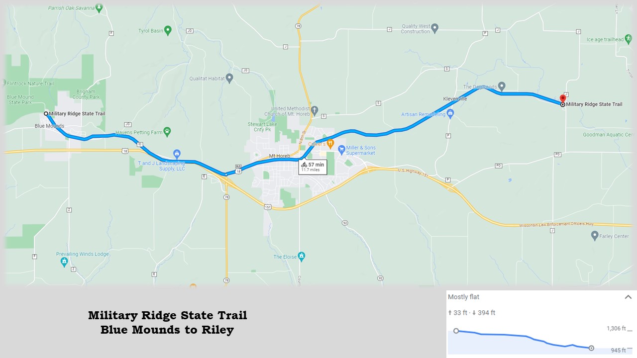
The surface of the Military Ridge State Trail is compacted limestone, in very good condition. The path is paved with asphalt through Mount Horeb. In a few places, the surface is paved for short distances. In other downhill sections, especially from Mount Horeb to Klevenville, sandy washouts are found on the path. Bicyclists should watch for these spots of loose and eroded sand. Pesky holes from gophers and other small animals plague the trail from Blue Mounds to Mount Horeb. Some of the holes are marked with red ribbon on sticks.
With their distinctive shape, Blue Mounds served as a geographic landmark for Native Americans and white settlers. The first white American to settle there was Ebenezer Brigham in 1828. He arrived during southwest Wisconsin’s lead rush. Other miners later joined him. During the Black Hawk War in 1832, Brigham and others constructed a fort at Blue Mounds to protect themselves from factions of warring Native Americans. A historical marker on County Highway F describes this event, and is easily accessed from the trail.
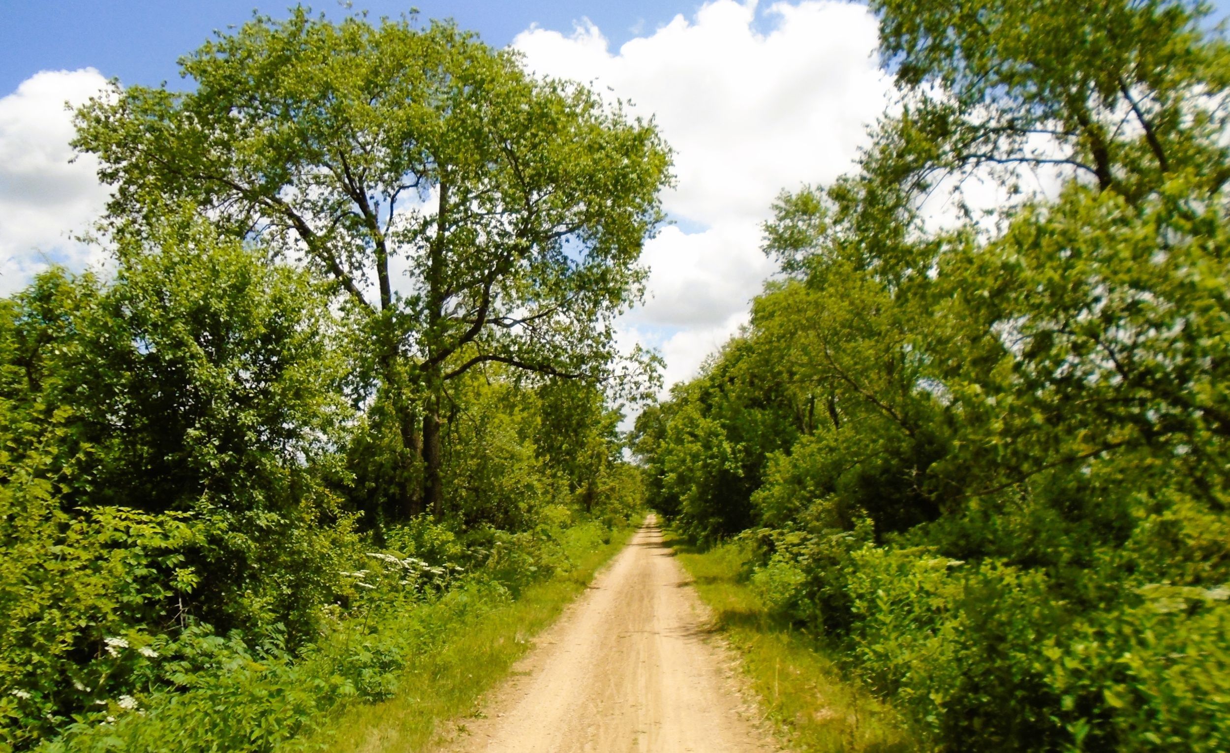
A crude military road, built in 1835 by American troops from Fort Crawford in Prairie du Chien, was constructed along the south side of Blue Mounds. It traveled to Fort Winnebago at Portage, and on to Ft. Howard in Green Bay. The road contributed in bringing more settlers to the area, including Norweigian immigrants who came in the mid-1840s. Later, the advent of the Chicago and North Western Railway helped the community grow, leading to the incorporation of Blue Mounds as a village in 1912.
Blue Mounds has amenities to serve visiting trail-goers. It is home to two gas stations and convenience stores. It also has taverns and restaurants. A special attraction in the village is Blue Mounds Opera House. Built in 1868, the historic building has been beautifully refurbished. Today, the Blue Mound Opera House is a multi-purpose venue that includes Obert Alvin Coffeehouse, a versatile event space, and cozy vacation rental. It is located 350 yards off the trail, across the street from Blue Mounds Bicycle Works.
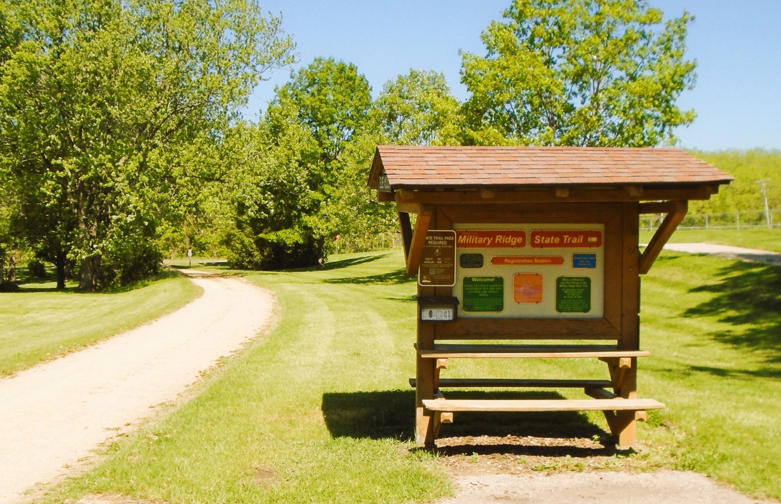
Mounds View Park serves as a perfect starting place in Blue Mounds for a ride on the Military Ridge State Trail. It is located next to the path on the north side of the village. To reach the village park by car, exit U.S. Highways 18-151 at Blue Mounds and go north on County Highway F. Turn left (west) on County Highway ID, travel a half mile, and turn right (north) on Mounds Road. The park is on the right (east) side of the road after driving 0.3 mile. It has a parking lot, restrooms, information kiosk, playground, and picnic area.
Upon leaving the park traveling southeast, the Military Ridge State Trail begins a slow descent in elevation. It crosses Bigham Avenue and Mounds View Road in the first 0.3 mile. To visit Obert Alvin Coffeehouse at the Blue Mounds Opera House, turn right (south) onto Mounds View Road. Continue right (east) on Division Street for two blocks, and turn right (north) on Main Street. The bike shop is to the right (east) and the coffeehouse is on the left (west) side of the street. The shop offers a cozy place to enjoy coffee, beer, wine, or cider.

Continuing on from Mounds View Road, the Military Ridge State Trail advances one mile through a corridor of trees and past residential neighborhoods. It then arrives at a spur trail. The paved Brigham Trail goes left (north) up the eastern mound to Cave of the Mounds National Natural Landmark and Brigham County Park. It is a half mile to Cave of the Mounds and 1.3 miles to Brigham County Park, uphill all the way. The county park has a campground, two shelters, picnic area, playground, hiking trails, and interpretive markers.
Cave of the Mounds National Natural Landmark is a unique tourist attraction. The site features a natural limestone cave located in the east mound’s southern slope. The cave is 1,692 feet long, making it the fifth longest in Wisconsin. It also contains the oldest dated cave formations in the Midwest. The cavern was accidently discovered in 1939. A year later, the developed tourist site opened to the public. Visitors are treated to tours of the cave with its amazing geologic formations, including stalactites and stalagmites.
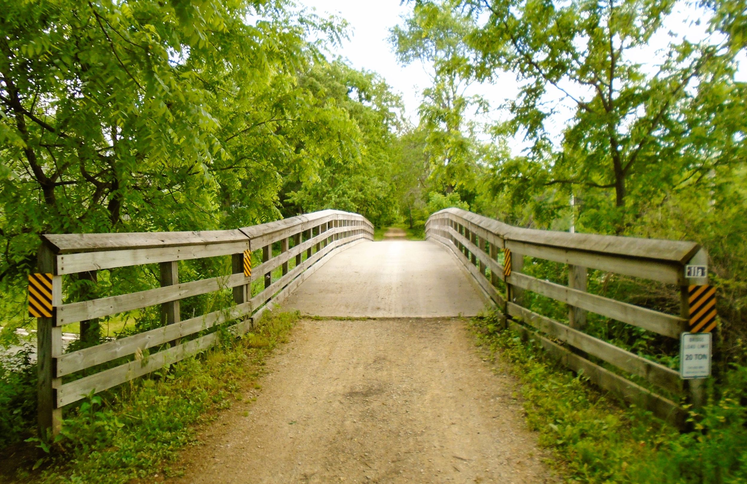
Just east of the Brigham Trail junction, the Military Ridge State Trail passes through a tunnel under County Highway ID, and continues its slow decent. After a mile, it begins a gentle climb upward as it proceeds parallel to U.S. Highways 18-151. In summer months, light blue flowers of the chicory plant speckle the side of the path, and tall sumac plants occasionally create a barrier between the highway and trail.
It is 1.5 miles from the Brigham Trail junction to Erbe Road. At this intersection is a VFW park. It has a covered picnic shelter and parking lot next to their lodge. It may serve as a trailhead. The address is 2787 Erbe Road in Blue Mounds, and it is accessed by car from U.S. Highways 18-151. The route continues gradually uphill for 1.3 miles to Wisconsin State Highway 78. After crossing the highway, the trail enters Mount Horeb.
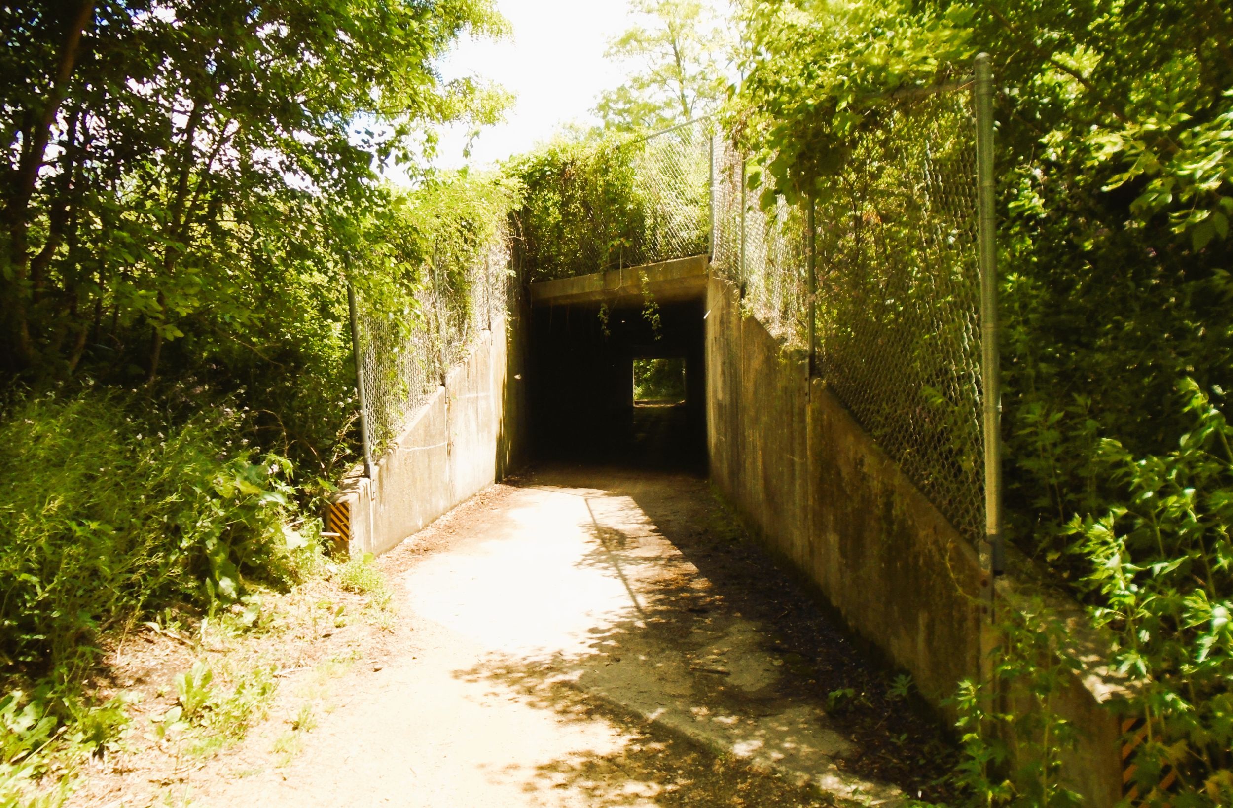
It is nearly two miles from Erbe Road to the village of Mount Horeb. Along the way, the route climbs in elevation about 35 feet. The open landscape here provides little shade. The roar of traffic is seen and heard from the U.S. highway to the right (south). The less busy County Highway ID runs adjacent to the trail to the left (north). Before entering Mount Horeb, the path crosses Wisconsin State Highway 78 at an unmarked intersection. Caution is required when crossing the highway. Trail signs announce the entrance into Mount Horeb.
It is 0.8 mile from Wisconsin State Highway 78 to Blue Mounds Street. There is a bike rack, park bench, and interpretive display next to the trail at that intersection. Different informational panels highlight the human and natural history of the area. Continuing to the east, the route advances 0.3 mile to the main trailhead between 1st and 2nd Streets. The renovated old train depot serves as a comfort station. The site has a parking lot, bike racks, flush toilets, drinking water, covered picnic area, and information kiosk.
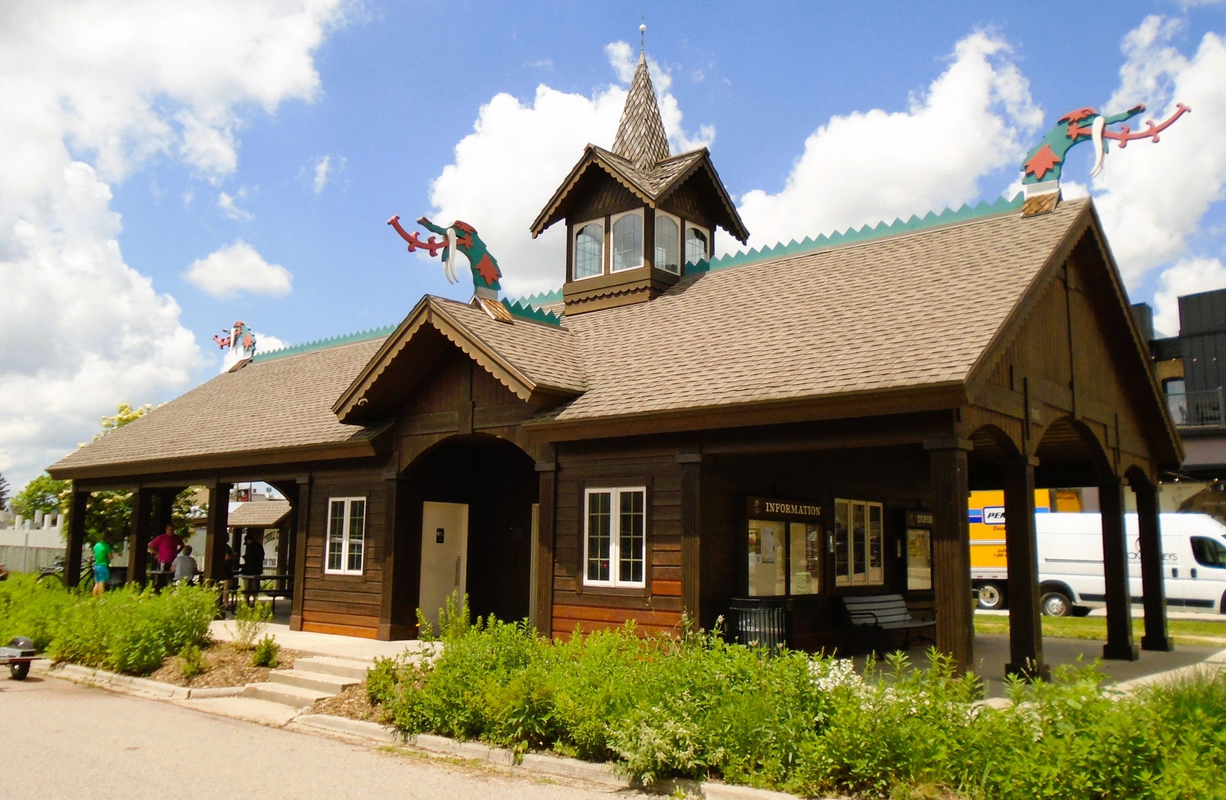
The old train depot trailhead in Mount Horeb is easily reached by car. Take exit number 65 from U.S. Highways 18-151 and drive north on Wisconsin State Highway 78. At the stop sign, follow it to the right (east) into Mount Horeb for 1.2 miles. Turn right (south) on 2nd Street, and continue two blocks to the depot, located on the right (west).
The old military road traveled atop the ridge where Mount Horeb is now located. Originally, this was the ancestral land of the Ho-Chunk Nation. First named “The Corners” in 1861, the village was renamed by postmaster, George Wright, to its biblical name due to the high elevation. Norwegian immigrants settled there in the 1870s. The heritage adds to the village’s character. Statues of trolls are placed throughout the village. Near the trailhead is the Driftless Emporium. This museum is managed by the Mount Horeb Area Historical Society, and conveys the story of Southwestern Dane County from pre-history to modern day.
Mount Horeb has several places to dine near the trail. The Grumpy Troll, a popular brew pub, serves ales and lagers along with delicious food. Brix Cider is a next to the trail. It offers an assortment of ciders and various flavorful dishes to eat. Patrons may also enjoy a scoop of Calliope Ice Cream there. Moho Jo Coffee Bar offers quality coffee in nearby Maker’s Market Square. The Sugar Troll Candy Store sells a variety of sweet treats, including gelato. Trail This Bicycle Shop is near the path, and offers bicycle sales and service.
Returning to the Military Ridge State Trail, the path departs the comfort station and crosses 2nd Street, heading east. It passes by the headquarters for Duluth Trading Company, and begins a descent of 60 feet in elevation over the next mile. In this distance, its passes through a corridor of trees that provide shade and seclusion from the village. The path crosses 4th and 8th Streets, and travels underneath 6th Street. Wisconsin State Highway 92 follows 8th Street. Self-employed flashing lights assist trail-goers across this intersection.
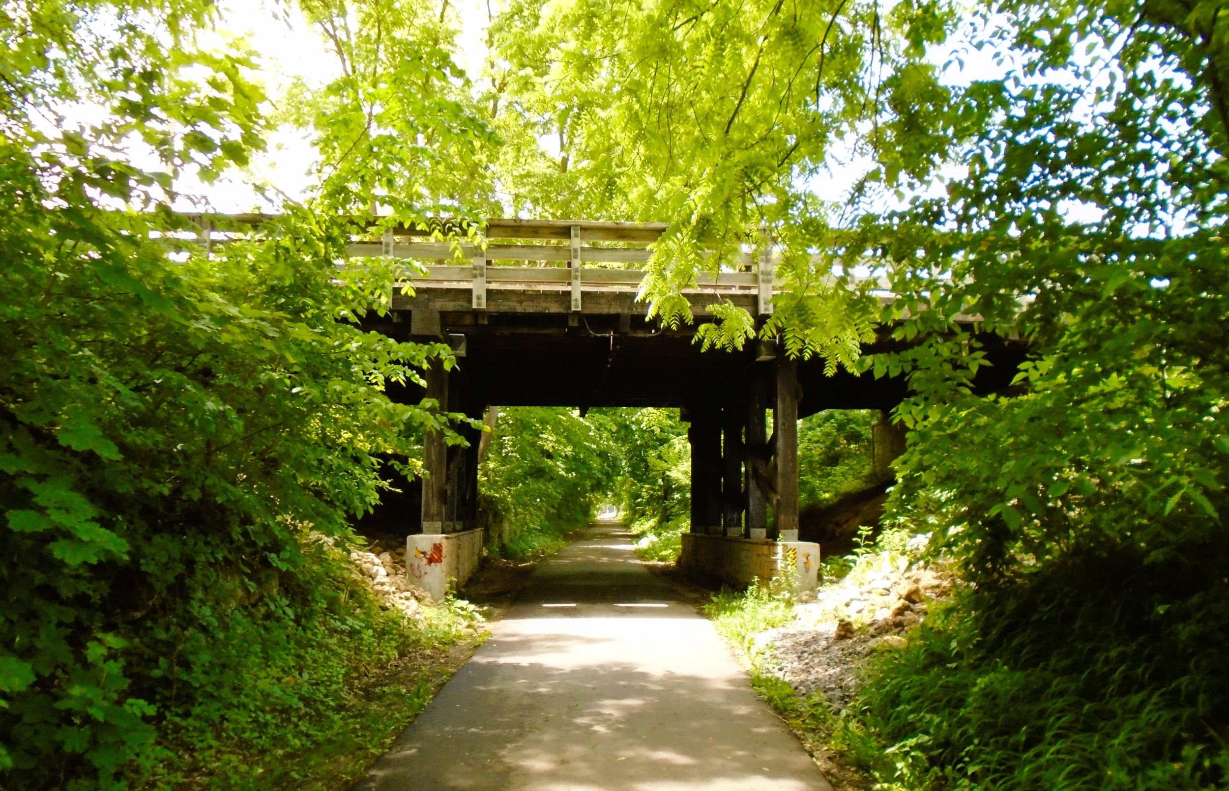
After 8th Street, the trail turns to the northeast and continues through the corridor of shady trees. Before the County Highway ID overpass, a spur trail to the right (east) leads to Cox Drive and Icki Sticki, a fun place to enjoy a Chocolate Shoppe Ice Cream treat or coffee drink. After bridging the county highway, the Military Ridge State Trail crosses Brian Street.
At the intersection with Brian Street is another Mount Horeb trailhead. Waltz Park has street parking, playground, basketball and volleyball courts, soccer field, ball diamond, and picnic shelter with restrooms and drinking water. To access the park by car, take exit 69 onto County Highway ID from U.S. Highways 18-151. Travel one mile to the fourth roundabout. Take the first right (north) onto Perimeter Road, then turn left (north) onto Brian Street.
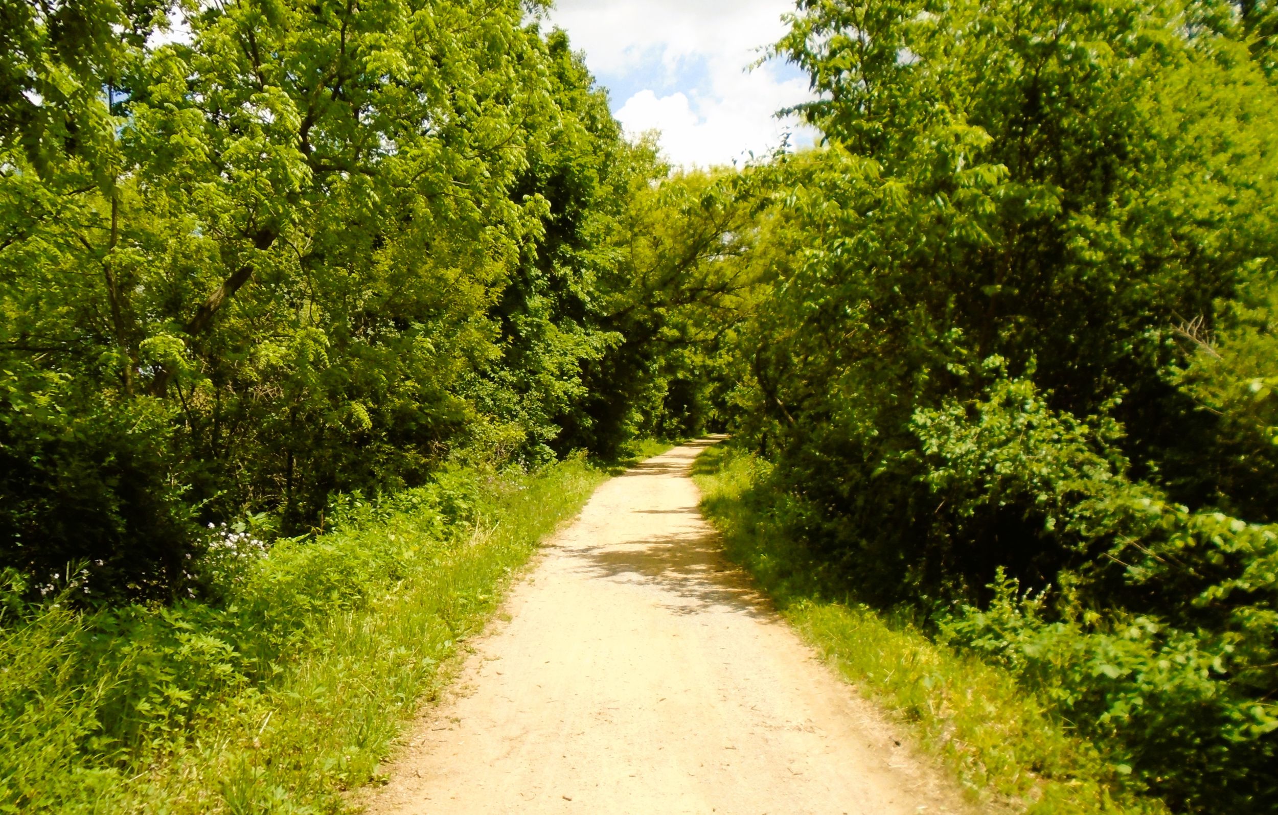
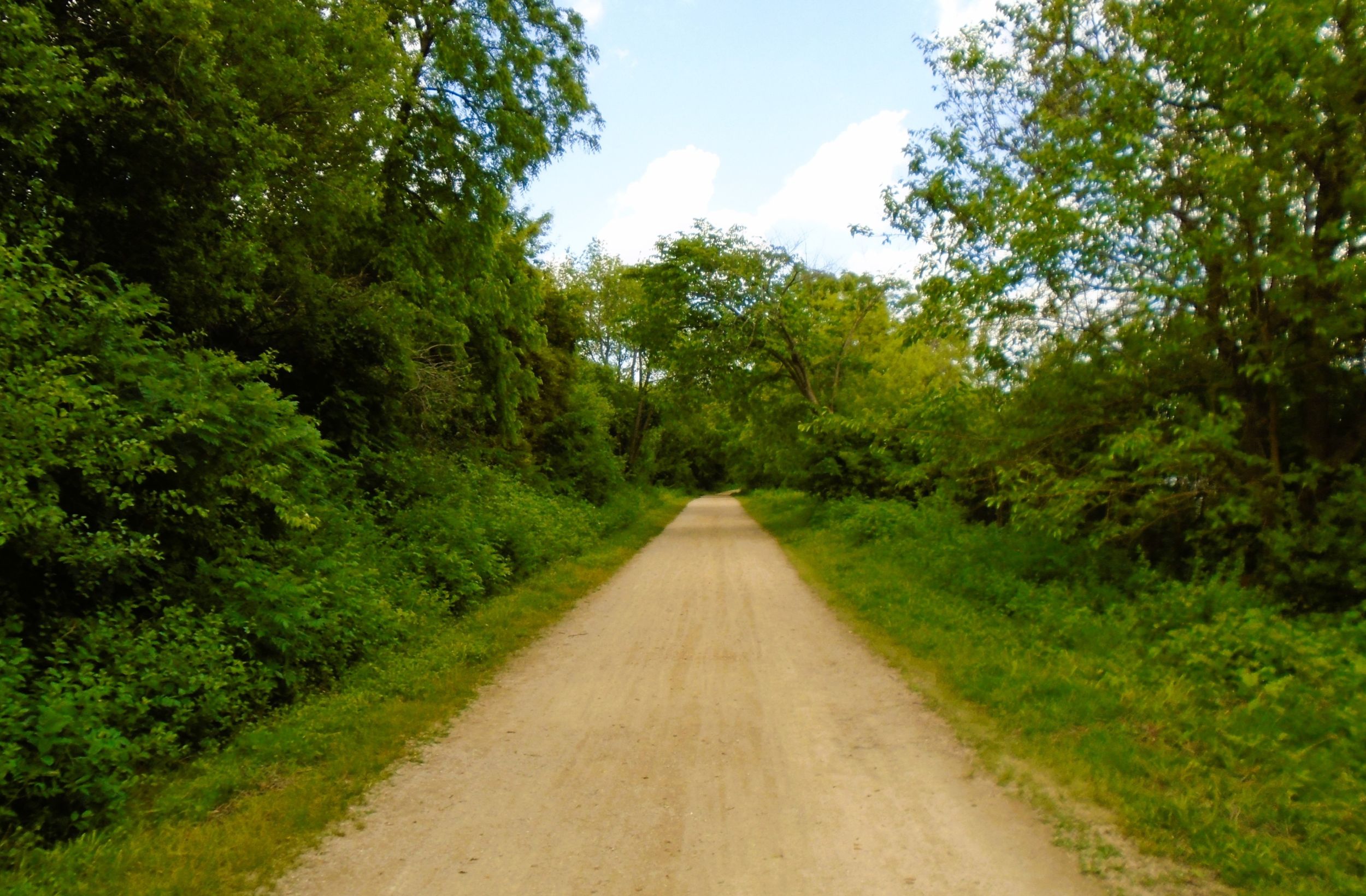
Upon departing Mount Horeb and Waltz Park, the Military Ridge State Trail leaves its namesake eminence and the route of the old military road. The path advances to the northeast and begins a gradual drop of over 200 feet in 3.5 miles. This is the route of the former Chicago and North Western Railway line. The descent takes the trail into the lowlands of the Upper Sugar River Watershed. Traveling downhill though the shade of maple forests is delightful. But keeping eyes on the trail is suggested, especially after periods of heavy rain. Ruts, loose sand, and washouts may pose problems if not seen beforehand.
It is 2.7 miles from Waltz Park in Mount Horeb to County Highway P in Klevenville. In this section, the trail bridges several creeks and ravines, and crosses Town Hall Road. An interesting site located along the path is an old quarry from the days of the Chicago and Northwestern Railway. A fence along the trail provides safety, since the quarry drops down over ten feet. An interpretive marker conveys how the quarry was created in 1880 to extract stone to build railroad bridges. Several quarries existed along the rail line.
At the trail’s intersection with County Highway P is the unicorporated community of Klevenville. Iver Kleven was a Norwegian pioneer who settled here in the mid-1840s. He served as the community’s postmaster and managed a local lumber business. Originally called “Bluff Post Office” in 1882, the settlement developed around agriculture and the coming of the railroad. Its name was changed to Klevenville in 1891.
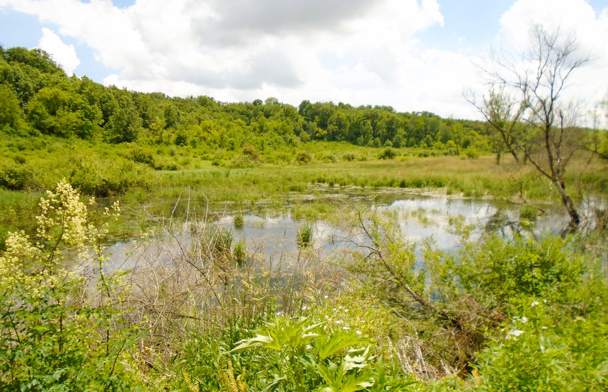
Self-employed flashing lights provide safe crossing over County Highway P on the Military Ridge State Trail. The forest gives way to a vast, open marshland. This wetland surrounds the tributaries of Sugar River. Less than a half mile from the county highway, the trail crosses one of these tributaries. The surrounding lowlands have become flooded due to the vigorous work of beavers. At the bridge, their den is visible to the right (south), while their dam creating the swamp is to the left (north). It’s worth pausing to enjoy the view there.
Over the next half mile, the trail bends to the southeast as it passes through a wooded cut in a ridge. The adjacent Klevenville-Riley Road climbs up the ridge, but as a former railway line, a cut was made through the limestone to provide a level grade. This short section of the path is paved with asphalt. Upon departing the cut, the Military Ridge State Trail travels nearly another mile, crossing Keith Bridge Circle and Klevenville-Riley Road.
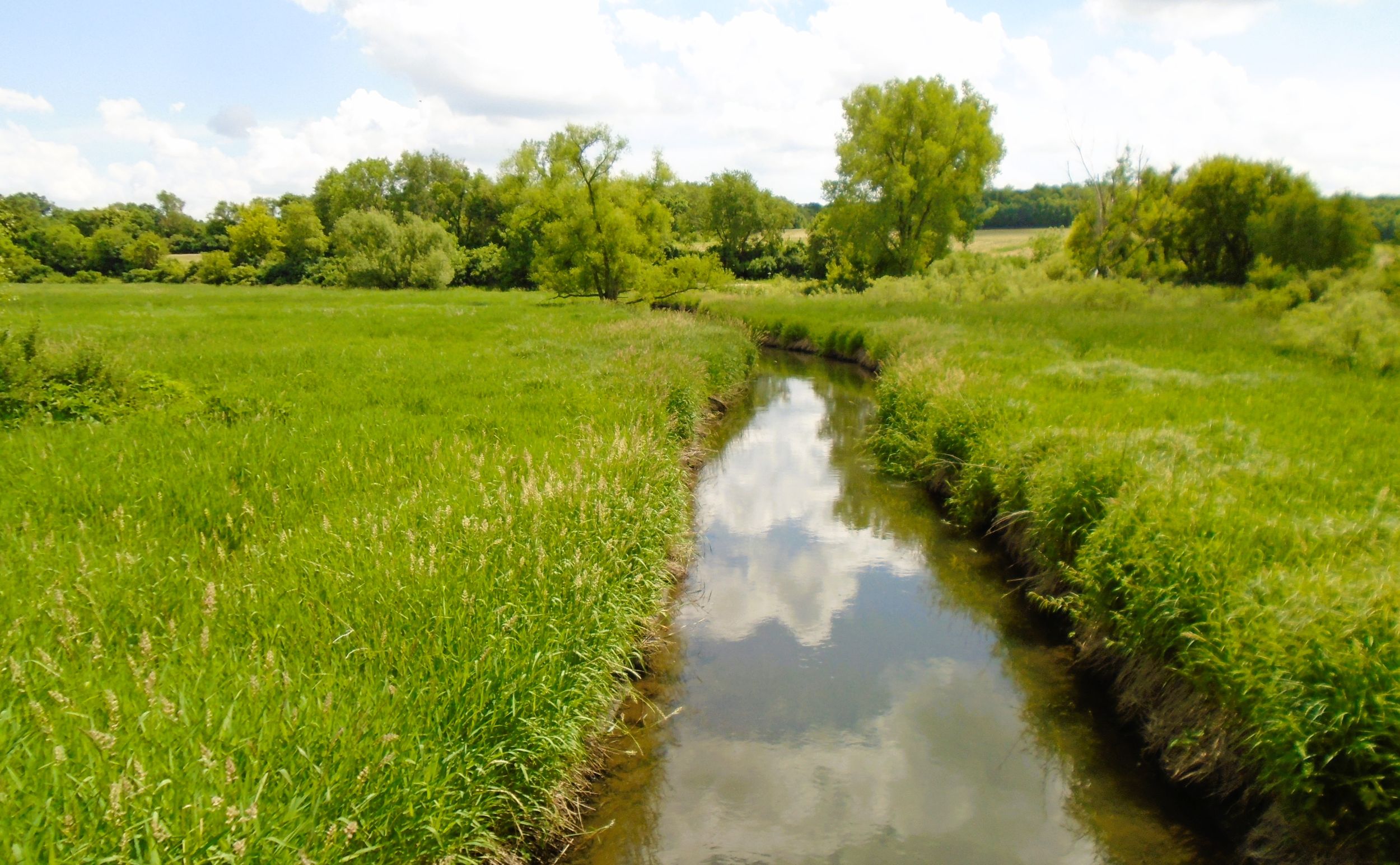
After crossing Klevenville-Riley Road, the trail enters a large open meadow and marshland. Immediately after crossing the Sugar River, the trail features an observation deck to the left (north). The platform offers great views of the Sugar River valley, and the DNR interpretive signs provide an education on the area’s natural and human history. A bike rack and park benches allow trail-goers to relax and observe the sights, smells, and sounds of the land.
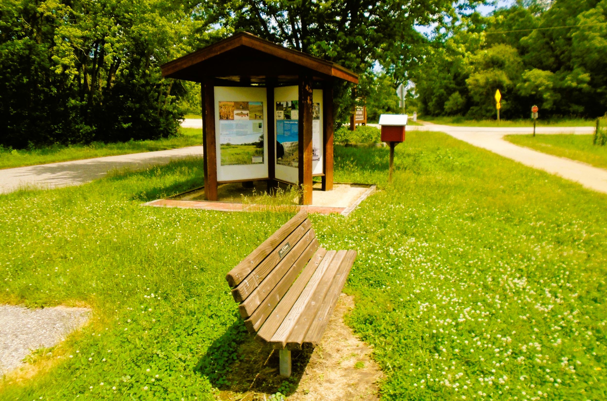
It is 2.5 miles from County Highway P to the trailhead in Riley. It located on County Highway J and has a parking lot, information kiosks, park benches, picnic table, portable toilet, and little free library stand. An interpretive display there, similar to the one in Mount Horeb, reveals Riley’s history. Of note is the community’s development with the coming of the railroad, and its ongoing efforts to preserve the environment of the Sugar River Wathershed.
To reach the Riley trailhead by car, exit north from U.S. Highways 18-151 onto Dry Ridge Road It is at mile marker 73 between Verona and Mount Horeb. Road signs indicate the route north to County Highway J. Drive 0.2 mile on Dry Ridge Road to the stop sign, and turn left (north) on the county highway. It is 2.6 miles further north to Riley. For a short distance, County Highway J travels east on County Highway PD, before turning north again.
Map of trailheads and addresses along this section of the trail.
The arrival of the Chicago and North Western Railway in 1881 contributed to the development of Riley, on land belonging to William Riley. Originally named “Sugar River Station,” the town had a population of 100 citizens at the start of the 20th century. It was home to a creamery, stables, a depot, stockyards, church, and a large hall. Riley Tavern still stands there today. It was built by John E. Brown as a general store and post office in 1884. Living quarters were on the upper floor. In 1948, it opened as a tavern. Today, it is a popular hangout on weekends, and worth a stop for good food, cold drinks, and live music.
A ride on the Military Ridge State Trail from Blue Mounds to Riley goes 11.7 miles. Along the way, the route passes through the scenic village of Mount Horeb and small community of Klevenville. Additionally, it advances though a section of the Upper Sugar River Watershed, with its open marshes and meadows. The path descends in elevation, creating a comfortable ride. The picturesque landscape also makes the excursion pleasing and memorable.
Trail last ridden and documented in June, 2026.