The “400” State Trail: Wonewoc to Elroy
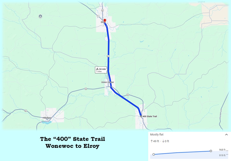
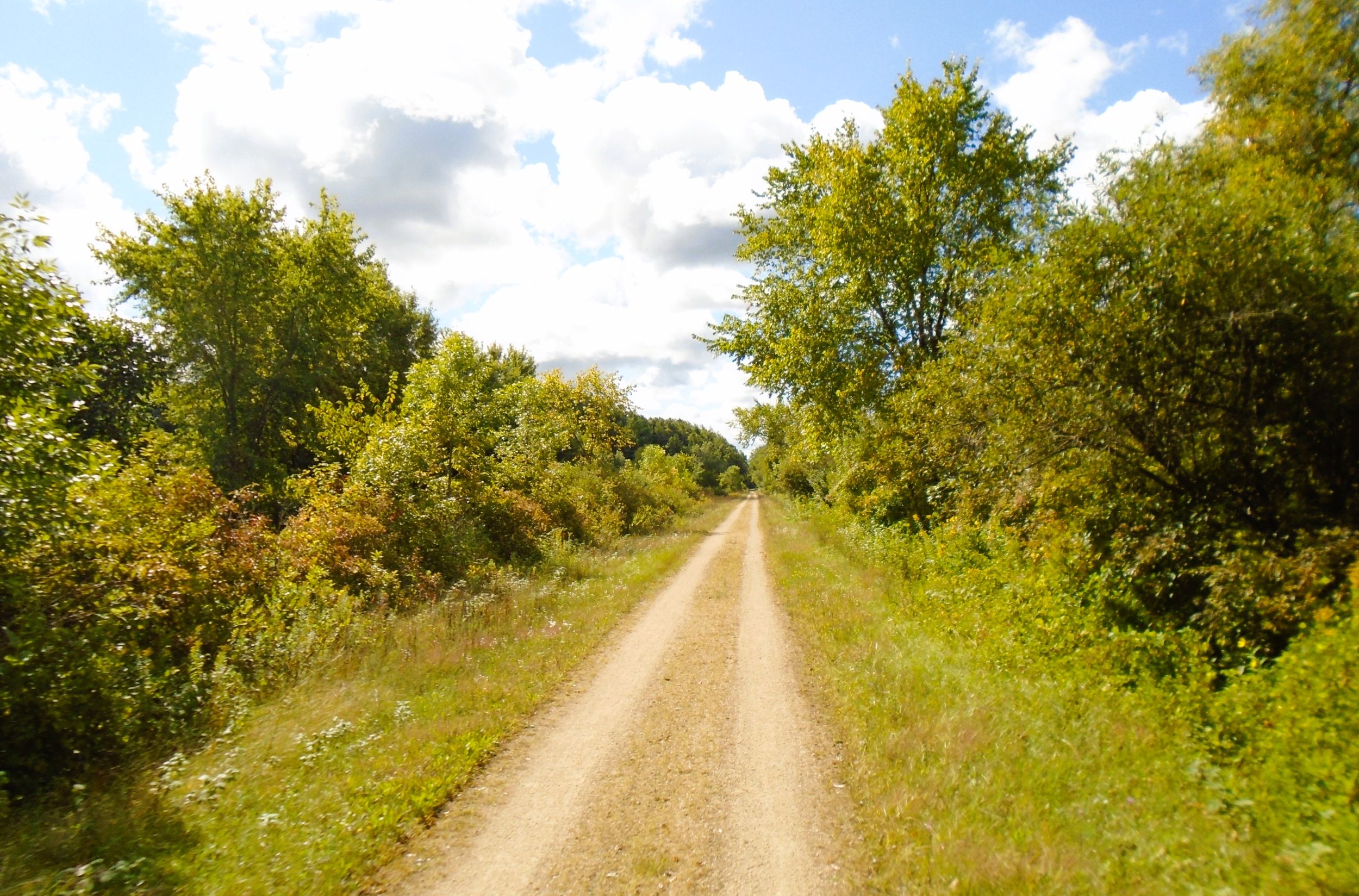
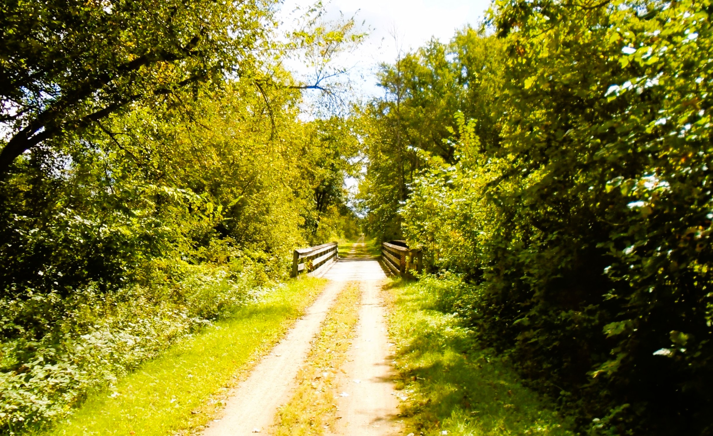
It is seven miles from Wonewoc to Elroy on the “400” State Trail. This section of the path also travels through Union Center. The landscape surrounding the trail is mostly low, wetland forests. The meandering Baraboo River is never far away, and crosses the trail five times in this section. Across the open river valley, forested bluffs appear not far off in the distance. Several of these bluffs have substantial rocky outcroppings.
The path’s surface is in good condition. The gradient rises about 50 feet over its seven miles. In Union Center, caution is required when crossing Wisconsin State Highway 33. There are no self-employed flashing lights to warn drivers of crossing trail-goers.
The Wonewoc trailhead is between Gordon and Washington Streets. It has a large parking lot, restrooms with flush toilets, drinking fountain, picnic shelter, self-service bicycle repair station, bike rack, firepit with benches, and historical marker. To reach the trailhead by car, turn west on Gordon Street from Wisconsin State Highway 33.
Several dining establishments offer food and beverages in Wonewoc. A convenience store, restaurant, and several taverns are located on Center Street, one block off the trail. Center Street Coffee, Ice, Cream, and Treats is nearby in downtown Wonewoc. It sells Cedar Crest Ice Ceam, but also offers muffins, scones, cinnamon rolls, and other treats. Beyond Boundaries Canoe, Kayak, and Bike Adventures can’t be missed. Located directly on the trail, the company offers outdoor activity rentals and shuttles services.
Wonewoc’s name is interpreted as “howling hills” in the Ho Chunk language. Another version offers a little more levity: Wonį́wąk has also been understood to mean “naughty or foolish thinking” in Ho Chunk. According to local legend, a settler asked a native resident what the place was named, and the Native American replied that the man was a fool.
Lumber prospectors came to this area in 1842. Before that, it was home to the Ho-Chunk Nation. They ceded their land to the U.S. Government during the 1830s. White American settlers arrived in 1851. The village was incorporated in 1878, and grew with the advent of the railroad. When the rail line closed, the village’s growth diminished.
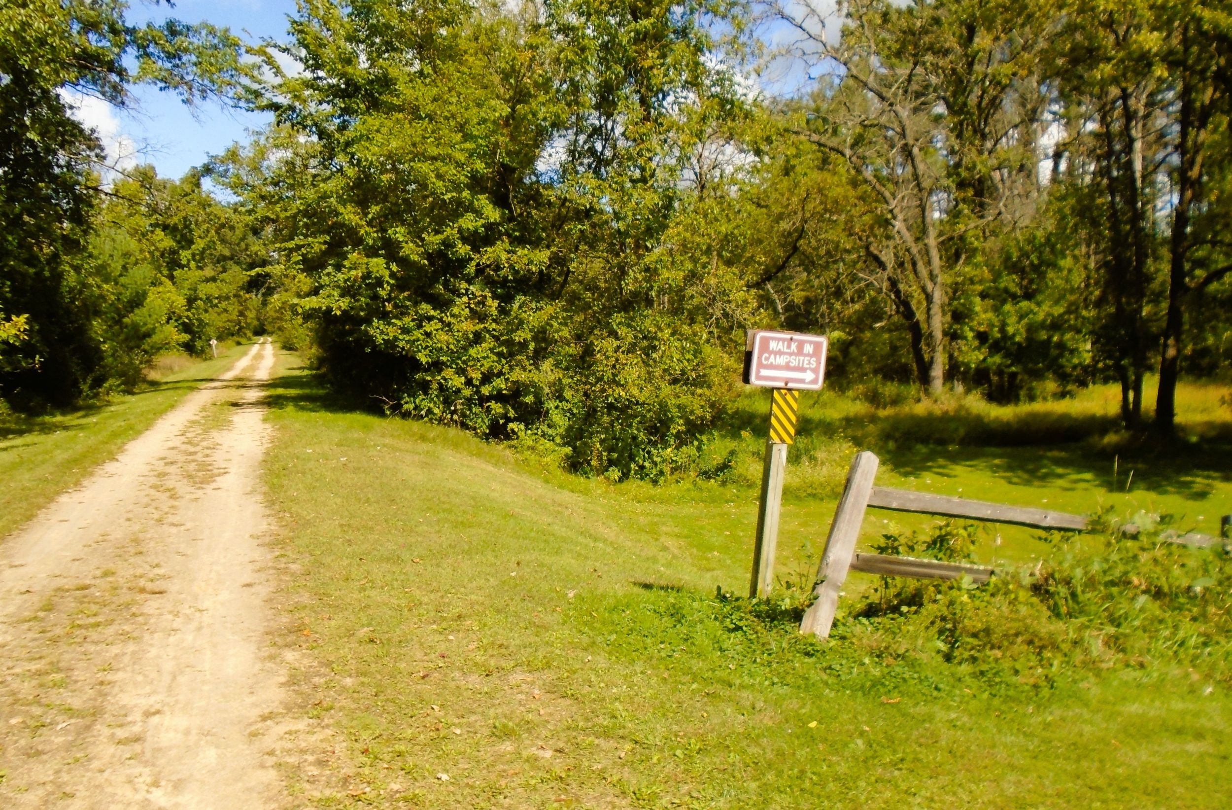
Back on the “400” State Trail, the path goes north out of Wonewoc near the Baraboo River. Less than a half mile up the trail is a sign for Baker’s Field Campground. The primitive camping area has no facilities except firewood and a fire ring. Trail-goers staying overnight carry in what they need, and pack out their refuse. There is no fee to use the campsites.
Camping is also available at Wonewoc Legion Park. It is located a half mile away from the trailhead on Pine Street. The full-service park features an outdoor swimming pool, restrooms, and hot showers. Restrooms with flush toilets and showers are located at the pool. Otherwise, the campgound has clean portable toilets. Campground sites are equipped with electrical and water hookups, picnic tables, firewood, and fire rings.
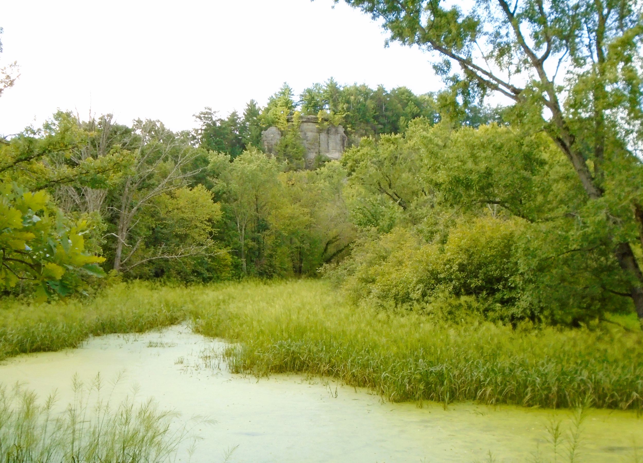
The “400” State Trail travels north from Wonewoc through low wetland forests and next to a bend in the Baraboo River. The path turns slightly to the northwest. It follows the Baraboo River upstream, and bends around a tall bluff towering 200 feet above the valley. The outcroppings on this prominence have resulted in the name “Castle Rocks.”
From the trailhead, it is one mile to the Wonewoc-Center Outdoor Learning Area. This 97-acre tract of land was obtained in 1993 by the Wonewoc and Union Center School District for use as an outdoor classroom. Hiking trails, picnic areas, observation platforms, and a classroom facility are near the trail. Visiting students learn about and appreciate nature as they roam the sloughs, bluffs, marshes, and meadows of the Baraboo River valley.
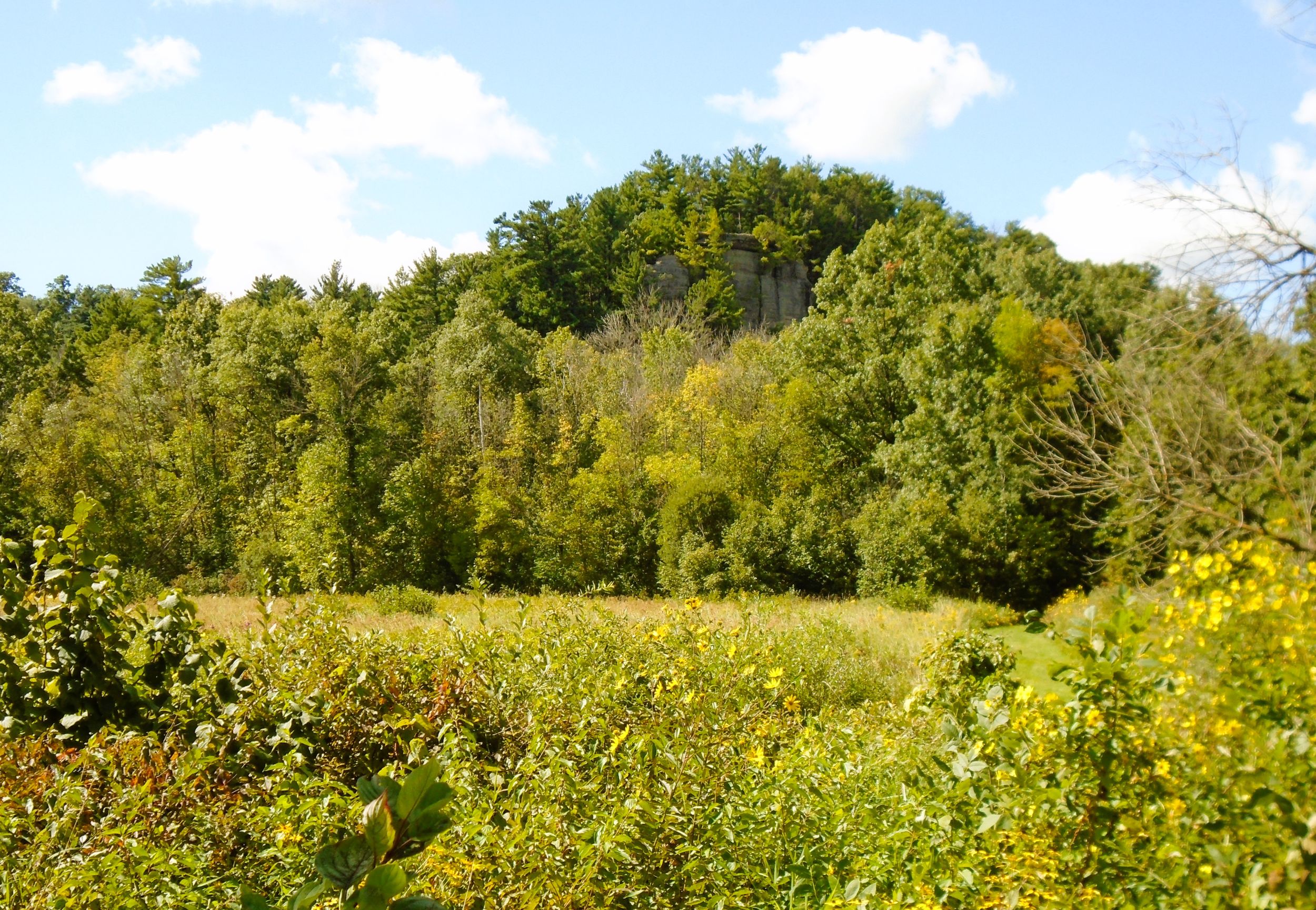
Interpretive markers are located on the trail in the Outdoor Learning Area. One marker shares geologic history, identifying the “Third Castle.” This rocky feature can be seen west of the trail among the bluffs. The first two castles are hidden from view, but the third one is clearly noticeable. It rises from the Baraboo River, creating a shady, cool climate for hemlock trees. The Outdoor Learning Area is home to a variety of waterfowl and other birds.
From the Outdoor Learning Area, it is 1.6 miles to Union Center. Along the way, the route crosses the Baraboo River twice. It also passes through a cut in a ridge protruding into the valley. In the early 1870s, workers blasted through the ridge to create a gap for the railroad line. Today, the “400” State Trail travels through this shaded gap with tall rocky sides.
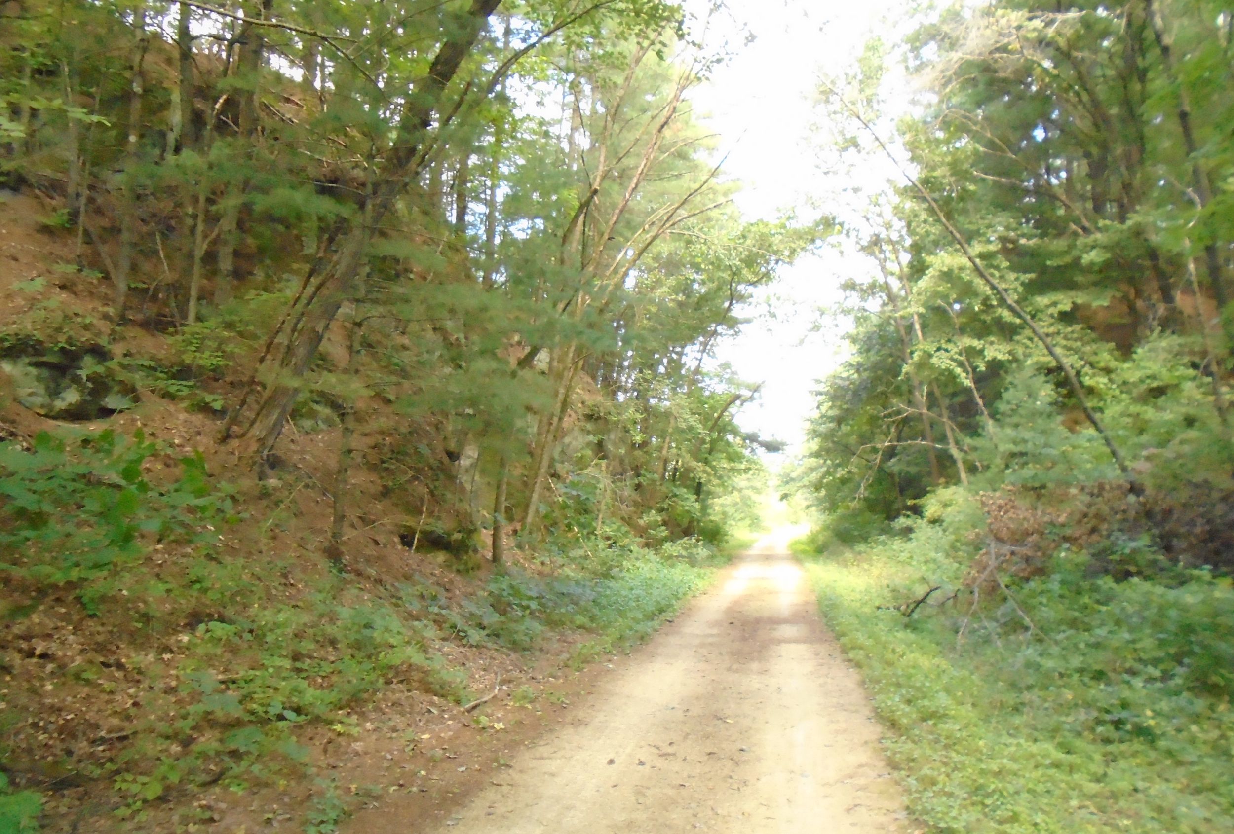
From the gap, it is a half mile to where the Hillsboro State Trail branches off west from the “400” State Trail. After the path leaves the narrow pass, it crosses Hahn Street and travels behind a large Land O’Lakes Dairy factory. Behind the factory, the two trails diverge. The Hillsboro State Trail journeys west about four miles to Hillsboro.
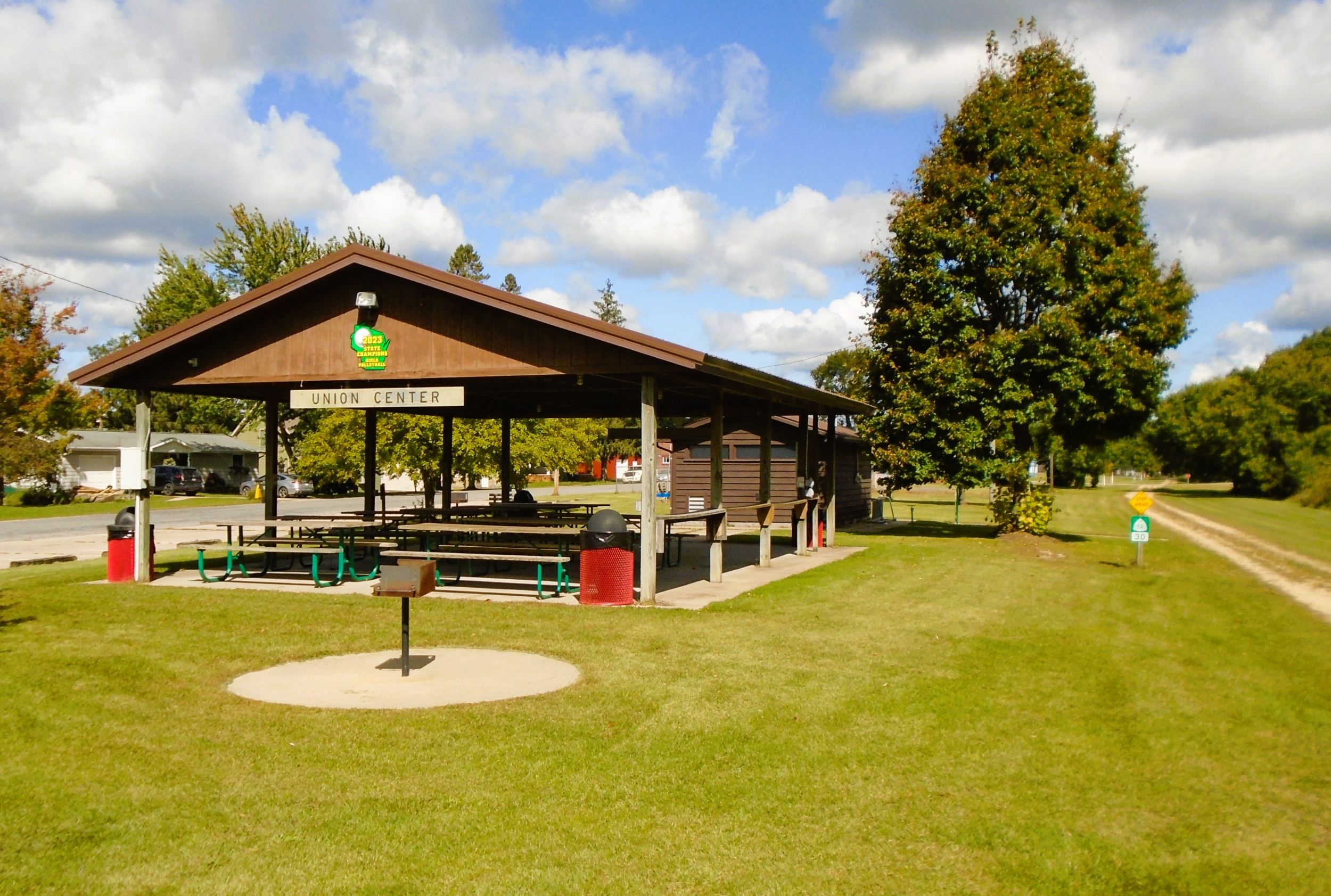
The “400” State Trail advances north across Wisconsin State Highway 33, and arrives in Union Center. There are no flashing lights to employ at that intersection, so caution is required when crossing it. The path runs adjacent to Eagle Parkway, a potential trailhead. It has a parking lot, restrooms with flush toilets, drinking fountain, covered picnic shelter, grills, self-service bicycle repair station, bike rack, playground, basketball and sand volleyball courts. By car, the parkway is easily accessed from Wisconsin State Highway 33. Turn north on High Street in Wonewoc and proceed 400 feet to the parking lot.
Union Center (originally called “Union”) was incorporated as a village in 1859. Earliest white settlers came in the 1850s to the “union” of two branches of the Baraboo River. Other sources claim the village was named in honor of the nation’s federal union. The Chicago and North Western Railroad arrived in the area in 1872. In 1902, the Hillsboro and Northeastern Railway connected with the C&NW in Union Center, and ran its line west to Hillsboro.
Today, the little community of Union Center has a convenience store, a few taverns and eateries. From Eagle Parkway in the Union Center, cyclists can head straight north on the “400” State Trail to Elroy. It is four miles from Eagle Parkway to Elroy Commons, mostly alongside Wisconsin State Highways 80-82. Traffic can be heard in this section, but beautiful views of the Baraboo River valley easily distract from the highway noise.
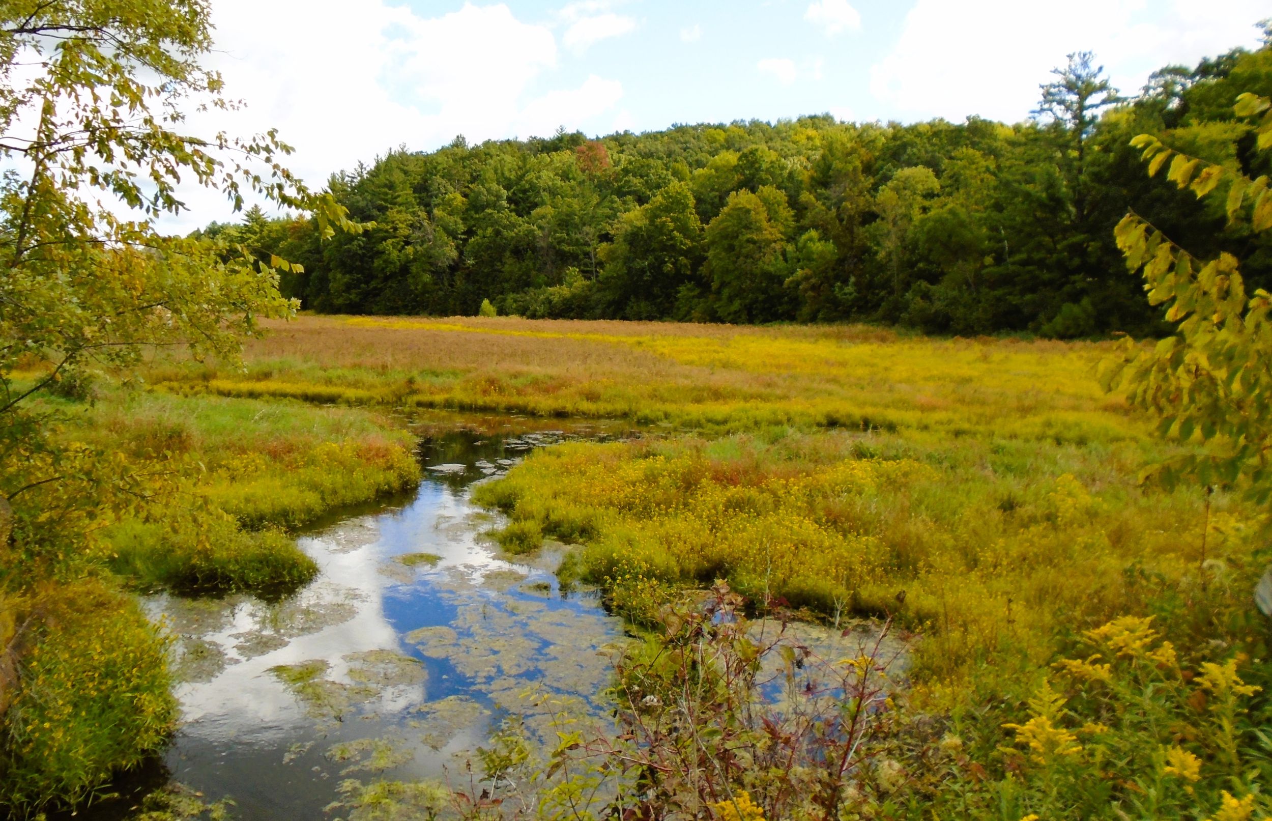
The “400” State Trail departs Union Center and advances north aside a tall bluff to the right (east). After crossing Park Street, the path travels through wetland and by a large slough. This scenery continues to the first crossing of the Baraboo River: nearby bluffs give way to sloughs and marshes. Elroy Municipal Airport is tucked into the forested countryside between bluffs, though it is difficult to see to the right (east) from the trail.
Before the next crossing of the Baraboo River, the trail passes by the Elroy Municipal Airport to the right (east). A tall bluff next to the airport towers over the trail at the river crossing. Behind it is a smaller promontory that’s harder to see from the wooded path. The smaller prominence is Kimball’s Bluff, and is less than half a mile east of the trail.
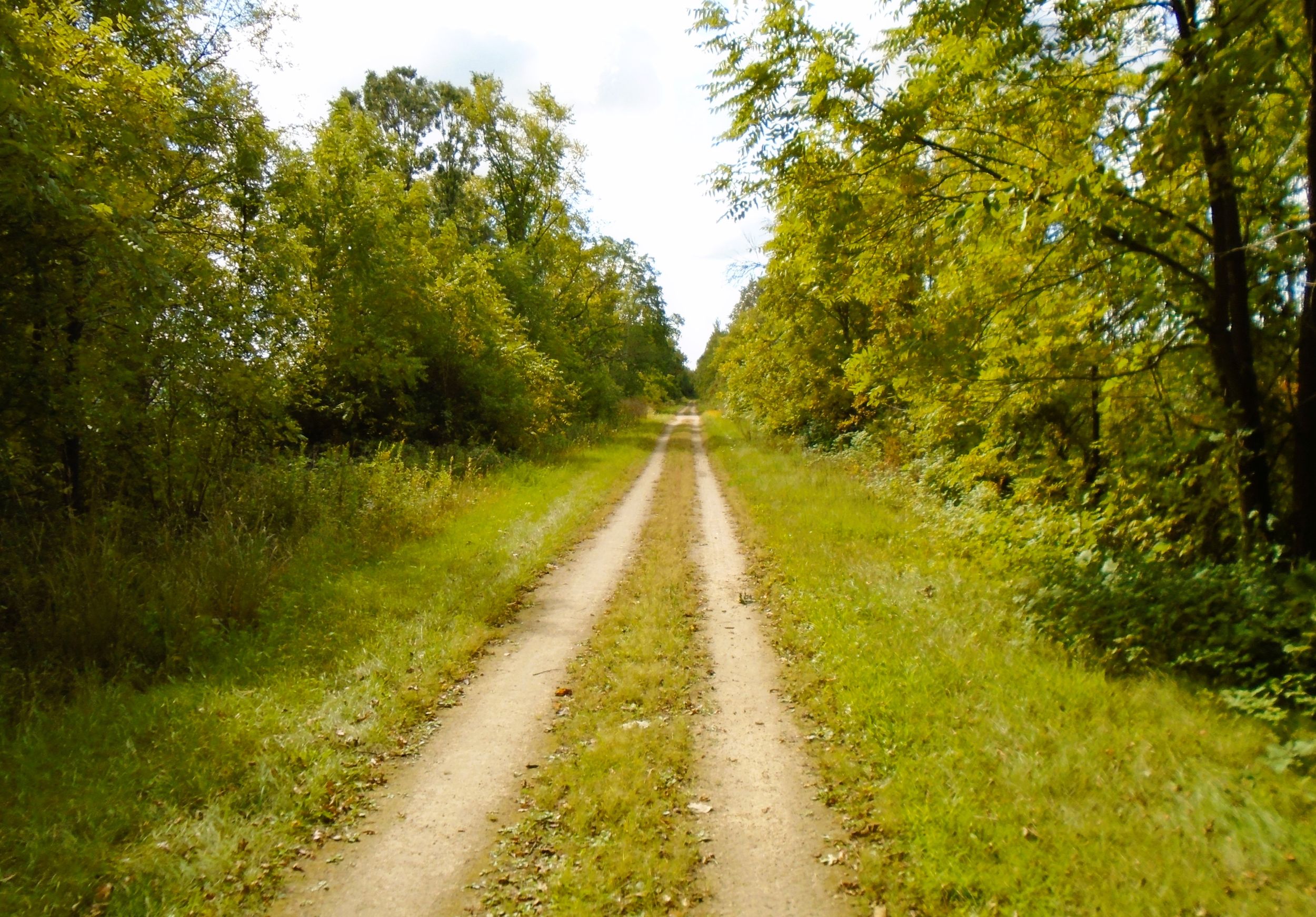
After crossing the Baraboo River, the trail enters Tiedtke Valley. This valley is named after a farming family of German immigrants who settled in the area in the late 19th century. The trail continues north 1.2 miles through the valley lowlands to the next crossing of the Baraboo River. The third river crossing comes 0.7 miles further down the path.
Between the second and third river crossings, the trail arrives in Elroy. A large welcome sign is visible from the path. Schulz City Park is located across Wisconsin State Highways 80-82, and home to the Elroy Fair. The annual fair hosts activities such as horse and tractor pulls, bull riding, musical entertainment, carnival rides, animal showings, and tasty food.
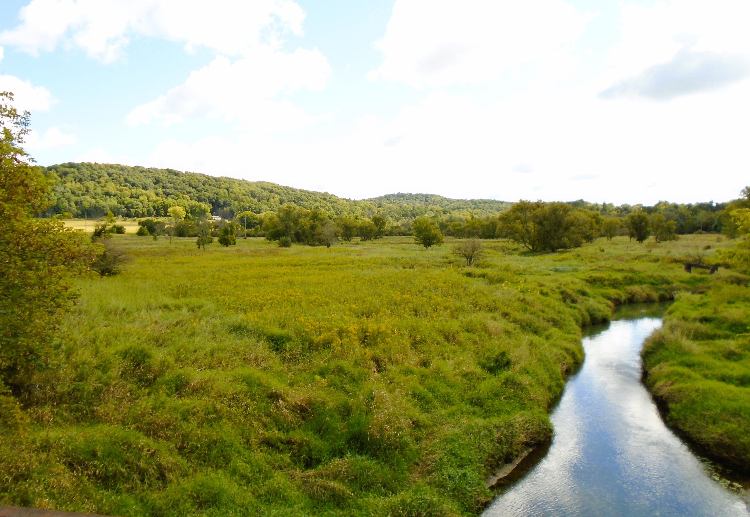
Trail-goers need to cross the busy state highway to access Schultz Park, and no crosswalk is provided. The park does offer many amenities. It has a swimming pool, playground, ball field, volleyball and tennis courts, and restrooms. There is also a campground with tent and electric sites. Camping fees are paid at the Elroy Commons Trail Shop.
It is less than a half mile from the final bridge over the Baraboo River to the end of the “400” State Trail at Elroy Commons. In this distance, the trail crosses two city streets. Technically, the “400” State Trail continues another quarter mile north to Cedar Street.
Cyclists continuing to the Omaha Trail or Elroy-Sparta State Trail should head west on Cedar Street in the bike lane for one block. Turning north on 2nd Main Street and traveling about a mile leads to the Omaha Trail. The Elroy-Sparta State Trail is reached by continuing on Cedar Street for one more block and crossing Wisconsin State Highways 80-82.
Elroy Commons has many amenities and is a great place to begin or end a ride on the “400” State Trail. It is accessed by turning east off Wisconsin State Highways 80-82 into the Elroy Commons parking lot. It is located at 303 Railroad Street, next to the Elroy Fire Department.
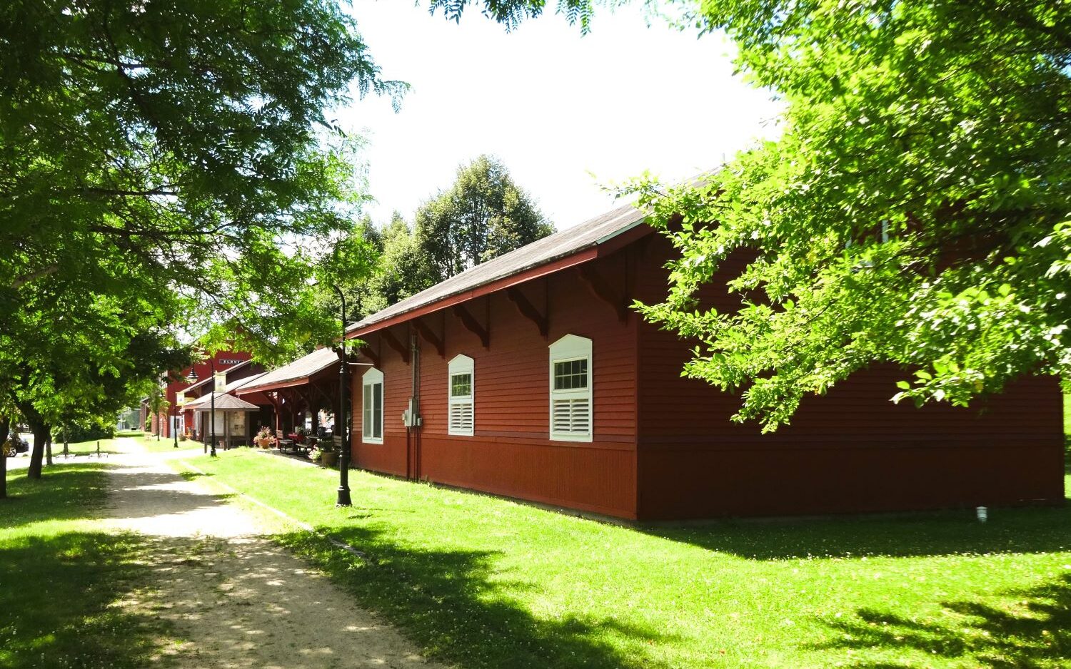
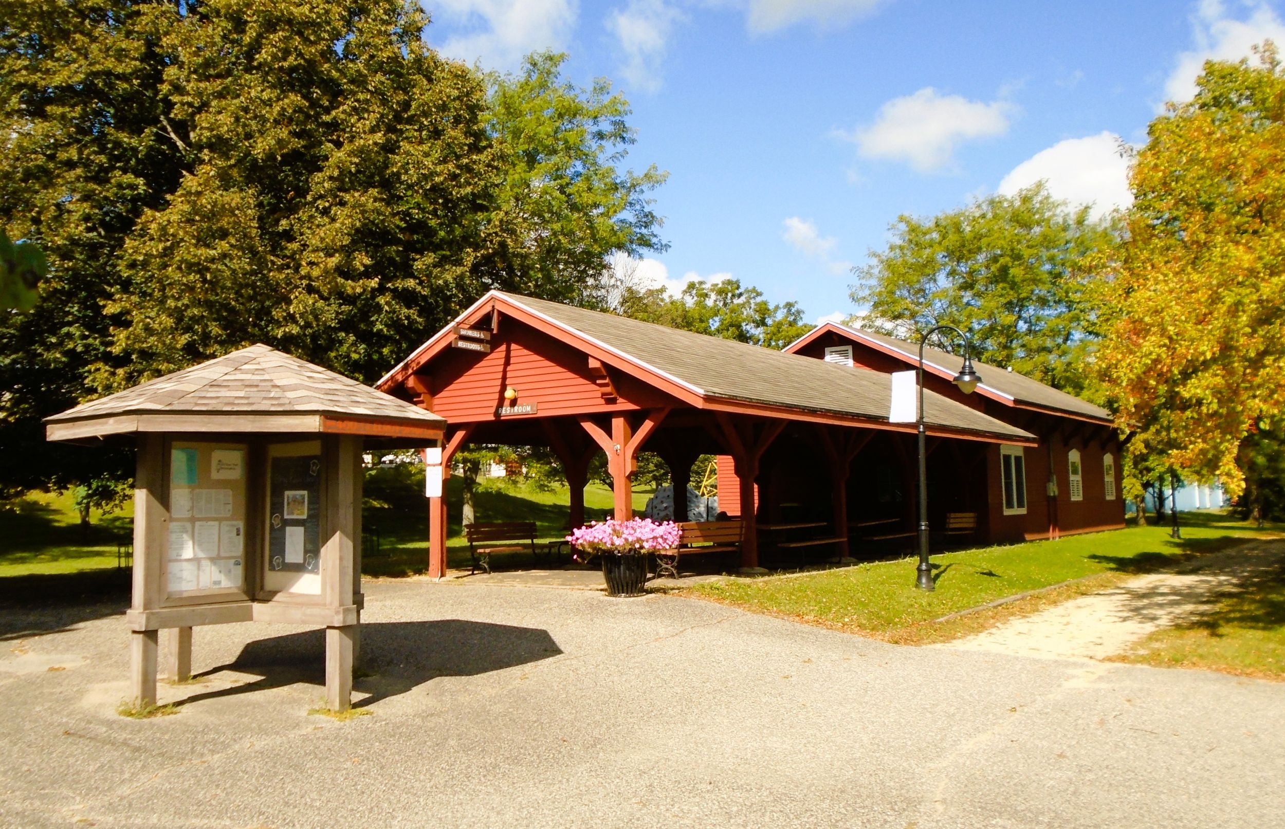
Elroy Commons has a large parking lot, restrooms with flush toilets, drinking fountain and water bottle filling station, and hot showers. It also has a gazebo, information kiosk, self-service bicycle repair station, bike rack, and covered picnic shelter. A small shop sells a variety of goods including trail passes. It also repairs bicycles and rents them to the public.
White settlers first came to the area that became Elroy in the early 1850s. It incorporated as a village in 1879, and as a city in 1885. In the late 1800s and early 1900s, Elroy served as a main hub for the several railroads. Because these former lines have been converted to recreational trails, the city now boasts the slogan “Where the Trails Meet.” The “400” State Trail, Elroy-Sparta State Trail, and Omaha Trail converge in Elroy.
In the late 1900s, Elroy became a railroad town. The Baraboo Air Line Railroad came in the 1870s. A year later, it was acquired by the Chicago and North Western Railway. The Chicago, St. Paul, Minneapolis, and Omaha Railway also traveled through Elroy. Both railroad companies maintained roundhouses and other operations there.
Views of nearby bluffs and rocky precipices rising above the Baraboo River Valley in this part of Wisconsin’s Driftless Region. No ancient glaciers ever touched this terrrain. The scenic landscape is a highlight of a ride on the “400” State Trail. At some places, these wooded ridges are near the trail. More often, they mark the distant borders of the low Baraboo River valley. But the view is spectacular, and easily appreciated from the trail.
Trail last ridden and documented in September, 2025.
Map of trailheads and addresses along this section of the trail.