UW-Green Bay Cofrin Arboretum
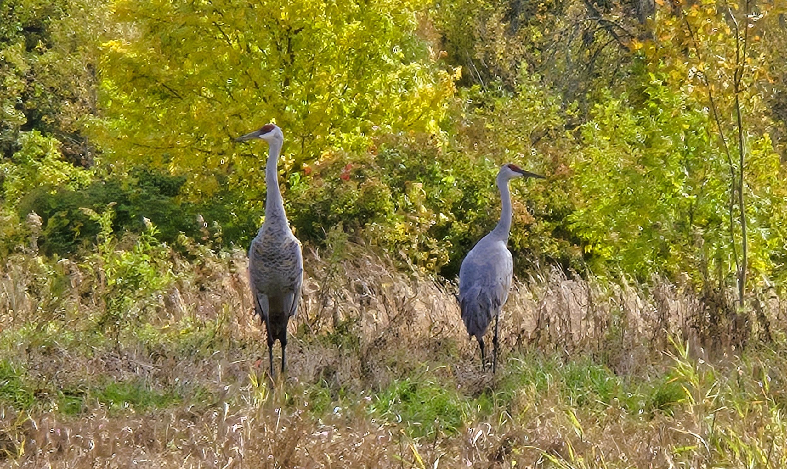
The Cofrin Memorial Arboretum is a scenic nature preserve covering 290 acres on the campus of UW-Green Bay. The main trail encircles the university. It travels through diverse ecosystems, including forests, prairies, and meadows. The trail also travels next to the shore of Green Bay. The arboretum’s habitats support an array of native Wisconsin plants. It is home to 45 mammal species, 200 bird species, and other amphibians, reptiles, and insects.
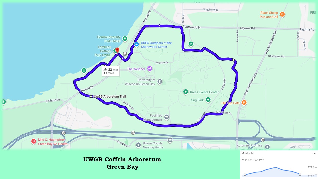
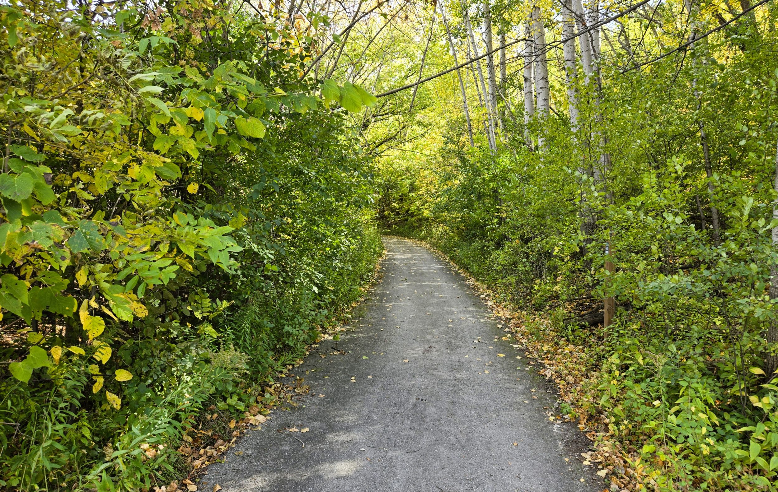
The surface of the 4.1-mile main trail alternates between asphalt and crushed limestone, in good condition. The trail is narrow, but accommodates cyclists who travel at a reasonable speed. In some places, the trail is bumpy due to tree roots and frost upheaving the asphalt. In total, the arboretum has 8.37 miles of trails. Spur trails lead off from the main path to different sections of the preserve. Their bark surface indicates these hiking trails are not intended for bicycle traffic. Cyclists may park their bicycles to further explore these paths.
The Cofrin Memorial Arboretum is located on the edge of the Niagara Escarpment. This long ridge of dolomitic limestone runs through Canada and the United States, from New York’s Niagara Falls through Ontario, Michigan, and Wisconsin. Because of the arboretum’s location along the Escarpment, the trail gently climbs and then falls approximately 110 feet. Recognized as a UNESCO World Biosphere Reserve, it supports a variety of micro-habitats.
It can be complicated to reach the Cofrin Arboretum at UW-Green Bay by car from Interstate Highway 43. Attention is is needed to prevent missing two exits. From the interstate, take exit 185, and go north on Wisconsin State Highways 54-57 for one mile. Then take the exit for County Highway A (Nicolet Drive and University Avenue). Follow the county road (Nicolet Drive) north 0.6 mile to the main entrance of UW-Green Bay.
There are several trailhead options at the university. Free public parking lots are at located at Shorewood, Communiversity Park, and Lambeau Cottage. The address of the Lambeau Cottage lot is 2487 Nicolet Drive. Community Park is further north at 2531 Nicolet Drive. Shorewood parking lot is off N. Circle Drive. Another parking option is a pull-out on S. Circle Drive by the southwest university entrance. Parking in other university lots requires a permit, but a five-day grace period is given to visitors before a permit is required.
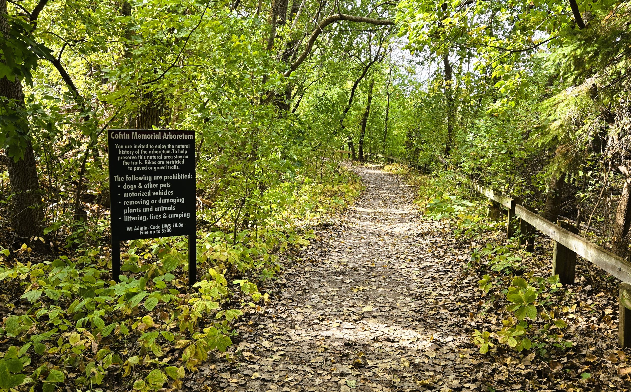
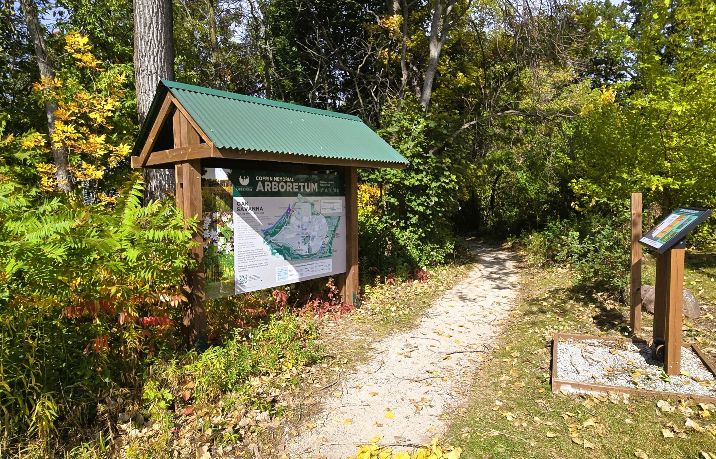
None of the trailheads have amenities, other than information kiosks with maps. Park benches and picnic tables are found only at Community Park. Interpretive markers are found along the route and offer insightful information about the different ecosystems there. Trail-goers should familarize themselves with posted trail rules. These include staying on the path, restricting bicycle usage to paved and crushed stone trails, and not damaging or removing plants and animals. Dogs and other pets are not permitted in the arboretum.
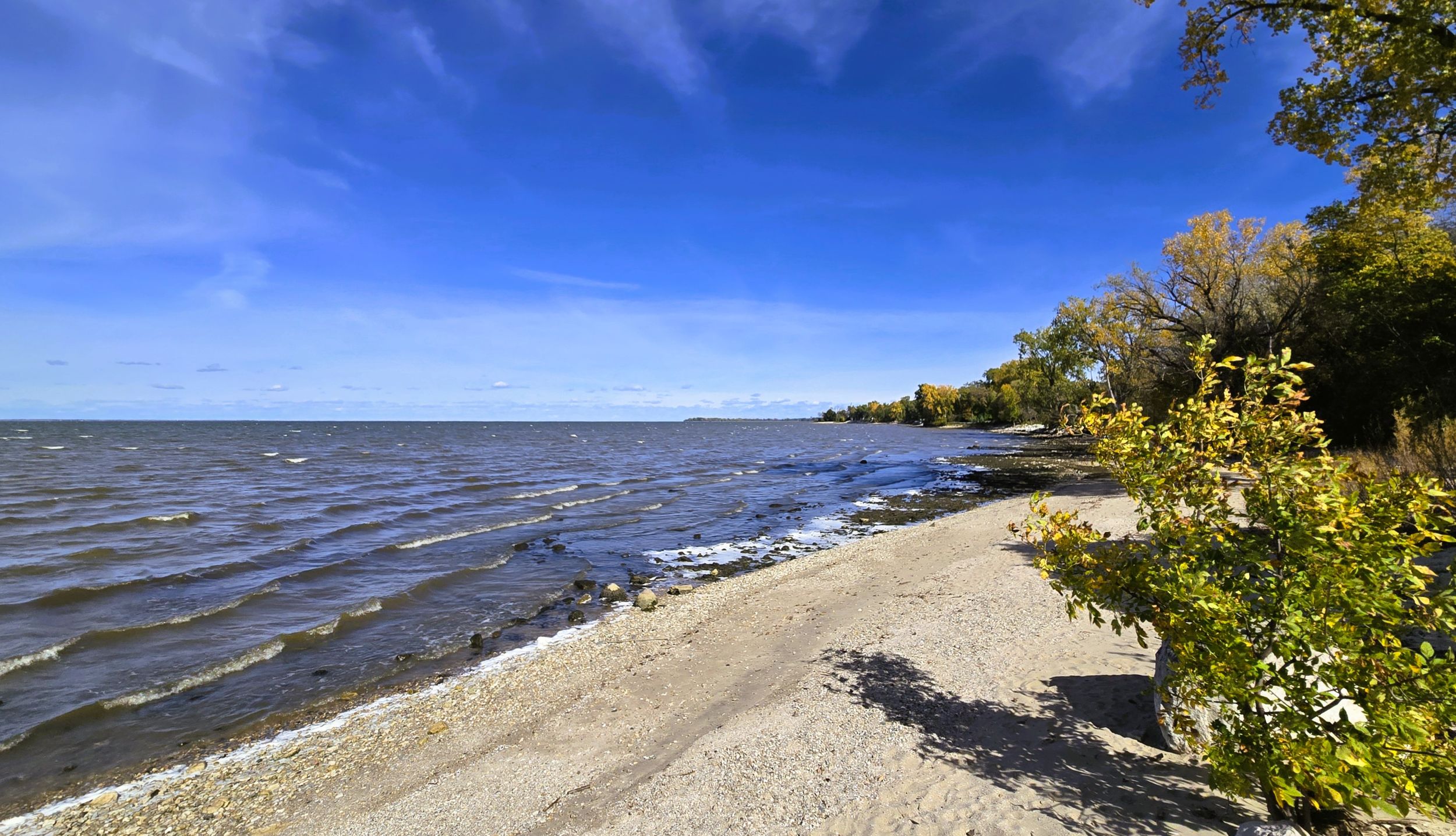
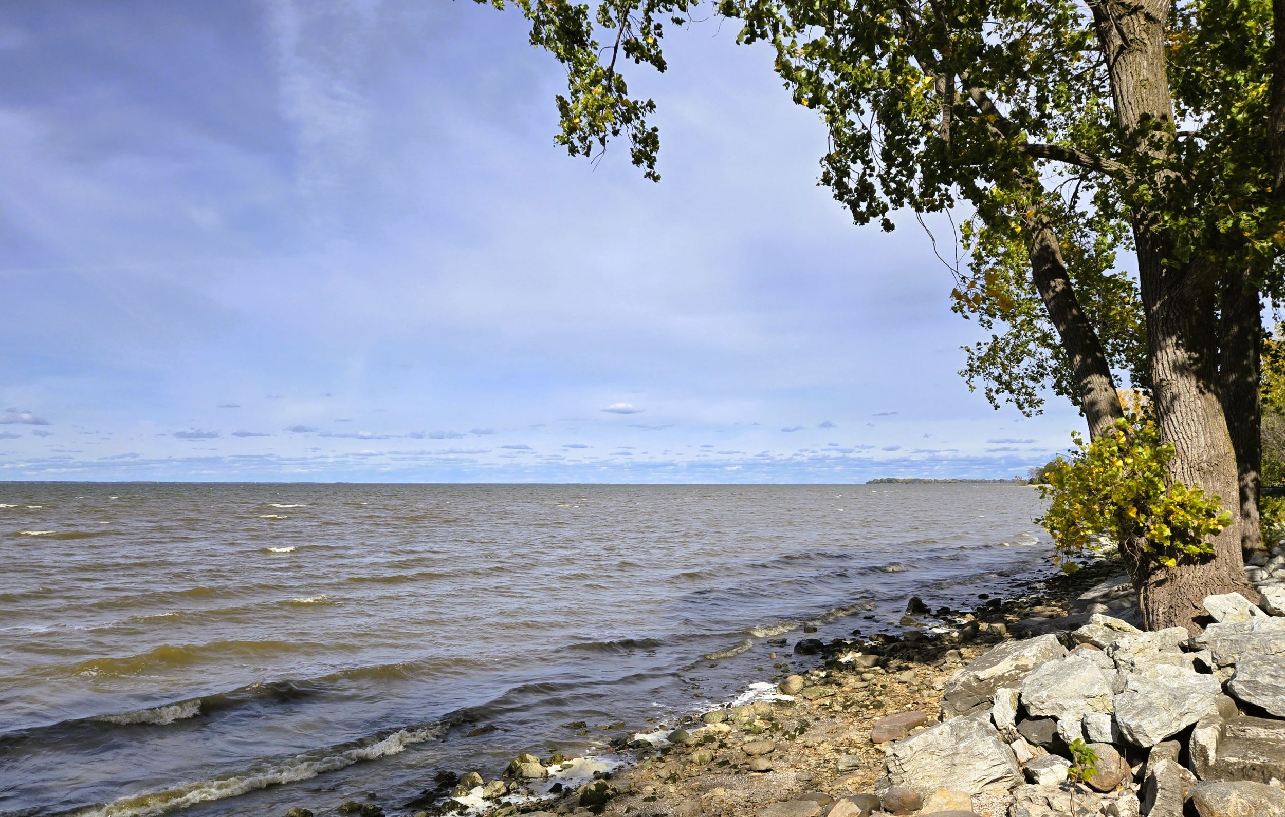
The trailhead at Lambeau Cottage is a good place to begin a ride on the Cofrin Memorial Arboretum. The trail and information kiosk is located on the south side of the parking lot. Before beginning an excursion, trail-goers may want to take in the view of beautiful Green Bay. The shoreline offers a stunning scene of the bay and city of Green Bay. Bay Beach Amusement Park and Leo Frigo Bridge are seen far off in the distance. American white pelicans, seagulls, and other waterfowl are frequently found in the water nearby.
Trail-goers may also want to view Lambeau Cottage. In 1919, Curly Lambeau founded the Green Bay Packers and coached the team for three decades. He built this waterfront cottage in 1941, and stayed there when the Packers trained at Rockwood Lodge (Bayshore County Park) by Dyckesville, ten miles further northeast. The cottage now belongs to UW-Green Bay.
The Cofrin Arboretum trail leaves the parking lot and goes south through Bayshore Woods for 0.6 miles. This section contains a forest of cottonwood and water maple trees. A sign indicates tiny Bayshore Pond. It is easy to access the shoreline of Green Bay from the trail. After the path turns left (east) and approaches Nicolet Drive, it divides. The path to the left crosses Nicolet Drive. A crosswalk with warning signs assist trail-goers across the road. The path to the right passes under the road’s bridge next to Mahon Creek.
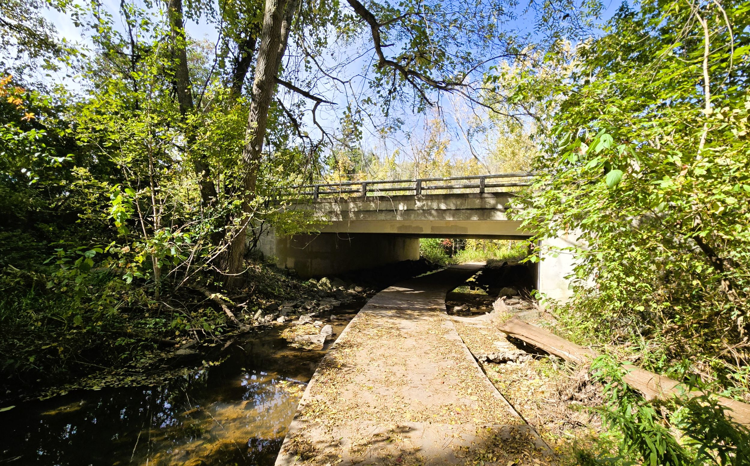
Now in Mahon Woods, an interpretive marker is found east of the bridge. Trail-goers may want to stop at all trailside interpretive markers to learn more about all that the arboretum offers its visitors. Once again the trail divides. Cyclists should follow the path to the left. This is the main route. It leads uphill for 175 yards to roadside parking off Circle Drive. The trail to the right better serves hikers, as it enters the shaded forest of Mahon Woods.
The main trail continues east through Mahon woods, past the roadside parking trailhead. Mature oaks and sugar maple grow here, along with large white pines. The trail gradually climbs in elevation for 1.5 miles, traversing Keith White Prairie and Les Raduenz Woods.
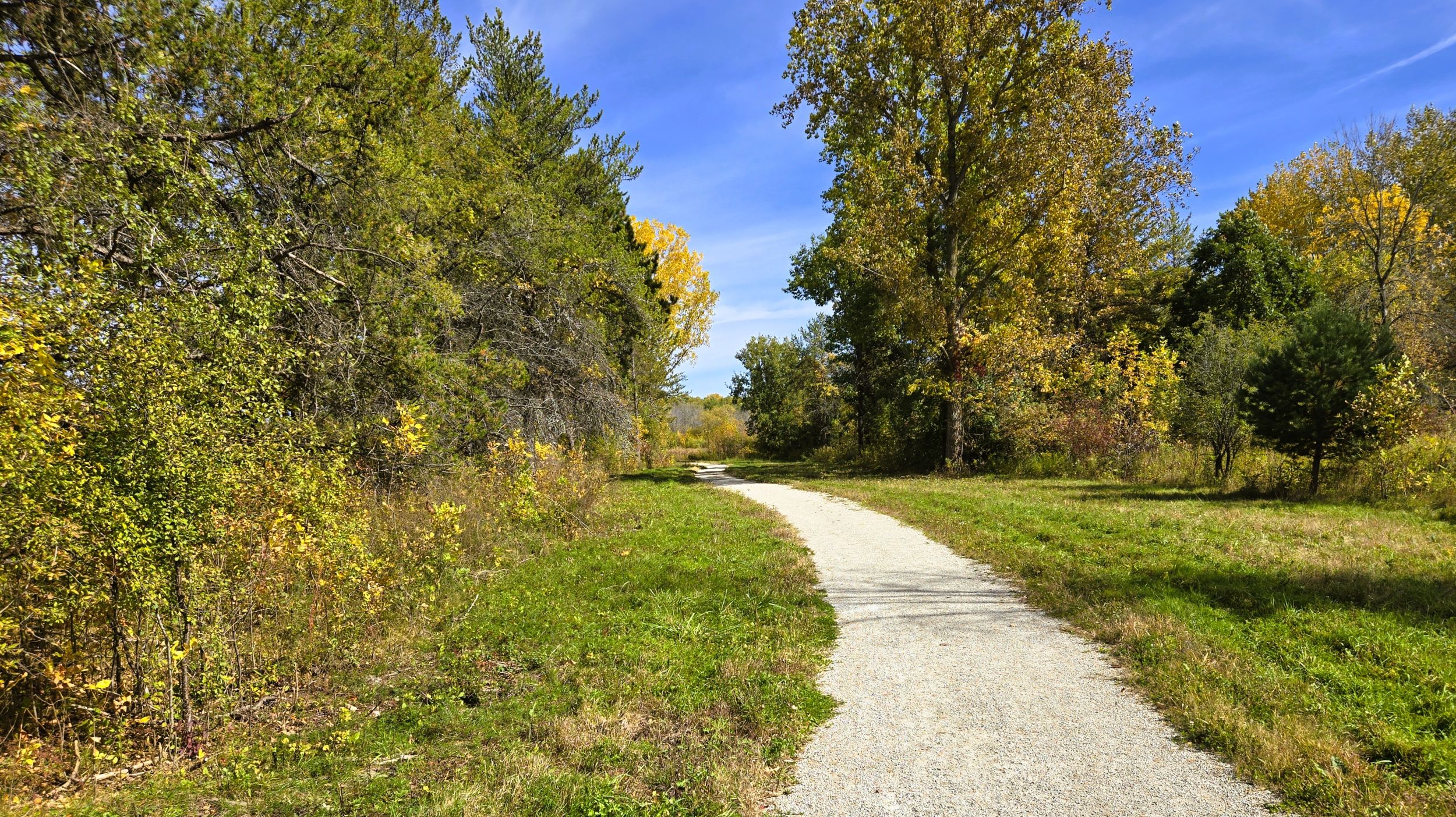
Keith White Prairie covers over 13 acres of the arboretum. Periodic prescribed burns there reduce invasive species and encourage growth on native grasses and flowering plants. Dominant grasses include big bluestem, yellow prairie grass and switch grass. Some flowering species are purple coneflower, prairie dock, and Culver’s root.
The Les Raduenz Woods is the next section on the route. The trail continues to climb uphill as it travels through a mixed hardwood-conifer forest. It also passes by Upahki Pond. At the end of this section, the hiking path that branched off in Mahon Woods rejoins the main trail. The route next turns left (north) and crosses Leon Bond Drive.
On the north side of the road is the university’s soccer field. Now in the Niagara Escarpment section near the top of the ridge, another hiking trail leads off to the right (east) uphill. The main trail journeys north past the soccer field, and divides again. While a paved path leads left (west) next to the soccer field to Circle Drive, cyclists continue right (north) on the crushed limestone trail. The path is now at its highest elevation.
Other hiking trails branch off to the right (east) and ascend the escarpment to its rocky limestone cliffs and forest of eastern white cedar. One trail leads to the Shrine of St. Anthony of Padua. The little chapel was built in 1925 by Odile Le Mieux. Now part of the Cofrin Memorial Arboretum, Le Mieux’s descendants, the Jadin family, still maintain the chapel.
Beginning a downhill descent to the left (west) and entering the Oak Savanna section, the main trail advances toward Ledge Creek. The path crosses the creek near upper Ledge Creek Ponds. The bridge between the two ponds is a peaceful place to pause and enjoy the beauty of the landscape. Another view of one of the ponds is a short distance further.
The trail continues descending in elevation. It crosses Circle Drive near campus housing, and skirts an old golf course. Today, it has hiking trails and a disc golf course. The trail journeys through a forest of oak and hickory, next to old fairways and putting greens. A small section of the trail follows Highwood Lane. The path then turns left (south). One highlight in this section is crossing on a tall wooden bridge that spans a deep ravine.
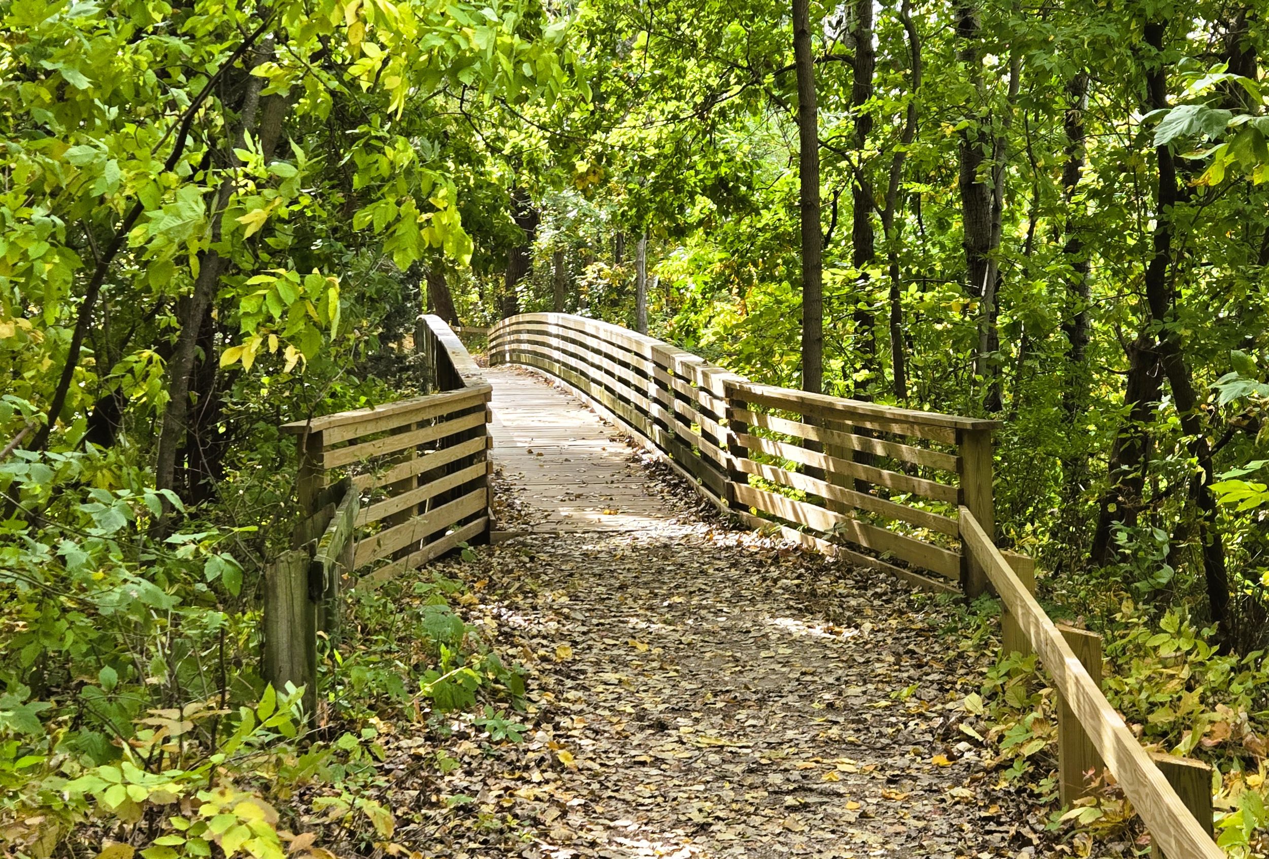
The path next arrives at Shorewood parking lot, one of the trailhead options. An information kiosk is located there. South of the the parking lot, the trail turns right (west) and descends a steep hill to Nicolet Drive. It drops about 35 feet. Although this small section is paved, the surface there has bumps from bulging tree roots. A crosswalk, warning signs, and self-employed flashing lights provide safety when crossing Nicolet Drive.
On the west side of Nicolet Drive is the entrance to the Lambeau Cottage parking lot. This completes the 4.1-mile circular route. North of the Lambeau Cottage lot is Communiversity Park. A 400-fott long trail connects the two trailhead locations. Communiversity Park has park benches, picnic tables, and is known for its outstanding sunset views on Green Bay.
Several attractions near the Cofrin Arboretum are worth visiting. Bay Beach Amusement Park and Wildlife Sanctuary are two miles away on East Shore Drive. Bike lanes support a pleasant and safe ride there. Ten miles to the north is Bayshore County Park. On the eastern boundry of UW-Green Bay is Bay Settlement Road. A lookout tower is located there, and other picturesque views of the city and bay are observed along this road. It goess north to Wequiock Falls County Park, where a little creek cascade over the Niagara Escarpment.
Bicyclists are welcomed to enjoy the diverse and picturesque landscape as they tour the Cofrin Arboretum trail. After a ride, trail-goers may want to visit UW-GreenBay’s campus. Cofrin Library is a central landmark, and the Weidner Center offers performing art productions. Kress Events Center is a multipurpose athletic facility that hosts UWGB’s basketball and volleyball teams. The University Student Union includes The Phoenix Club, a pub featuring bar and arcade games. Pizzas, sandwiches, and beverages are served there.
Map of trailheads and addresses along this section of the trail.
Although less than five miles in length, a bicycle ride on the Cofrin Arboretum’s main trail is packed with natural beauty. Trail-goers are exposed to various landscapes, ranging from expansive views of Green Bay to oak savannas and open prairies. The trail does not see a lot of traffic, but its is primarily used by pedestrians. Bicyclists should use caution and limit their speed and this narrow and meadering path. Nonetheless, it is a delightful ride.
Trail last ridden and documented in October, 2026.