Glacial Drumlin State Trail: Jefferson to Sullivan
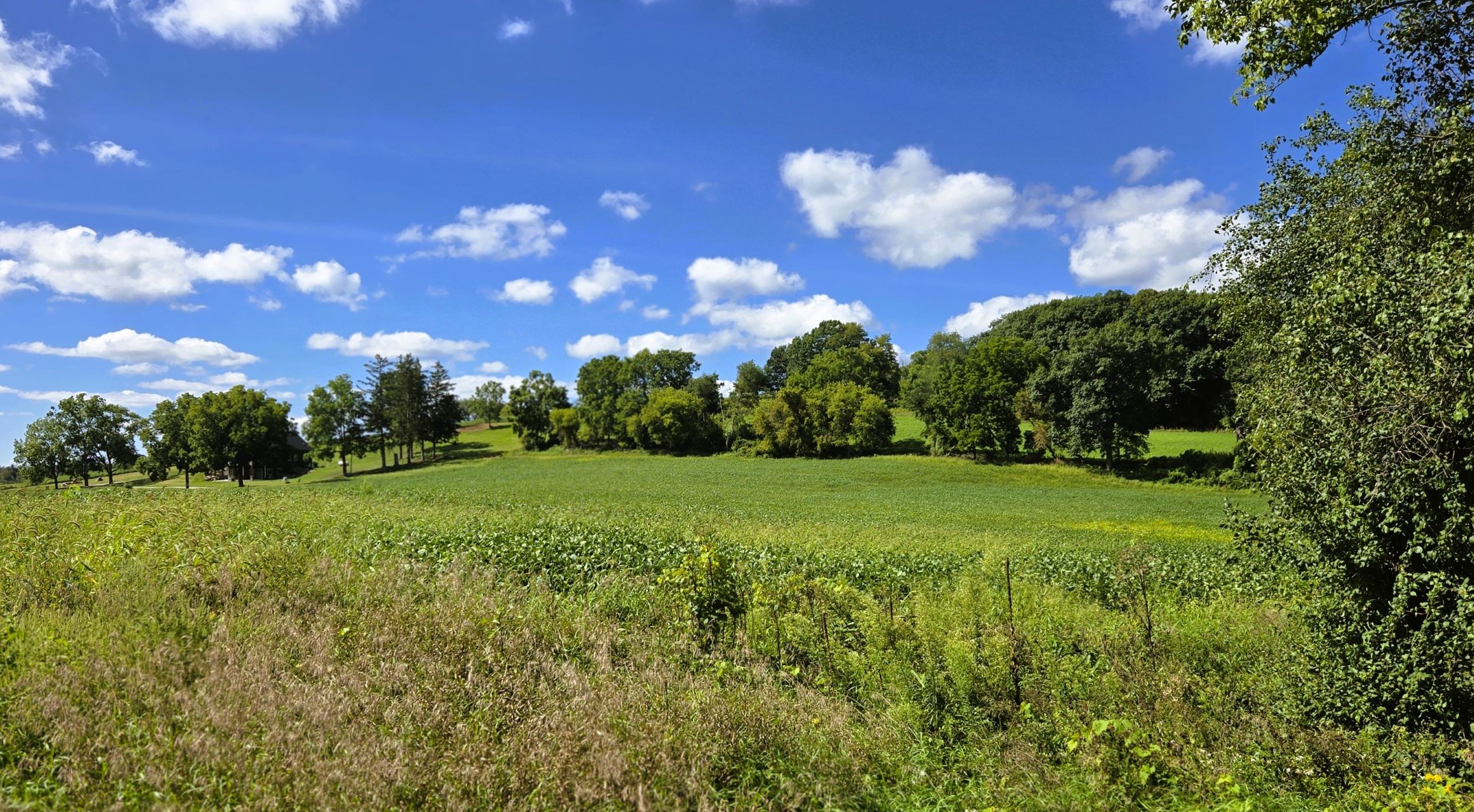
The section of the Glacial Drumlin State Trail from Jefferson to Sullian travels through open farmland, charming meadows, hardwood forests, and vast wetlands. A corridor of trees and bushes surrounds the trail, offering some shade. Other parts of the route cut through broad marshes, with spacious lowlands offering outstanding views of the terrain. It’s common to see quaint farmsteads and fields of corn, soybeans, or hay on the distant rolling hills. Many of these hills are drumlins, a unique oval landform created by ancient glaciers.
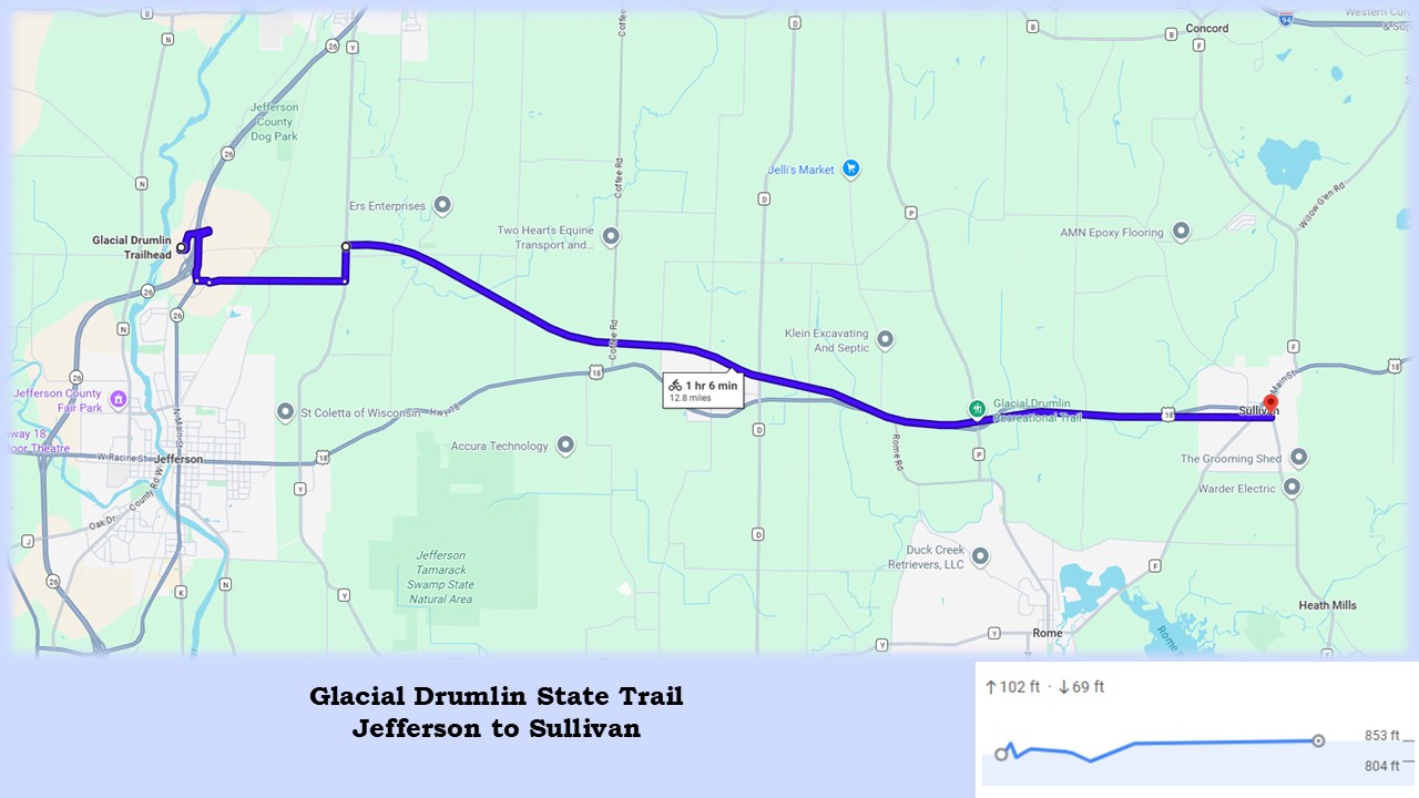
It’s 12.8 miles from Jefferson to Sullivan on the Glacial Drumlin State Trail. One section of the route travels nearly two miles on hilly country roads. This first part of the trail rises slightly as it moves from west to east; the second half of the route is fairly level.
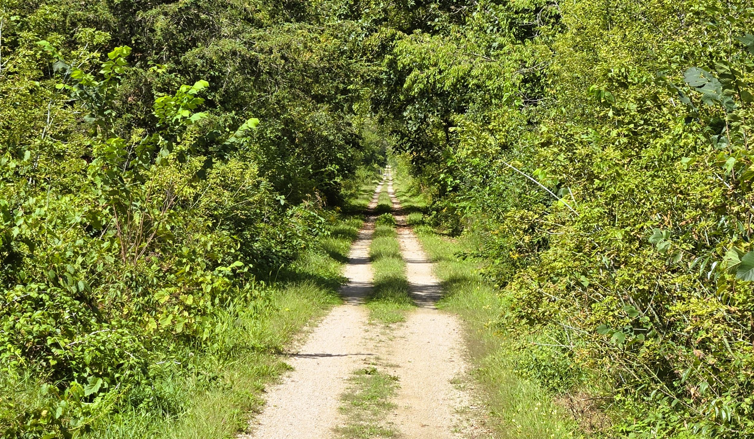
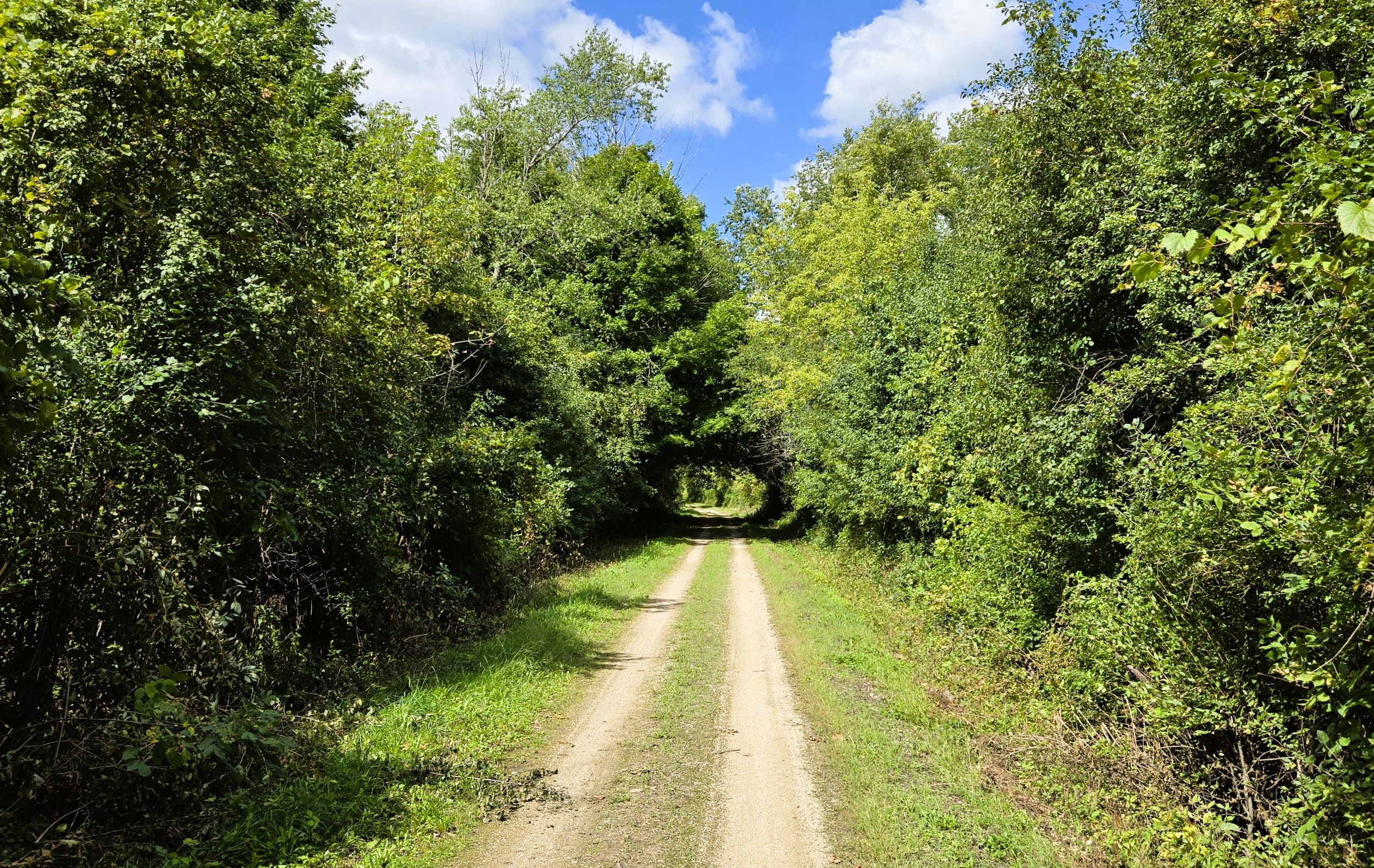
The surface of the Glacial Drumlin State Trail path is finely crushed limestone, in good condition. Throughout most of this segment, especially in forested areas, the path is nothing more than two lanes of crushed limestone and compacted earth with a grassy median. Holes on the side of the trail from burrowing animals may pose problems for inattentive cyclists. A large portion of the route travels near U.S. Highway 18, and the trail crosses it once.
Jefferson Junction has a trailhead for the Glacial Drumlin State Trail. This small community north of Jefferson was once the intersection of two rail lines. Historically, it served as the junction of the Chicago and North Western Railway’s Janesville-to-Fond du Lac and Madison-to-Milwaukee lines. Now it’s home to a trailhead with parking lot, bench, and information kiosk. It is located on Schreiber Road.
It can be tricky reaching the trailhead by car. From Wisconsin State Highway 26, take exit 30 north of Jefferson. From the ramp, turn north on Business Highway 26 (Indianhead Drive). Drive 0.4 miles to the intersection with Schreiber Road/Valero Way. Turn left (east) onto Schreiber Road and drive 0.2 mile to the trailhead entrance.
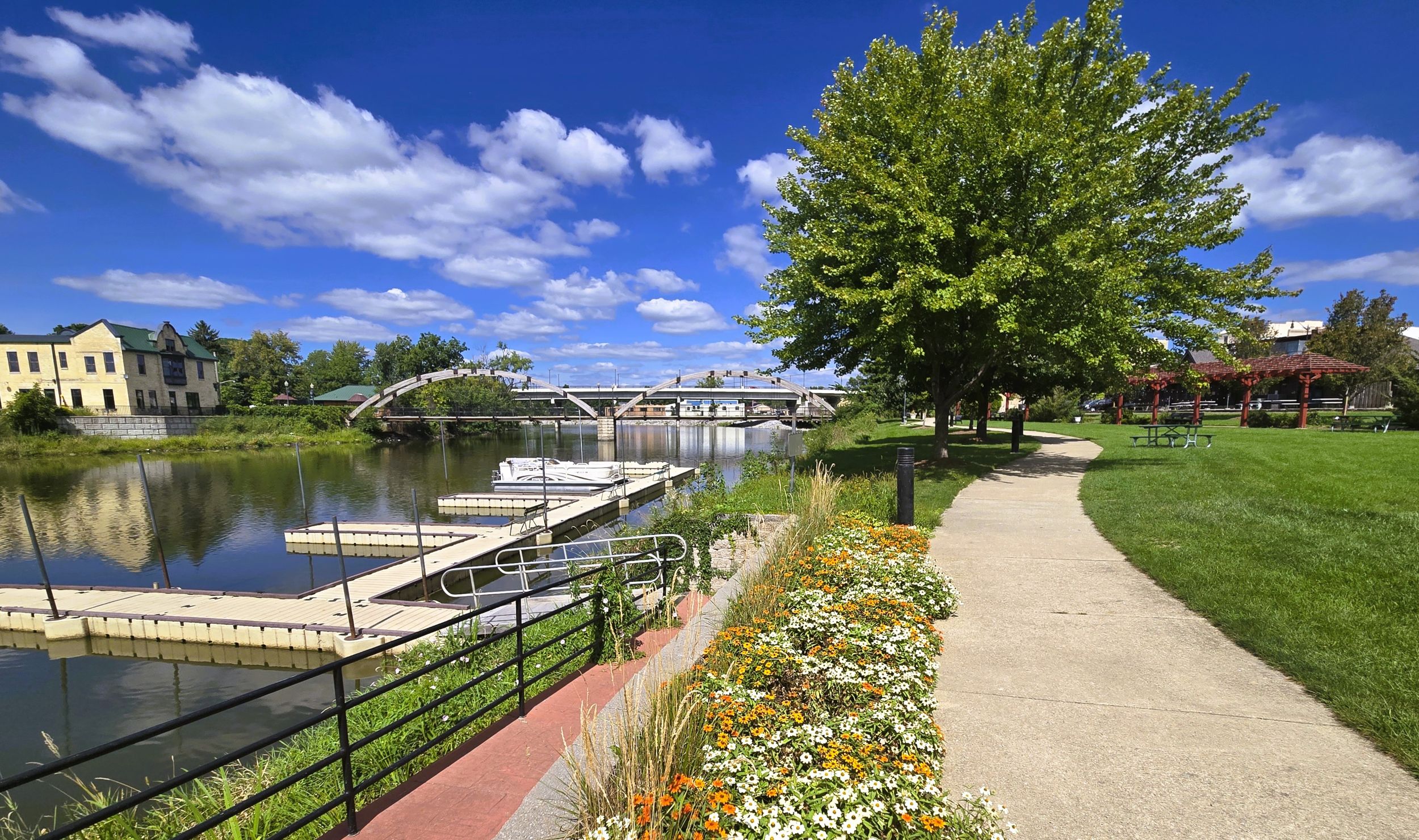
The delightful city of Jefferson is a few miles south of the trailhead. It’s the county seat of Jefferson County, and has a quaint downtown. Rotary Park is found there on the east bank of the Rock River, near its confluence with the Crawfish River. The park is worth visiting and well-equipped with restrooms, a band shelter, benches, and picnic tables. A pedestrian bridge spans the Rock River, and walking paths along the river offer beautiful vistas.
Downtown Jefferson has numerous other places to visit. Stable Rock Winery and Distillery serves wines and spirits in a converted livery and stable. The “Jefferson,” a rum barrel-aged Cabernet Sauvignon, is a standout. The popular bar and grill Rock Bottom Express is found in a restored historic train depot directly next to the park, offering delicious pub fare.
A few blocks away, Wedl’s Hamburger Stand and Ice Cream Parlor is a great place for a quick bite to eat. In operation since 1916, this local favorite serves slider-style hamburgers, cheese curds, and other comfort foods. Chocolate Shoppe Ice Cream is also available.
Jefferson developed due to waterpower from the Rock River. In 1839, it was the furthest spot up the river that steamboats could travel. New England settlers began arriving in the mid-1830s. A century later during World War II, a prison camp named Camp Jefferson was built at the County Fairgrounds to house German POWs. Today Jefferson thrives as a small city, proud of its vintage buildings on Main Street, just a few blocks from Rotary Park.
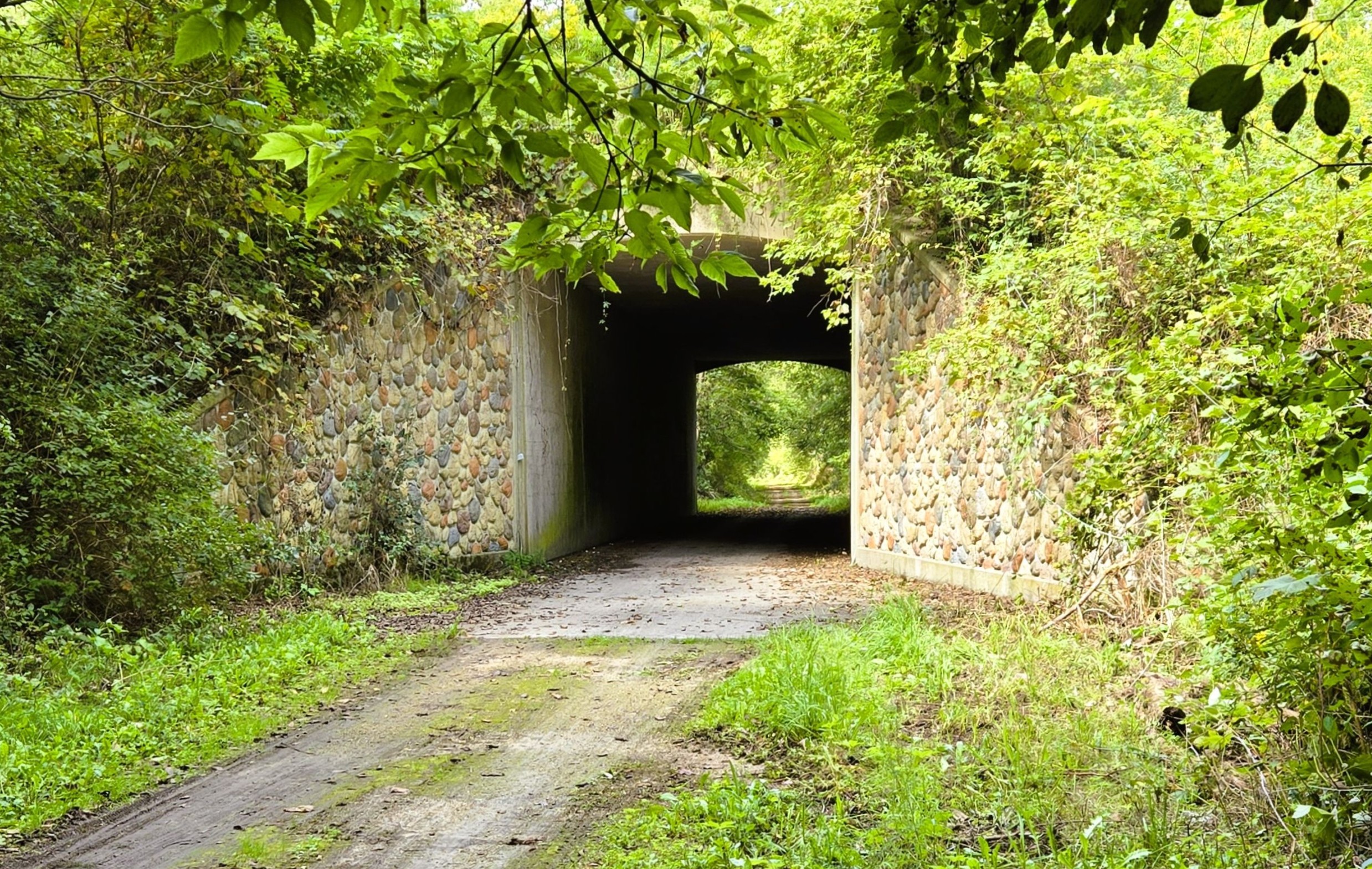
Returning to the Glacial Drumlin State Trail, the path leaves the trailhead and heads east through a tunnel under Indianhead Drive. After turning left (north), it climbs 35 feet over 350 yards to a bridge that crosses Wisconsin State Highway 26. The trail turns right (east) and travels next to Joe Turley Way across the overpass. On the east side of the bridge, the trail leaves the road and enters a switchback. The path descends to the original elevation on a hairpin curve, before turning left and heading south for a half mile.
The route of the Glacial Drumlin State Trail next follows country roads for nearly two miles before returning to a crushed limestone path. After arriving at Tower Road, the heads left (east) for a short distance to Junction Road. At that intersection, trail-goers may digress to the right (south) to visit a nearby A&W at the Jefferson Travel Plaza. The fast food chain offers burgers, hot dogs, root beer, soft serve ice cream cones, and root beer floats.
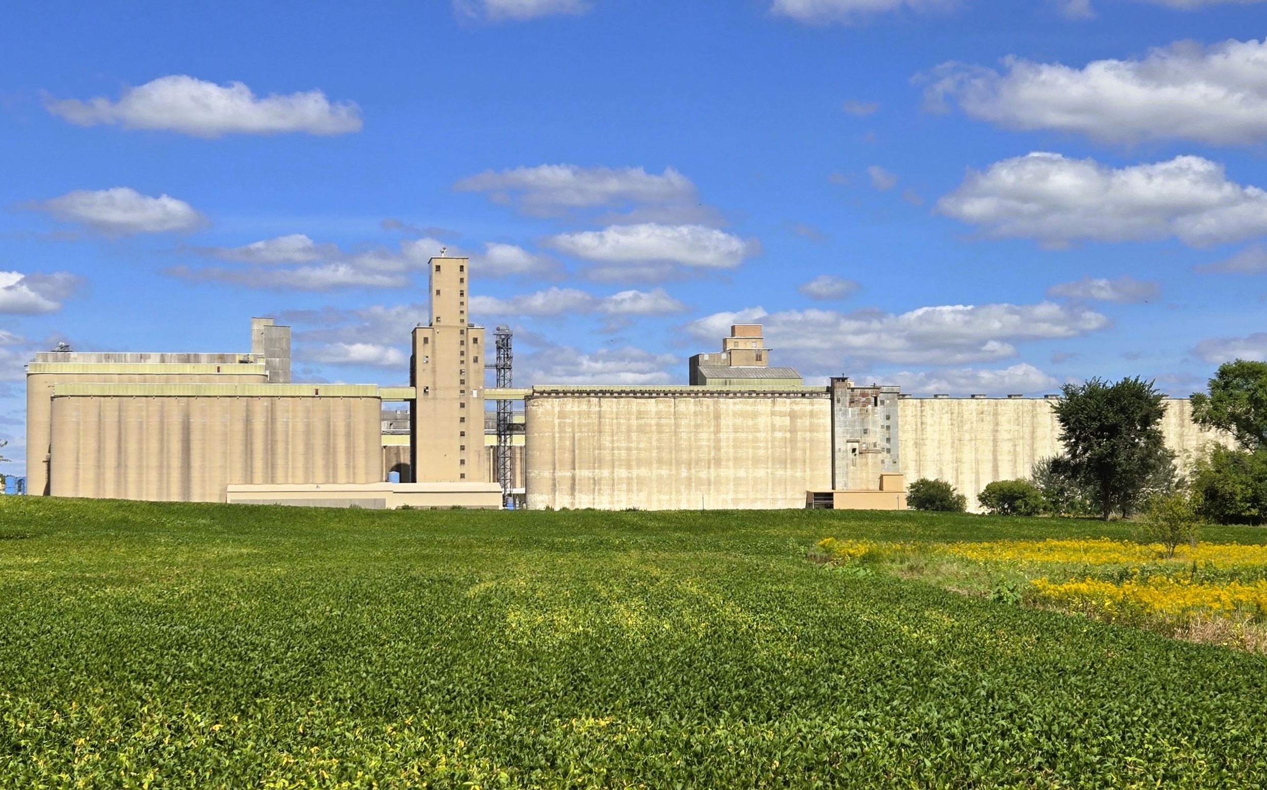
From Tower Road, the route of the Glacial Drumlin State Trail turns left (east) on Junction Road and travels 1.4 miles. Cyclists ascend and descend several hills on the way. On the left (north) side of the road is a massive Aztalan Bio, LLC plant. The factory dominates the skyline. It processes millions of bushels of locally grown corn to produce renewable fuels, food ingredients, animal feed co-products, and agricultural inputs. Its main products are ethanol and corn oil. This site is the largest single consumer of corn in Wisconsin.
Junction Road ends at County Highway Y. Signs direct bicyclists left (north) on the county road for 0.4 miles. A small bike lane is provided on the edge of the road. The route then turns right (east), and resumes on the path. After 0.8 mile, it crosses Marsh and Christberg Roads. Along the way, it bridges Johnson Creek. East of Christberg Road, the Glacial Drumlin State Trail angles southeast and travels that direction for four miles.
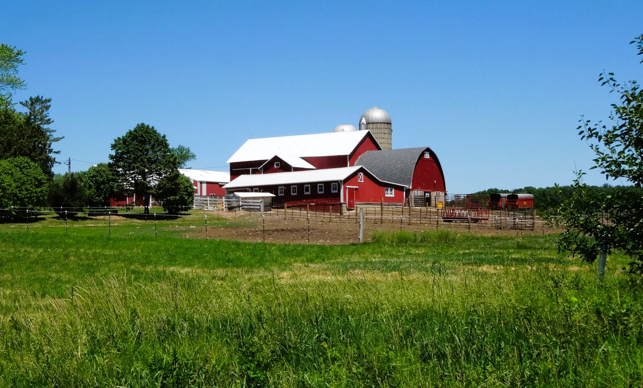
It’s 1.1 miles from Christberg Road to Switztke Road. The trail passes through a forest and by farm fields, before emerging in a marshy meadow where it crosses Johnson Creek again. At Switzke Road, a small gravel parking lot near the path may serve as a trailhead. The trail then ventures through fertile, rolling farmlands for two miles to Helenville. In this stretch the path crosses Probst Lane, Coffee Road, and Bakertown Road.
A tunnel under Helenville Road announces the Glacial Drumlin State Trail’s entrance to this unincorporated community. The trail moves 0.6 mile through the wooded hamlet to County Highway D. A trailside picnic table sits here, next to the abandoned silo of a grain mill. It is seven miles from the Jefferson Junction trailhead to Helenville.
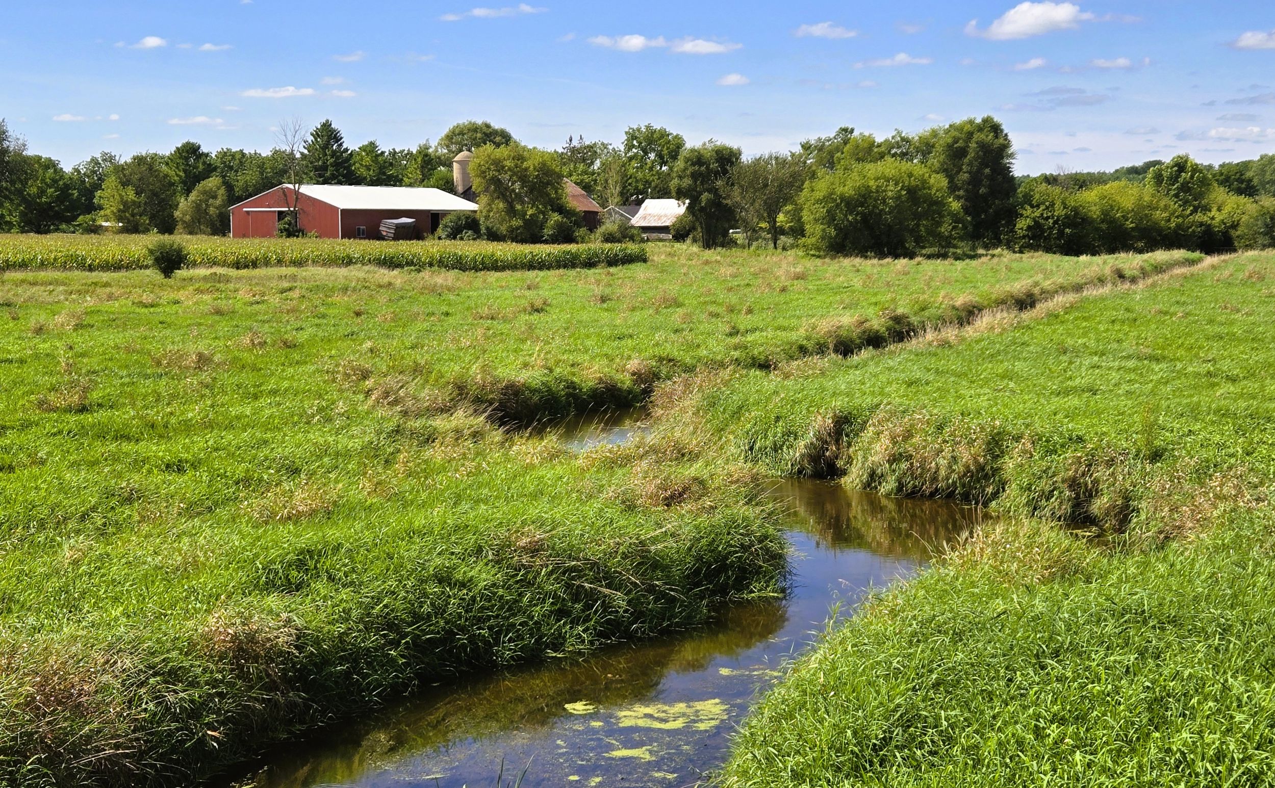
Helenville was settled by German immigrants beginning in 1844. The community’s name involves an unsubstantiated, humorous bit of folklore. It was founded in 1851 by the postmaster, Orgies Bullwinkel. He initially named the settlement after himself. However, his wife urged him to rename after her, and the town was renamed Helenville.
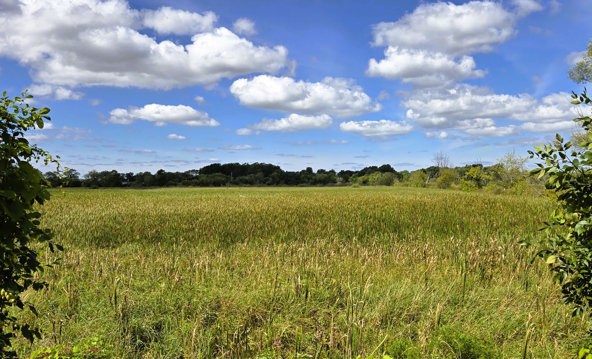
Back on the Glacial Drumlin State Trail, the path turns east after passing Helenville. It next cuts through a vast marsh between County Highway D and Duck Creek Road. The marsh is a half mile wide, filled with reeds and perennial grasses. Pockets of trees grow near the trail. Forests, fields, and farmsteads are visible in the distance.
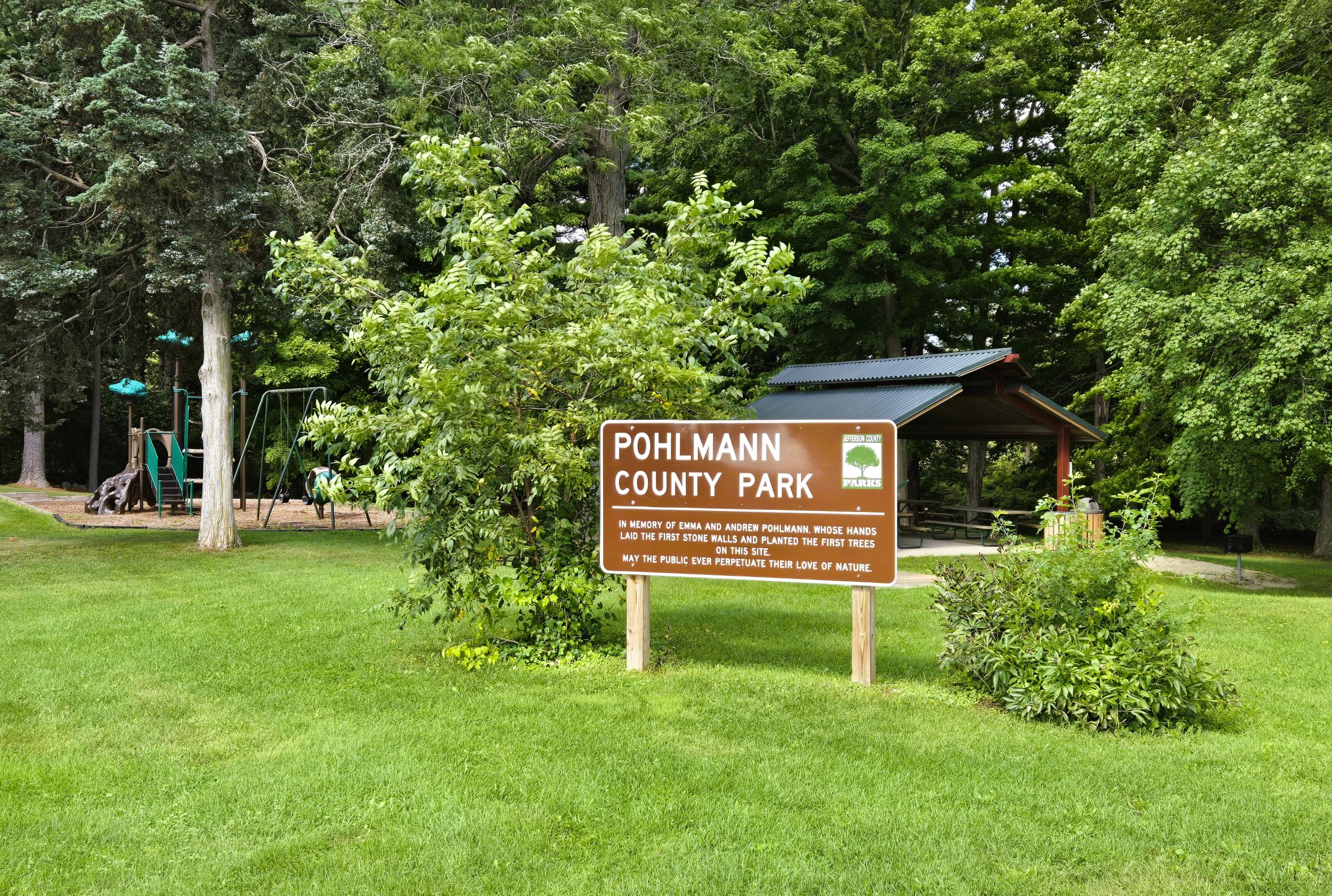
At Duck Creek Road, a posted sign informs trail-goers of nearby Pohlmann County Park. It is a short distance to the right (south) on Duck Creek Road. An old silo sits by the parking lot, and a monument commemorates the Pohlmann family who farmed here. The park has a covered picnic shelter, restrooms, a hand pump, picnic grills, and playground. By car, it is reached by turning north on Duck Creek Road from U.S. Highway 18.
It is 0.8 mile from Duck Creek Road to Farmington Road. Along the way, the trail crosses Duck Creek as it travels through forests and by fields. Farmsteads are seen from the trail; many operational since the mid-1850s. These include the Heine and Broedlow Farms.
East of Farmington Road, the trail runs next to U.S. Highway 18 until reaching Sullivan. Traffic isn’t always seen from the trail, but can be heard. East of County Highway P, the trail crosses the highway. Cyclists should exercise caution at the intersection. Yellow signs inform vehicles of the trail crossing, but there is no crosswalk or lights at this intersection.
Near the U.S. Highway 18 intersection, public hunting grounds are located north of the trail. It’s not unusual to hear gunshots coming from this area, especially in autumn. The hunting grounds cover a large forest and open marsh, visible from the path. Also noticeable from the trail are the oblong hills that were created by glaciers in ancient times. These oval-shaped drumlins protrude from the landscape throughout the route.
It is three miles from the U.S. Highway 18 intersection to Sullivan. In this stretch, the trail crosses another branch of Duck Creek, Pioneer Drive, and a different Duck Creek. The trail parallels U.S. Highway 18, then moves away for the final mile. Sullivan may be viewed from the trail’s junction with County Highway F (Main Street).
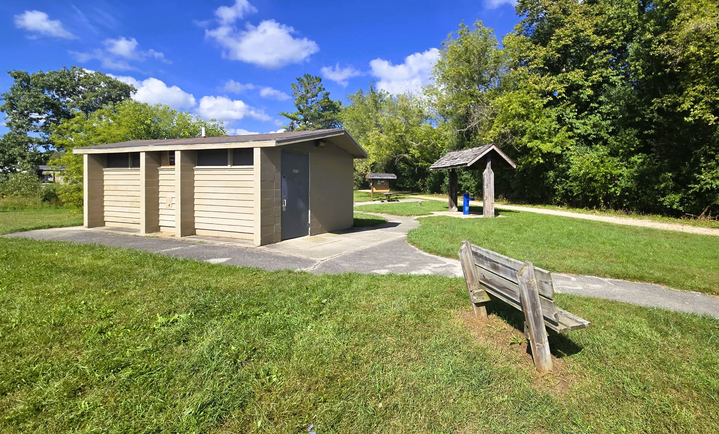
Sullivan’s trailhead is on Palmyra Street. It has ample amenities with a parking lot, restrooms with flush toilets, drinking water, information kiosk, benches, and picnic tables. It is easily reached by car from U.S. Highway 18. From the highway in Sullivan, turn south on Palmyra Street and drive 0.2 mile to the trailhead.
Sullivan was laid out in 1881, and originally called Winfield. A year later the railroad arrived, and a depot was built in 1884. The community prospered with the advent of the railroad, and incorporated as a village in 1915. At that time its name changed to Sullivan. The name honors John Sullivan, an officer in the American Revolutionary War.
Near Sullivan are the communities of Concord and Rome. In the 1850s, Charles Ingalls and Caroline Quiner lived near each other in Concord on the banks of the Oconomowoc River. In 1850 they married in Concord, and later moved to Pepin, Wisconsin. Charles and Caroline are the parents of the famous children’s author Laura Ingalls Wilder.
Map of trailheads and addresses along this section of the trail.
Caroline Quiner’s mother, Charlotte Tucker Quiner Holbrook, is buried in Hoffman Cemetery in Rome. Charlotte was born in 1809 in Massachusetts and died in 1884. Her first husband, Henry Newcomb Quiner, perished in a shipwreck on Lake Michigan in 1844. In 1849, she married Frederick Holbrook. Today, a marker indicates her grave in the cemetery in Rome.
Glacier Drumlin State Trail journeys 12.8 miles from Jefferson Junction to Sullivan. The path travels through Jefferson County’s beautiful countryside. Prehistoric glaciers left their mark on the landscape in the form of rolling hills, ridges, and marshes. These moraines and drumlins are noticeable from the trail, and the route traverses several marshes. A ride on this section of the Glacial Drumlin State Trail can be both scenic and tranquil.
Trail last ridden and documented in September, 2026.