Glacial Drumlin State Trail
The Glacial Drumlin State Trail was created in 1986 and rates as one of Wisconsin’s best bicycle trails. The 52-mile trail runs east from Cottage Grove to Waukesha. The route traverses Dane, Jefferson, and Waukesha Counties. Along the way, it passes through Cottage Grove, Deerfield, London, Lake Mills, Jefferson, Helenville, Sullivan, Dousman, Wales, and Waukesha. Trailheads and parks are found in these communities, and many towns offer places to grab a meal, tasty treat, or delicious beverage.
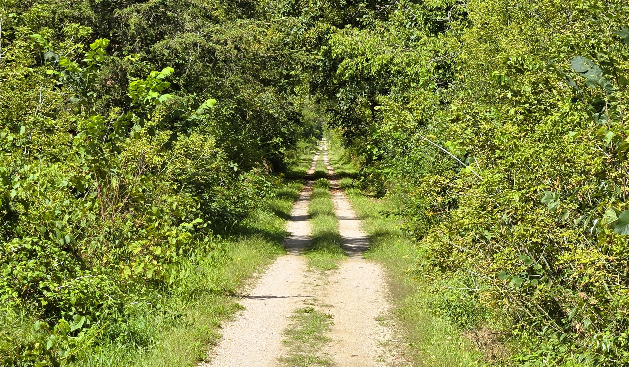
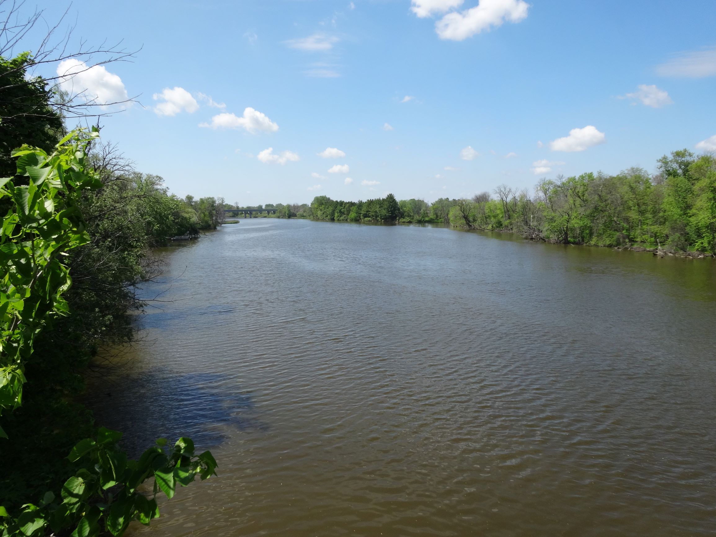
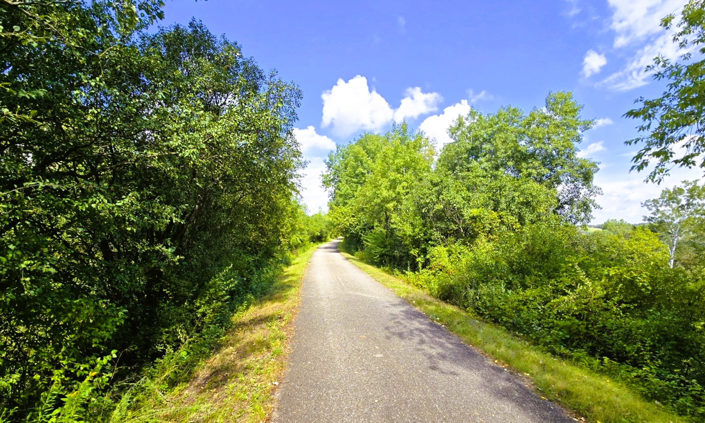
The surface of Glacial Drumlin State Trail is crushed limestone, in good condition. In certain rural areas, the path is simply two paved lanes with a grassy median. In the 14 miles from Dousman to Waukesha, the surface is paved asphalt in excellent condition. The trail’s gradient varies the most in this section; the rest of the route is level. The trail has 16 bridges along its course. In Jefferson County, the path crosses the Crawfish and Rock Rivers. Each bridge spans 300 feet. West of Jefferson, the route follows country roads for 1.6 miles.
Future plans call for the extension of the Glacial Drumlin State Trail west from Cottage Grove to join with the Capital City State Trail in Madison. Between Dousman and Wales, the path is shared for two miles by the Ice Age National Scenic Trail. Bicyclists should watch for hikers in this section. In this same segment, Cushing Park Bike Trail takes cyclists north nearly three miles to the Lake Country Trail. In Waukesha, bicyclists may continue their ride by connecting with the Fox River Trail or New Berlin Trail. The latter path journeys east to West Allis, where it connects to the Oak Leaf and West Allis Cross Town Connector Trails.
The Glacial Drumlin State Trail follows an abandoned corridor of the Chicago & North Western Railway’s route called the Madison–Milwaukee mainline. It was established in 1882, and connected the state’s capital to its largest city. The Capitol 400 was a passenger service that began in 1942. It ended in 1971, with freight service terminating in 1984. The corridor was purchased by the Wisconsin DNR and the recreational trail opened in 1986. Today this popular trail is used by pedestrians, cyclists, and in-line skaters.
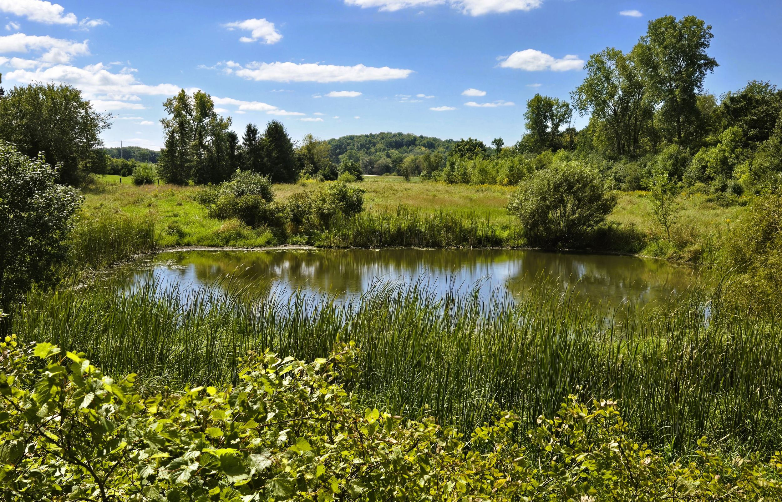
The landscape surrounding the Glacial Drumlin Trail is scenic and diverse. The route crosses vast, open marshes with quiet ponds, rivers, and streams. Several of these wetlands posed challenges during railroad construction. Bridges built over wetlands often warped or sagged when pilings sank in the muck. Today, the trail passes through the same terrain. The area by Mud Creek and in Zeloski Marsh is some of the lowest wetlands on the trail.
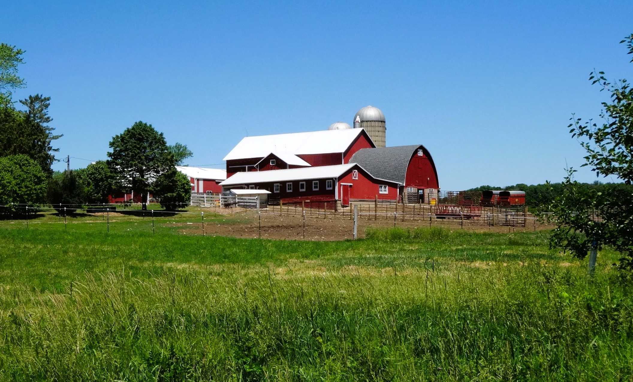
Large sections of the Glacial Drumlin Trail journey through fertile agricultural farmlands, with farmsteads, large fields of crops, and pastures covering the countryside. A corridor of hardwood trees and bushes surrounds the trail as it passes through most of these agricultural areas. In some places, the path cuts through small shady forests. In areas of open marshland, the trail runs through the bright sunshine.
One of the key landforms visible from the trail is glacial drumlins. The path’s namesake features are smooth, elongated hills formed by glacial ice sheets that moved across southeastern Wisconsin during the last Ice Age. Evidence of the ancient glaciers is apparent from the Glacial Drumlin State Trail. Massive sheets of ice crept southwest creating wetlands, ponds, and rivers. They also formed the distinguishable oval-shaped hills. Drumlins are composed of glacial drift, which includes clay, silt, sand, gravel, and boulders. The hills are aligned in the direction that the ice sheets flowed.
Running through farmland, forests, and wetlands, a variety of wildlife may be spotted from the trail. Sandhill cranes have bright red caps on their heads, and a distinctive call. Ducks, geese, and turtles frequent ponds and marshes, while spring peeper frogs and songbirds are heard. White-tailed deer, wild turkeys, red foxes, and other wildlife are commonly seen. Likewise, patches of wildflowers grow along the margins of the Glacial Drumnlin State Trail. These wildflowers bloom seasonally from May through September.
Because it is located between Madison and Milwaukee, the trail is well-used. The path sees a lot of weekend traffic, even in rural areas. Heavy trail usage especially occurs near larger municipalities on its west and east ends. Trailhead parking lots in Cottage Grove, Lake Mills, Wales, and Waukesha often become congested on good weather weekends.
Trailheads are found in most towns along the trail. State campgrounds are located near the trail in Lake Mills, Dousman, and Delafield. These include campgrounds in the Southern Unit of the Kettle Moraine State Forest, Lake Kegonsa State Park, Capital Springs State Recreation Area, and at the Sandhill Station State Campground.
Bicyclists and in-line skaters aged 16 and older using the Glacial Drumlin State Trail are required to have a state trail pass. There is no fee for pedestrians. The cost is $5 for daily use, or a $25 annual pass may be purchased. Passes may be acquired online, at local participating stores, or at a few trail self-service pay stations. A ride on the Glacial Drumlin State Trail is often an enjoyable experience, with beautiful views of different landscapes. Cyclists should exercise caution and safety on the trail, and obey all posted rules.